Higher Cloughfold
Settlement in Lancashire Rossendale
England
Higher Cloughfold
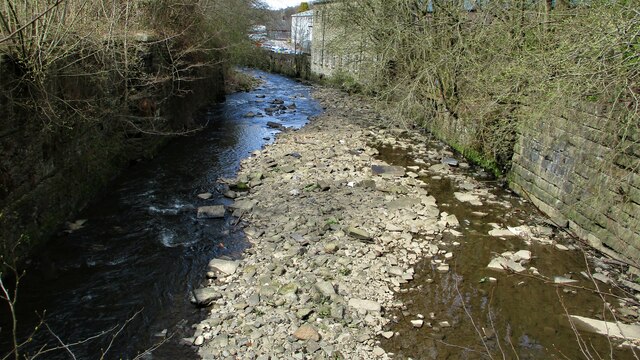
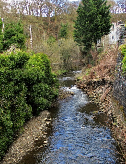
Higher Cloughfold is a small village located in the Rossendale district of Lancashire, England. Situated within the Pennine hills, it lies approximately 2 miles north of Rawtenstall and 20 miles north of the city of Manchester. The village is surrounded by picturesque countryside, offering stunning views and a tranquil atmosphere.
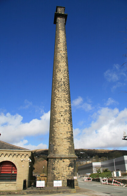
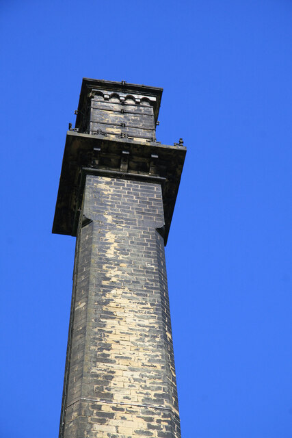
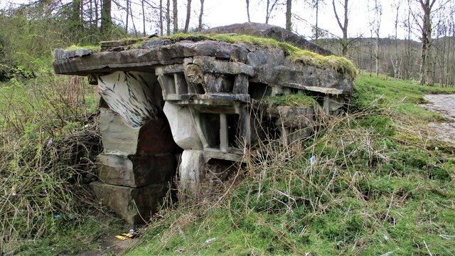
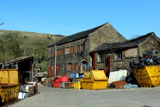
Historically, Higher Cloughfold was an important center for the cotton industry during the Industrial Revolution. Many of the original mills and former workers' houses can still be seen in the village, contributing to its rich heritage. Today, the local economy is diverse, with residents engaged in a range of industries including manufacturing, retail, and service sectors.
Despite its small size, Higher Cloughfold offers a range of amenities for its residents. The village has a primary school, providing education for children in the local area. Additionally, there are several pubs, shops, and eateries, catering to the needs of the community. Outdoor enthusiasts can take advantage of the nearby countryside, which offers opportunities for hiking, cycling, and exploring the natural beauty of the region.
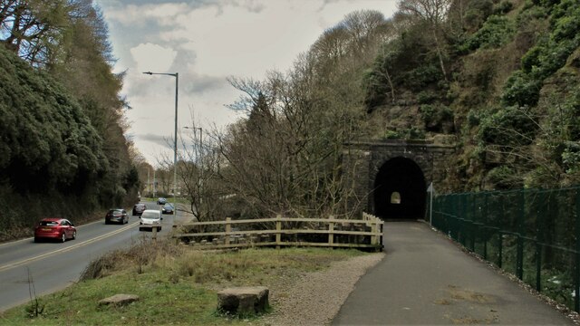
Transport links in Higher Cloughfold are convenient, with regular bus services connecting the village to neighboring towns and cities. The village is also easily accessible by car, with major roads such as the A682 and A56 passing nearby.
Overall, Higher Cloughfold is a charming village that offers a peaceful and picturesque environment, with a rich history and a strong sense of community.
If you have any feedback on the listing, please let us know in the comments section below.
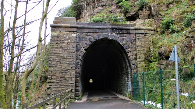
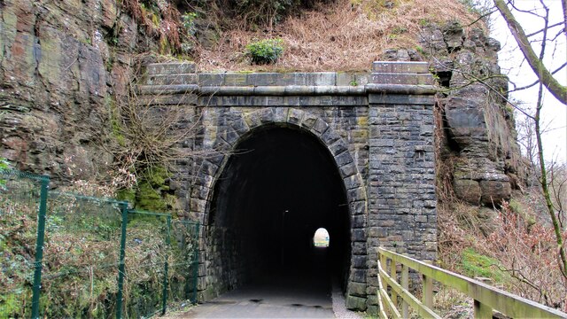
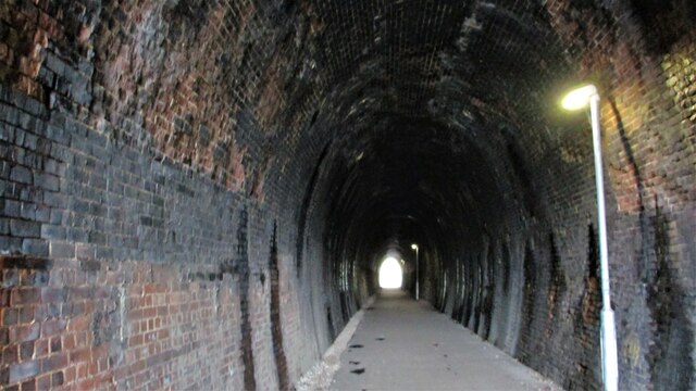
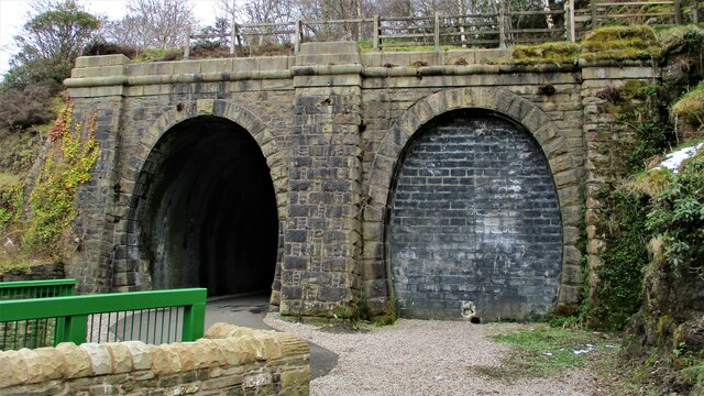
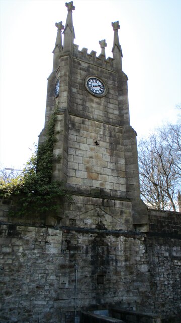
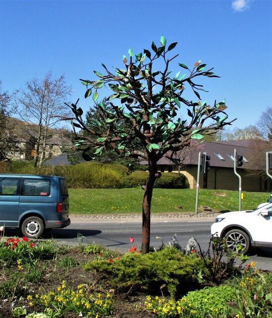
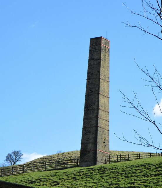
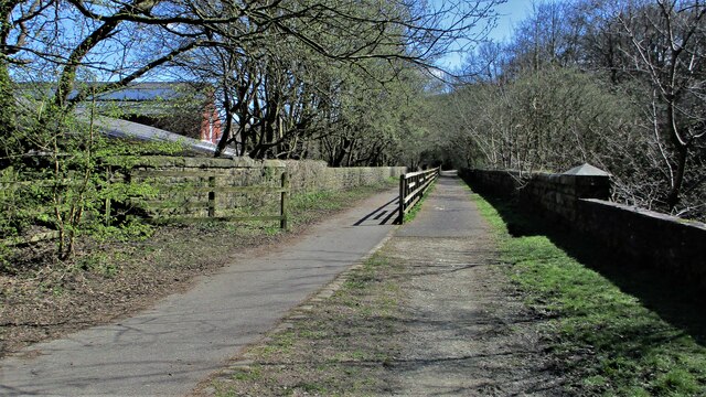
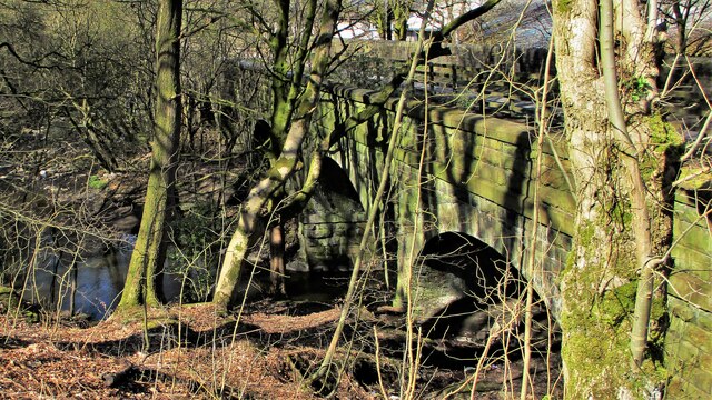
Higher Cloughfold Images
Images are sourced within 2km of 53.701819/-2.2679915 or Grid Reference SD8222. Thanks to Geograph Open Source API. All images are credited.
Higher Cloughfold is located at Grid Ref: SD8222 (Lat: 53.701819, Lng: -2.2679915)
Administrative County: Lancashire
District: Rossendale
Police Authority: Lancashire
What 3 Words
///dreams.equal.radio. Near Rawtenstall, Lancashire
Nearby Locations
Related Wikis

Cloughfold
Cloughfold is a small hamlet in between the towns of Rawtenstall and Waterfoot in Rossendale, Lancashire, England. Clough Fold railway station on the Rawtenstall...

St John's Church, Rawtenstall
St John's Church is a redundant Anglican church in Newchurch Road, Cloughfold, Rawtenstall, Lancashire, England. It is recorded in the National Heritage...

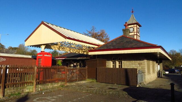
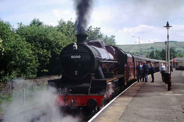
Clough Fold railway station
Clough Fold Railway Station served Cloughfold near Rawtenstall, Lancashire, England from 1871 until the line closed in 1966. == References == Lost Railways...

Rossendale Valley
The Rossendale Valley is in the Rossendale area of Lancashire, England, between the West Pennine Moors and the main range of the Pennines. The area includes...
Nearby Amenities
Located within 500m of 53.701819,-2.2679915Have you been to Higher Cloughfold?
Leave your review of Higher Cloughfold below (or comments, questions and feedback).