Haydon Hill

Settlement in Buckinghamshire

England

Haydon Hill

Petrol station on Haydon Road, Aylesbury Sadly low prices are now £1.33 a litre. A year ago it was £1.10
Petrol station on Haydon Road, Aylesbury Credit: David Howard

Haydon Hill is a residential area located in the county of Buckinghamshire, England. Situated just to the east of the town of Aylesbury, Haydon Hill is a popular place for families and professionals looking for a peaceful and well-connected community.

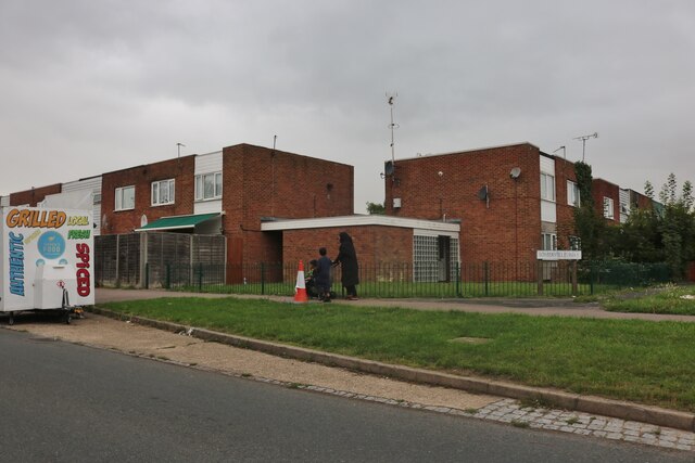
The area is characterized by its diverse housing options, including detached houses, semi-detached properties, and modern apartments. Many of the homes in Haydon Hill boast spacious gardens and ample parking space. The neighborhood is well-maintained, with tree-lined streets and well-kept parks and green spaces.

Haydon Hill benefits from its close proximity to Aylesbury town center, which is just a short distance away. This provides residents with easy access to a wide range of amenities, including supermarkets, shops, restaurants, and leisure facilities. The area is also home to several schools, making it an attractive choice for families with children.

Transport links in Haydon Hill are excellent. The A41 road runs nearby, connecting the area to larger towns and cities such as Hemel Hempstead and High Wycombe. Aylesbury train station is also close by, offering regular services to London and other major destinations.

For those seeking outdoor activities, Haydon Hill is surrounded by beautiful countryside, with many walking and cycling routes in the nearby Chiltern Hills. The area also benefits from several parks and recreational areas, providing opportunities for sports and leisure activities.

Overall, Haydon Hill is a desirable residential area in Buckinghamshire, offering a mix of peaceful surroundings, convenient amenities, and excellent transport links.

If you have any feedback on the listing, please let us know in the comments section below.
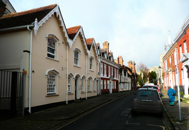
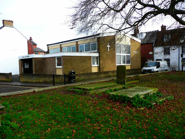
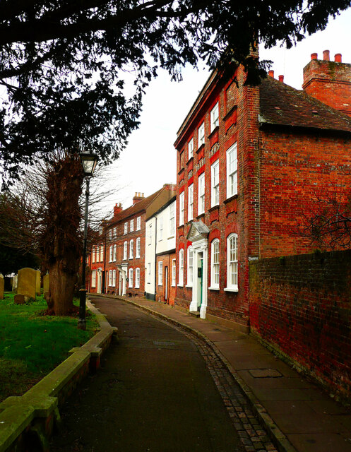
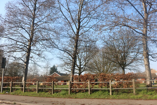
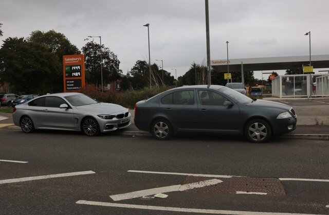
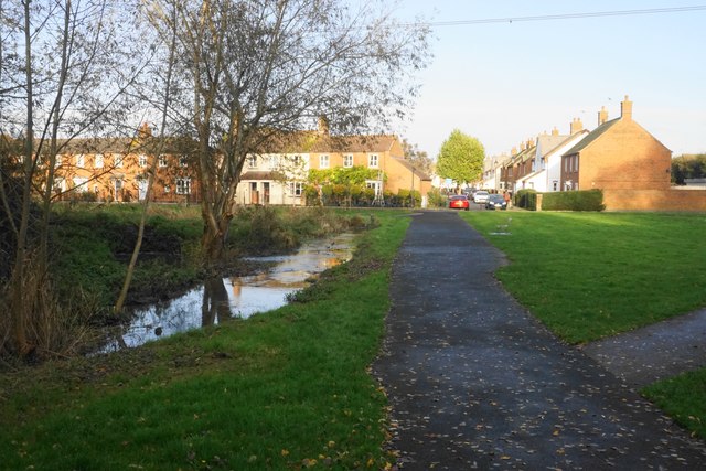
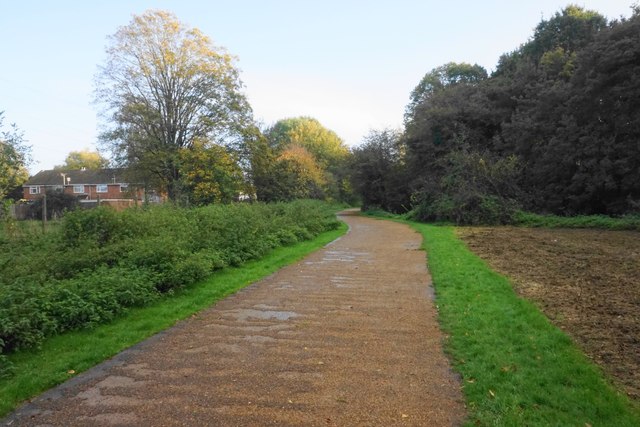
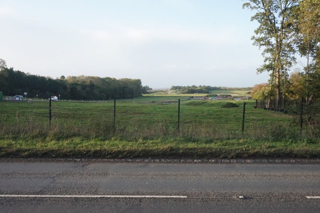
Haydon Hill Images

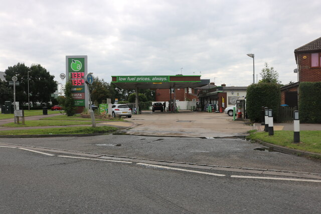
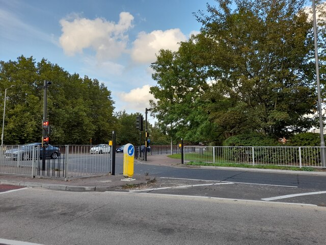
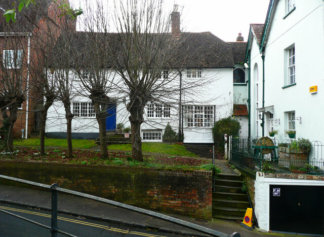
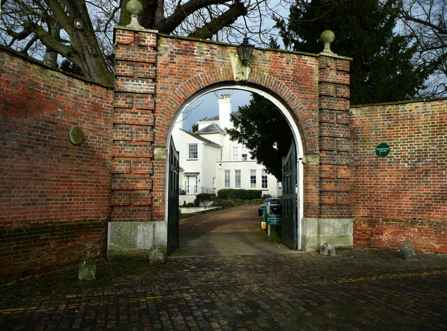
Images are sourced within 2km of 51.824379/-0.84189663 or Grid Reference SP7914. Thanks to Geograph Open Source API. All images are credited.

Petrol station on Haydon Road, Aylesbury Sadly low prices are now £1.33 a litre. A year ago it was £1.10
Petrol station on Haydon Road, Aylesbury
Sadly low prices are now £1.33 a litre. A year ago it was £1.10
Churchill Avenue at the junction of Oxford Road
Houses facing a triangle, Castle Street, Aylesbury
Arched entrance to Prebendal House This gateway is listed, Grade II.
Arched entrance to Prebendal House
This gateway is listed, Grade II.
Church Street, Aylesbury There are many listed buildings on this street. On the left  a 15C house refronted in the early 19C with fancy bargeboards, Grade II. Next is a 15C to 16C house with an 18C front and 19C dormers, listed Grade II star, then a 16C house refronted in the 18C but still showing the timber framing, Grade II.
Church Street, Aylesbury
There are many listed buildings on this street. On the left a 15C house refronted in the early 19C with fancy bargeboards, Grade II. Next is a 15C to 16C house with an 18C front and 19C dormers, listed Grade II star, then a 16C house refronted in the 18C but still showing the timber framing, Grade II.
Pebble Lane, Aylesbury A rather pedantic application of double yellow lines.
Pebble Lane, Aylesbury
A rather pedantic application of double yellow lines.
Granville Street Church An independent evangelical family church.
Granville Street Church
An independent evangelical family church.
St Mary's Square, Aylesbury The nearest building is the Derby Arms, which has an 18C front to an older building and is listed, Grade II star. It is no longer a pub.
St Mary's Square, Aylesbury
The nearest building is the Derby Arms, which has an 18C front to an older building and is listed, Grade II star. It is no longer a pub.
Bungalows on Elmhurst Road, Aylesbury
Lloyds Bank, Gatehouse Road, Aylesbury Situated in Gatehouse Road HP19 8ED, this branch is due for closure on Tuesday 26th July 2022. It is one of twenty four such branches that will be closed permanently between June and September 2022.
Lloyds Bank, Gatehouse Road, Aylesbury
Situated in Gatehouse Road HP19 8ED, this branch is due for closure on Tuesday 26th July 2022. It is one of twenty four such branches that will be closed permanently between June and September 2022.
Closure Notice at Lloyds Bank, Gatehouse Road, Aylesbury This photo shows the closure notice in the front window of the Lloyds Bank branch in Gatehouse Road. It has the following wording:

                     We're closing
                   this branch soon
               
            Please come in and talk to us.

           We're here to help and support you
          before and after this branch closes.

         This branch will close on 26 July 2022.

         We can help you at any branch, including:
          1 Market Square, Aylesbury HP20 1TD
           13-14 Cornmarket, Thame OX9 2BN
Closure Notice at Lloyds Bank, Gatehouse Road, Aylesbury
This photo shows the closure notice in the front window of the Lloyds Bank branch in Gatehouse Road. It has the following wording: We're closing this branch soon Please come in and talk to us. We're here to help and support you before and after this branch closes. This branch will close on 26 July 2022. We can help you at any branch, including: 1 Market Square, Aylesbury HP20 1TD 13-14 Cornmarket, Thame OX9 2BN
Fowler Road, Aylesbury
Green by Fowler Road, Aylesbury The aerial has been there less than two years.
Green by Fowler Road, Aylesbury
The aerial has been there less than two years.
Honda on Gatehouse Road, Aylesbury
New Sainsbury's on Gatehouse Road, Aylesbury This was a vacant lot for over 15 years till Sainsbury's built here about a year ago.
New Sainsbury's on Gatehouse Road, Aylesbury
This was a vacant lot for over 15 years till Sainsbury's built here about a year ago.
Brook and path in Fairford Leys The brook is a tributary of Bear Brook and the River Thame.
Brook and path in Fairford Leys
The brook is a tributary of Bear Brook and the River Thame.
Pearl Way A cycle route in Fairford Leys, a suburb of Aylesbury.
Pearl Way
A cycle route in Fairford Leys, a suburb of Aylesbury.
The future route of HS2 past Aylesbury Looking north from the existing course of the A418.
The future route of HS2 past Aylesbury
Looking north from the existing course of the A418.
Show me another place!

Haydon Hill is located at Grid Ref: SP7914 (Lat: 51.824379, Lng: -0.84189663)

Unitary Authority: Buckinghamshire

Police Authority: Thames Valley

What 3 Words

///like.panel.loves. Near Aylesbury, Buckinghamshire

Nearby Locations

Haydon Hill

Related Wikis

Haydon Hill

Haydon Hill is part of the town of Aylesbury, England. The neighbourhood is to the north of Aylesbury, Buckinghamshire. It occupies the area to the north...

Aylesbury Vale Dynamos F.C.

Aylesbury Vale Dynamos Football Club is a football club based in Aylesbury, Buckinghamshire, England. They are currently members of the Spartan South Midlands...

Quarrendon Estate

Quarrendon is a large housing estate on the north west side of Aylesbury (where the 2011 census population was included) in Buckinghamshire, England....

The PACE Centre

The PACE Centre is a UK-registered charity and special school based in Aylesbury, Buckinghamshire, UK. It helps children and young people with motor disorders...

Nearby Amenities

Located within 500m of 51.824379,-0.84189663
Mini Roundabout
Direction: clockwise
Lat/Long: 51.8225907/-0.8455213
Traffic Calming: hump
Lat/Long: 51.8278775/-0.8374807
Post Box
Brand: Royal Mail
Brand Wikidata: Q638098
Brand Wikipedia: en:Royal Mail
Collection Times: Mo-Fr 17:15; Sa 12:00
Operator: Royal Mail
Operator Wikidata: Q638098
Post Box Type: lamp
Ref: HP19 10
Royal Cypher: EIIR
Royal Cypher Wikidata: Q33102113
Source: survey
Survey Date: 2015-05-16
Lat/Long: 51.8280563/-0.839297
Mini Roundabout
Lat/Long: 51.8258724/-0.8390507
Power: tower
Lat/Long: 51.8260627/-0.8464814
Power: tower
Lat/Long: 51.8239543/-0.8436567
Post Box
Brand: Royal Mail
Brand Wikidata: Q638098
Brand Wikipedia: en:Royal Mail
Collection Times: Mo-Fr 17:15; Sa 12:00
Operator: Royal Mail
Operator Wikidata: Q638098
Post Box Type: lamp
Ref: HP19 7
Royal Cypher: EIIR
Royal Cypher Wikidata: Q33102113
Source: survey
Survey Date: 2015-05-16
Lat/Long: 51.8254299/-0.8375766
Haydon Hill
Is In: Aylesbury
Place: suburb
Wikidata: Q5686516
Wikipedia: en:Haydon Hill
Lat/Long: 51.8258802/-0.8450157
Power: tower
Lat/Long: 51.8218081/-0.8419868
Traffic Signals
Traffic Signals: signal
Traffic Signals Direction: forward
Lat/Long: 51.8277764/-0.843743
Post Office
Meadowcroft Post Office
Addr City: Aylesbury
Addr Country: GB
Addr Housenumber: 302
Addr Postcode: HP19 9HZ
Addr Street: Meadowcroft
Brand: Post Office
Brand Wikidata: Q1783168
Operator: One Stop
Ref Pol Id: 747
Source: survey
Survey Date: 2015-05-16
Website: https://www.postoffice.co.uk/branch-finder/0791024/meadowcroft
Lat/Long: 51.8260475/-0.8353795
Crossing
Crossing: unmarked
Crossing Island: yes
Crossing Markings: no
Tactile Paving: yes
Lat/Long: 51.8225436/-0.8456951
Traffic Calming: hump
Lat/Long: 51.8281647/-0.8406437
Post Box
Brand: Royal Mail
Brand Wikidata: Q638098
Brand Wikipedia: en:Royal Mail
Collection Times: Mo-Fr 17:00; Sa 12:00
Note: Outside front of store.
Operator: Royal Mail
Operator Wikidata: Q638098
Post Box Type: pillar
Ref: HP19 17
Royal Cypher: EIIR
Royal Cypher Wikidata: Q33102113
Source: survey
Survey Date: 2015-05-16
Lat/Long: 51.82191/-0.8372903
Post Box
Brand: Royal Mail
Brand Wikidata: Q638098
Brand Wikipedia: en:Royal Mail
Collection Times: Mo-Fr 18:30
Operator: Royal Mail
Operator Wikidata: Q638098
Post Box Type: meter
Ref: HP19 70
Royal Cypher: EIIR
Royal Cypher Wikidata: Q33102113
Source: survey
Survey Date: 2015-05-16
Lat/Long: 51.8247556/-0.8410077
Post Box
Brand: Royal Mail
Brand Wikidata: Q638098
Brand Wikipedia: en:Royal Mail
Collection Times: Mo-Fr 17:15; Sa 12:00
Operator: Royal Mail
Operator Wikidata: Q638098
Post Box Type: pillar
Ref: HP19 30
Royal Cypher: EIIR
Royal Cypher Wikidata: Q33102113
Source: survey
Survey Date: 2015-05-16
Lat/Long: 51.8259793/-0.8351295
Post Box
Brand: Royal Mail
Brand Wikidata: Q638098
Brand Wikipedia: en:Royal Mail
Collection Times: Mo-Fr 17:15; Sa 12:00
Operator: Royal Mail
Operator Wikidata: Q638098
Post Box Type: pillar
Ref: HP19 8
Royal Cypher: EIIR
Royal Cypher Wikidata: Q33102113
Source: survey
Survey Date: 2015-05-16
Lat/Long: 51.8265137/-0.8460011
Traffic Signals
Traffic Signals: signal
Traffic Signals Direction: forward
Lat/Long: 51.8278045/-0.8442246
Crossing
Lat/Long: 51.8204558/-0.841485
Turning Circle
Lat/Long: 51.8207093/-0.8426491
Direction: 195
Generator Method: photovoltaic
Generator Output Electricity: yes
Generator Solar Modules: 10
Generator Source: solar
Generator Type: solar_photovoltaic_panel
Location: roof
Power: generator
Lat/Long: 51.8246642/-0.8396361
Direction: 195
Generator Method: photovoltaic
Generator Output Electricity: yes
Generator Solar Modules: 14
Generator Source: solar
Generator Type: solar_photovoltaic_panel
Location: roof
Power: generator
Lat/Long: 51.8246456/-0.8395563
Direction: 190
Generator Method: photovoltaic
Generator Output Electricity: yes
Generator Solar Modules: 13
Generator Source: solar
Generator Type: solar_photovoltaic_panel
Location: roof
Power: generator
Lat/Long: 51.8252414/-0.8444326
Direction: 100
Generator Method: photovoltaic
Generator Output Electricity: yes
Generator Solar Modules: 9
Generator Source: solar
Generator Type: solar_photovoltaic_panel
Location: roof
Power: generator
Lat/Long: 51.8252598/-0.8440783
Direction: 100
Generator Method: photovoltaic
Generator Output Electricity: yes
Generator Solar Modules: 6
Generator Source: solar
Generator Type: solar_photovoltaic_panel
Location: roof
Power: generator
Lat/Long: 51.8253036/-0.8440616
Direction: 125
Generator Method: photovoltaic
Generator Output Electricity: yes
Generator Solar Modules: 12
Generator Source: solar
Generator Type: solar_photovoltaic_panel
Location: roof
Power: generator
Lat/Long: 51.8267309/-0.8376323
Direction: 125
Generator Method: photovoltaic
Generator Output Electricity: yes
Generator Solar Modules: 9
Generator Source: solar
Generator Type: solar_photovoltaic_panel
Location: roof
Power: generator
Lat/Long: 51.8270771/-0.8378202
Direction: 145
Generator Method: photovoltaic
Generator Output Electricity: yes
Generator Solar Modules: 12
Generator Source: solar
Generator Type: solar_photovoltaic_panel
Location: roof
Power: generator
Lat/Long: 51.8257522/-0.8424141
Direction: 145
Generator Method: photovoltaic
Generator Output Electricity: yes
Generator Solar Modules: 16
Generator Source: solar
Generator Type: solar_photovoltaic_panel
Location: roof
Power: generator
Lat/Long: 51.8264191/-0.843889
Direction: 125
Generator Method: photovoltaic
Generator Output Electricity: yes
Generator Solar Modules: 5
Generator Source: solar
Generator Type: solar_photovoltaic_panel
Location: roof
Power: generator
Tilt Angle: 0
Lat/Long: 51.8267229/-0.8375891
Direction: 145
Generator Method: photovoltaic
Generator Output Electricity: yes
Generator Solar Modules: 10
Generator Source: solar
Generator Type: solar_photovoltaic_panel
Location: roof
Power: generator
Lat/Long: 51.8248941/-0.8421795
Direction: 145
Generator Method: photovoltaic
Generator Output Electricity: yes
Generator Solar Modules: 13
Generator Source: solar
Generator Type: solar_photovoltaic_panel
Location: roof
Power: generator
Lat/Long: 51.8242123/-0.8426962
Direction: 235
Generator Method: photovoltaic
Generator Output Electricity: yes
Generator Solar Modules: 16
Generator Source: solar
Generator Type: solar_photovoltaic_panel
Location: roof
Power: generator
Lat/Long: 51.8272861/-0.847263
Direction: 235
Generator Method: photovoltaic
Generator Output Electricity: yes
Generator Solar Modules: 16
Generator Source: solar
Generator Type: solar_photovoltaic_panel
Location: roof
Power: generator
Lat/Long: 51.8270144/-0.8473838
Direction: 145
Generator Method: photovoltaic
Generator Output Electricity: yes
Generator Solar Modules: 16
Generator Source: solar
Generator Type: solar_photovoltaic_panel
Location: roof
Power: generator
Lat/Long: 51.827479/-0.8467484
Direction: 235
Generator Method: photovoltaic
Generator Output Electricity: yes
Generator Solar Modules: 12
Generator Source: solar
Generator Type: solar_photovoltaic_panel
Location: roof
Power: generator
Lat/Long: 51.8265808/-0.8481626
Direction: 145
Generator Method: photovoltaic
Generator Output Electricity: yes
Generator Solar Modules: 16
Generator Source: solar
Generator Type: solar_photovoltaic_panel
Location: roof
Power: generator
Lat/Long: 51.8275732/-0.8458492
Direction: 125
Generator Method: photovoltaic
Generator Output Electricity: yes
Generator Solar Modules: 8
Generator Source: solar
Generator Type: solar_photovoltaic_panel
Location: roof
Power: generator
Lat/Long: 51.8270548/-0.8373376
Direction: 215
Generator Method: photovoltaic
Generator Output Electricity: yes
Generator Solar Modules: 12
Generator Source: solar
Generator Type: solar_photovoltaic_panel
Location: roof
Power: generator
Lat/Long: 51.8246427/-0.8455576
Direction: 145
Generator Method: photovoltaic
Generator Output Electricity: yes
Generator Solar Modules: 6
Generator Source: solar
Generator Type: solar_photovoltaic_panel
Location: roof
Power: generator
Lat/Long: 51.8276958/-0.8454905
Direction: SSW
Generator Method: photovoltaic
Generator Output Electricity: yes
Generator Solar Modules: 18
Generator Source: solar
Generator Type: solar_photovoltaic_panel
Location: roof
Power: generator
Lat/Long: 51.8274866/-0.8403998
Direction: 125
Generator Method: photovoltaic
Generator Output Electricity: yes
Generator Solar Modules: 10
Generator Source: solar
Generator Type: solar_photovoltaic_panel
Location: roof
Power: generator
Lat/Long: 51.8276748/-0.8417118
Direction: 145
Generator Method: photovoltaic
Generator Output Electricity: yes
Generator Solar Modules: 10
Generator Source: solar
Generator Type: solar_photovoltaic_panel
Location: roof
Power: generator
Lat/Long: 51.8276664/-0.8455402
Traffic Calming: hump
Lat/Long: 51.8259344/-0.8351012
Traffic Calming: hump
Lat/Long: 51.8254726/-0.8355527
Entrance: main
Lat/Long: 51.8282288/-0.8426747
Entrance: main
Lat/Long: 51.8280524/-0.8434093
Entrance: main
Lat/Long: 51.8277052/-0.842897
Entrance: main
Lat/Long: 51.8275865/-0.8430051
Atm
Network: Link
Operator: Tesco Bank
Wheelchair: limited
Lat/Long: 51.8275188/-0.8430605
Bus Stop
Bus: yes
Public Transport: platform
Shelter: yes
Lat/Long: 51.825411/-0.8366373
Bus Stop
Bus: yes
Naptan AtcoCode: 040000004716
Naptan NaptanCode: bucgagwd
Public Transport: platform
Lat/Long: 51.8254127/-0.8372529
Bus Stop
Bus: yes
Public Transport: platform
Shelter: yes
Lat/Long: 51.8284318/-0.8430625
Bus Stop
Bus: yes
Naptan AtcoCode: 040000004739
Naptan NaptanCode: bucgajgm
Public Transport: platform
Shelter: yes
Lat/Long: 51.8285499/-0.8431336
Bus Stop
Bus: yes
Public Transport: platform
Shelter: yes
Lat/Long: 51.8260609/-0.8398499
Bus Stop
Bus: yes
Passenger Information Display: yes
Public Transport: platform
Shelter: yes
Lat/Long: 51.8261852/-0.8398144
Leisure: playground
Lat/Long: 51.8264604/-0.8391908
Barrier: cycle_barrier
Lat/Long: 51.8259794/-0.8389253
Entrance: main
Lat/Long: 51.8219112/-0.8372357
Entrance: main
Lat/Long: 51.823807/-0.8351602
Entrance: main
Lat/Long: 51.8238619/-0.8356381
Entrance: main
Lat/Long: 51.8239425/-0.8359022
Entrance: main
Lat/Long: 51.8240395/-0.8362194
Entrance: main
Lat/Long: 51.8241569/-0.8366066
Entrance: main
Lat/Long: 51.8242758/-0.8370005
Entrance: main
Lat/Long: 51.8243933/-0.8373668
Traffic Calming: hump
Lat/Long: 51.8279706/-0.8388239
Traffic Calming: hump
Lat/Long: 51.828624/-0.8425915
Atm
Lat/Long: 51.8259609/-0.8352435
Crossing
Lat/Long: 51.8249664/-0.8358465
Direction: 200
Generator Method: photovoltaic
Generator Output Electricity: yes
Generator Solar Modules: 12
Generator Source: solar
Generator Type: solar_photovoltaic_panel
Location: roof
Power: generator
Lat/Long: 51.8249794/-0.8368681
Bus Stop
Bus: yes
Public Transport: platform
Shelter: yes
Lat/Long: 51.8266411/-0.845384
Direction: 280
Generator Method: photovoltaic
Generator Output Electricity: yes
Generator Solar Modules: 6
Generator Source: solar
Generator Type: solar_photovoltaic_panel
Location: roof
Power: generator
Lat/Long: 51.825314/-0.8441133
Direction: 215
Generator Method: photovoltaic
Generator Output Electricity: yes
Generator Solar Modules: 12
Generator Source: solar
Generator Type: solar_photovoltaic_panel
Location: roof
Power: generator
Lat/Long: 51.8243468/-0.8447922
Bus Stop
Bus: yes
Public Transport: platform
Lat/Long: 51.8221124/-0.8371194
Atm
Lat/Long: 51.8219288/-0.8373843
Atm
Lat/Long: 51.8219241/-0.8373634
Atm
Lat/Long: 51.8219184/-0.8373434
Bus Stop
Bus: yes
Naptan AtcoCode: 040000004728
Naptan NaptanCode: bucgajaw
Public Transport: platform
Shelter: no
Lat/Long: 51.8256183/-0.8447443
Barrier: entrance
Lat/Long: 51.8242352/-0.8424097
Waste Basket
Lat/Long: 51.8246883/-0.8416209
Bus Stop
Bus: yes
Public Transport: platform
Shelter: yes
Lat/Long: 51.8250339/-0.8420259
Barrier: entrance
Lat/Long: 51.8238156/-0.8432783
Direction: 145
Generator Method: photovoltaic
Generator Output Electricity: yes
Generator Solar Modules: 12
Generator Source: solar
Generator Type: solar_photovoltaic_panel
Location: roof
Power: generator
Lat/Long: 51.8260756/-0.8412685
Direction: 145
Generator Method: photovoltaic
Generator Output Electricity: yes
Generator Solar Modules: 10
Generator Source: solar
Generator Type: solar_photovoltaic_panel
Location: roof
Power: generator
Lat/Long: 51.8264016/-0.8418911
Crossing
Crossing: unmarked
Crossing Island: yes
Crossing Markings: no
Tactile Paving: yes
Lat/Long: 51.822687/-0.8454005
Crossing
Lat/Long: 51.8258029/-0.835162
Crossing
Lat/Long: 51.8282934/-0.8416036
Crossing
Lat/Long: 51.8283352/-0.843193
Crossing
Lat/Long: 51.8283411/-0.8433966
Crossing
Lat/Long: 51.8264571/-0.8454722
Crossing
Lat/Long: 51.8257328/-0.8438244
Crossing
Lat/Long: 51.8223176/-0.8369178
Traffic Signals
Traffic Signals: signal
Traffic Signals Direction: forward
Lat/Long: 51.828074/-0.8436797
Traffic Signals
Traffic Signals: signal
Traffic Signals Direction: forward
Lat/Long: 51.8281227/-0.8442026
Crossing
Crossing: uncontrolled
Crossing Markings: yes
Lat/Long: 51.8224029/-0.8461047
Crossing
Crossing: unmarked
Crossing Island: no
Crossing Markings: no
Tactile Paving: yes
Lat/Long: 51.8222497/-0.8467729
Crossing
Crossing: unmarked
Crossing Island: yes
Crossing Markings: no
Tactile Paving: yes
Lat/Long: 51.8225073/-0.8453989
The data included in this document is from www.openstreetmap.org. The data is made available under ODbL.

Have you been to Haydon Hill?

Leave your review of Haydon Hill below (or comments, questions and feedback).