Haydon

Settlement in Dorset

England

Haydon

Agricultural equipment dealer, Bagber
Agricultural equipment dealer, Bagber Credit: David Smith

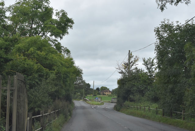
Haydon is a small village located in the county of Dorset, England. Situated in the picturesque Blackmore Vale, it lies approximately 3 miles northeast of the town of Sherborne. With a population of around 300 residents, Haydon exudes a charming rural character and offers a tranquil escape from the bustling city life.

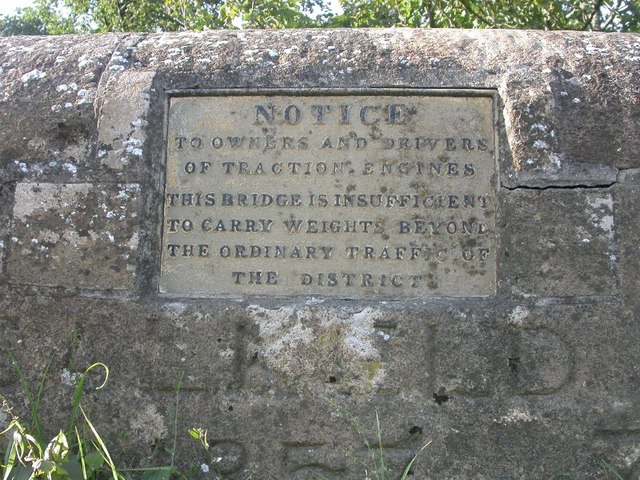
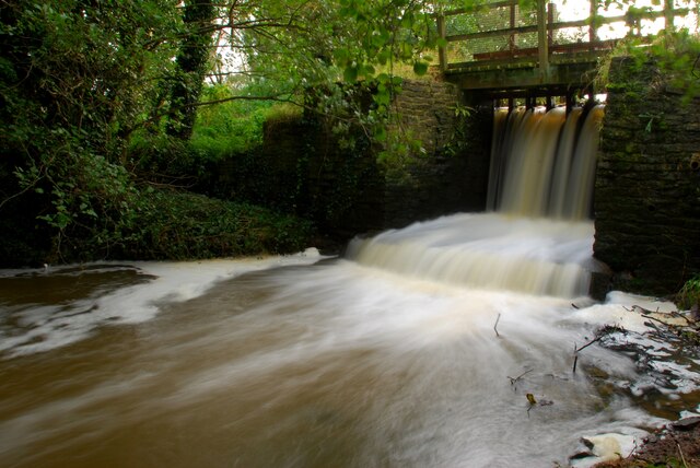
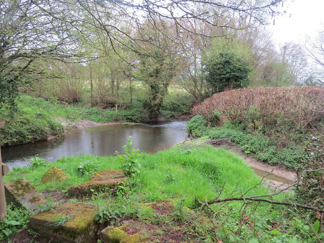
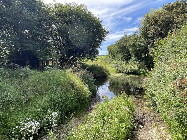
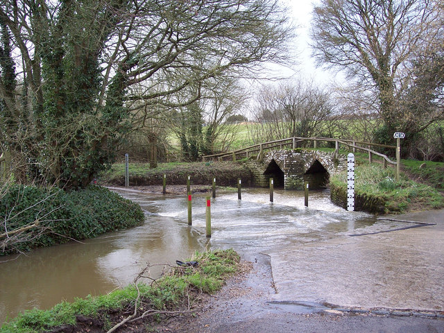
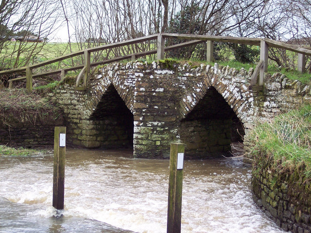
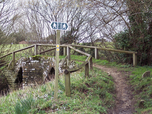
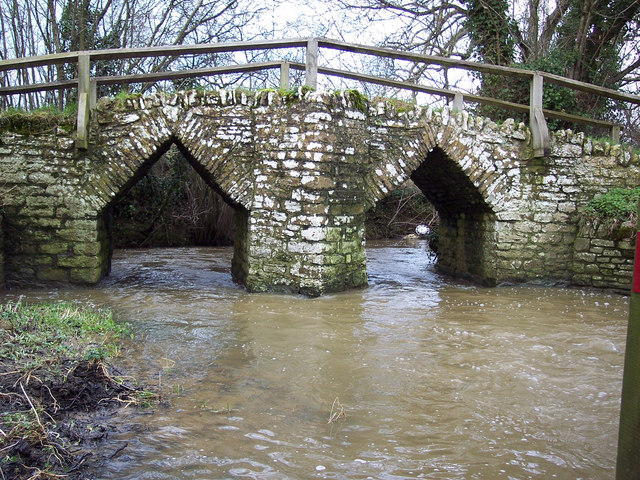
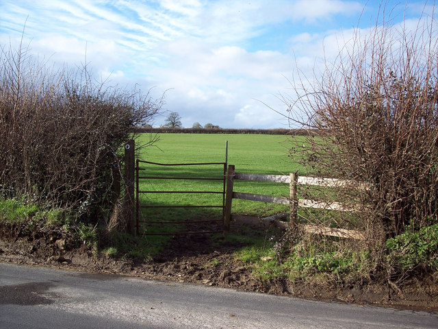
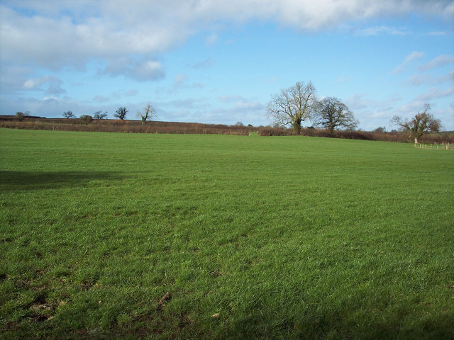
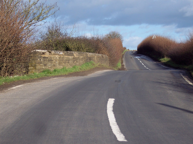
The village is characterized by its quintessential English countryside, with rolling green hills, meadows dotted with sheep, and a network of footpaths and bridleways that invite locals and visitors to explore the surrounding natural beauty. Haydon benefits from its proximity to the River Yeo, which flows nearby and provides opportunities for fishing and boating enthusiasts.

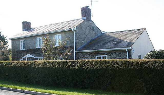
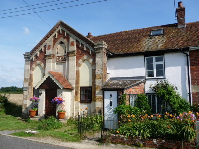
Despite its small size, Haydon boasts a strong sense of community and is home to a well-maintained village hall, where various social events and gatherings take place throughout the year. The village also has a historic church, St. Nicholas, which dates back to the 12th century and features stunning architectural details.

For amenities, residents of Haydon rely on nearby Sherborne, where they can find a range of shops, supermarkets, schools, and healthcare facilities. The village is well-connected to the surrounding area via road links, and the nearest railway station is located in Sherborne, providing convenient access to other parts of Dorset and beyond.

Haydon offers a peaceful and idyllic setting for those seeking a slower pace of life surrounded by natural beauty, while still benefiting from the amenities of a larger town nearby.

If you have any feedback on the listing, please let us know in the comments section below.
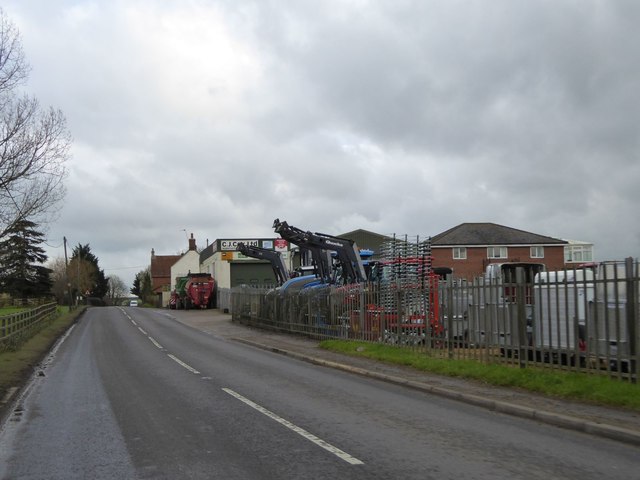
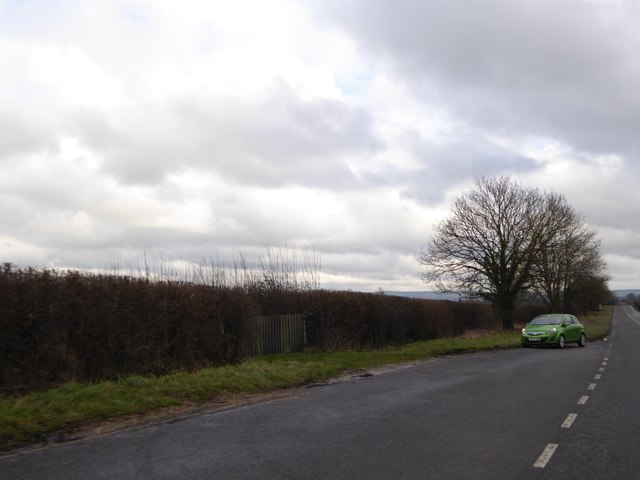
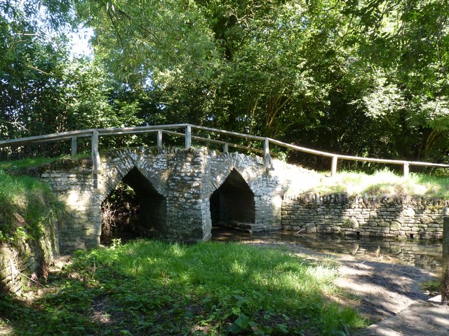
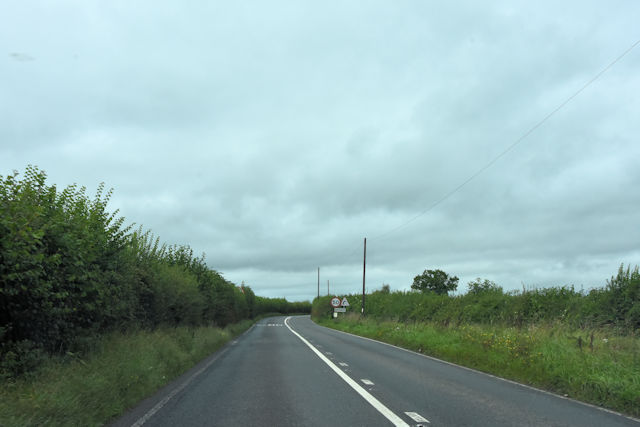
Haydon Images

Images are sourced within 2km of 50.905443/-2.3468919 or Grid Reference ST7511. Thanks to Geograph Open Source API. All images are credited.

Agricultural equipment dealer, Bagber
Lay-by on A357 west of Newton
Bridge over River Divelish, Fifehead Newton
Entering Bagber at Road Lane Farm
Approaching Two Fords Bridge
Old Bridge Marker on Salkeld Bridge, Lydlinch parish Bridge Weight Plate by the UC road, in parish of Lydlinch (West Dorset District), Salkeld Bridge, mid-bridge.

Inscription reads:-
NOTICE
TO OWNERS AND DRIVERS
OF TRACTION ENGINES
THIS BRIDGE IS INSUFFICIENT
TO CARRY WEIGHTS BEYOND
THE ORDINARY TRAFFIC OF
THE DISTRICT 

Surveyed

Milestone Society National ID: DO_WEISALbr
Old Bridge Marker on Salkeld Bridge, Lydlinch parish
Bridge Weight Plate by the UC road, in parish of Lydlinch (West Dorset District), Salkeld Bridge, mid-bridge. Inscription reads:- NOTICE TO OWNERS AND DRIVERS OF TRACTION ENGINES THIS BRIDGE IS INSUFFICIENT TO CARRY WEIGHTS BEYOND THE ORDINARY TRAFFIC OF THE DISTRICT Surveyed Milestone Society National ID: DO_WEISALbr
Bagber Common Toll House by the A357, Chapel Road Toll House by the A357, in the parish of Lydlinch (North Dorset District), Toll House, Chapel Road, Bagber, DT10 2HS.

Surveyed

Milestone Society National ID: DO.LYD
Bagber Common Toll House by the A357, Chapel Road
Toll House by the A357, in the parish of Lydlinch (North Dorset District), Toll House, Chapel Road, Bagber, DT10 2HS. Surveyed Milestone Society National ID: DO.LYD
Sluice gates for mill pond Mill no longer in use
Sluice gates for mill pond
Mill no longer in use
Puxey Farm Ford This ford on the River Divelish is found near Puxey Farm. The photograph was taken by Gwenda Yeomans who advises me that the route of the ford is mentioned in Ron Good's "Old Roads of Dorset". It is on the route of the Hardy Way. A photograph of the ford itself can be found in his archive at the Dorset History Centre.
Puxey Farm Ford
This ford on the River Divelish is found near Puxey Farm. The photograph was taken by Gwenda Yeomans who advises me that the route of the ford is mentioned in Ron Good's "Old Roads of Dorset". It is on the route of the Hardy Way. A photograph of the ford itself can be found in his archive at the Dorset History Centre.
Ford at Puxey Farm This is another image of the ford on the River Divelish at Puxey Farm.
Ford at Puxey Farm
This is another image of the ford on the River Divelish at Puxey Farm.
Ford, Fifehead Neville Ford through the River Divelish with the Medieval packhorse bridge to the right.
Ford, Fifehead Neville
Ford through the River Divelish with the Medieval packhorse bridge to the right.
Footbridge over the River Divelish
Packhorse bridge and signs near Fifehead Neville The bridge is Medieval and takes walkers over the River Divelish.
Packhorse bridge and signs near Fifehead Neville
The bridge is Medieval and takes walkers over the River Divelish.
Packhorse bridge,  River Divelish Medieval packhorse bridge over the River Divelish.
Packhorse bridge, River Divelish
Medieval packhorse bridge over the River Divelish.
Bridleway, Fifehead Neville The bridleway takes riders and walkers to Plumber Manor and onwards to Fifehead Common.
Bridleway, Fifehead Neville
The bridleway takes riders and walkers to Plumber Manor and onwards to Fifehead Common.
Bridleway gate near Salkeld Bridge
Bridleway to Puxey Farm from Salkeld Bridge
Salkeld Bridge over the River Divelish
Show me another place!

Haydon is located at Grid Ref: ST7511 (Lat: 50.905443, Lng: -2.3468919)

Unitary Authority: Dorset

Police Authority: Dorset

What 3 Words

///mushroom.carbonate.suitcase. Near Sturminster Newton, Dorset

Related Wikis

Fifehead Neville

Fifehead Neville is a village and civil parish in the county of Dorset in southern England, situated in the Blackmore Vale about two miles (three kilometres...

Bagber

Bagber is a hamlet in the county of Dorset in southern England, situated about 2 miles (3.2 km) west and northwest of Sturminster Newton in the Dorset...

Lydlinch

Lydlinch is a village and civil parish in the Blackmore Vale in north Dorset, England, about three miles (five kilometres) west of Sturminster Newton....

Caundle Brook

Caundle Brook is a 13.4 miles (21.6 km) tributary of the River Lydden that flows through Blackmore Vale in Dorset, England.Its headwaters rise at the foot...

Hazelbury Bryan

Hazelbury Bryan is a village and civil parish in the county of Dorset in southern England. It is situated in the Blackmore Vale, approximately five miles...

Sturminster Newton Castle

Sturminster Newton Castle is a site consisting of the remains of a medieval manor house within an Iron Age hillfort, near Sturminster Newton in Dorset...

King's Stag Memorial Chapel

King's Stag Memorial Chapel is a Church of England chapel in King's Stag, Dorset, England. == History == The memorial chapel at King's Stag was built in...

Banbury Hill

Banbury Hillfort, or Banbury Hill Camp, is an Iron Age hillfort, about 1.25 miles (2.0 km) south of Sturminster Newton and 1 mile (1.6 km) north-west of...

Have you been to Haydon?

Leave your review of Haydon below (or comments, questions and feedback).