Downs Barn

Settlement in Buckinghamshire

England

Downs Barn

Bridge 81 (Grand Union Canal)  Bridge 81 carries pedestrian crossing over the canal
Bridge 81 (Grand Union Canal) Credit: Ryan Griffiths

Downs Barn is a small village located in the county of Buckinghamshire, England. Situated on the outskirts of Milton Keynes, it is part of the civil parish of Great Linford. The village is nestled in a picturesque countryside setting, surrounded by open fields and meadows.

The area is renowned for its natural beauty, with rolling hills and stunning views. The village itself is characterized by quaint cottages and traditional architecture, giving it a charming and idyllic atmosphere. It is a close-knit community, with a population of approximately 500 residents.

Downs Barn benefits from being in close proximity to various amenities and facilities. The nearby city of Milton Keynes offers a wide range of shopping centers, restaurants, and entertainment options. For those seeking outdoor activities, there are numerous parks, lakes, and nature reserves in the vicinity, providing opportunities for walking, cycling, and picnicking.

The village is also well-connected in terms of transportation. The nearby M1 motorway provides easy access to London and other major cities, while Milton Keynes Central railway station offers regular train services to various destinations.

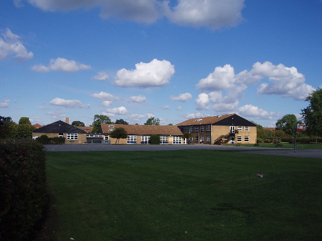
Downs Barn is served by several schools, making it an ideal location for families with children. The village also has a community center and a local pub, providing a hub for social activities and gatherings.

Overall, Downs Barn offers a peaceful and picturesque setting, combined with convenient access to modern amenities, making it an attractive place to live for those seeking a balance between rural tranquility and urban convenience.

If you have any feedback on the listing, please let us know in the comments section below.
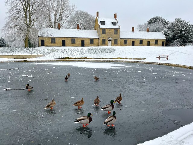
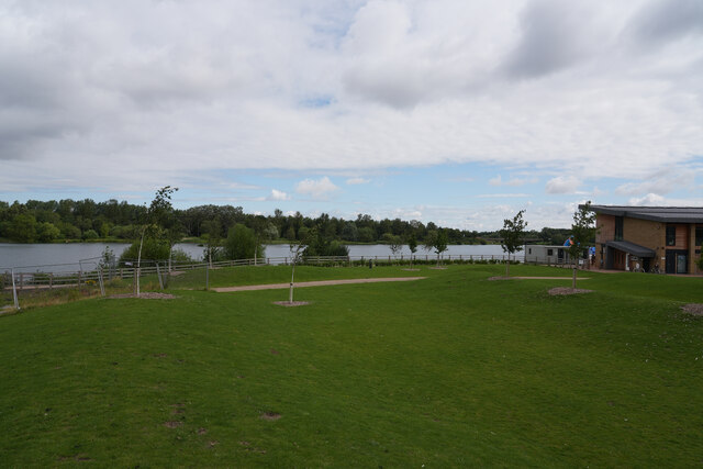
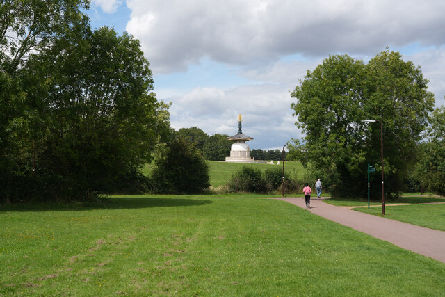
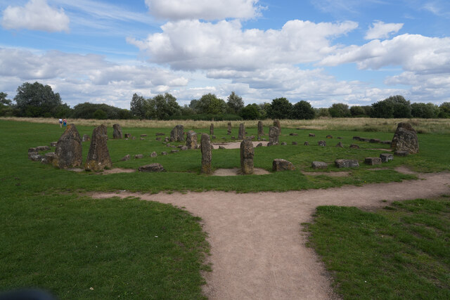
Downs Barn Images

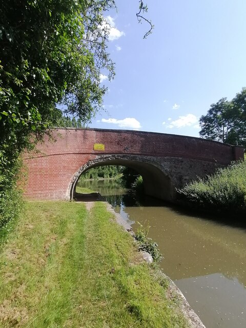
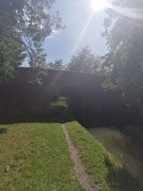
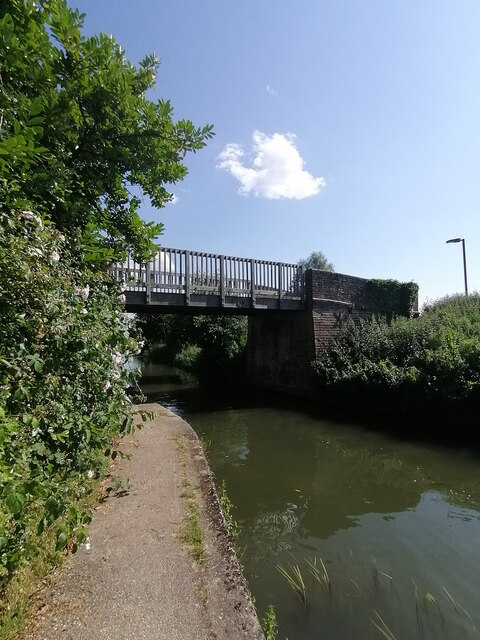
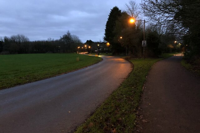
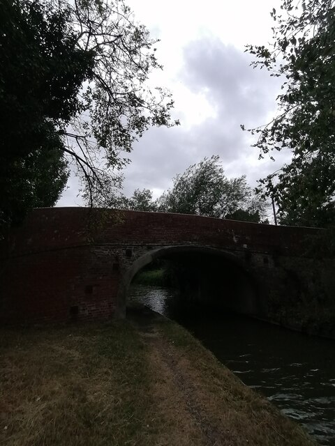
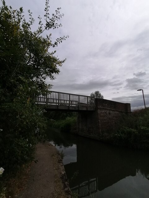
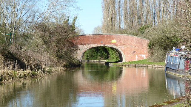
Images are sourced within 2km of 52.056347/-0.74807658 or Grid Reference SP8540. Thanks to Geograph Open Source API. All images are credited.

Bridge 81 (Grand Union Canal)  Bridge 81 carries pedestrian crossing over the canal
Bridge 81 (Grand Union Canal)
Bridge 81 carries pedestrian crossing over the canal
Bridge 79 (Grand Union Canal) Bridge 79 used to carry a minor road over the canal but now it's a pedestrian crossing.
Bridge 79 (Grand Union Canal)
Bridge 79 used to carry a minor road over the canal but now it's a pedestrian crossing.
Bridge 78 (Grand Union Canal) Bridge 78 carries the bridleway over the canal.
Bridge 78 (Grand Union Canal)
Bridge 78 carries the bridleway over the canal.
Marsh Drive in the evening murk
Grand Union Canal (Milton Keynes)  Grand Union Canal near Willen Milton Keynes facing towards bridge 81
Grand Union Canal (Milton Keynes)
Grand Union Canal near Willen Milton Keynes facing towards bridge 81
Willen Lane bridge 79 (Grand Union Canal) Bridge 79 carries a track over the canal towards Great Linford and the brick kilns.
Willen Lane bridge 79 (Grand Union Canal)
Bridge 79 carries a track over the canal towards Great Linford and the brick kilns.
Linford Bridge 78 (Grand Union Canal) Bridge 78 carries the bridal footpath over the canal towards Great Linford.
Linford Bridge 78 (Grand Union Canal)
Bridge 78 carries the bridal footpath over the canal towards Great Linford.
Grand Union Canal bridge 81 The bridge seems not to be in the best condition, with deep cracks evident in the parapet.
Grand Union Canal bridge 81
The bridge seems not to be in the best condition, with deep cracks evident in the parapet.
Brickhill Street, Milton Keynes
Almshouses and icy ducks in Great Linford Manor Park
Willen Lake This view is close to the water sports area, whose entrance building you can just see on the right of the image. Beyond in the lake is a range of floating structures for people to climb, slide down and generally enjoy. The one like it that we saw in Eire was great fun, but you had to wear a wetsuit to use the facility. No doubt it is the same here but we did not see anyone actually using it.
Willen Lake
This view is close to the water sports area, whose entrance building you can just see on the right of the image. Beyond in the lake is a range of floating structures for people to climb, slide down and generally enjoy. The one like it that we saw in Eire was great fun, but you had to wear a wetsuit to use the facility. No doubt it is the same here but we did not see anyone actually using it.
The Peace Pagoda A striking structure on the north west side of the Willen Lake complex.
The Peace Pagoda
A striking structure on the north west side of the Willen Lake complex.
The Circle of Hearts Medicine Wheel This is a mock stone circle near to the Peace Pagoda in the Willen Lake complex.
The Circle of Hearts Medicine Wheel
This is a mock stone circle near to the Peace Pagoda in the Willen Lake complex.
Danstead Way canal bridge
The Peace Pagoda, Milton Keynes Built in 1980 with 1,000 cherry blossom trees behind it in remembrance of the victims of all wars. They were donated by the ancient Japanese town of Yoshino, famous for the beauty of its cherry blossom.
The Peace Pagoda, Milton Keynes
Built in 1980 with 1,000 cherry blossom trees behind it in remembrance of the victims of all wars. They were donated by the ancient Japanese town of Yoshino, famous for the beauty of its cherry blossom.
Telecommunications Mast Near to Linford Wood in Milton Keynes
Telecommunications Mast
Near to Linford Wood in Milton Keynes
Footbridge over the canal in Great Linford
Great Linford Combined School
Show me another place!

Downs Barn is located at Grid Ref: SP8540 (Lat: 52.056347, Lng: -0.74807658)

Unitary Authority: Milton Keynes

Police Authority: Thames Valley

What 3 Words

///formation.silly.marbles. Near Milton Keynes, Buckinghamshire

Related Wikis

Pennyland project

The Pennyland project was one of a series of low-energy building experiments sparked by the 1973 oil crisis. It involved the construction of an estate...

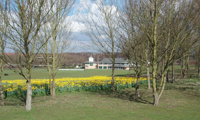
Campbell Park Cricket Ground

Campbell Park is a cricket ground in Milton Keynes, Buckinghamshire, located in Campbell Park. The first recorded match on the ground in 1981, when the...
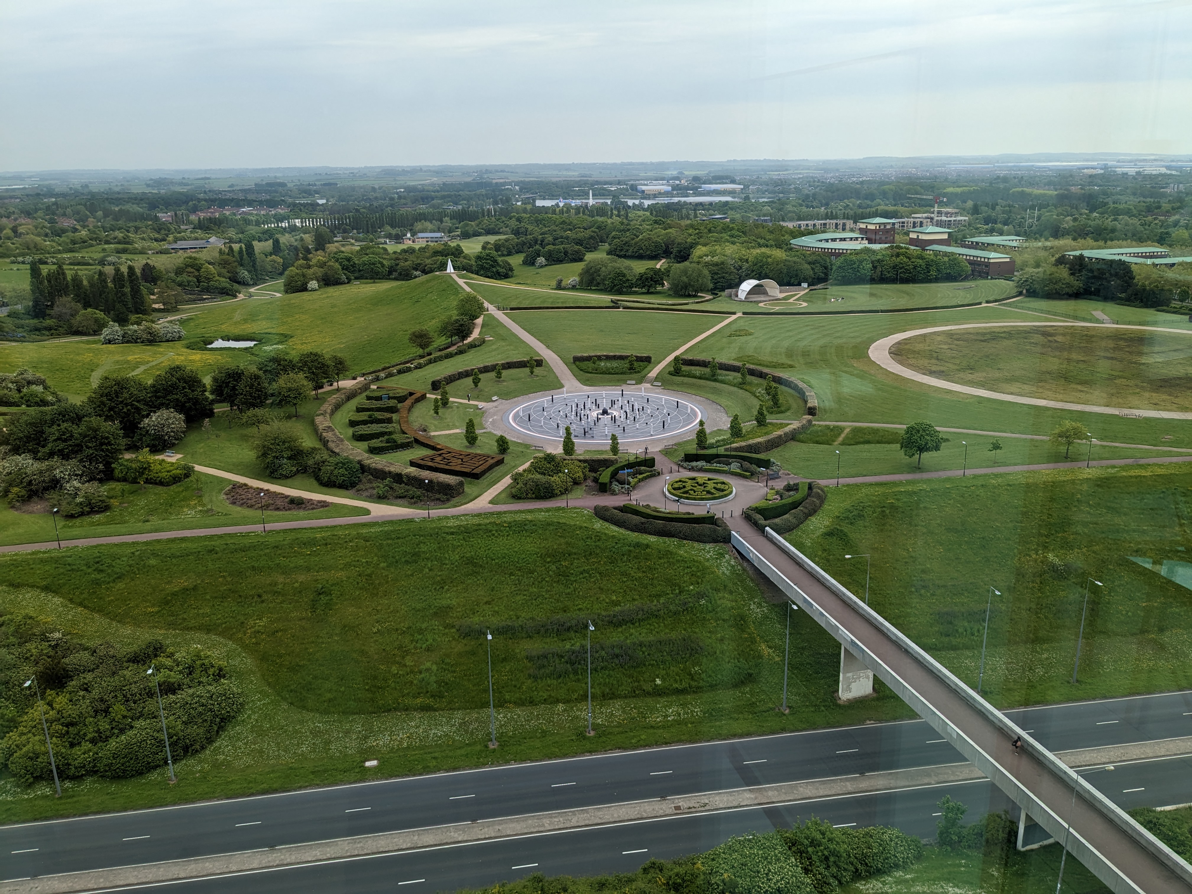
Campbell Park

Campbell Park is the name of the central park for Milton Keynes (England) and an electoral ward of the civil parish of Central Milton Keynes. (The nearby...
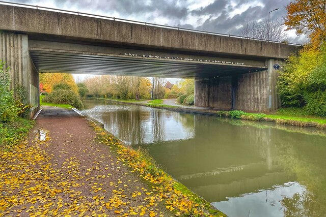
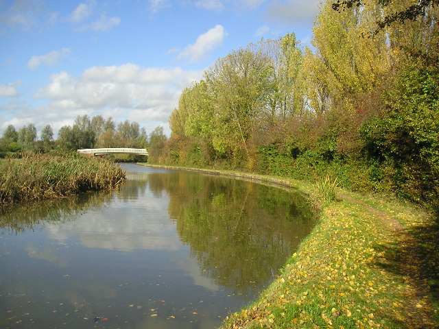
Grand Union Canal

The Grand Union Canal in England is part of the British canal system. It is the principal navigable waterway between London and the Midlands. Starting...

Nearby Amenities

Located within 500m of 52.056347,-0.74807658
Downs Barn
Place: suburb
Lat/Long: 52.0531506/-0.7471264
Neath Hill
Place: suburb
Lat/Long: 52.0594666/-0.7515058
Motorway Junction
Lat/Long: 52.0572265/-0.7543821
Turning Circle
Lat/Long: 52.0573274/-0.7449705
Turning Circle
Turning Circle: square
Lat/Long: 52.0568572/-0.7433092
Post Box
Brand: Royal Mail
Brand Wikidata: Q638098
Brand Wikipedia: en:Royal Mail
Collection Times: Mo-Fr 17:30; Sa 12:00
Operator: Royal Mail
Operator Wikidata: Q638098
Post Box Type: pillar
Ref: MK14 374
Royal Cypher: EIIR
Royal Cypher Wikidata: Q33102113
Source: survey
Lat/Long: 52.0564095/-0.7441001
Budgens
Addr City: Milton Keynes
Addr Country: GB
Addr Housenumber: 127
Addr Postcode: MK14 7QB
Addr Street: Downs Barn Boulevard
Addr Suburb: Downs Barn
Brand: Budgens
Brand Wikidata: Q4985016
Brand Wikipedia: en:Budgens
Fhrs Authority: Milton Keynes
Fhrs Id: 199218
Fhrs Local Authority Id: 63473
Shop: supermarket
Lat/Long: 52.0538922/-0.7477036
Post Box
Brand: Royal Mail
Brand Wikidata: Q638098
Brand Wikipedia: en:Royal Mail
Collection Times: Mo-Fr 17:30; Sa 12:00
Operator: Royal Mail
Operator Wikidata: Q638098
Post Box Type: lamp
Ref: MK14 496
Royal Cypher: EIIR
Royal Cypher Wikidata: Q33102113
Source: survey
Lat/Long: 52.0533657/-0.7469663
Turning Circle
Turning Circle: square
Lat/Long: 52.0538122/-0.7420549
Turning Circle
Turning Circle: square
Lat/Long: 52.0584364/-0.7531536
Turning Circle
Turning Circle: square
Lat/Long: 52.0579651/-0.7506315
Turning Circle
Turning Circle: square
Lat/Long: 52.0588634/-0.7518921
Turning Circle
Turning Circle: square
Lat/Long: 52.0584482/-0.7418642
Turning Circle
Turning Circle: square
Lat/Long: 52.0596942/-0.7441137
Crossing
Crossing Island: no
Traffic Calming: table
Lat/Long: 52.0587353/-0.7433809
Turning Circle
Turning Circle: square
Lat/Long: 52.0533729/-0.7457453
Bus Stop
Pennyland Local Centre
Alt Name: Neath Hill Local Centre
Bus: yes
Naptan AltCommonName: Neath Hill Local Centre
Naptan AltStreet: Not Specified
Naptan AtcoCode: 049003915633
Naptan Bearing: S
Naptan CommonName: Pennyland Local Centre
Naptan Indicator: opp Neath Hill Local Centre
Naptan Landmark: Neath Hill and Pennyland Medical Centres
Naptan NaptanCode: mltdptg
Naptan PlusbusZoneRef: MKNSCEN
Naptan Street: Overstreet V9
Naptan Verified: no
Public Transport: platform
Shelter: yes
Source: naptan_import
Lat/Long: 52.0603247/-0.7463611
Bus Stop
Downs Barn Roundabout South
Bus: yes
Naptan AtcoCode: 049004015507
Naptan Bearing: N
Naptan CommonName: Downs Barn Roundabout South
Naptan Indicator: Northbound
Naptan Landmark: N
Naptan NaptanCode: mltdtat
Naptan PlusbusZoneRef: MKNSCEN
Naptan Street: Marlborough Street V8
Naptan Verified: no
Public Transport: platform
Source: naptan_import
Lat/Long: 52.0538856/-0.7538003
Bus Stop
Downs Barn Roundabout South
Bus: yes
Naptan AtcoCode: 049004015508
Naptan Bearing: S
Naptan CommonName: Downs Barn Roundabout South
Naptan Indicator: Southbound
Naptan Landmark: N
Naptan NaptanCode: mltdtaw
Naptan PlusbusZoneRef: MKNSCEN
Naptan Street: Marlborough Street V8
Naptan Verified: no
Public Transport: platform
Shelter: yes
Source: naptan_import
Lat/Long: 52.0538651/-0.7534118
Bus Stop
Downs Barn Community Centre
Alt Name: Downhead Park Quaker Centre
Bus: yes
Naptan AltCommonName: Downhead Park Quaker Centre
Naptan AltStreet: Not Specified
Naptan AtcoCode: 049004035582
Naptan Bearing: NE
Naptan CommonName: Downs Barn Community Centre
Naptan Indicator: o/s
Naptan Landmark: Downs Barn Community Centre
Naptan NaptanCode: mltdtdg
Naptan PlusbusZoneRef: MKNSCEN
Naptan Street: Overstreet V9
Naptan Verified: no
Public Transport: platform
Shelter: yes
Source: naptan_import
Lat/Long: 52.055245/-0.741206
Bus Stop
Neath Hill Roundabout South
Bus: yes
Naptan AtcoCode: 049004035583
Naptan Bearing: NE
Naptan CommonName: Neath Hill Roundabout South
Naptan Indicator: Northbound
Naptan Landmark: Dansteed Way H4
Naptan NaptanCode: mltdtdj
Naptan PlusbusZoneRef: MKNSCEN
Naptan Street: Overstreet V9
Naptan Verified: no
Public Transport: platform
Shelter: yes
Source: naptan_import
Lat/Long: 52.0573407/-0.7434398
Bus Stop
Neath Hill Roundabout South
Bus: yes
Naptan AtcoCode: 049004035584
Naptan Bearing: SW
Naptan CommonName: Neath Hill Roundabout South
Naptan Indicator: Southbound
Naptan Landmark: Dansteed Way H4
Naptan NaptanCode: mltdtdm
Naptan PlusbusZoneRef: MKNSCEN
Naptan Street: Overstreet V9
Naptan Verified: no
Public Transport: platform
Shelter: yes
Source: naptan_import
Lat/Long: 52.0579152/-0.7439791
Bus Stop
Downs Barn Community Centre
Alt Name: Downhead Park Quaker Centre
Bus: yes
Naptan AltCommonName: Downhead Park Quaker Centre
Naptan AltStreet: Not Specified
Naptan AtcoCode: 049004035585
Naptan Bearing: SW
Naptan CommonName: Downs Barn Community Centre
Naptan Indicator: opp
Naptan Landmark: Downs Barn Community Centre
Naptan NaptanCode: mltdtdp
Naptan PlusbusZoneRef: MKNSCEN
Naptan Street: Overstreet V9
Naptan Verified: no
Public Transport: platform
Source: naptan_import
Lat/Long: 52.0560677/-0.7416919
Bus Stop
Neath Hill Roundabout East
Bus: yes
Naptan AtcoCode: 049004045674
Naptan Bearing: NE
Naptan CommonName: Neath Hill Roundabout East
Naptan Indicator: Eastbound
Naptan Landmark: N
Naptan NaptanCode: mltdtdt
Naptan PlusbusZoneRef: MKNSCEN
Naptan Street: Dansteed Way H4
Naptan Verified: no
Public Transport: platform
Source: naptan_import
Lat/Long: 52.0594689/-0.7436039
Bus Stop
Neath Hill Roundabout East
Bus: yes
Naptan AtcoCode: 049004045679
Naptan Bearing: SW
Naptan CommonName: Neath Hill Roundabout East
Naptan Indicator: westbound
Naptan Landmark: N
Naptan NaptanCode: mltdtdw
Naptan PlusbusZoneRef: MKNSCEN
Naptan Street: Dansteed Way H4
Naptan Verified: no
Public Transport: platform
Shelter: yes
Source: naptan_import
Lat/Long: 52.058953/-0.744317
Bus Stop
Neath Hill Roundabout West
Bus: yes
Naptan AtcoCode: 049010195634
Naptan Bearing: SW
Naptan CommonName: Neath Hill Roundabout West
Naptan Indicator: Westbound
Naptan Landmark: N
Naptan NaptanCode: mltgwad
Naptan PlusbusZoneRef: MKNSCEN
Naptan Street: Dansteed Way H4
Naptan Verified: no
Public Transport: platform
Source: naptan_import
Lat/Long: 52.057306/-0.7465142
Bus Stop
Downs Barn Roundabout East
Bus: yes
Naptan AtcoCode: 049010195635
Naptan Bearing: SW
Naptan CommonName: Downs Barn Roundabout East
Naptan Indicator: South Westbound
Naptan Landmark: N
Naptan NaptanCode: mltgwag
Naptan PlusbusZoneRef: MKNSCEN
Naptan Street: Dansteed Way H4
Naptan Verified: no
Public Transport: platform
Source: naptan_import
Lat/Long: 52.0553322/-0.7503033
Bus Stop
Downs Barn Roundabout East
Bus: yes
Naptan AtcoCode: 049010195636
Naptan Bearing: NE
Naptan CommonName: Downs Barn Roundabout East
Naptan Indicator: North Eastbound
Naptan Landmark: N
Naptan NaptanCode: mltgwaj
Naptan PlusbusZoneRef: MKNSCEN
Naptan Street: Dansteed Way H4
Naptan Verified: no
Public Transport: platform
Shelter: no
Source: naptan_import
Lat/Long: 52.0554738/-0.7502156
Bus Stop
Neath Hill Roundabout West
Bus: yes
Naptan AtcoCode: 049010195637
Naptan Bearing: NE
Naptan CommonName: Neath Hill Roundabout West
Naptan Indicator: Eastbound
Naptan Landmark: N
Naptan NaptanCode: mltgwam
Naptan PlusbusZoneRef: MKNSCEN
Naptan Street: Dansteed Way H4
Naptan Verified: no
Public Transport: platform
Shelter: no
Source: naptan_import
Lat/Long: 52.0578366/-0.7460018
Turning Circle
Turning Circle: hammer
Lat/Long: 52.0572298/-0.7499514
Turning Circle
Turning Circle: square
Lat/Long: 52.059243/-0.7477685
Crossing
Crossing Island: no
Traffic Calming: table
Lat/Long: 52.0598127/-0.7472337
Give Way
Direction: forward
Lat/Long: 52.0569125/-0.7541498
Fast Food
New China Garden
Addr City: Milton Keynes
Addr Country: GB
Addr Housenumber: 5
Addr Postcode: MK14 6JY
Addr Street: Tower Crescent
Addr Suburb: Neath Hill
Cuisine: chinese
Fhrs Authority: Milton Keynes
Fhrs Id: 111152
Fhrs Local Authority Id: 40669
Lat/Long: 52.060357/-0.7471027
Cisorium
Shop: hairdresser
Lat/Long: 52.060341/-0.7478689
Post Office
Neath Hill Post Office
Addr City: Milton Keynes
Addr Country: GB
Addr Housenumber: 3
Addr Postcode: MK14 6JY
Addr Street: Tower Crescent
Addr Suburb: Neath Hill
Ref Pol Id: 1908
Lat/Long: 52.0604926/-0.7473192
Pharmacy
Jardines Pharmacy
Addr City: Milton Keynes
Addr Country: GB
Addr Housenumber: 3
Addr Postcode: MK14 6JY
Addr Street: Tower Crescent
Addr Suburb: Neath Hill
Dispensing: yes
Fhrs Authority: Milton Keynes
Fhrs Id: 199020
Fhrs Local Authority Id: 2916
Healthcare: pharmacy
Lat/Long: 52.0604585/-0.7472557
Fast Food
Neath Hill Fish & Chips
Addr City: Milton Keynes
Addr Country: GB
Addr Housenumber: 17
Addr Postcode: MK14 6JY
Addr Street: Tower Crescent
Addr Suburb: Neath Hill
Cuisine: fish_and_chips
Fhrs Authority: Milton Keynes
Fhrs Id: 111141
Fhrs Local Authority Id: 40658
Lat/Long: 52.0606168/-0.7480113
Euro
Addr City: Milton Keynes
Addr Country: GB
Addr Housenumber: 4
Addr Postcode: MK14 6JY
Addr Street: Tower Crescent
Addr Suburb: Neath Hill
Fhrs Authority: Milton Keynes
Fhrs Id: 198861
Fhrs Local Authority Id: 40667
Shop: alcohol
Lat/Long: 52.0603991/-0.7471689
Post Box
Brand: Royal Mail
Brand Wikidata: Q638098
Brand Wikipedia: en:Royal Mail
Collection Times: Mo-Fr 17:30; Sa 12:00
Operator: Royal Mail
Operator Wikidata: Q638098
Post Box Type: pillar
Ref: MK14 471
Royal Cypher: EIIR
Royal Cypher Wikidata: Q33102113
Source: survey
Lat/Long: 52.0570249/-0.7525012
Traffic Calming: table
Lat/Long: 52.0597922/-0.7468482
Crossing
Crossing: unmarked
Crossing Island: no
Crossing Markings: no
Tactile Paving: yes
Lat/Long: 52.057228/-0.7452156
Turning Circle
Turning Circle: knuckle
Lat/Long: 52.0588556/-0.7431761
Crossing
Traffic Calming: table
Lat/Long: 52.0603717/-0.748181
Bicycle Rental
Santander Cycles MK D/S #8825
Capacity: 8
Operator: Santander Cycles MK
Lat/Long: 52.0605335/-0.7473575
Atm
Lat/Long: 52.0601622/-0.7470393
Smarts Dry Cleaning and Shoe Repairs
Shop: dry_cleaning
Lat/Long: 52.0602733/-0.7478262
Fast Food
Danyals Peri Peri
Addr City: Milton Keynes
Addr Country: GB
Addr Housenumber: 15
Addr Postcode: MK14 6JY
Addr Street: Tower Crescent
Addr Suburb: Neath Hill
Cuisine: peri_peri
Fhrs Authority: Milton Keynes
Fhrs Id: 485449
Fhrs Local Authority Id: 81801
Lat/Long: 52.0604497/-0.7479309
Vape Direct
Addr City: Milton Keynes
Addr Country: GB
Addr Housenumber: 10
Addr Postcode: MK14 6JY
Addr Street: Tower Crescent
Addr Suburb: Neath Hill
Fhrs Authority: Milton Keynes
Fhrs Id: 939361
Fhrs Local Authority Id: 87699
Shop: tobacco
Lat/Long: 52.0601892/-0.7477344
Manha Mini Market
Addr City: Milton Keynes
Addr Country: GB
Addr Housenumber: 16
Addr Postcode: MK14 6JY
Addr Street: Tower Crescent
Addr Suburb: Neath Hill
Fhrs Authority: Milton Keynes
Fhrs Id: 967096
Fhrs Local Authority Id: 25027
Shop: convenience
Lat/Long: 52.0605312/-0.7479728
BGBet.com
Shop: bookmaker
Lat/Long: 52.0607719/-0.7479456
Fast Food
Neath Hill Indian Takeaway
Addr City: Milton Keynes
Addr Country: GB
Addr Housenumber: 9
Addr Postcode: MK14 6JY
Addr Street: Tower Crescent
Addr Suburb: Neath Hill
Cuisine: indian
Fhrs Authority: Milton Keynes
Fhrs Id: 125279
Fhrs Local Authority Id: 53783
Phone: +44 1908 240872
Website: https://www.neathhillindian.co.uk
Lat/Long: 52.0600521/-0.7475184
Clock
Display: analog
Support: tower
Lat/Long: 52.0605115/-0.747451
Crossing
Traffic Calming: table
Lat/Long: 52.059922/-0.747639
Crossing
Lat/Long: 52.0608376/-0.7482252
Post Box
Brand: Royal Mail
Brand Wikidata: Q638098
Brand Wikipedia: en:Royal Mail
Collection Times: Mo-Fr 17:00; Sa 12:00
Operator: Royal Mail
Operator Wikidata: Q638098
Post Box Apertures: 2
Post Box Design: type_c
Post Box Type: pillar
Ref: MK14 520;MK14 371
Royal Cypher: EIIR
Royal Cypher Wikidata: Q33102113
Survey Date: 2019-05-02
Lat/Long: 52.0605033/-0.7474682
Turning Circle
Turning Circle: square
Lat/Long: 52.0535529/-0.7427419
Motorway Junction
Lat/Long: 52.0568884/-0.75451
Give Way
Direction: forward
Lat/Long: 52.0572715/-0.7546956
Give Way
Direction: forward
Lat/Long: 52.0572446/-0.7548055
Give Way
Direction: backward
Lat/Long: 52.0568942/-0.7542588
Direction: 145
Generator Method: photovoltaic
Generator Output Electricity: yes
Generator Solar Modules: 13
Generator Source: solar
Generator Type: solar_photovoltaic_panel
Location: roof
Power: generator
Lat/Long: 52.0519873/-0.7498544
Direction: 145
Generator Method: photovoltaic
Generator Output Electricity: yes
Generator Solar Modules: 13
Generator Source: solar
Generator Type: solar_photovoltaic_panel
Location: roof
Power: generator
Lat/Long: 52.0535889/-0.7516603
Direction: 145
Generator Method: photovoltaic
Generator Output Electricity: yes
Generator Solar Modules: 13
Generator Source: solar
Generator Type: solar_photovoltaic_panel
Location: roof
Power: generator
Lat/Long: 52.0539542/-0.7508034
Traffic Calming: island
Lat/Long: 52.0535698/-0.7473073
Bus Stop
Bus: yes
Naptan AtcoCode: 049000005699
Naptan NaptanCode: mltagdjt
Public Transport: platform
Shelter: yes
Lat/Long: 52.0529678/-0.7478805
Bus Stop
Bus: yes
Naptan AtcoCode: 049000005197
Naptan NaptanCode: mltagtwp
Public Transport: platform
Shelter: yes
Lat/Long: 52.0529156/-0.7479451
Traffic Calming: island
Lat/Long: 52.0528373/-0.7490401
Traffic Calming: island
Lat/Long: 52.0526202/-0.7495241
Direction: 145
Generator Method: photovoltaic
Generator Output Electricity: yes
Generator Solar Modules: 12
Generator Source: solar
Generator Type: solar_photovoltaic_panel
Location: roof
Power: generator
Lat/Long: 52.0540014/-0.7482702
Direction: 145
Generator Method: photovoltaic
Generator Output Electricity: yes
Generator Solar Modules: 12
Generator Source: solar
Generator Type: solar_photovoltaic_panel
Location: roof
Power: generator
Lat/Long: 52.0548977/-0.7473205
Direction: 145
Generator Method: photovoltaic
Generator Output Electricity: yes
Generator Solar Modules: 17
Generator Source: solar
Generator Type: solar_photovoltaic_panel
Location: roof
Power: generator
Lat/Long: 52.0540298/-0.7473161
Direction: 235
Generator Method: photovoltaic
Generator Output Electricity: yes
Generator Solar Modules: 12
Generator Source: solar
Generator Type: solar_photovoltaic_panel
Location: roof
Power: generator
Lat/Long: 52.0549533/-0.7458581
Direction: 235
Generator Method: photovoltaic
Generator Output Electricity: yes
Generator Solar Modules: 8
Generator Source: solar
Generator Type: solar_photovoltaic_panel
Location: roof
Power: generator
Lat/Long: 52.0552263/-0.7460834
Direction: 55
Generator Method: photovoltaic
Generator Output Electricity: yes
Generator Solar Modules: 4
Generator Source: solar
Generator Type: solar_photovoltaic_panel
Location: roof
Power: generator
Lat/Long: 52.0552426/-0.746043
Direction: 235
Generator Method: photovoltaic
Generator Output Electricity: yes
Generator Solar Modules: 12
Generator Source: solar
Generator Type: solar_photovoltaic_panel
Location: roof
Power: generator
Lat/Long: 52.0551345/-0.7453062
Direction: 145
Generator Method: photovoltaic
Generator Output Electricity: yes
Generator Solar Modules: 69
Generator Source: solar
Generator Type: solar_photovoltaic_panel
Location: roof
Power: generator
Lat/Long: 52.0556624/-0.7467901
Direction: 235
Generator Method: photovoltaic
Generator Output Electricity: yes
Generator Solar Modules: 51
Generator Source: solar
Generator Type: solar_photovoltaic_panel
Location: roof
Power: generator
Lat/Long: 52.0556574/-0.7467712
Direction: 235
Generator Method: photovoltaic
Generator Output Electricity: yes
Generator Solar Modules: 16
Generator Source: solar
Generator Type: solar_photovoltaic_panel
Location: roof
Power: generator
Lat/Long: 52.0562314/-0.7440868
Traffic Calming: island
Lat/Long: 52.0553859/-0.7430642
Direction: 145
Generator Method: photovoltaic
Generator Output Electricity: yes
Generator Solar Modules: 24
Generator Source: solar
Generator Type: solar_photovoltaic_panel
Location: roof
Power: generator
Lat/Long: 52.0553578/-0.7418341
Crossing
Lat/Long: 52.0564275/-0.7455176
Crossing
Lat/Long: 52.0542707/-0.7456912
Turning Circle
Turning Circle: square
Lat/Long: 52.054283/-0.7436205
Direction: 145
Generator Method: photovoltaic
Generator Output Electricity: yes
Generator Solar Modules: 8
Generator Source: solar
Generator Type: solar_photovoltaic_panel
Location: roof
Power: generator
Lat/Long: 52.0536811/-0.7453911
Direction: 325
Generator Method: photovoltaic
Generator Output Electricity: yes
Generator Solar Modules: 8
Generator Source: solar
Generator Type: solar_photovoltaic_panel
Location: roof
Power: generator
Lat/Long: 52.0537103/-0.7454291
Direction: 145
Generator Method: photovoltaic
Generator Output Electricity: yes
Generator Solar Modules: 16
Generator Source: solar
Generator Type: solar_photovoltaic_panel
Location: roof
Power: generator
Lat/Long: 52.0537205/-0.7438174
Direction: 145
Generator Method: photovoltaic
Generator Output Electricity: yes
Generator Solar Modules: 15
Generator Source: solar
Generator Type: solar_photovoltaic_panel
Location: roof
Power: generator
Lat/Long: 52.0536033/-0.7430684
Direction: 145
Generator Method: photovoltaic
Generator Output Electricity: yes
Generator Solar Modules: 16
Generator Source: solar
Generator Type: solar_photovoltaic_panel
Location: roof
Power: generator
Lat/Long: 52.0537321/-0.7427564
Direction: 145
Generator Method: photovoltaic
Generator Output Electricity: yes
Generator Solar Modules: 14
Generator Source: solar
Generator Type: solar_photovoltaic_panel
Location: roof
Power: generator
Lat/Long: 52.0539891/-0.7430146
Direction: 145
Generator Method: photovoltaic
Generator Output Electricity: yes
Generator Solar Modules: 12
Generator Source: solar
Generator Type: solar_photovoltaic_panel
Location: roof
Power: generator
Lat/Long: 52.0534575/-0.7425752
Direction: 235
Generator Method: photovoltaic
Generator Output Electricity: yes
Generator Solar Modules: 8
Generator Source: solar
Generator Type: solar_photovoltaic_panel
Location: roof
Power: generator
Lat/Long: 52.0541879/-0.7418662
Direction: 145
Generator Method: photovoltaic
Generator Output Electricity: yes
Generator Solar Modules: 5
Generator Source: solar
Generator Type: solar_photovoltaic_panel
Location: roof
Power: generator
Lat/Long: 52.0541983/-0.7418214
Direction: 145
Generator Method: photovoltaic
Generator Output Electricity: yes
Generator Solar Modules: 6
Generator Source: solar
Generator Type: solar_photovoltaic_panel
Location: roof
Power: generator
Lat/Long: 52.0549197/-0.7419096
Direction: 235
Generator Method: photovoltaic
Generator Output Electricity: yes
Generator Solar Modules: 16
Generator Source: solar
Generator Type: solar_photovoltaic_panel
Location: roof
Power: generator
Lat/Long: 52.0543952/-0.7432355
Direction: 145
Generator Method: photovoltaic
Generator Output Electricity: yes
Generator Solar Modules: 10
Generator Source: solar
Generator Type: solar_photovoltaic_panel
Location: roof
Power: generator
Lat/Long: 52.0530283/-0.74438
Parking
Lat/Long: 52.0558978/-0.7408132
Direction: 140
Generator Method: photovoltaic
Generator Output Electricity: yes
Generator Solar Modules: 12
Generator Source: solar
Generator Type: solar_photovoltaic_panel
Location: roof
Power: generator
Lat/Long: 52.058921/-0.7422294
Direction: 250
Fixme: survey for panel count
Generator Method: photovoltaic
Generator Output Electricity: yes
Generator Solar Modules: 12
Generator Source: solar
Generator Type: solar_photovoltaic_panel
Location: roof
Power: generator
Lat/Long: 52.0564858/-0.7496641
Direction: 160
Generator Method: photovoltaic
Generator Output Electricity: yes
Generator Solar Modules: 4
Generator Source: solar
Generator Type: solar_photovoltaic_panel
Location: roof
Power: generator
Lat/Long: 52.0564337/-0.7496151
Direction: 175
Generator Method: photovoltaic
Generator Output Electricity: yes
Generator Solar Modules: 4
Generator Source: solar
Generator Type: solar_photovoltaic_panel
Location: roof
Power: generator
Lat/Long: 52.0570846/-0.7500232
Direction: 265
Generator Method: photovoltaic
Generator Output Electricity: yes
Generator Solar Modules: 9
Generator Source: solar
Generator Type: solar_photovoltaic_panel
Location: roof
Power: generator
Lat/Long: 52.057119/-0.7500579
Direction: 185
Generator Method: photovoltaic
Generator Output Electricity: yes
Generator Solar Modules: 14
Generator Source: solar
Generator Type: solar_photovoltaic_panel
Location: roof
Power: generator
Lat/Long: 52.0574906/-0.7491591
Turning Circle
Turning Circle: square
Lat/Long: 52.0577465/-0.7475528
Direction: 140
Generator Method: photovoltaic
Generator Output Electricity: yes
Generator Solar Modules: 16
Generator Source: solar
Generator Type: solar_photovoltaic_panel
Location: roof
Power: generator
Lat/Long: 52.0564719/-0.7523931
Turning Circle
Turning Circle: knuckle
Lat/Long: 52.0560176/-0.7527063
Direction: 210
Generator Method: photovoltaic
Generator Output Electricity: yes
Generator Solar Modules: 10
Generator Source: solar
Generator Type: solar_photovoltaic_panel
Location: roof
Power: generator
Lat/Long: 52.0560202/-0.7525454
Direction: 210
Generator Method: photovoltaic
Generator Output Electricity: yes
Generator Solar Modules: 10
Generator Source: solar
Generator Type: solar_photovoltaic_panel
Location: roof
Power: generator
Lat/Long: 52.0558118/-0.7526764
Direction: 225
Generator Method: photovoltaic
Generator Output Electricity: yes
Generator Solar Modules: 21
Generator Source: solar
Generator Type: solar_photovoltaic_panel
Location: roof
Power: generator
Lat/Long: 52.0568094/-0.7525877
Direction: 135
Generator Method: photovoltaic
Generator Output Electricity: yes
Generator Solar Modules: 14
Generator Source: solar
Generator Type: solar_photovoltaic_panel
Location: roof
Power: generator
Lat/Long: 52.0567244/-0.7526136
Direction: 135
Generator Method: photovoltaic
Generator Output Electricity: yes
Generator Solar Modules: 21
Generator Source: solar
Generator Type: solar_photovoltaic_panel
Location: roof
Power: generator
Lat/Long: 52.0566615/-0.7527027
Direction: 135
Generator Method: photovoltaic
Generator Output Electricity: yes
Generator Solar Modules: 21
Generator Source: solar
Generator Type: solar_photovoltaic_panel
Location: roof
Power: generator
Lat/Long: 52.056605/-0.7528032
Direction: 225
Generator Method: photovoltaic
Generator Output Electricity: yes
Generator Solar Modules: 21
Generator Source: solar
Generator Type: solar_photovoltaic_panel
Location: roof
Power: generator
Lat/Long: 52.0564502/-0.7529829
Direction: 225
Generator Method: photovoltaic
Generator Output Electricity: yes
Generator Solar Modules: 21
Generator Source: solar
Generator Type: solar_photovoltaic_panel
Location: roof
Power: generator
Lat/Long: 52.0564895/-0.7531022
Direction: 225
Generator Method: photovoltaic
Generator Output Electricity: yes
Generator Solar Modules: 14
Generator Source: solar
Generator Type: solar_photovoltaic_panel
Location: roof
Power: generator
Lat/Long: 52.0566366/-0.7531496
Direction: 225
Generator Method: photovoltaic
Generator Output Electricity: yes
Generator Solar Modules: 14
Generator Source: solar
Generator Type: solar_photovoltaic_panel
Location: roof
Power: generator
Lat/Long: 52.0566807/-0.7531744
Direction: 225
Generator Method: photovoltaic
Generator Output Electricity: yes
Generator Solar Modules: 14
Generator Source: solar
Generator Type: solar_photovoltaic_panel
Location: roof
Power: generator
Lat/Long: 52.0567695/-0.7531863
Direction: 225
Generator Method: photovoltaic
Generator Output Electricity: yes
Generator Solar Modules: 14
Generator Source: solar
Generator Type: solar_photovoltaic_panel
Location: roof
Power: generator
Lat/Long: 52.0567876/-0.7532557
Direction: 135
Generator Method: photovoltaic
Generator Output Electricity: yes
Generator Solar Modules: 14
Generator Source: solar
Generator Type: solar_photovoltaic_panel
Location: roof
Power: generator
Lat/Long: 52.0569113/-0.7532982
Direction: 135
Generator Method: photovoltaic
Generator Output Electricity: yes
Generator Solar Modules: 14
Generator Source: solar
Generator Type: solar_photovoltaic_panel
Location: roof
Power: generator
Lat/Long: 52.0569224/-0.7531824
Direction: 135
Generator Method: photovoltaic
Generator Output Electricity: yes
Generator Solar Modules: 14
Generator Source: solar
Generator Type: solar_photovoltaic_panel
Location: roof
Power: generator
Lat/Long: 52.0569488/-0.7530188
Direction: 135
Generator Method: photovoltaic
Generator Output Electricity: yes
Generator Solar Modules: 14
Generator Source: solar
Generator Type: solar_photovoltaic_panel
Location: roof
Power: generator
Lat/Long: 52.0570032/-0.7529932
Direction: 225
Generator Method: photovoltaic
Generator Output Electricity: yes
Generator Solar Modules: 21
Generator Source: solar
Generator Type: solar_photovoltaic_panel
Location: roof
Power: generator
Lat/Long: 52.057044/-0.7528918
Direction: 135
Generator Method: photovoltaic
Generator Output Electricity: yes
Generator Solar Modules: 14
Generator Source: solar
Generator Type: solar_photovoltaic_panel
Location: roof
Power: generator
Lat/Long: 52.0576902/-0.752329
Direction: 225
Fixme: survey for panel count
Generator Method: photovoltaic
Generator Output Electricity: yes
Generator Solar Modules: 14
Generator Source: solar
Generator Type: solar_photovoltaic_panel
Location: roof
Power: generator
Lat/Long: 52.0577014/-0.7509704
Direction: 115
Generator Method: photovoltaic
Generator Output Electricity: yes
Generator Solar Modules: 8
Generator Source: solar
Generator Type: solar_photovoltaic_panel
Location: roof
Power: generator
Lat/Long: 52.0588926/-0.7507508
Direction: 295
Generator Method: photovoltaic
Generator Output Electricity: yes
Generator Solar Modules: 8
Generator Source: solar
Generator Type: solar_photovoltaic_panel
Location: roof
Power: generator
Lat/Long: 52.0589067/-0.7507992
Direction: 250
Generator Method: photovoltaic
Generator Output Electricity: yes
Generator Solar Modules: 12
Generator Source: solar
Generator Type: solar_photovoltaic_panel
Location: roof
Power: generator
Lat/Long: 52.0596307/-0.7510133
Give Way
Direction: forward
Lat/Long: 52.0598951/-0.7462844
The data included in this document is from www.openstreetmap.org. The data is made available under ODbL.

Have you been to Downs Barn?

Leave your review of Downs Barn below (or comments, questions and feedback).