Downfield

Settlement in Lancashire South Lakeland

England

Downfield

From Rampside towards Piel This picture was taken from the coast road looking towards Piel Island. Roa Island and the lifeboat station can be seen on the horizon.
From Rampside towards Piel Credit: Lee Coward

Downfield is a small village located in the county of Lancashire, in the North West of England. Situated approximately 3 miles northeast of the town of Preston, Downfield falls within the civil parish of Broughton.

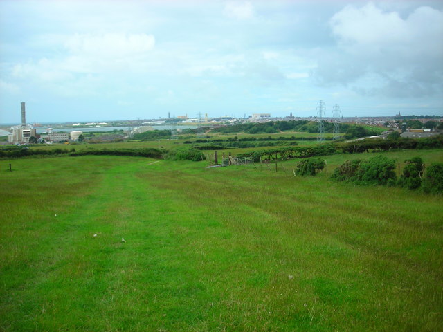
The village is nestled amidst picturesque countryside, offering residents and visitors a tranquil and idyllic setting. The surrounding landscape is characterized by rolling hills, lush green fields, and charming country lanes. This makes Downfield an attractive location for those seeking a peaceful retreat from the bustling city life.

Despite its small size, Downfield offers a range of amenities to cater to the needs of its residents. There is a local primary school, providing education for the younger population, and a village hall that serves as a community hub for various events and gatherings. Additionally, there are a few local shops and businesses that provide essential services to the village.

Downfield benefits from its close proximity to the town of Preston, which offers a wider range of amenities, including shopping centers, restaurants, and leisure facilities. The village is well-connected to Preston and other nearby towns through a network of roads, making it easily accessible for both residents and visitors.

Overall, Downfield is a charming and peaceful village that offers a close-knit community and a rural lifestyle. It provides a perfect balance between the tranquility of the countryside and the conveniences of nearby urban centers.

If you have any feedback on the listing, please let us know in the comments section below.
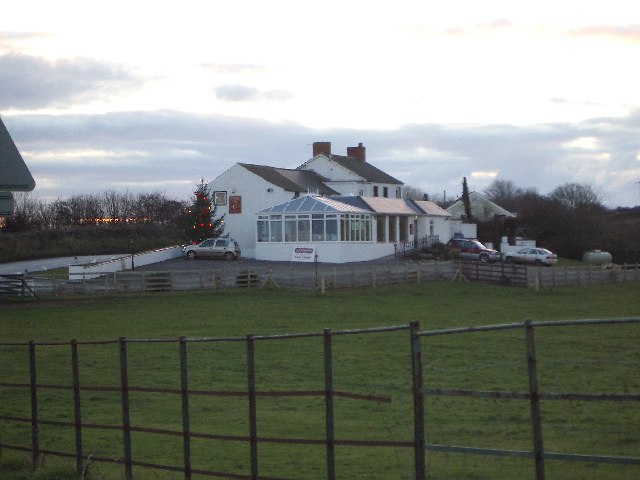
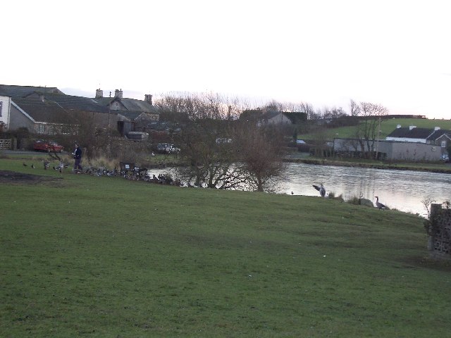
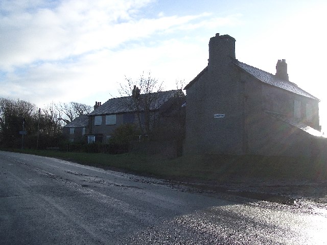
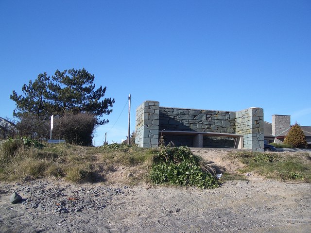
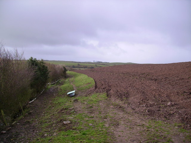
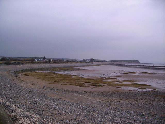
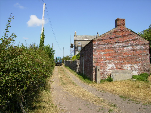
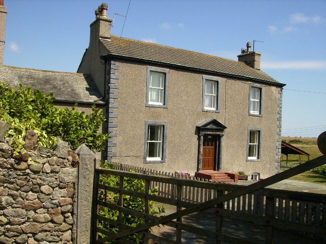
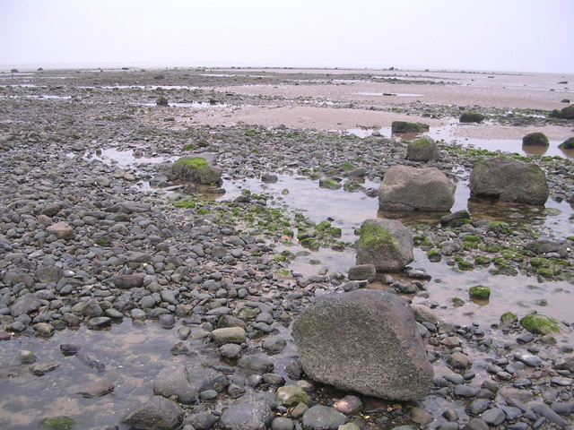
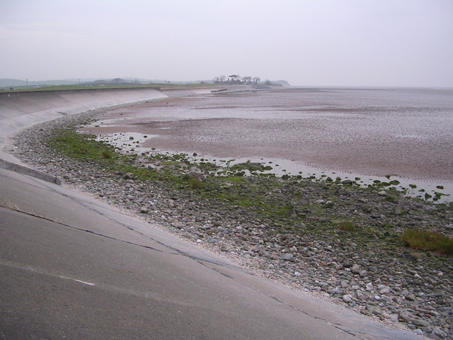
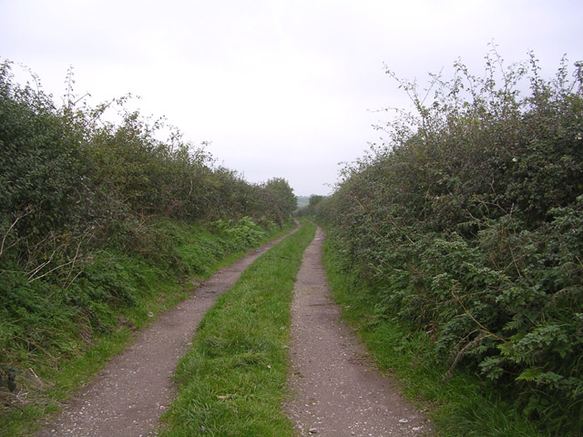
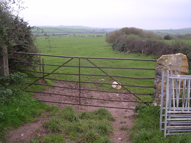
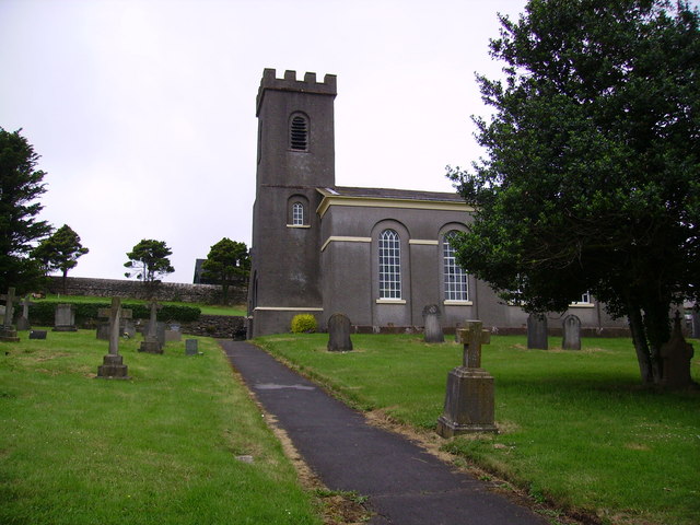
Downfield Images

Images are sourced within 2km of 54.110309/-3.1494875 or Grid Reference SD2468. Thanks to Geograph Open Source API. All images are credited.

From Rampside towards Piel This picture was taken from the coast road looking towards Piel Island. Roa Island and the lifeboat station can be seen on the horizon.
From Rampside towards Piel
This picture was taken from the coast road looking towards Piel Island. Roa Island and the lifeboat station can be seen on the horizon.
Copper Dog, Leece This picture was taken from the road on the way into Leece from Gleaston (ie, the side of the building, not the front!)
Copper Dog, Leece
This picture was taken from the road on the way into Leece from Gleaston (ie, the side of the building, not the front!)
Leece Tarn The lady in the photograph has just finished feeding the ducks and geese.
Leece Tarn
The lady in the photograph has just finished feeding the ducks and geese.
Rampside Church
Rampside Church
Moorhead Cottages These cottages are located on the A5087 just after Roosecote. The cottages now appear to be derelict as the windows are boarded up.
Moorhead Cottages
These cottages are located on the A5087 just after Roosecote. The cottages now appear to be derelict as the windows are boarded up.
Sheltered Seat This seat sheltered by a slate surround looks out over Morecambe Bay from Rampside on the Coast Road near Barrow-in-Furness. The seat is opposite the junction to Peasholmes Lane
Sheltered Seat
This seat sheltered by a slate surround looks out over Morecambe Bay from Rampside on the Coast Road near Barrow-in-Furness. The seat is opposite the junction to Peasholmes Lane
Bath and Ploughed Field Handy to have a bath on site its muddy work ploughing a field
Bath and Ploughed Field
Handy to have a bath on site its muddy work ploughing a field
Coast at Newbiggin Looking north east
Coast at Newbiggin
Looking north east
Moss House This farm lies on The Cistercian Way long distance footpath.
Moss House
This farm lies on The Cistercian Way long distance footpath.
Moss Side
Moss Side
Point of Comfort Scar
Coastal Protection at Point of Comfort
Track with no name Looking north up track off the minor road linking Leece and Point of Comfort
Track with no name
Looking north up track off the minor road linking Leece and Point of Comfort
Gateway to fields near Leece Looking northwards
Gateway to fields near Leece
Looking northwards
Sheep pasture near Roosecote Looking west over Barrow, with the Devonshire Dock Hall and the tower of the Town Hall on the horizon.
Sheep pasture near Roosecote
Looking west over Barrow, with the Devonshire Dock Hall and the tower of the Town Hall on the horizon.
Roosebeck sands The vast expanse of Morecambe bay from the coast road to Ulverston.
Roosebeck sands
The vast expanse of Morecambe bay from the coast road to Ulverston.
Parish church of St Michael In the diocese of Carlisle, The Parish church of St Michael.
Parish church of St Michael
In the diocese of Carlisle, The Parish church of St Michael.
St Michaels graveyard The graveyard at St Michaels church.
St Michaels graveyard
The graveyard at St Michaels church.
Show me another place!

Downfield is located at Grid Ref: SD2468 (Lat: 54.110309, Lng: -3.1494875)

Administrative County: Cumbria

District: South Lakeland

Police Authority: Cumbria

What 3 Words

///personal.crackling.titles. Near Barrow in Furness, Cumbria

Nearby Locations

Downfield

Related Wikis

Leece

Leece is a village on the Furness peninsula in Cumbria, England, between the towns of Ulverston and Barrow-in-Furness. == Amenities == The village is built...

Roosebeck

Roosebeck is a hamlet in South Lakeland, Cumbria, England, on the north west coast of Morecambe Bay. It is in the civil parish of Aldingham.Roosebeck is...

Dendron, Cumbria

Dendron is a small village in South Cumbria, England. It is situated around three miles from the town of Barrow-in-Furness. The village was once just a...

Barrow and Furness (UK Parliament constituency)

Barrow and Furness, formerly known as Barrow-in-Furness, is a constituency in Cumbria which has been represented in the House of Commons of the UK Parliament...

Gleaston

Gleaston is a village with a population of around 400 in the Furness area of South Cumbria, situated between the towns of Barrow-in-Furness, Dalton-in...

Newbiggin, Furness

Newbiggin is a village on the A5087 road, in Furness, in the South Lakeland district, in the English county of Cumbria. Historically in Lancashire, nearby...

Roosecote Power Station

Roosecote Power Station was a gas-fired, originally coal-fired power station, situated in the Roosecote district of Barrow-in-Furness in Cumbria, North...

Rampside Gas Terminal

Rampside Gas Terminal is a gas terminal situated in Barrow-in-Furness, Cumbria on the Irish Sea coast. It connects to gas fields in Morecambe Bay. It...

Nearby Amenities

Located within 500m of 54.110309,-3.1494875
Barrier: cattle_grid
Lat/Long: 54.1069653/-3.154107
Power: pole
Lat/Long: 54.1083013/-3.1558182
Power: pole
Lat/Long: 54.1080074/-3.1544591
Power: pole
Lat/Long: 54.1077805/-3.1533486
Power: pole
Lat/Long: 54.1077354/-3.1516377
Power: pole
Lat/Long: 54.1076915/-3.1499906
Power: pole
Lat/Long: 54.1099051/-3.1505909
Power: pole
Lat/Long: 54.109218/-3.1504216
Power: pole
Lat/Long: 54.1081453/-3.1501093
Power: pole
Lat/Long: 54.1068238/-3.1498322
Power: pole
Lat/Long: 54.1058736/-3.1496453
The data included in this document is from www.openstreetmap.org. The data is made available under ODbL.

Have you been to Downfield?

Leave your review of Downfield below (or comments, questions and feedback).