Downend

Settlement in Hampshire Fareham

England

Downend

The Golden Lion Pub The view of a traditional old English pub in Fareham High Street.
The Golden Lion Pub Credit: Gordon Griffiths

Downend is a small village located in the picturesque county of Hampshire, England. Situated in the South Downs National Park, it enjoys a tranquil setting surrounded by rolling hills and beautiful countryside. With a population of around 1,000 residents, it maintains a close-knit community atmosphere.

The village itself is characterized by its charming thatched cottages, historic buildings, and well-preserved architecture. It boasts a rich history dating back to the medieval period, with notable landmarks such as St. Mary's Church, a Grade II listed building known for its stunning stained glass windows.

Despite its small size, Downend offers a range of amenities for its residents and visitors. The village is home to a local pub, The Fox and Hounds, which serves traditional British fare and hosts community events. Additionally, there is a village hall that hosts various social gatherings, clubs, and activities.

Nature lovers will appreciate the abundance of outdoor opportunities in the surrounding area. The South Downs National Park offers countless walking and cycling trails, where visitors can explore the stunning landscapes and encounter local wildlife. Downend is also conveniently located near the South Coast, providing easy access to beautiful beaches and coastal towns.

With its idyllic setting, rich history, and strong sense of community, Downend is a charming village that offers a peaceful and picturesque escape from the hustle and bustle of city life.

If you have any feedback on the listing, please let us know in the comments section below.
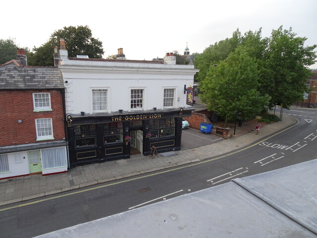
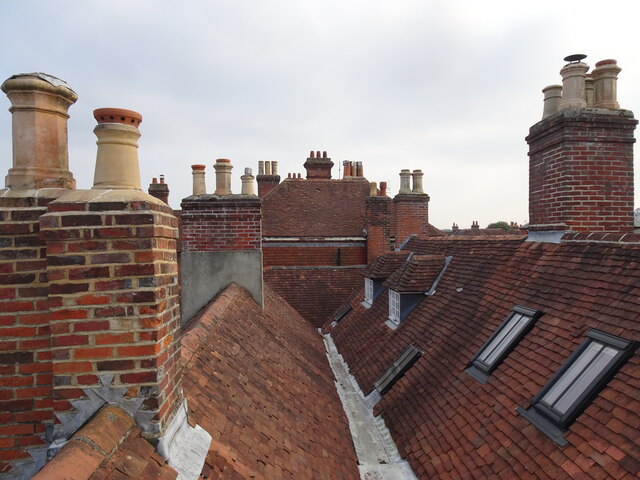
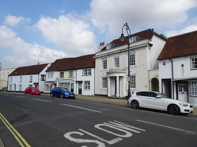
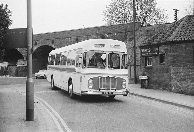
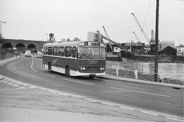
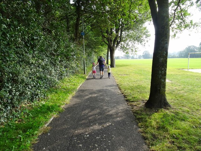
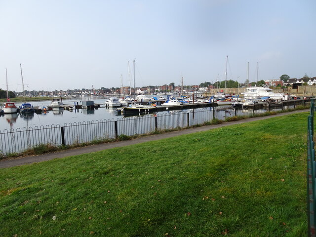
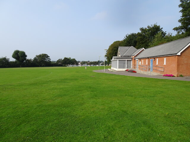
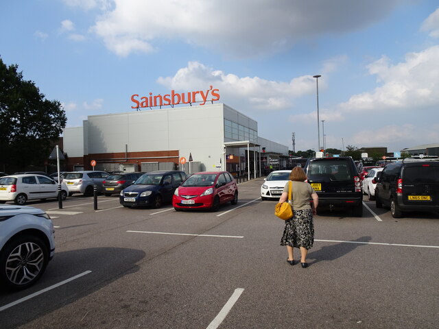
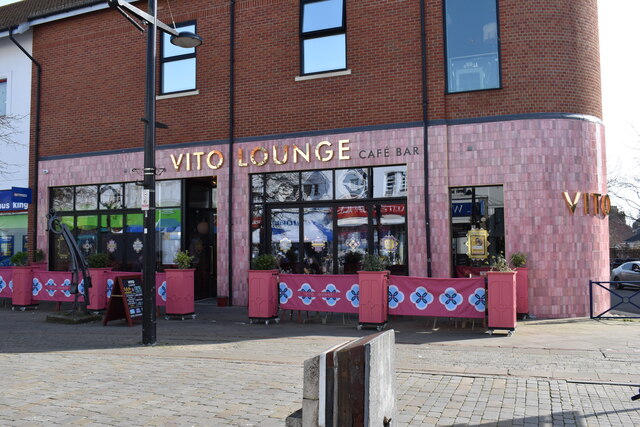
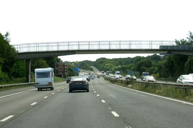
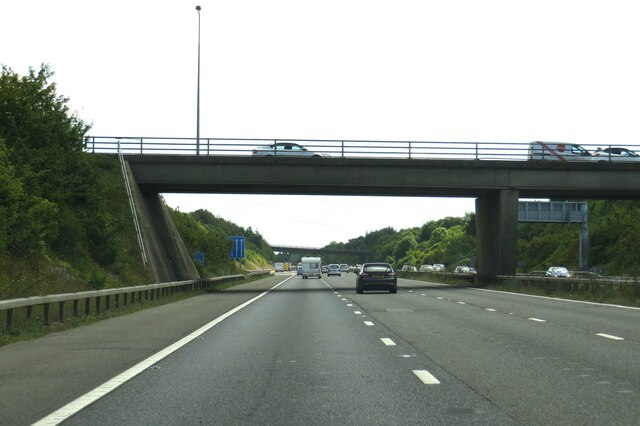
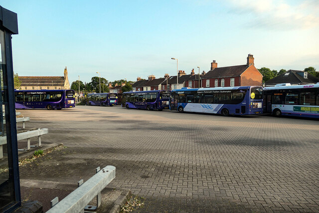
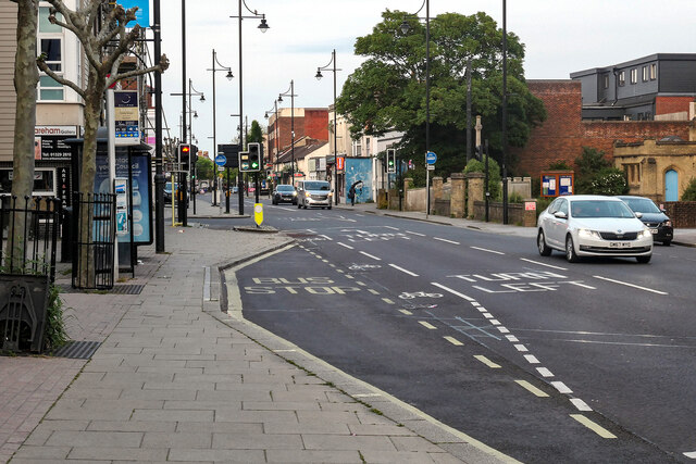
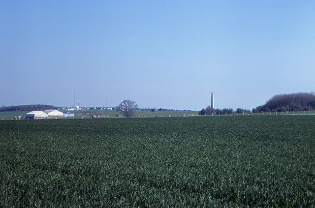
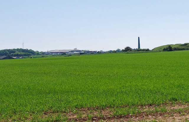
Downend Images

Images are sourced within 2km of 50.851206/-1.156384 or Grid Reference SU5906. Thanks to Geograph Open Source API. All images are credited.

The Golden Lion Pub The view of a traditional old English pub in Fareham High Street.
The Golden Lion Pub
The view of a traditional old English pub in Fareham High Street.
Fareham Roofs The view over High Street in Fareham.
Fareham Roofs
The view over High Street in Fareham.
High Street  The view in Fareham.
High Street
The view in Fareham.
On Hartlands Road, Fareham – 1969 The location as seen has disappeared with the creation of Western Way and its split-level junction with Gosport Road. The coach is roughly underneath the footbridge in this view <a title="https://www.geograph.org.uk/photo/2385672" href="https://www.geograph.org.uk/photo/2385672">Link</a> .

It belonged to Red & White of Chepstow, one of the nationalised companies under the British Transport Commission, and is probably working from Cardiff to Portsmouth. It is a Bristol RE with ECW coachwork, new in 1968.

This is one of a series of views featuring buses in the 60s, 70s, and 80s. <a title="https://www.geograph.org.uk/search.php?i=137652761" href="https://www.geograph.org.uk/search.php?i=137652761">Link</a>
On Hartlands Road, Fareham – 1969
The location as seen has disappeared with the creation of Western Way and its split-level junction with Gosport Road. The coach is roughly underneath the footbridge in this view Link . It belonged to Red & White of Chepstow, one of the nationalised companies under the British Transport Commission, and is probably working from Cardiff to Portsmouth. It is a Bristol RE with ECW coachwork, new in 1968. This is one of a series of views featuring buses in the 60s, 70s, and 80s. Link
Gosport Road at Gosport Quay - 1969 The location has seen significant change. The road itself has become a promenade following the construction of the new dual carriageway a bit to the west.

The vessel at the quay has an interesting history. It is the MV 'Mark Bowen', belonging to the firm T. Bowen & P. Caines. It started life in 1943 as a Royal Fleet Auxiliary vessel NAV Chattenden, carrying naval armaments, remaining in naval service until 1967 when it was sold. Bowen & Caines bought the vessel in 1969 and it was converted into an aggregates suction dredger, the form in which it is seen here.

The bus is Gosport & Fareham 38, a Seddon Pennine 4 with locally-built Strachans bodywork, new in 1968. It was one of the last vehicles to be bought before the company was bought by the National Bus Company, and represents the company's tradition of buying lightweight or second-hand vehicles.

This is one of a series of views featuring buses in the 60s, 70s, and 80s. <a title="https://www.geograph.org.uk/search.php?i=137652761" href="https://www.geograph.org.uk/search.php?i=137652761">Link</a>
Gosport Road at Gosport Quay - 1969
The location has seen significant change. The road itself has become a promenade following the construction of the new dual carriageway a bit to the west. The vessel at the quay has an interesting history. It is the MV 'Mark Bowen', belonging to the firm T. Bowen & P. Caines. It started life in 1943 as a Royal Fleet Auxiliary vessel NAV Chattenden, carrying naval armaments, remaining in naval service until 1967 when it was sold. Bowen & Caines bought the vessel in 1969 and it was converted into an aggregates suction dredger, the form in which it is seen here. The bus is Gosport & Fareham 38, a Seddon Pennine 4 with locally-built Strachans bodywork, new in 1968. It was one of the last vehicles to be bought before the company was bought by the National Bus Company, and represents the company's tradition of buying lightweight or second-hand vehicles. This is one of a series of views featuring buses in the 60s, 70s, and 80s. Link
Park Path The view in Bath Lane Recreation Ground, Fareham.
Park Path
The view in Bath Lane Recreation Ground, Fareham.
Fareham Boats The view from Bath Lane Recreation Ground.
Fareham Boats
The view from Bath Lane Recreation Ground.
Fareham Park The view of Bath Lane Recreation Ground.
Fareham Park
The view of Bath Lane Recreation Ground.
Fareham Sainbury's The car park view in Fareham.
Fareham Sainbury's
The car park view in Fareham.
Vito Lounge - Restaurant in West Street This was previously the hardware retailer Robert Dyas. See <a href="https://www.geograph.org.uk/photo/6775089">SU5706 : West Street, Fareham (50)</a>.
Vito Lounge - Restaurant in West Street
This was previously the hardware retailer Robert Dyas. See SU5706 : West Street, Fareham (50).
The M27 runs under a footbridge
The M27 runs under the A27
Evening at Fareham bus station Not much activity at this time of day - about 19:30.
Evening at Fareham bus station
Not much activity at this time of day - about 19:30.
Evening in West Street, Fareham Looking towards the junction with Trinity Street.
Evening in West Street, Fareham
Looking towards the junction with Trinity Street.
Arable land between Swivelton Lane and Portsdown Hill Road (1984) Nelson's Monument is to the right in the photo.
Arable land between Swivelton Lane and Portsdown Hill Road (1984)
Nelson's Monument is to the right in the photo.
Arable land between Swivelton Lane and Portsdown Hill Road (2010) To see a photo taken from the same spot 26 years previously see <a href="https://www.geograph.org.uk/photo/7035999">SU6007 : Arable land between Swivelton Lane and Portsdown Hill Road (1984)</a>.
Arable land between Swivelton Lane and Portsdown Hill Road (2010)
To see a photo taken from the same spot 26 years previously see SU6007 : Arable land between Swivelton Lane and Portsdown Hill Road (1984).
Swivelton Lane Observatory Located on Monument Farm and belonging to the Hampshire Astronomical Group, this observatory closed in 1988.
Swivelton Lane Observatory
Located on Monument Farm and belonging to the Hampshire Astronomical Group, this observatory closed in 1988.
Part of the Heavy Anti-Aircraft Batteries on Portsdown This was the power room for the Nelson Heavy Anti-Aircraft battery located on Monument Farm. It was used from the mid 1960s to the mid 1980s as the club hut for the Portsmouth Astronomical Society. For some more information on this click on this <span class="nowrap"><a title="www.portsdown-tunnels.org.uk/surface_sites/haa_guns_p1.html" rel="nofollow ugc noopener" href="http://www.portsdown-tunnels.org.uk/surface_sites/haa_guns_p1.html">Link</a><img style="margin-left:2px;" alt="External link" title="External link - shift click to open in new window" src="https://s1.geograph.org.uk/img/external.png" width="10" height="10"/></span>
Part of the Heavy Anti-Aircraft Batteries on Portsdown
This was the power room for the Nelson Heavy Anti-Aircraft battery located on Monument Farm. It was used from the mid 1960s to the mid 1980s as the club hut for the Portsmouth Astronomical Society. For some more information on this click on this LinkExternal link
Show me another place!

Downend is located at Grid Ref: SU5906 (Lat: 50.851206, Lng: -1.156384)

Administrative County: Hampshire

District: Fareham

Police Authority: Hampshire

What 3 Words

///grumble.richest.dote. Near Fareham, Hampshire

Nearby Locations

Downend

Related Wikis

Cams Hill School

Cams Hill School is a medium-sized mixed secondary school for ages 11–16, located in Shearwater Avenue in Fareham, England. Along with The Henry Cort Community...

Fareham Academy

Fareham Academy is a medium-sized mixed secondary school, with five tiers of entry (ages 11–16), located in St Anne's Grove in Fareham, England. Along...

Cams Hall

Cams Hall at Fareham, Hampshire, United Kingdom, is a Palladian mansion set in parkland overlooking Portsmouth Harbour. The land at Cams Hall was mentioned...

A.F.C. Portchester

A.F.C. Portchester is a football club based in Portchester, a suburb of the town of Fareham, Hampshire, England. They are currently members of the Wessex...

Wallington, Hampshire

Wallington is a village in Hampshire, part of the borough of Fareham. It is situated between Portsmouth and Southampton near where the River Wallington...

Wykeham House School

Wykeham House School is a former independent day school for girls and boys in market town of Fareham, Hampshire in South East England. Until its closure...

Fareham Common

Fareham Common is a suburb and small village near Fareham, Hampshire. The village lies 1.3 miles (2.8 km) north from the town of Fareham. The suburb is...

Borough of Fareham

The Borough of Fareham is a local government district with borough status in Hampshire, England. Its council is based in Fareham. Other places within the...

Nearby Amenities

Located within 500m of 50.851206,-1.156384
Power: tower
Lat/Long: 50.8501041/-1.1539696
Power: tower
Lat/Long: 50.8471474/-1.1545036
Post Box
Brand: Royal Mail
Brand Wikidata: Q638098
Operator: Royal Mail
Operator Wikidata: Q638098
Post Box Type: pillar
Postal Code: PO16
Ref: PO16 72
Royal Cypher: GR
Royal Cypher Wikidata: Q33102273
Lat/Long: 50.8508749/-1.1550884
Bus Stop
Downend Road
Bus: yes
Naptan AtcoCode: 1900HA040408
Naptan Bearing: W
Naptan CommonName: Downend Road
Naptan Crossing: Shearwater Avenue
Naptan NaptanCode: hamdwagt
Naptan PlusbusZoneRef: FAREHAM
Naptan Street: Cams Hill
Naptan Verified: no
Public Transport: platform
Source: naptan_import
Lat/Long: 50.8510318/-1.1573527
Bus Stop
Birdwood Grove
Bus: yes
Naptan AtcoCode: 1900HA040409
Naptan Bearing: W
Naptan CommonName: Birdwood Grove
Naptan Crossing: Hawkwell
Naptan NaptanCode: hamdwapd
Naptan PlusbusZoneRef: FAREHAM
Naptan Street: Portchester Road
Naptan Verified: no
Public Transport: platform
Source: naptan_import
Lat/Long: 50.8505308/-1.1533682
Bus Stop
Birdwood Grove
Bus: yes
Naptan AtcoCode: 1900HA040410
Naptan Bearing: E
Naptan CommonName: Birdwood Grove
Naptan Crossing: Hawkwell
Naptan NaptanCode: hamdwapt
Naptan PlusbusZoneRef: FAREHAM
Naptan Street: Portchester Road
Naptan Verified: no
Public Transport: platform
Seats: yes
Shelter: yes
Source: naptan_import
Source 1: survey
Lat/Long: 50.850723/-1.1535358
Bus Stop
The Thicket
Bus: yes
Naptan AtcoCode: 1900HA040411
Naptan Bearing: E
Naptan CommonName: The Thicket
Naptan Crossing: Widgeon Court
Naptan NaptanCode: hamdwdgt
Naptan PlusbusZoneRef: FAREHAM
Naptan Street: Portchester Road
Naptan Verified: no
Public Transport: platform
Seats: no
Shelter: no
Source: naptan_import
Source 1: survey
Lat/Long: 50.8499682/-1.149573
Bus Stop
Condor Roundabout
Bus: yes
Naptan AtcoCode: 1900HA040412
Naptan Bearing: W
Naptan CommonName: Condor Roundabout
Naptan NaptanCode: hamdwdgj
Naptan PlusbusZoneRef: FAREHAM
Naptan Street: Portchester Road
Naptan Verified: no
Public Transport: platform
Source: naptan_import
Lat/Long: 50.8499627/-1.150753
Bus Stop
Cams Hill School Only
Bus: yes
Naptan AtcoCode: 1900HAA09345
Naptan Bearing: NE
Naptan BusStopType: CUS
Naptan CommonName: Cams Hill School Only
Naptan Landmark: Cams Hill Sch Grounds
Naptan NaptanCode: hamjdmwg
Naptan PlusbusZoneRef: FAREHAM
Naptan Street: Shearwater Avenue
Naptan Verified: no
Public Transport: platform
Source: naptan_import
Lat/Long: 50.8505997/-1.1572895
Traffic Signals
Lat/Long: 50.8512219/-1.1567665
Traffic Signals
Lat/Long: 50.8513459/-1.1562753
Traffic Signals
Lat/Long: 50.8510845/-1.156176
Post Box
Collection Times: Mo-Fr 16:00, Sa 11:30
Ref: PO16 113
Lat/Long: 50.853594/-1.158392
Barrier: bollard
Lat/Long: 50.8525657/-1.1630409
North Park
Place: locality
Lat/Long: 50.8503206/-1.1625199
Downend
Place: neighbourhood
Lat/Long: 50.8515058/-1.1571227
Addr City: Fareham
Addr Street: Portchester Road
Old Phone: +44 1329 288012
Removed Amenity: telephone
Lat/Long: 50.8509519/-1.1554366
Crossing
Crossing: traffic_signals
Crossing Ref: toucan
Lat/Long: 50.8509983/-1.1565492
Traffic Signals
Traffic Signals: signal
Lat/Long: 50.8509432/-1.1565691
Crossing
Lat/Long: 50.851222/-1.1567201
Crossing
Lat/Long: 50.8510929/-1.1567243
Crossing
Lat/Long: 50.8512057/-1.1562203
Crossing
Lat/Long: 50.8510865/-1.1562455
Bench
Lat/Long: 50.8509456/-1.1553635
The data included in this document is from www.openstreetmap.org. The data is made available under ODbL.

Have you been to Downend?

Leave your review of Downend below (or comments, questions and feedback).