Downend

Settlement in Cornwall

England

Downend

Parapet of Restormel Bridge, Lostwithiel
Parapet of Restormel Bridge, Lostwithiel Credit: David Smith

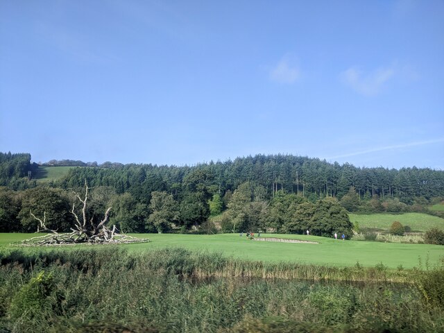
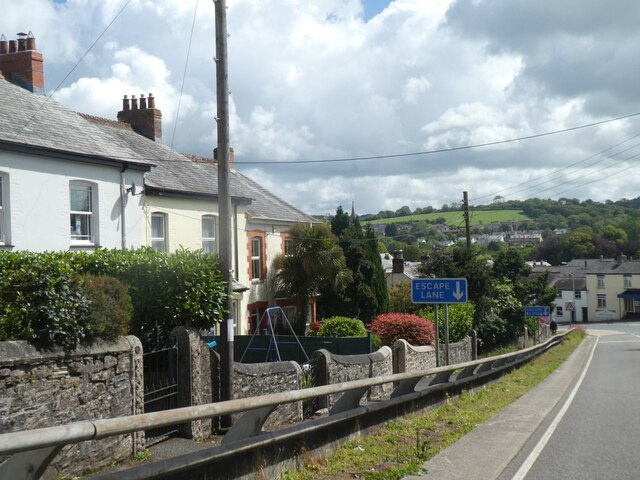
Downend is a small coastal village located in the county of Cornwall, England. Situated on the rugged Atlantic coastline, it is nestled between the popular tourist destinations of Bude and Widemouth Bay. The village is known for its picturesque charm and breathtaking natural beauty.

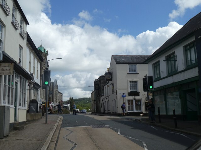
The landscape of Downend is characterized by stunning cliffs, golden sandy beaches, and crystal-clear waters. It offers visitors a perfect blend of rugged coastal walks, peaceful countryside, and a vibrant local community. The village itself is quaint and traditional, with charming cottages, a village green, and a handful of local shops and amenities.

Downend is a haven for outdoor enthusiasts, with a range of activities available. Surfers flock to the village to ride the waves at the nearby beaches, while hikers and walkers enjoy exploring the South West Coast Path, which offers breathtaking views of the coastline. The village also boasts a number of cycling routes and is a popular spot for birdwatching.

The area surrounding Downend is rich in history and culture. Nearby attractions include the historic Bude Castle, the picturesque fishing village of Clovelly, and the famous Tintagel Castle. Additionally, the village hosts regular events and festivals that showcase local talent, crafts, and produce.

Overall, Downend is a hidden gem on the Cornish coastline, offering visitors a tranquil and idyllic retreat. Whether you are seeking outdoor adventures, cultural experiences, or simply a place to relax and unwind, Downend has something to offer everyone.

If you have any feedback on the listing, please let us know in the comments section below.
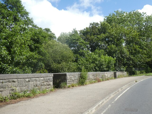
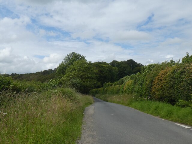
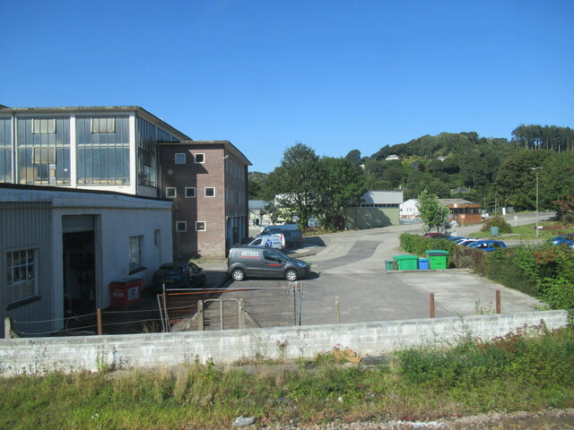
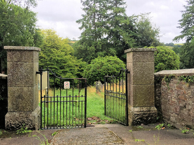
Downend Images

Images are sourced within 2km of 50.406971/-4.650162 or Grid Reference SX1159. Thanks to Geograph Open Source API. All images are credited.

Parapet of Restormel Bridge, Lostwithiel
Minor road north-east of Hartswell To the west (left) the land slopes down steeply
Minor road north-east of Hartswell
To the west (left) the land slopes down steeply
Fork in road north-east of Hartswell
Road to Higher Hartswell Farm and woodland beyond
Woodland north of Higher Hartswell Farm The woodland is part of the Boconnoc estate to the east
Woodland north of Higher Hartswell Farm
The woodland is part of the Boconnoc estate to the east
Road through woodland on west side of Druid's Hill
MOT Centre on A390
MOT Centre on A390
Side road off A390
Side road off A390
Industrial units on outskirts of Lostwithiel
Roadworks on Liddicoat Road The A390  runs for 60 miles between Tavistock and a roundabout with the A30 at Three Burrows, 5 miles north west of the city of Truro in Cornwall, via Lostwithiel, St Blazey, and St Austell. It is an important road as it forms part of the main route (the Truro to Dobwalls section) from Truro to Plymouth. It can be used to travel along the spine of Cornwall as a more leisurely drive instead of using the A30.
Roadworks on Liddicoat Road
The A390 runs for 60 miles between Tavistock and a roundabout with the A30 at Three Burrows, 5 miles north west of the city of Truro in Cornwall, via Lostwithiel, St Blazey, and St Austell. It is an important road as it forms part of the main route (the Truro to Dobwalls section) from Truro to Plymouth. It can be used to travel along the spine of Cornwall as a more leisurely drive instead of using the A30.
A390, Grenville Road The A390  runs for 60 miles between Tavistock and a roundabout with the A30 at Three Burrows, 5 miles north west of the city of Truro in Cornwall, via Lostwithiel, St Blazey, and St Austell. It is an important road as it forms part of the main route (the Truro to Dobwalls section) from Truro to Plymouth. It can be used to travel along the spine of Cornwall as a more leisurely drive instead of using the A30.
A390, Grenville Road
The A390 runs for 60 miles between Tavistock and a roundabout with the A30 at Three Burrows, 5 miles north west of the city of Truro in Cornwall, via Lostwithiel, St Blazey, and St Austell. It is an important road as it forms part of the main route (the Truro to Dobwalls section) from Truro to Plymouth. It can be used to travel along the spine of Cornwall as a more leisurely drive instead of using the A30.
A390 near Sandylake The A390  runs for 60 miles between Tavistock and a roundabout with the A30 at Three Burrows, 5 miles north west of the city of Truro in Cornwall, via Lostwithiel, St Blazey, and St Austell. It is an important road as it forms part of the main route (the Truro to Dobwalls section) from Truro to Plymouth. It can be used to travel along the spine of Cornwall as a more leisurely drive instead of using the A30.
A390 near Sandylake
The A390 runs for 60 miles between Tavistock and a roundabout with the A30 at Three Burrows, 5 miles north west of the city of Truro in Cornwall, via Lostwithiel, St Blazey, and St Austell. It is an important road as it forms part of the main route (the Truro to Dobwalls section) from Truro to Plymouth. It can be used to travel along the spine of Cornwall as a more leisurely drive instead of using the A30.
A390 east of Lostwithiel The A390  runs for 60 miles between Tavistock and a roundabout with the A30 at Three Burrows, 5 miles north west of the city of Truro in Cornwall, via Lostwithiel, St Blazey, and St Austell. It is an important road as it forms part of the main route (the Truro to Dobwalls section) from Truro to Plymouth. It can be used to travel along the spine of Cornwall as a more leisurely drive instead of using the A30.
A390 east of Lostwithiel
The A390 runs for 60 miles between Tavistock and a roundabout with the A30 at Three Burrows, 5 miles north west of the city of Truro in Cornwall, via Lostwithiel, St Blazey, and St Austell. It is an important road as it forms part of the main route (the Truro to Dobwalls section) from Truro to Plymouth. It can be used to travel along the spine of Cornwall as a more leisurely drive instead of using the A30.
Restormel Road Cemetery
The northern part of the graveyard at St Nectan's Chapel
Lostwithiel golf course
Edgecombe Road, Lostwithiel
Queen Street, Lostwithiel
Show me another place!

Downend is located at Grid Ref: SX1159 (Lat: 50.406971, Lng: -4.650162)

Unitary Authority: Cornwall

Police Authority: Devon and Cornwall

What 3 Words

///upholding.bachelor.tens. Near Lostwithiel, Cornwall

Nearby Locations

Downend Bridgend

Related Wikis

A390 road

The A390 is a road in Cornwall and Devon, England. It runs from Tavistock to 5 miles (8.0 km) north west of the city of Truro. Starting in Tavistock, it...

Sandylake

Sandylake is a hamlet east of Lostwithiel in Cornwall, England. It is on the A30 main road. == References ==

Lostwithiel railway station

Lostwithiel railway station (Cornish: Lostwydhyel) serves the town of Lostwithiel in Cornwall, England. It is 277 miles 36 chains (277.45 mi; 446.5 km...

Lostwithiel signal box

Lostwithiel signal box is a Grade II listed former Great Western Railway signal box, located on Lostwithiel railway station in Cornwall, England. The signal...

Redlake Meadows & Hoggs Moor

Redlake Meadows & Hoggs Moor is a Site of Special Scientific Interest (SSSI), noted for its biological characteristics, in Cornwall, England, UK. Within...

Battle of Lostwithiel

The Battle of Lostwithiel took place over a 13-day period from 21 August to 2 September 1644, around the town of Lostwithiel and along the River Fowey...

Lostwithiel Stannary Palace

The Stannary Palace, also known as the Duchy Palace, was a complex of buildings operated by the Dukes of Cornwall as the centre of their administration...

St Bartholomew's Church, Lostwithiel

St Bartholomew's Church is a parish church of the Church of England Diocese of Truro in Lostwithiel, Cornwall, England, United Kingdom. == Background... ==

Nearby Amenities

Located within 500m of 50.406971,-4.650162
Car Wash
Downend Garage
Lat/Long: 50.4078053/-4.6509612
WW2 Anti-tank Roadblock (site of)
Military: checkpoint
Lat/Long: 50.4082077/-4.6506688
Wheal Fortescue
Historic: mine
Mineral: lead, silver
Website: https://www.pastscape.org.uk/hob.aspx?hob_id=432183
Lat/Long: 50.4069247/-4.6443301
Power: pole
Lat/Long: 50.4103312/-4.6499553
Power: pole
Lat/Long: 50.4106047/-4.6512321
Power: pole
Lat/Long: 50.4087791/-4.6464497
Power: pole
Lat/Long: 50.407856/-4.6443522
Post Box
Brand: Royal Mail
Brand Wikidata: Q638098
Operator: Royal Mail
Operator Wikidata: Q638098
Post Box Mounting: brick_pillar
Post Box Type: wall
Lat/Long: 50.4075819/-4.6518228
The data included in this document is from www.openstreetmap.org. The data is made available under ODbL.

Have you been to Downend?

Leave your review of Downend below (or comments, questions and feedback).