Downhall Beach Estate
Settlement in Essex Maldon
England
Downhall Beach Estate
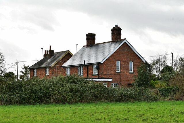
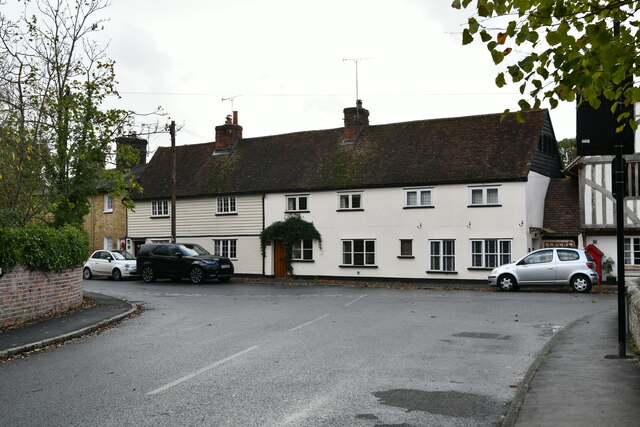
Downhall Beach Estate is a picturesque residential area located in the county of Essex, England. Situated on the stunning coastline of the North Sea, this charming estate offers a tranquil and idyllic setting for its residents.
The estate is known for its beautiful sandy beach, which stretches for miles and provides a perfect spot for leisurely walks, picnics, and sunbathing. The beach is also popular among water sports enthusiasts, offering opportunities for swimming and surfing.
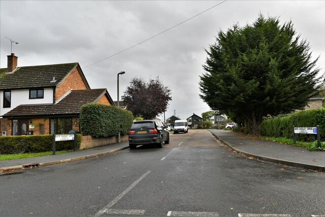
The properties in Downhall Beach Estate are predominantly residential homes, ranging from quaint cottages to modern houses with stunning sea views. Many of the homes have private gardens, allowing residents to enjoy the fresh sea breeze and the soothing sound of the waves.
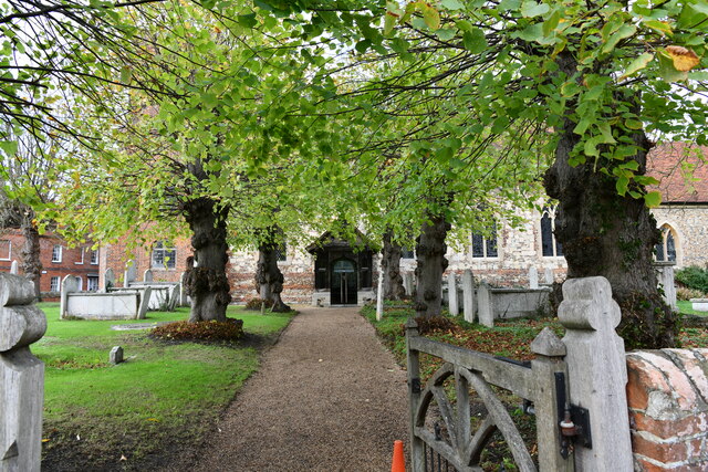
The estate is surrounded by lush greenery, with well-maintained parks and gardens providing a peaceful atmosphere for residents to enjoy outdoor activities. There are also plenty of walking and cycling paths, allowing residents to explore the scenic beauty of the surrounding area.
Downhall Beach Estate is well-connected to nearby towns and cities, with excellent transport links including train stations and major road networks. This makes it an ideal location for those who value both the tranquility of beachside living and the convenience of easy access to urban amenities.
Overall, Downhall Beach Estate offers a serene and welcoming community for residents, with its stunning beach, beautiful homes, and convenient location. It is a place where one can escape the hustle and bustle of city life and enjoy the natural beauty of the Essex coastline.
If you have any feedback on the listing, please let us know in the comments section below.
Downhall Beach Estate Images
Images are sourced within 2km of 51.739381/0.89382332 or Grid Reference TL9908. Thanks to Geograph Open Source API. All images are credited.

Downhall Beach Estate is located at Grid Ref: TL9908 (Lat: 51.739381, Lng: 0.89382332)
Administrative County: Essex
District: Maldon
Police Authority: Essex
What 3 Words
///screening.hawks.shepherds. Near West Mersea, Essex
Nearby Locations
Related Wikis
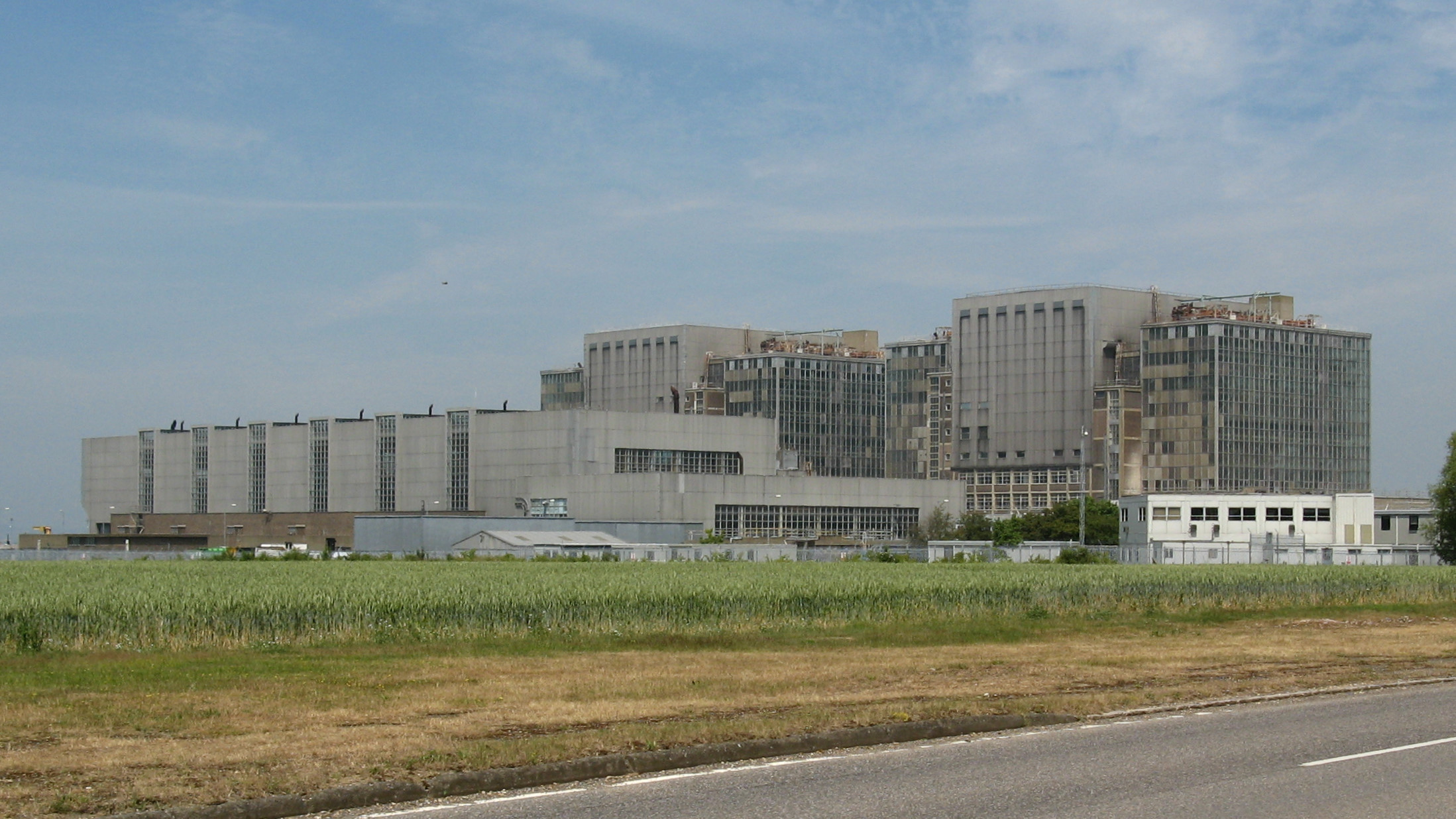
Bradwell nuclear power station
Bradwell nuclear power station is a Magnox-design nuclear power station that is undergoing decommissioning. It is located on the Dengie peninsula at the...

Bradwell B nuclear power station
Bradwell B is a proposed nuclear power station at Bradwell-on-Sea in Essex, put forward by China General Nuclear Power Group (CGN). If constructed, the...

Bradwell Waterside
Bradwell Waterside is a small hamlet in Essex, England. It is located about 9 km (5.6 mi) north-northeast of Southminster and is 28 km (17 mi) east from...

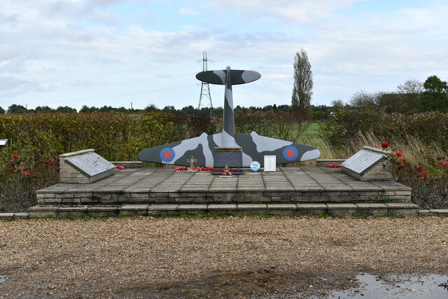
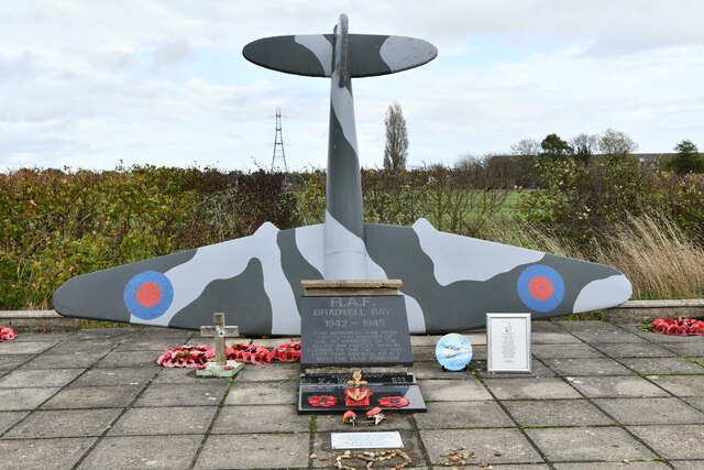
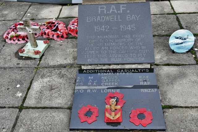
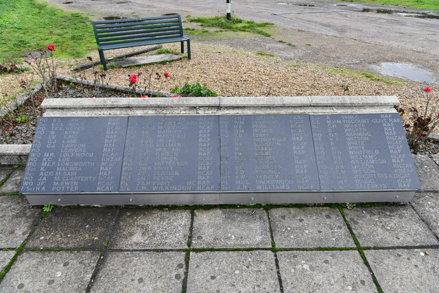
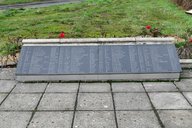
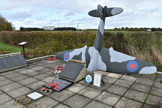
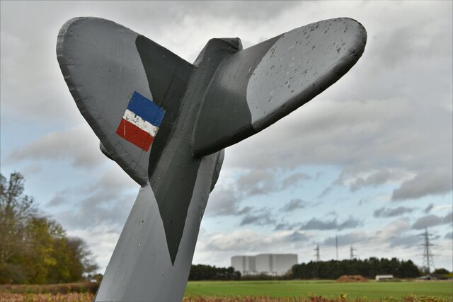
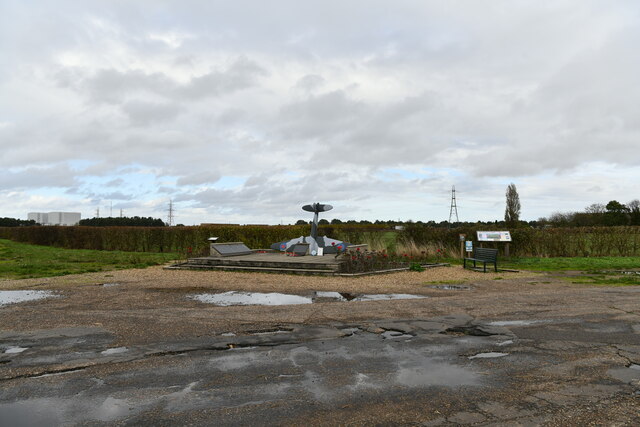
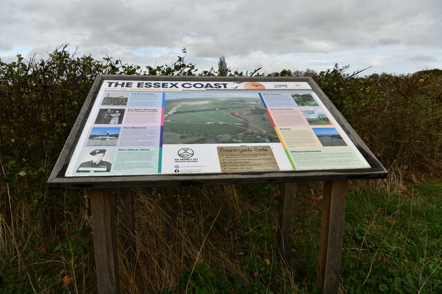
RAF Bradwell Bay
Royal Air Force Bradwell Bay or more simply RAF Bradwell Bay is a former Royal Air Force station located 9.5 miles (15.3 km) east of Maldon, Essex, England...
Nearby Amenities
Located within 500m of 51.739381,0.89382332Have you been to Downhall Beach Estate?
Leave your review of Downhall Beach Estate below (or comments, questions and feedback).