Blofield Corner

Settlement in Norfolk Broadland

England

Blofield Corner

Hemblington village sign The sign was unveiled on the 25th September 2021. The new sign depicts the Anglo-Saxon All Saints Church and a boot, representing shoemaker Jeremiah Cutton after whom Cutton's Corner, (adjacent to the sign's location) is named. 
As well as the church, the sign illustrates the agricultural nature of the village by a tractor under the trees which themselves represent the various woodlands of the area, with geese in the foreground.
Hemblington village sign Credit: Adrian S Pye

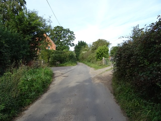
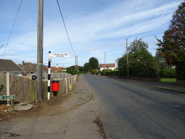
Blofield Corner is a small village located in the county of Norfolk, England. Situated approximately 10 miles east of Norwich, the village is nestled in a rural area surrounded by picturesque countryside. It falls within the Broadland district and has a population of around 1,500 residents.

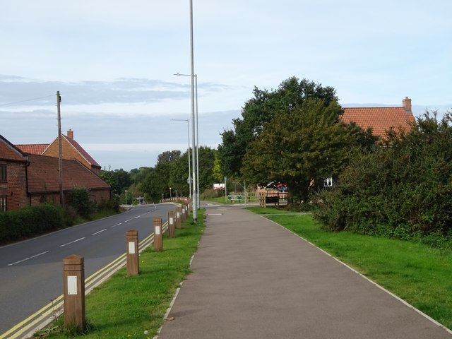
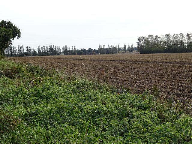
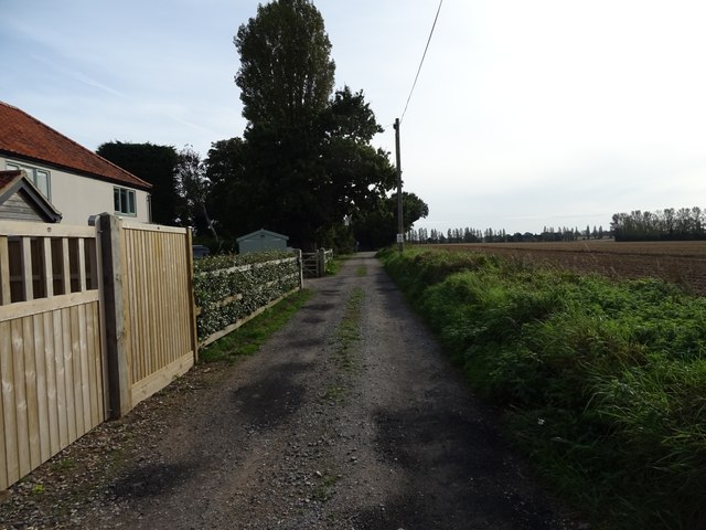
The village is known for its charming and tranquil atmosphere, offering a peaceful escape from the bustling city life. Blofield Corner is characterized by its quintessential English countryside, featuring rolling fields, hedgerows, and a scattering of traditional cottages and houses.

A notable feature of the village is its close proximity to the Norfolk Broads, a network of rivers and lakes that provide a haven for wildlife and a popular destination for boating enthusiasts. The Broads offer opportunities for sailing, fishing, and bird-watching, making it a haven for nature lovers.

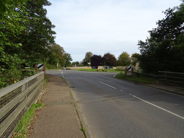
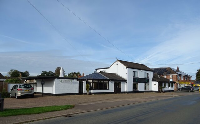
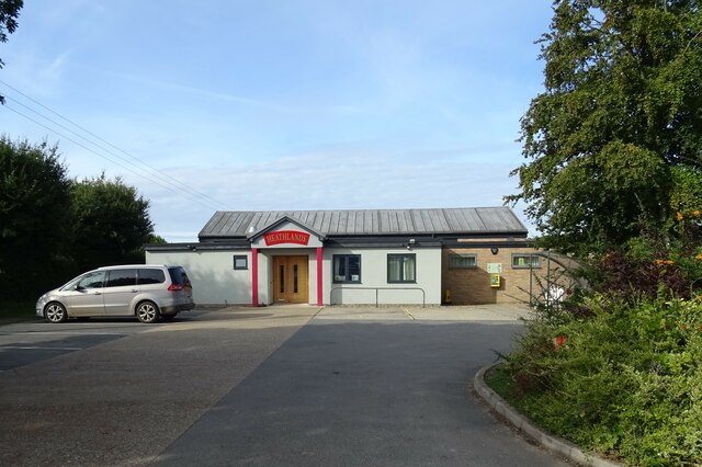
Blofield Corner benefits from a range of amenities, including a primary school, a village hall, and a local pub. The village also has good transport links, with regular bus services connecting it to nearby towns and cities.

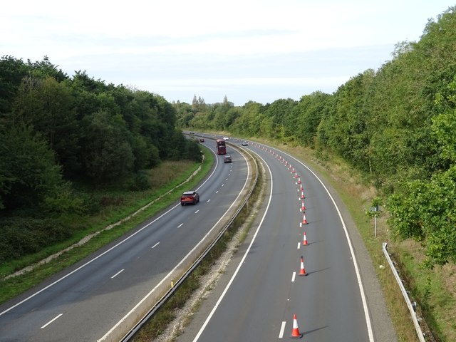
The surrounding area offers plenty of opportunities for outdoor activities, such as walking and cycling. Additionally, the nearby city of Norwich provides residents with a wider range of amenities, including shopping centers, restaurants, and cultural attractions.

Overall, Blofield Corner provides a tranquil and picturesque setting, making it an ideal place for those seeking a peaceful and rural lifestyle while still having access to modern conveniences.

If you have any feedback on the listing, please let us know in the comments section below.

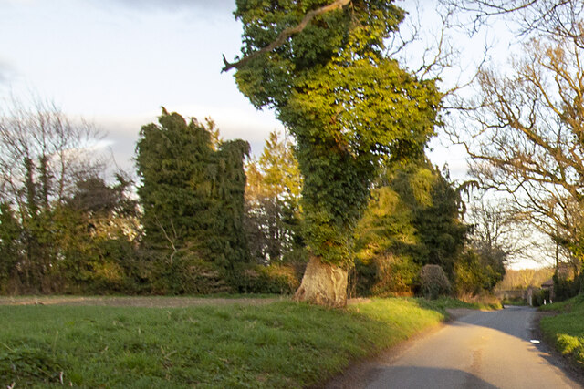
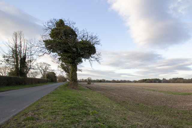
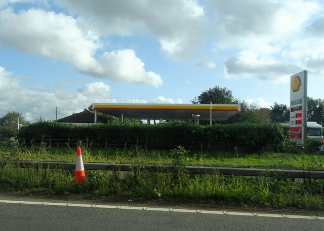
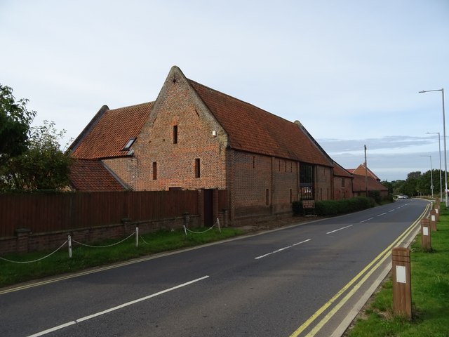
Blofield Corner Images

Images are sourced within 2km of 52.648872/1.4266564 or Grid Reference TG3111. Thanks to Geograph Open Source API. All images are credited.

Hemblington village sign The sign was unveiled on the 25th September 2021. The new sign depicts the Anglo-Saxon All Saints Church and a boot, representing shoemaker Jeremiah Cutton after whom Cutton's Corner, (adjacent to the sign's location) is named. 
As well as the church, the sign illustrates the agricultural nature of the village by a tractor under the trees which themselves represent the various woodlands of the area, with geese in the foreground.
Hemblington village sign
The sign was unveiled on the 25th September 2021. The new sign depicts the Anglo-Saxon All Saints Church and a boot, representing shoemaker Jeremiah Cutton after whom Cutton's Corner, (adjacent to the sign's location) is named. As well as the church, the sign illustrates the agricultural nature of the village by a tractor under the trees which themselves represent the various woodlands of the area, with geese in the foreground.
Hemblington village sign on Hemblington Hall Road The sign was unveiled on the 25th September 2021. The new sign depicts the Anglo-Saxon All Saints Church and a boot, representing shoemaker Jeremiah Cutton after whom Cutton's Corner, (adjacent to the sign's location) is named.
As well as the church, the sign illustrates the agricultural nature of the village by a tractor under the trees which themselves represent the various woodlands of the area, with geese in the foreground. <a title="https://www.geograph.org.uk/photo/6980330" href="https://www.geograph.org.uk/photo/6980330">Link</a>
Hemblington village sign on Hemblington Hall Road
The sign was unveiled on the 25th September 2021. The new sign depicts the Anglo-Saxon All Saints Church and a boot, representing shoemaker Jeremiah Cutton after whom Cutton's Corner, (adjacent to the sign's location) is named. As well as the church, the sign illustrates the agricultural nature of the village by a tractor under the trees which themselves represent the various woodlands of the area, with geese in the foreground. Link
Hemblington village sign The sign was unveiled on the 25th September 2021. The new sign depicts the Anglo-Saxon All Saints Church and a boot, representing shoemaker Jeremiah Cutton after whom Cutton's Corner, (adjacent to the sign's location) is named.
As well as the church, the sign illustrates the agricultural nature of the village by a tractor under the trees which themselves represent the various woodlands of the area, with geese in the foreground.
Hemblington village sign
The sign was unveiled on the 25th September 2021. The new sign depicts the Anglo-Saxon All Saints Church and a boot, representing shoemaker Jeremiah Cutton after whom Cutton's Corner, (adjacent to the sign's location) is named. As well as the church, the sign illustrates the agricultural nature of the village by a tractor under the trees which themselves represent the various woodlands of the area, with geese in the foreground.
Home Farm Converted vernacular farm building at Home Farm
Home Farm
Converted vernacular farm building at Home Farm
Hall Road Hall Road approaching Holly Lane
Hall Road
Hall Road approaching Holly Lane
Woodbastwick Road Fields by Woodbastwick Road
Woodbastwick Road
Fields by Woodbastwick Road
Broadlands service station
Barn conversion on Yarmouth Road
Cycle path beside Yarmouth Road
A47 towards Norwich
A47 towards Norwich
Plantation Road Heading north from Blofield.
Plantation Road
Heading north from Blofield.
Field entrance off Holly Lane
Holly Lane
Holly Lane
Ploughed field, Blofield Heath
Orchard Close, Blofield Heath
Indian Restaurant, Blofield Heath
Woodbastwick Road, Blofield Heath
Heathlands Social Club & Community Centre,  Blofield Heath
Heathlands Social Club & Community Centre, Blofield Heath
Show me another place!

Blofield Corner is located at Grid Ref: TG3111 (Lat: 52.648872, Lng: 1.4266564)

Administrative County: Norfolk

District: Broadland

Police Authority: Norfolk

What 3 Words

///toothpick.resort.oxidation. Near Brundall, Norfolk

Related Wikis

Great and Little Plumstead

Great and Little Plumstead is a civil parish in the English county of Norfolk consisting of the villages of Great Plumstead, Little Plumstead and Thorpe...

Blofield Heath

Blofield Heath is a hamlet in the civil parish of Blofield, in the Broadland district, in the county of Norfolk, England. It is about 7 miles from Norwich...

Blofield

Blofield is a village and civil parish in the Broadland district of Norfolk, England. The parish includes Blofield and the hamlets of Blofield Heath and...

Norwich United F.C.

Norwich United Football Club is a football club based in Blofield, Norfolk, England. Affiliated to the Norfolk County FA, they play at Plantation Park...

Brundall

Brundall is a village and civil parish in the English county of Norfolk. It is located on the north bank of the River Yare opposite Surlingham Broad and...

Brundall Gardens railway station

Brundall Gardens railway station is on the Wherry Lines in the East of England, serving the western side of the village of Brundall, Norfolk. It is 4 miles...

Salhouse

Salhouse is a village and civil parish in the Broads in the English county of Norfolk. It lies south of the River Bure and Salhouse Broad, about 10 kilometres...

Postwick with Witton

Postwick with Witton ( ) is a civil parish on the Broads in the English county of Norfolk, comprising the two adjacent villages of Postwick and Witton...

Related Videos

Tent Shopping In The Rain #NorwichCamping #Kampa

Hi everyone, There's torrential rain here today, so naturally I decide to go tent shopping !! Join me while I look about and try to find ...

CAMPSITE REVIEW ON THE NORFOLK BROADS,VISITING SALHOUSE AND RANWORTH BROAD 🚐👍

campervanadventures #campsite #campsitereview IN THIS VIDEO WE STAY ON BLACK BARN FARM CAMPSITE IN ...

Food & Habit App ( Dashboard overview)

The food and habit tracker The features of the app Body weight/Rest heartrate/Steps/Caloric intake tracker. The App syncs with the ...

Nearby Amenities

Located within 500m of 52.648872,1.4266564
Power: pole
Lat/Long: 52.6516433/1.425256
Power: pole
Lat/Long: 52.651361/1.4242756
Power: pole
Lat/Long: 52.6491813/1.4218388
Power: pole
Lat/Long: 52.647589/1.4201745
Power: pole
Lat/Long: 52.6483693/1.4210208
Power: pole
Lat/Long: 52.6498932/1.4226717
Power: pole
Lat/Long: 52.6506336/1.4234951
Power: pole
Lat/Long: 52.6526147/1.4288931
Power: pole
Lat/Long: 52.6520648/1.4262109
Power: pole
Lat/Long: 52.6524797/1.427155
Power: pole
Lat/Long: 52.6527172/1.4270182
Communication Radio: yes
Communication Television: yes
Man Made: mast
Material: metal
Note: Hosts multiple antennas for receiving only
Tower Construction: lattice
Tower Type: communication
Lat/Long: 52.6499814/1.4275548
Post Box
Operator: Royal Mail
Post Box Mounting: pier
Post Box Type: lamp
Royal Cypher: EIIR
Royal Cypher Wikidata: Q33102113
Lat/Long: 52.6490099/1.4267582
Generator Method: photovoltaic
Generator Output Electricity: yes
Generator Source: solar
Generator Type: solar_photovoltaic_panel
Location: roof
Power: generator
Lat/Long: 52.6500644/1.4248618
Generator Method: photovoltaic
Generator Output Electricity: yes
Generator Source: solar
Generator Type: solar_photovoltaic_panel
Location: roof
Power: generator
Lat/Long: 52.648372/1.4293519
Generator Method: photovoltaic
Generator Output Electricity: yes
Generator Source: solar
Generator Type: solar_photovoltaic_panel
Location: roof
Power: generator
Lat/Long: 52.6483476/1.4292794
Generator Method: photovoltaic
Generator Output Electricity: yes
Generator Source: solar
Generator Type: solar_photovoltaic_panel
Location: roof
Power: generator
Lat/Long: 52.64811/1.4311919
Generator Method: photovoltaic
Generator Output Electricity: yes
Generator Source: solar
Generator Type: solar_photovoltaic_panel
Location: roof
Power: generator
Lat/Long: 52.6490181/1.4319026
Generator Method: photovoltaic
Generator Output Electricity: yes
Generator Source: solar
Generator Type: solar_photovoltaic_panel
Location: roof
Power: generator
Lat/Long: 52.6493175/1.4322862
The data included in this document is from www.openstreetmap.org. The data is made available under ODbL.

Have you been to Blofield Corner?

Leave your review of Blofield Corner below (or comments, questions and feedback).