Walland Marsh

Coastal Marsh, Saltings in Kent Shepway

England

Walland Marsh

Bow Bridge Crossing White Kemp Sewer near Baynharm Farm the green of the reed beds splitting the gold of the newly harvested fields.
Bow Bridge Credit: Simon Carey

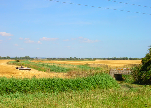
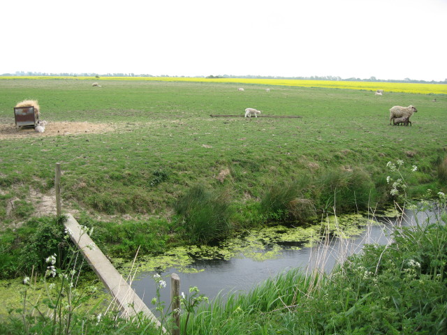
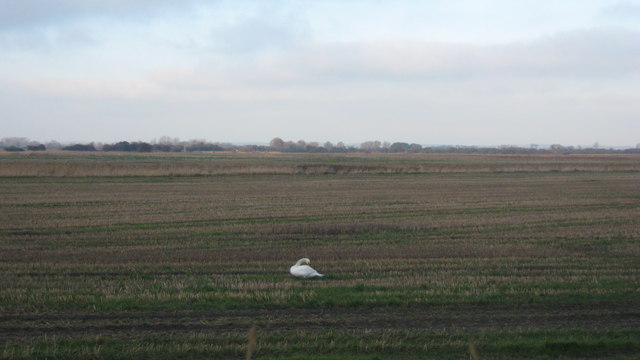
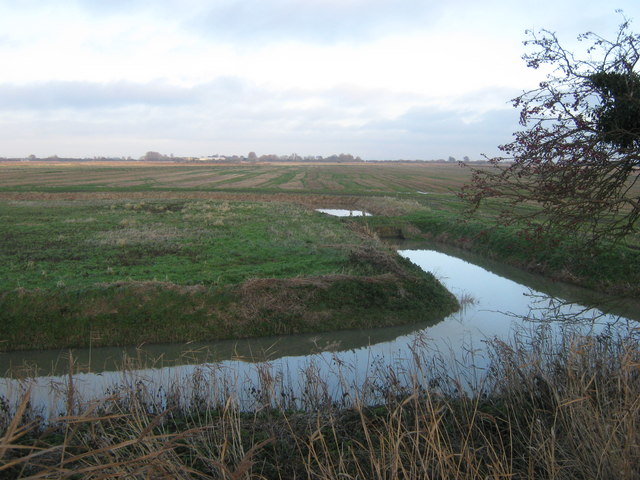
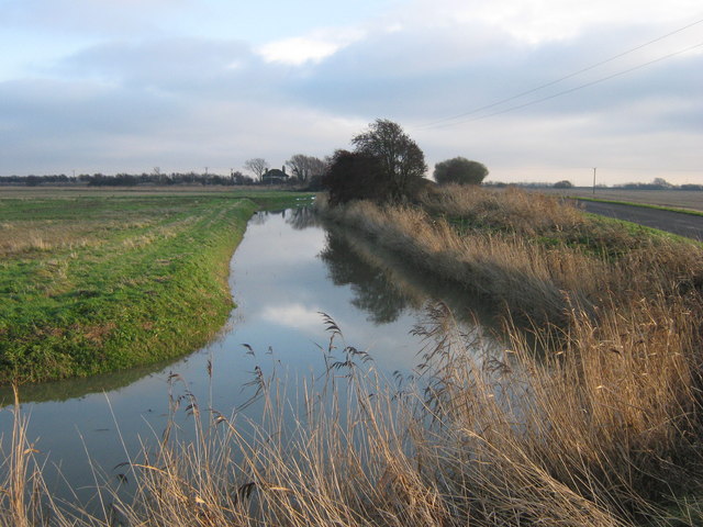
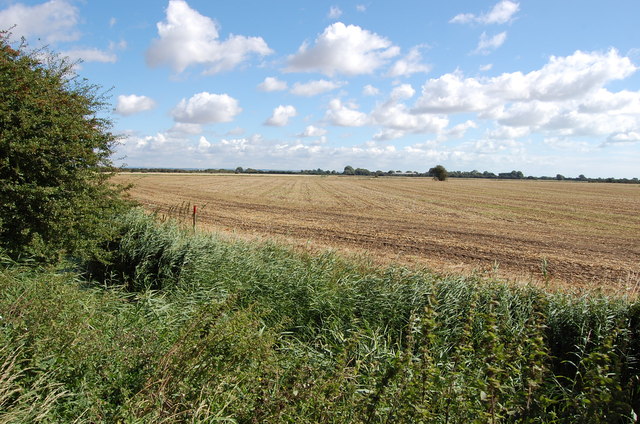
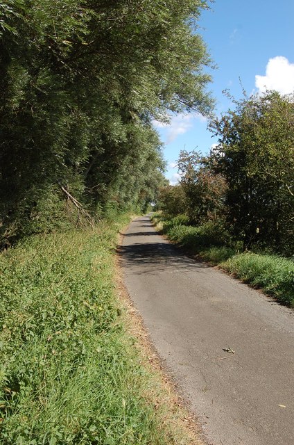
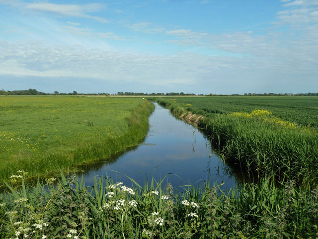
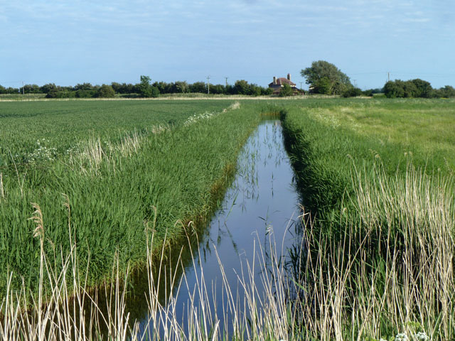
Walland Marsh is a coastal marsh and saltings located in Kent, England. It is a vast expanse of flat, low-lying land that is surrounded by the English Channel to the south and the Romney Marsh to the north. The marsh is characterized by its rich biodiversity, with a variety of plant and animal species thriving in the unique coastal environment.

The marsh is predominantly covered in salt marsh grasses and other vegetation that is able to withstand the high salt levels in the soil. This vegetation provides important habitat for a range of bird species, including wading birds such as redshanks and lapwings, as well as waterfowl like teal and shelducks.

In addition to its ecological importance, Walland Marsh also plays a key role in flood protection for the surrounding areas. The marsh acts as a natural buffer against storm surges and high tides, helping to reduce the risk of flooding in the nearby towns and villages.

Overall, Walland Marsh is a valuable and diverse ecosystem that provides important habitat for wildlife, as well as serving a crucial function in protecting the local area from flooding.

If you have any feedback on the listing, please let us know in the comments section below.

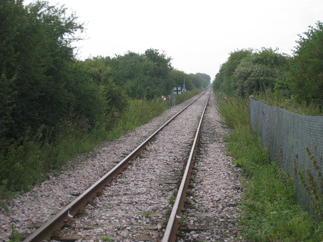
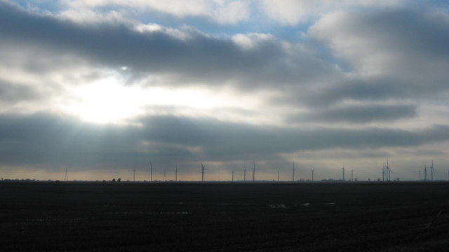
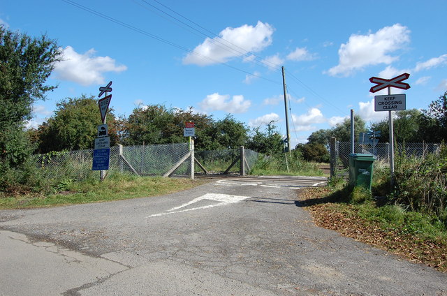
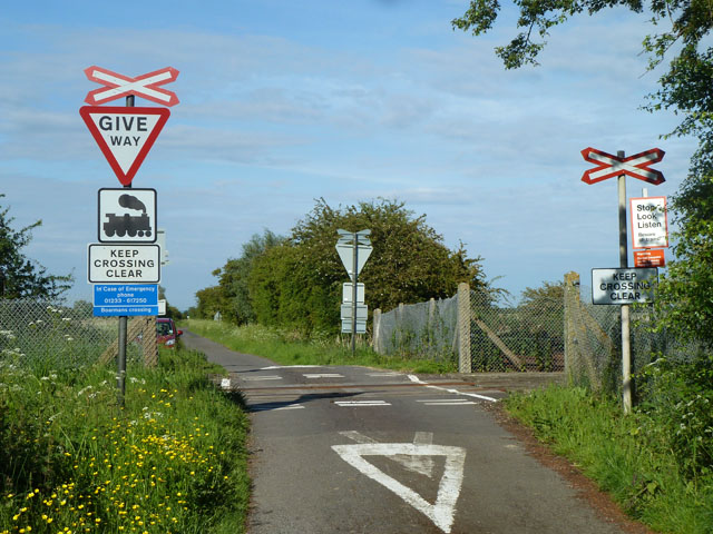
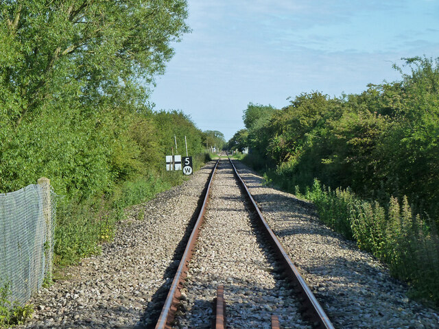
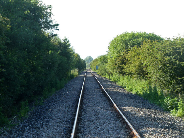
Walland Marsh Images

Images are sourced within 2km of 50.988042/0.82885214 or Grid Reference TQ9824. Thanks to Geograph Open Source API. All images are credited.

Bow Bridge Crossing White Kemp Sewer near Baynharm Farm the green of the reed beds splitting the gold of the newly harvested fields.
Bow Bridge
Crossing White Kemp Sewer near Baynharm Farm the green of the reed beds splitting the gold of the newly harvested fields.
St Thomas's Innings (Drain) and sheep on Romney Marsh
Railway track across Romney Marsh viewed from Tillery Crossing
Tillery Crossing
Tillery Crossing
Dungeness Branch Line Viewed from Tillery Lane crossing.
Dungeness Branch Line
Viewed from Tillery Lane crossing.
Swan in the Romney Marshes As seen from Hook Wall, across White Kemp Sewer.
Swan in the Romney Marshes
As seen from Hook Wall, across White Kemp Sewer.
View of Sun and Moon over Little Cheyne Court Wind Farm As seen from Hook Wall near Bayham Farm.

The moon is just peeking out under a cloud above the sun, on the left.
View of Sun and Moon over Little Cheyne Court Wind Farm
As seen from Hook Wall near Bayham Farm. The moon is just peeking out under a cloud above the sun, on the left.
St. Thomas's Innings Drainage Channel This drainage channel leads from the White Kemp Sewer along Millbank  Lane towards Brookland.
St. Thomas's Innings Drainage Channel
This drainage channel leads from the White Kemp Sewer along Millbank Lane towards Brookland.
White Kemp Sewer As seen from <a href="https://www.geograph.org.uk/photo/1539527">TQ9923 : Ashentree Bridge</a>. Hook Wall is on the right.
This wide drainage channel leads from the Puddledock Sewer towards Lydd.
Baynham Farm is in the background.
White Kemp Sewer
As seen from TQ9923 : Ashentree Bridge. Hook Wall is on the right. This wide drainage channel leads from the Puddledock Sewer towards Lydd. Baynham Farm is in the background.
Farmland off Ashentree Lane
Ashentree Lane
Ashentree Lane
Railway line to Dungeness I've never seen a train on it!
Railway line to Dungeness
I've never seen a train on it!
Tillery Level Crossing No barriers or gates due to the almost non existent trains.
Tillery Lane crosses here.
Tillery Level Crossing
No barriers or gates due to the almost non existent trains. Tillery Lane crosses here.
Boarmans Crossing Tickner's Lane crosses the Dungeness branch, now only used by nuclear flask trains for Dungeness power station.
Boarmans Crossing
Tickner's Lane crosses the Dungeness branch, now only used by nuclear flask trains for Dungeness power station.
Coldharbour Petty Sewer Looking from Ashentree Lane.
Coldharbour Petty Sewer
Looking from Ashentree Lane.
St. Thomas's Innings A minor sewer heading here towards Baynam Farm.
St. Thomas's Innings
A minor sewer heading here towards Baynam Farm.
Dungeness branch line towards Dungeness Now only used by nuclear flask trains for Dungeness power station. A view from Boarmans Crossing on Tickner's Lane which has no gates. The 5 mph limit and whistle sign are for the next similar crossing at Tillery Lane.
Dungeness branch line towards Dungeness
Now only used by nuclear flask trains for Dungeness power station. A view from Boarmans Crossing on Tickner's Lane which has no gates. The 5 mph limit and whistle sign are for the next similar crossing at Tillery Lane.
Dungeness branch line towards Appledore Now only used by nuclear flask trains for Dungeness power station. A view from Boarmans Crossing on Tickner's Lane which has no gates.
Dungeness branch line towards Appledore
Now only used by nuclear flask trains for Dungeness power station. A view from Boarmans Crossing on Tickner's Lane which has no gates.
Show me another place!

Walland Marsh is located at Grid Ref: TQ9824 (Lat: 50.988042, Lng: 0.82885214)

Administrative County: Kent

District: Shepway

Police Authority: Kent

What 3 Words

///marine.marble.mugs. Near Stone, Kent

Nearby Locations

Walland Marsh

Related Wikis

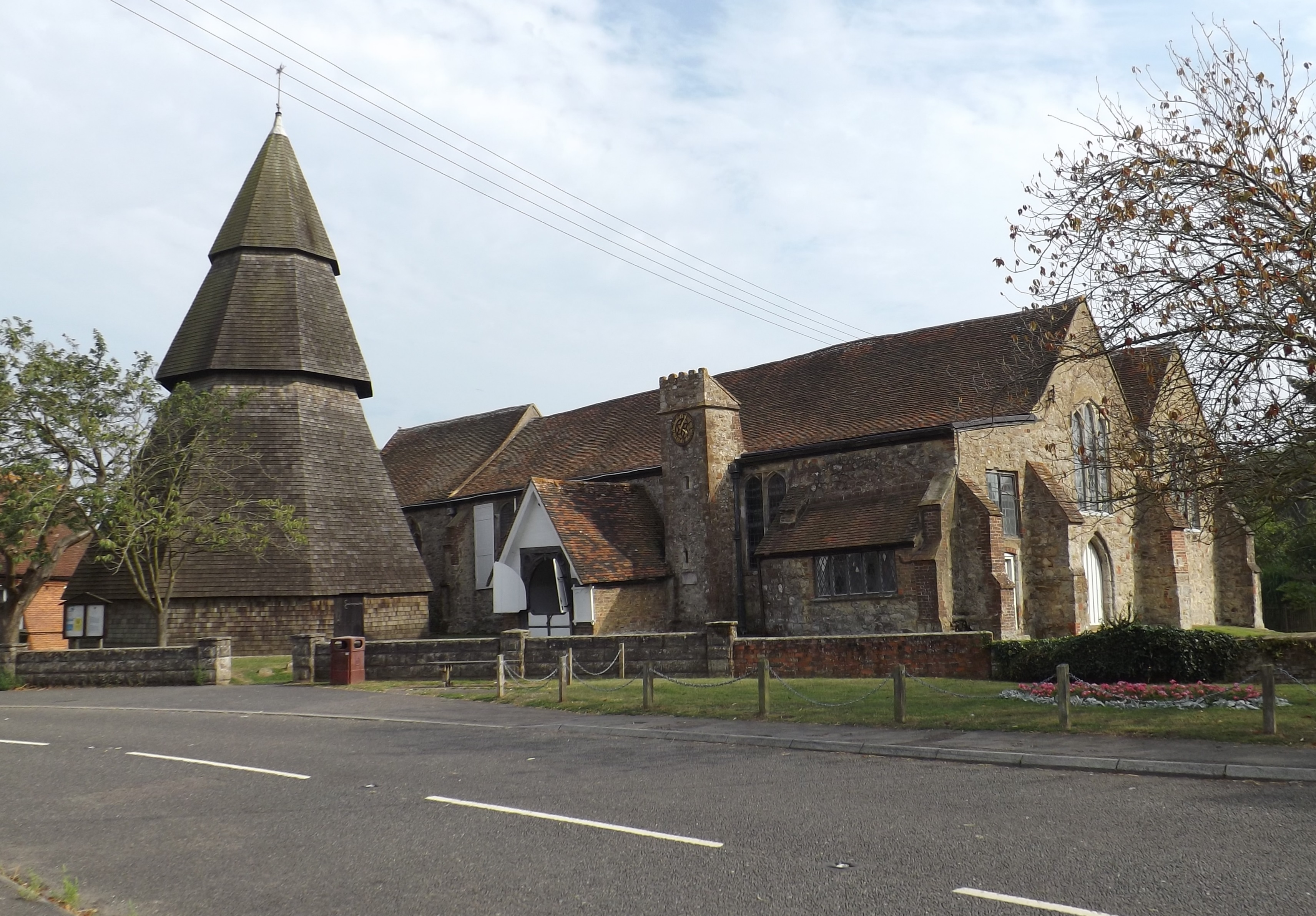
St Augustine's Church, Brookland

St Augustine's Church is a Grade I listed Anglican church in the village of Brookland, Kent, in Walland Marsh, about 5 miles (8.0 km) north-east of Rye...

Brookland, Kent

Brookland is a village and civil parish in the Folkestone and Hythe district of Kent, England, about 5 miles (8 km) west of New Romney. According to the...

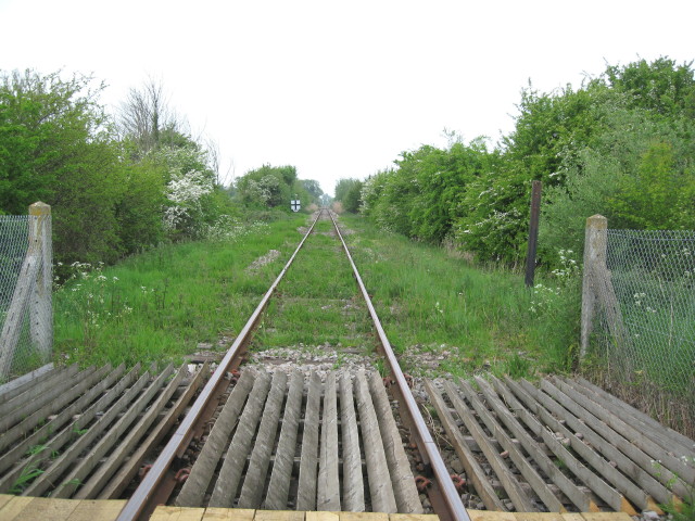
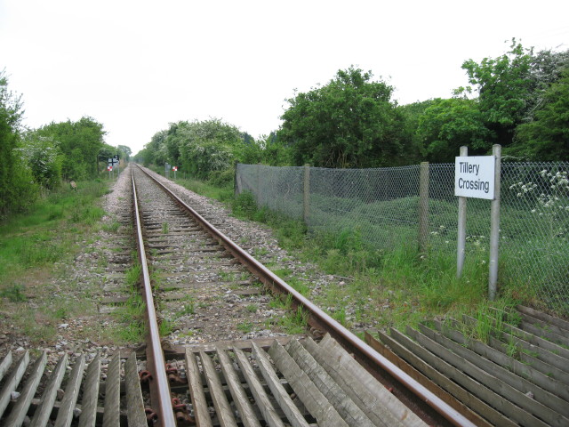
Brookland Halt railway station

Brookland Halt was a railway station which served the village of Brookland in Kent, England. The station opened in 1881 and closed in 1967. == History... ==

Walland Marsh

Walland Marsh is a part of Romney Marsh, mostly in Kent with part in East Sussex. The name means wall-land: its north-eastern border, separating it from...

Nearby Amenities

Located within 500m of 50.988042,0.82885214
Give Way
Direction: forward
Lat/Long: 50.9887353/0.8261629
Give Way
Direction: backward
Lat/Long: 50.9888256/0.8267664
The data included in this document is from www.openstreetmap.org. The data is made available under ODbL.

Have you been to Walland Marsh?

Leave your review of Walland Marsh below (or comments, questions and feedback).