Hare's Creek
Sea, Estuary, Creek in Suffolk Babergh
England
Hare's Creek
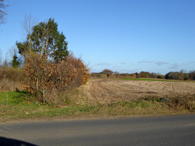
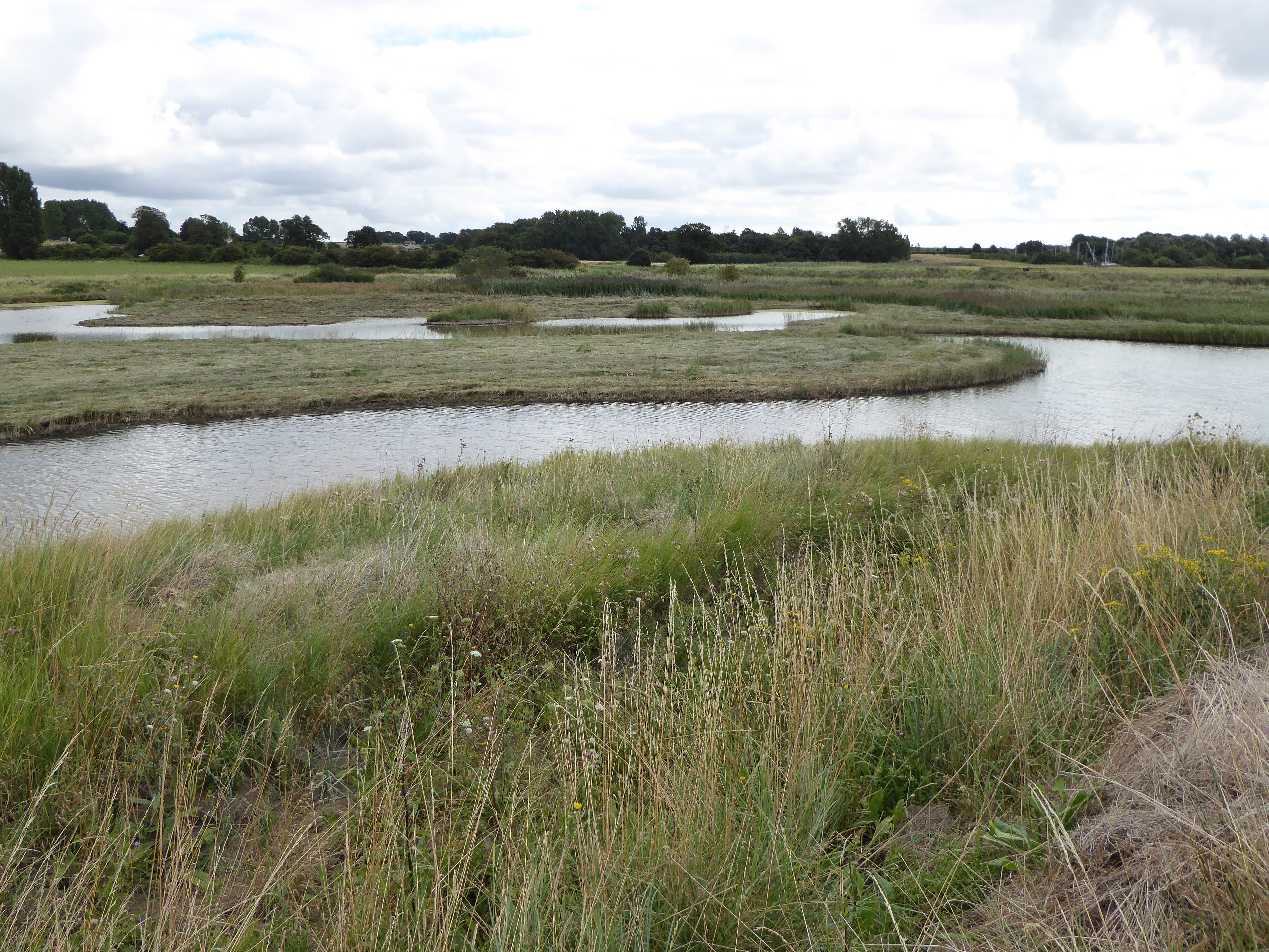
Hare's Creek is a picturesque waterway located in the county of Suffolk, England. It is situated along the eastern coast of the country, flowing into the North Sea. The creek is formed by the convergence of several smaller streams and rivers, creating a unique estuarine environment that is home to a diverse range of flora and fauna.
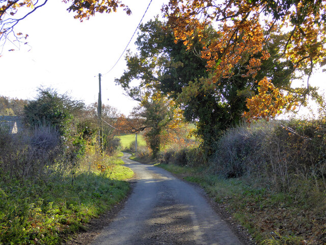
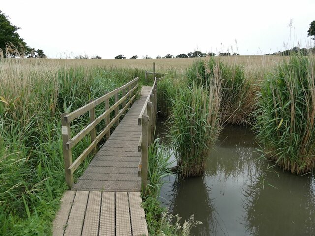
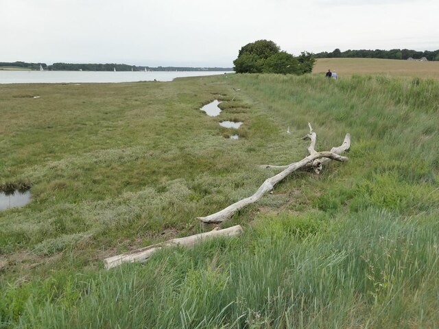
The creek's meandering path through the Suffolk countryside offers stunning views of the surrounding landscape. Lush greenery lines its banks, with reeds and grasses swaying gently in the breeze. The water itself is generally calm and serene, reflecting the beauty of the surrounding area.
The estuary of Hare's Creek is a vital habitat for numerous species of birds and marine life. It provides a feeding ground for wading birds such as herons and egrets, while its muddy shores attract various types of coastal wildlife. The creek is also known for its rich fish population, making it a popular spot for anglers.
Recreational activities are common along Hare's Creek. Many visitors enjoy boating and kayaking, taking advantage of the calm waters and scenic surroundings. The creek is also a popular spot for nature walks and birdwatching, with several designated trails and observation points along its shores.
Hare's Creek is not only a natural haven but also holds historical significance. It has been used for centuries as a transportation route for goods and people, and remnants of old wharves can still be seen along its banks, serving as a reminder of its past importance.
Overall, Hare's Creek is a serene and beautiful waterway that offers both natural and historical attractions, making it a cherished destination for locals and tourists alike.
If you have any feedback on the listing, please let us know in the comments section below.
Hare's Creek Images
Images are sourced within 2km of 51.990416/1.2482595 or Grid Reference TM2337. Thanks to Geograph Open Source API. All images are credited.


Hare's Creek is located at Grid Ref: TM2337 (Lat: 51.990416, Lng: 1.2482595)
Administrative County: Suffolk
District: Babergh
Police Authority: Suffolk
What 3 Words
///letter.dignify.rich. Near Shotley Gate, Suffolk
Nearby Locations
Related Wikis
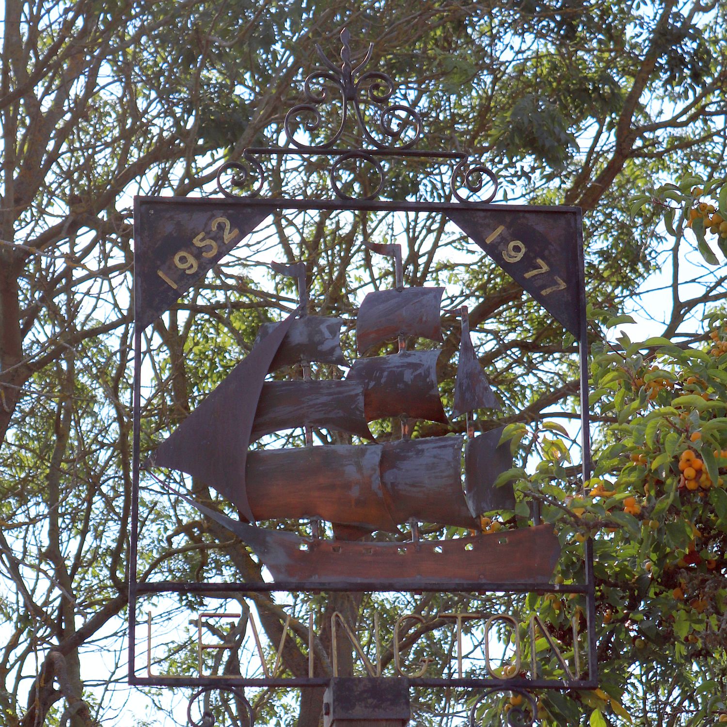
Levington
Levington is a small village in the county of Suffolk, England in the East Suffolk district. The population of the parish including Stratton Hall at the...
Levington Lagoon
Levington Lagoon is a 5 hectare nature reserve south-east of Levington in Suffolk. It is owned by Suffolk Yacht Harbour Ltd and managed by the Suffolk...

Orwell Estuary
Orwell Estuary is a 1,335.7 hectare biological Site of Special Scientific Interest which stretches along the River Orwell and its banks between Felixstowe...

Broke Hall
Broke Hall is an English country house at Nacton, near Ipswich, Suffolk. It overlooks the River Orwell, opposite Pin Mill. The gardens were landscaped...
Nearby Amenities
Located within 500m of 51.990416,1.2482595Have you been to Hare's Creek?
Leave your review of Hare's Creek below (or comments, questions and feedback).