Boathouse Creek
Sea, Estuary, Creek in Essex Tendring
England
Boathouse Creek
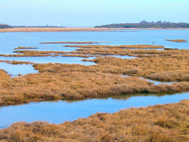
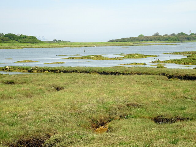
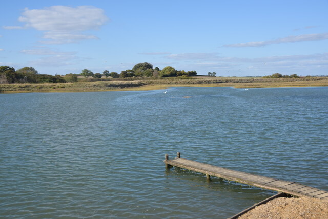
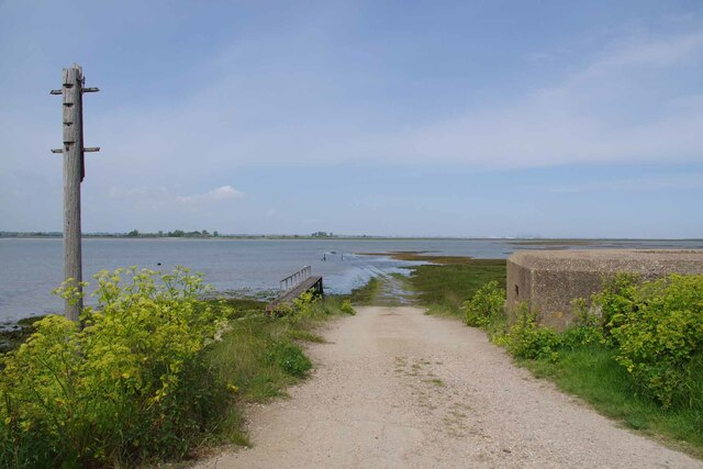
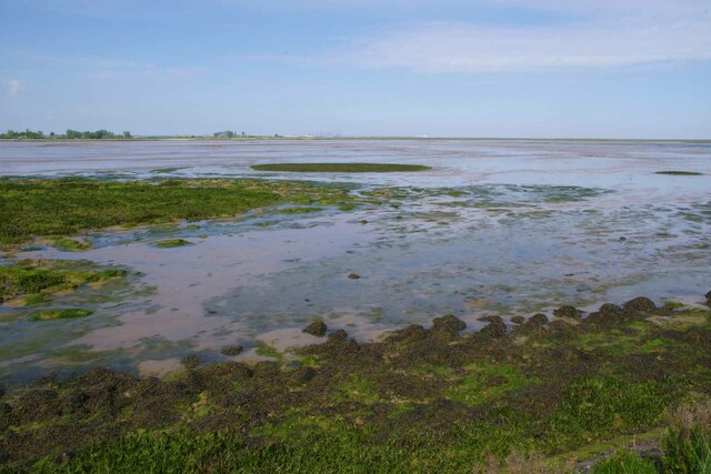
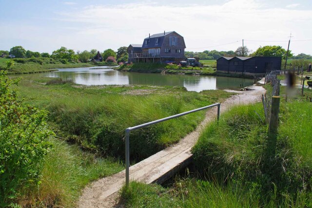
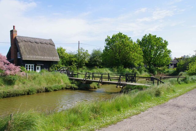
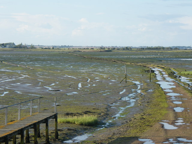
Boathouse Creek is a picturesque waterway located in Essex, England. It is characterized by its unique combination of a sea, estuary, and creek, making it a diverse and important ecosystem.
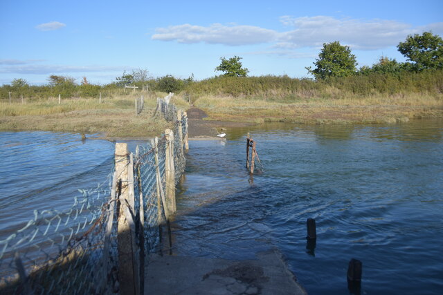
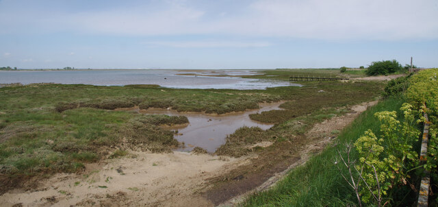
Situated along the coast, Boathouse Creek opens up to the North Sea, allowing for a constant flow of saltwater into its estuary. This influx of seawater creates a brackish environment, where freshwater and saltwater mix. As a result, the creek is home to a wide variety of marine life, including fish, crabs, and waterfowl.
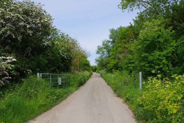
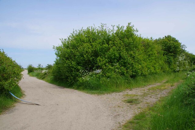
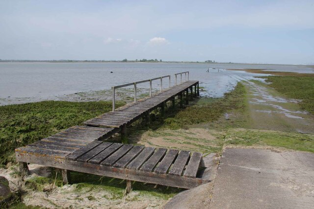
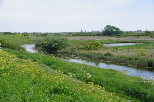
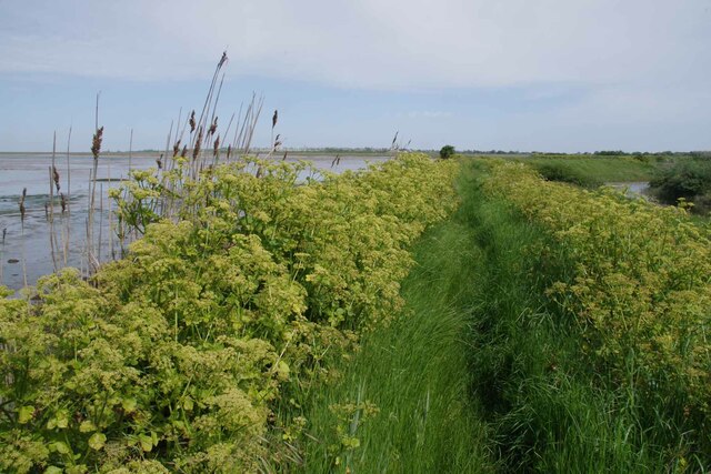
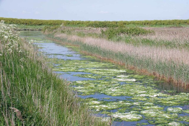
The creek itself is relatively narrow, meandering through marshes and mudflats. The surrounding landscape is a mix of grassy banks, reeds, and small wooded areas. Boathouse Creek is also known for its vibrant plant life, with saltmarsh vegetation lining its banks and providing habitat for numerous species.
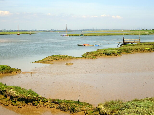
Due to its location and diverse ecosystem, Boathouse Creek is a popular spot for recreational activities such as boating, fishing, and birdwatching. The calm waters and serene surroundings make it an ideal place for kayaking and paddleboarding.
In addition to its natural beauty, Boathouse Creek also has historical significance. It was once a bustling hub for fishing and trade, with numerous boathouses lining its banks. While many of these boathouses have since been converted into private residences, their presence adds a sense of charm and character to the area.
Overall, Boathouse Creek in Essex offers a unique blend of sea, estuary, and creek, making it a haven for nature enthusiasts and a cherished part of the local community.
If you have any feedback on the listing, please let us know in the comments section below.
Boathouse Creek Images
Images are sourced within 2km of 51.869189/1.2369389 or Grid Reference TM2223. Thanks to Geograph Open Source API. All images are credited.
Boathouse Creek is located at Grid Ref: TM2223 (Lat: 51.869189, Lng: 1.2369389)
Administrative County: Essex
District: Tendring
Police Authority: Essex
What 3 Words
///easygoing.alleges.unpainted. Near Walton-on-the-Naze, Essex
Nearby Locations
Related Wikis
Horsey Island
Horsey Island is an island in the parish of Thorpe-le-Soken, Essex. It lies in Hamford Water and is part of the Hamford Water National Nature Reserve,...

Harwich (UK Parliament constituency)
Harwich was a parliamentary constituency represented in the House of Commons of the Parliament of the United Kingdom until its abolition for the 2010...

Skipper's Island
Skipper's Island is a 94.3-hectare (233-acre) nature reserve north of Kirby-le-Soken in Essex, England. It is owned and managed by the Essex Wildlife Trust...

Hamford Water
Hamford Water is a 2,185.8-hectare (5,401-acre) biological Site of Special Scientific Interest between Walton-on-the-Naze and Harwich in Essex. The site...

The Sokens
The Sokens is a name often used to describe the area containing the traditional parishes of Thorpe, Kirby and Walton, which now lie in Tendring district...
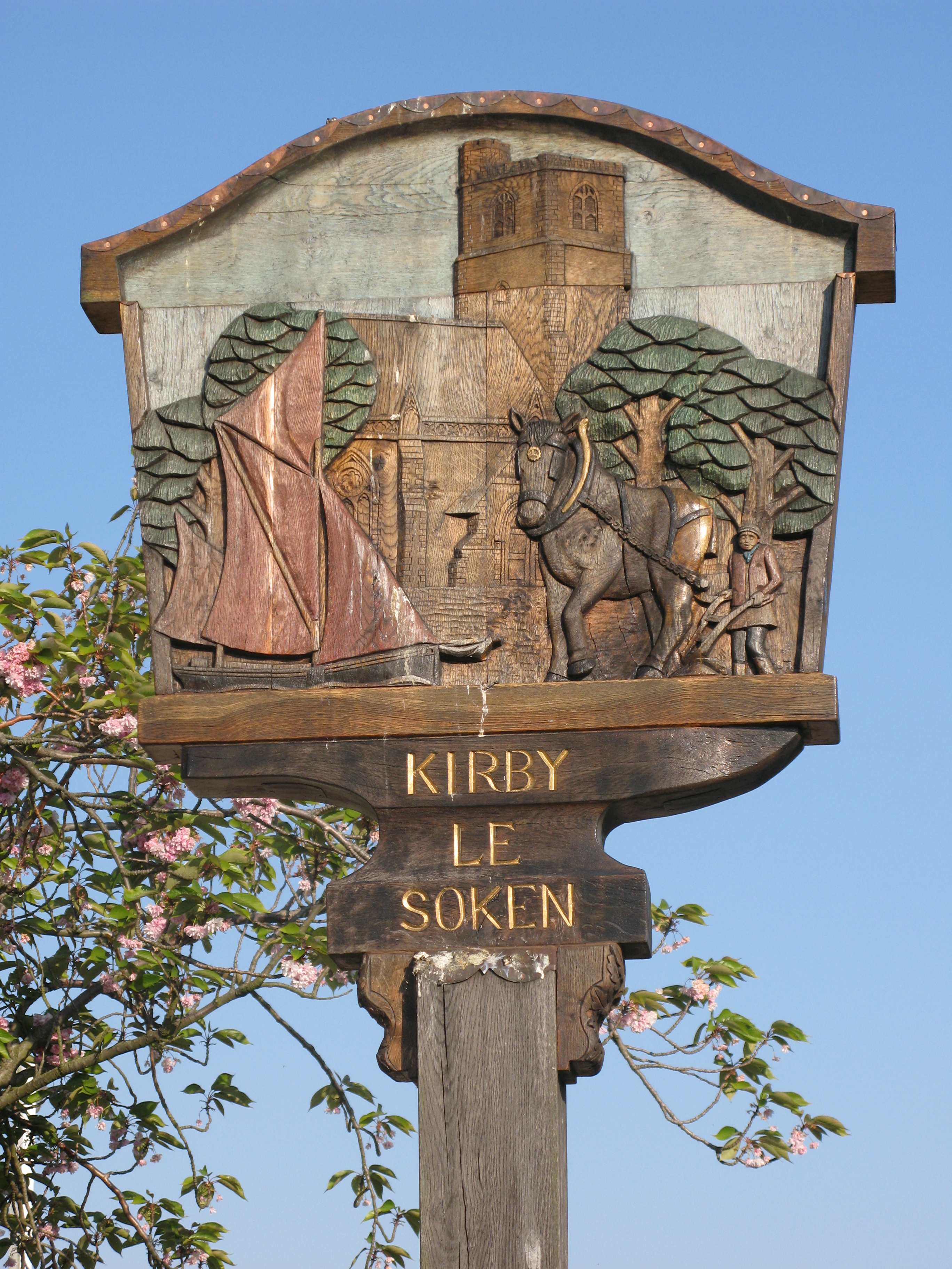
Kirby-le-Soken
Kirby-le-Soken is a village and former civil parish, now in the parish of Frinton and Walton, in the Tendring district of North East Essex, England, which...

Pewit Island
Pewit Island is an uninhabited island at the north of Hamford Water off the coast of the English county of Essex. The nearest town is the port of Harwich...
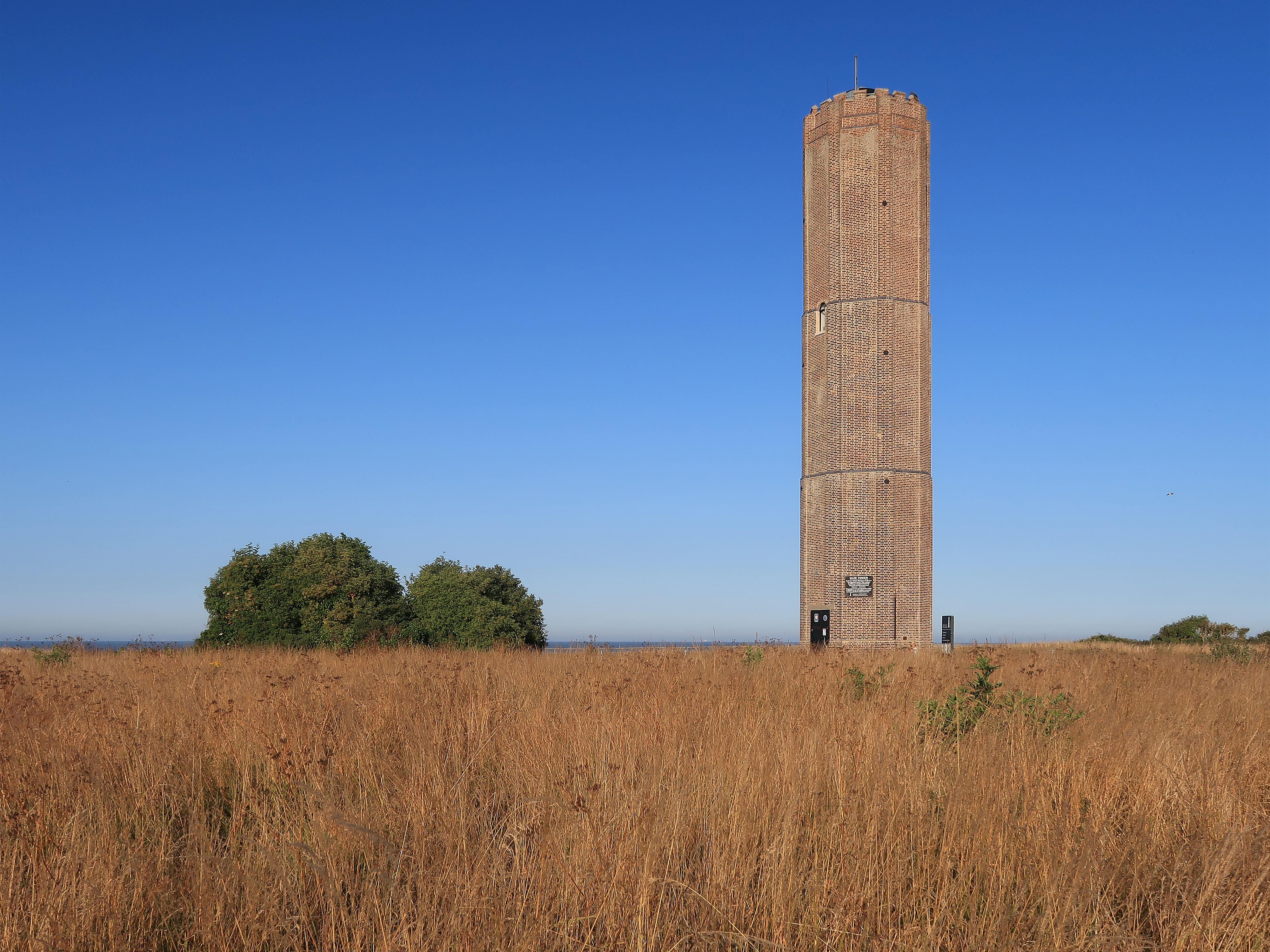
Naze Tower
The Hanoverian tower, more commonly known as the Naze Tower, is situated at the start of the open area of the Naze. It was a navigational tower, constructed...
Related Videos
Walton On The Naze Trip #youtubeshorts
views of walton on the naze 2023 #2023 #waltononthenaze #holiday.

Shine On to walking around places that my mum took me in the 1980s,I can still see my mum here now!
Shine On to walking around places that my mum took me in the 1980s,The backlands Walton on the Naze I can still see my mum ...
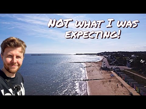
I Was SURPRISED - My Visit To WALTON-ON-THE-NAZE In Essex!
Welcome to the last hurrah of Summer as I explore the sunny seaside town of Walton-on-the-Naze in Essex. In this 4k walking tour ...
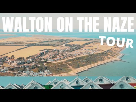
Why You SHOULD Visit Walton On The Naze, Essex
Let's Explore Walton on the Naze as i walk along The Beach, Walton Pier, Naze Tower and what I like to call Beach Hut City!
Have you been to Boathouse Creek?
Leave your review of Boathouse Creek below (or comments, questions and feedback).