Barge Creek
Sea, Estuary, Creek in Essex Tendring
England
Barge Creek
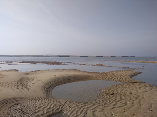
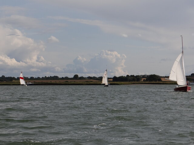
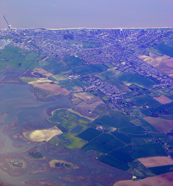
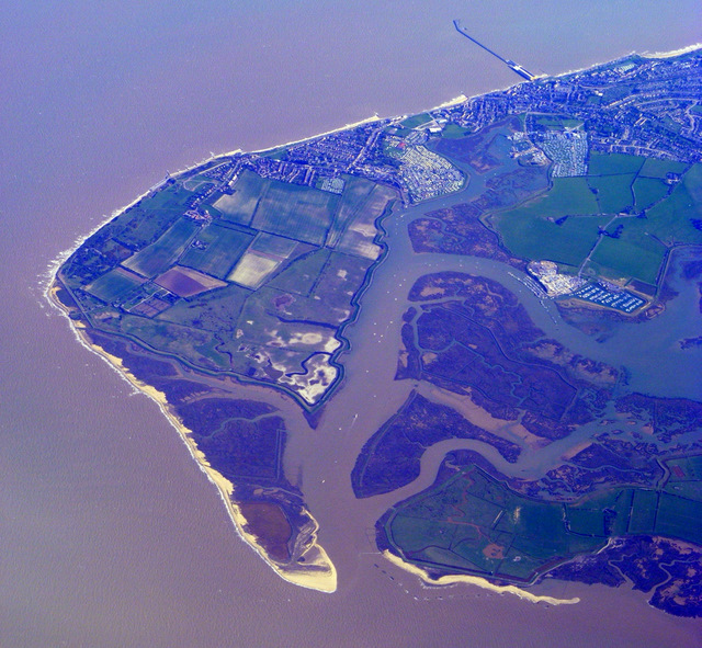
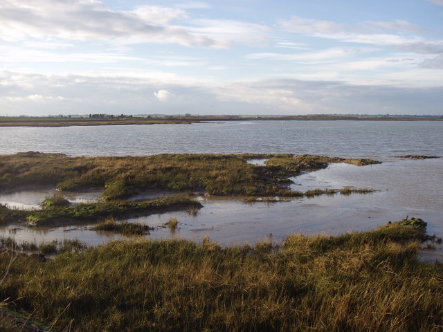
Barge Creek is a small waterway located in the county of Essex, England. It is situated on the eastern coast of the country, near the North Sea. Barge Creek is primarily known for its estuarine nature, as it serves as a connection between the sea and the mainland.
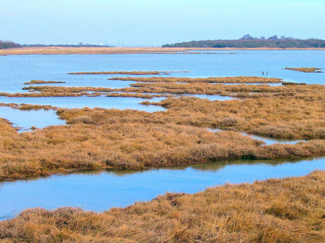
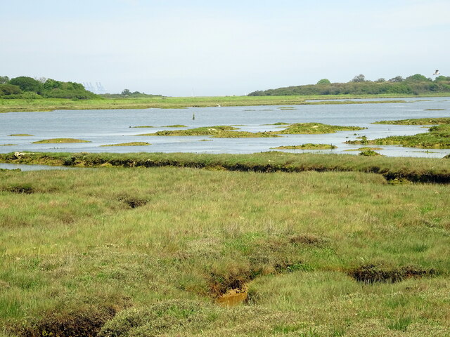
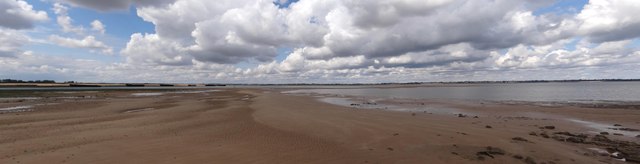
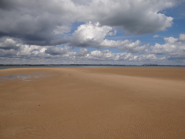
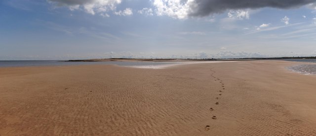
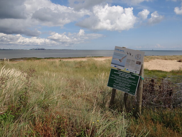
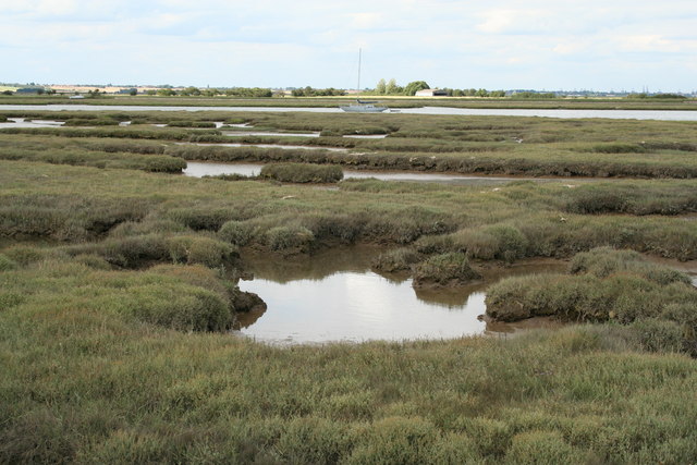
The creek spans approximately 1.5 miles in length and is characterized by its meandering course. It winds its way through picturesque marshlands and mudflats, creating a diverse and dynamic ecosystem. The surrounding area is rich in wildlife, with numerous species of birds, fish, and invertebrates inhabiting the creek and its surrounding wetlands.
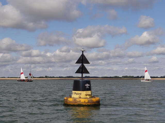
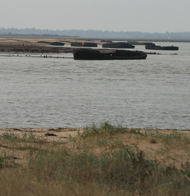
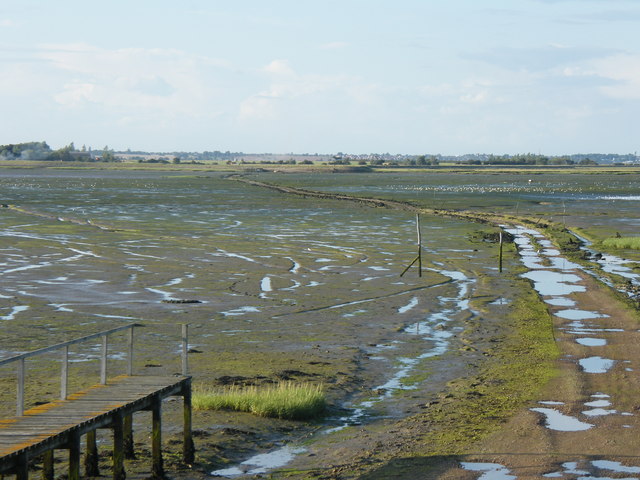
The tidal nature of Barge Creek is an essential aspect of its ecosystem. The rise and fall of the tides influence the water flow, creating a unique habitat for both marine and terrestrial creatures. During high tide, the creek is filled with seawater, attracting various marine species such as crabs, shrimps, and small fish. As the tide recedes, the creek transforms into a mudflat, providing feeding grounds for wading birds like herons and egrets.
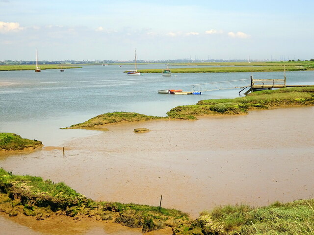
Barge Creek also holds historical significance in the area. In the past, it served as an important transportation route for barges, hence its name. These shallow-draft vessels would navigate the creek, transporting goods and materials to nearby towns and villages.
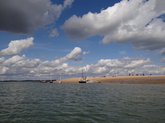
Overall, Barge Creek offers a beautiful and diverse natural environment, combining the elements of the sea, estuary, and creek. It provides a haven for wildlife and serves as a recreational space for locals and visitors alike, who can enjoy activities such as birdwatching, fishing, and boating in this tranquil and scenic waterway.
If you have any feedback on the listing, please let us know in the comments section below.
Barge Creek Images
Images are sourced within 2km of 51.881903/1.2377221 or Grid Reference TM2225. Thanks to Geograph Open Source API. All images are credited.
Barge Creek is located at Grid Ref: TM2225 (Lat: 51.881903, Lng: 1.2377221)
Administrative County: Essex
District: Tendring
Police Authority: Essex
What 3 Words
///powering.treat.fame. Near Walton-on-the-Naze, Essex
Nearby Locations
Related Wikis

Hamford Water
Hamford Water is a 2,185.8-hectare (5,401-acre) biological Site of Special Scientific Interest between Walton-on-the-Naze and Harwich in Essex. The site...
Horsey Island
Horsey Island is an island in the parish of Thorpe-le-Soken, Essex. It lies in Hamford Water and is part of the Hamford Water National Nature Reserve,...

Pewit Island
Pewit Island is an uninhabited island at the north of Hamford Water off the coast of the English county of Essex. The nearest town is the port of Harwich...

Skipper's Island
Skipper's Island is a 94.3-hectare (233-acre) nature reserve north of Kirby-le-Soken in Essex, England. It is owned and managed by the Essex Wildlife Trust...

Harwich (UK Parliament constituency)
Harwich was a parliamentary constituency represented in the House of Commons of the Parliament of the United Kingdom until its abolition for the 2010...

The Sokens
The Sokens is a name often used to describe the area containing the traditional parishes of Thorpe, Kirby and Walton, which now lie in Tendring district...
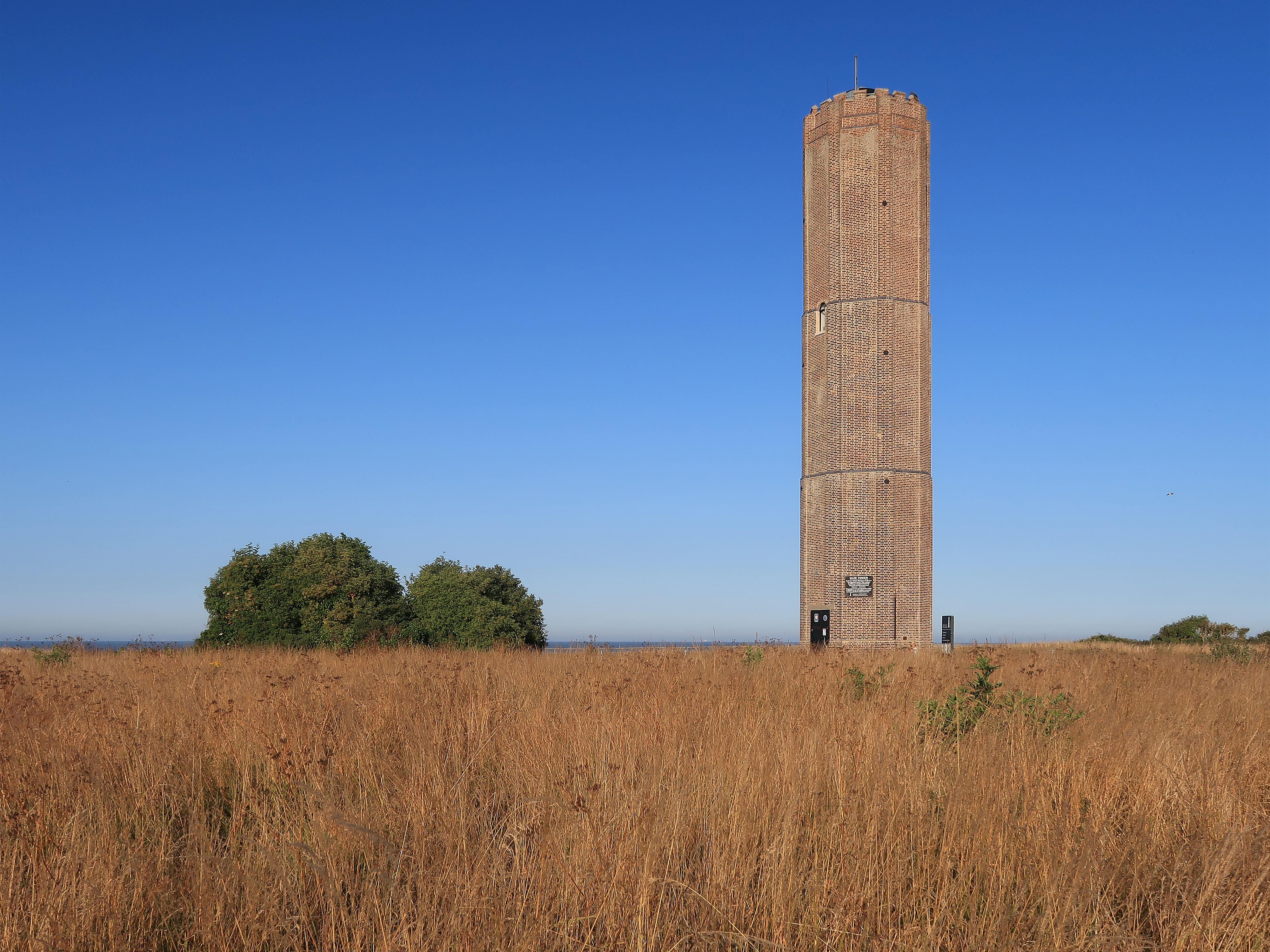
Naze Tower
The Hanoverian tower, more commonly known as the Naze Tower, is situated at the start of the open area of the Naze. It was a navigational tower, constructed...

The Naze
The Naze is a headland on the east coast of England. It is on the coast of Essex just north of Blackwater and projects into the North Sea. This area is...
Related Videos

Harwich to Hamford Water Nature Reserve: Seal Colony Boat Trip
A vlog of our boat trip to visit the Seal Colony at Hamford Water nature Reserve from Harwich, Essex. We left Harwich Ha'Penny ...
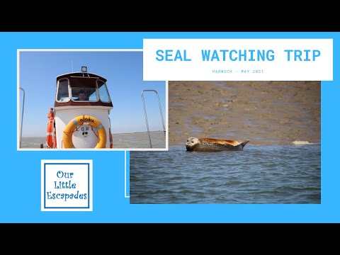
Seal Watching Trip Harwich - Hamford Water Nature Reserve - Private Seal Watching Tour
We booked a private hire seal watching tour with Seal Watching Harwich. Splitting the cost with our friends made this option very ...

Abandoned Boat Walk, Walton-on-the-Naze, Essex.
Not long now until lockdown is eased abit now and we can get back out there again in the way we want to! In the mean time here's ...
Have you been to Barge Creek?
Leave your review of Barge Creek below (or comments, questions and feedback).