Deep Bottom
Valley in Sussex
England
Deep Bottom
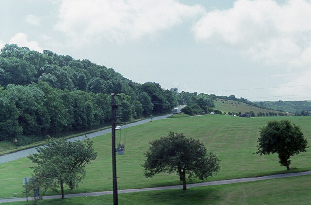
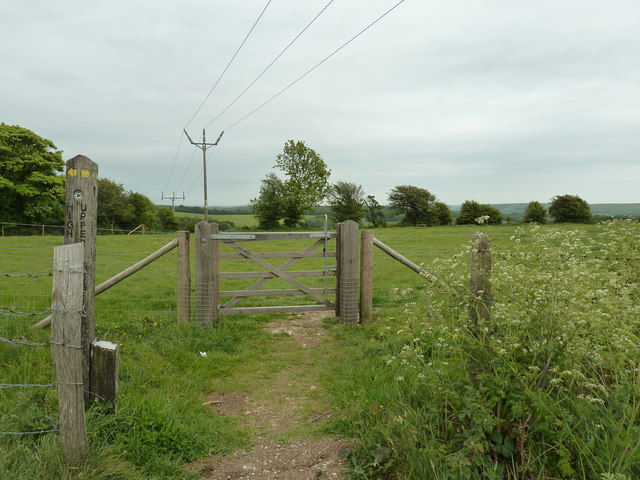
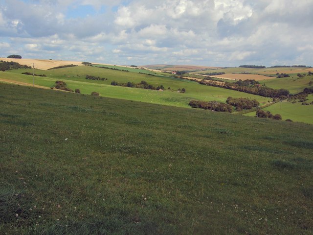
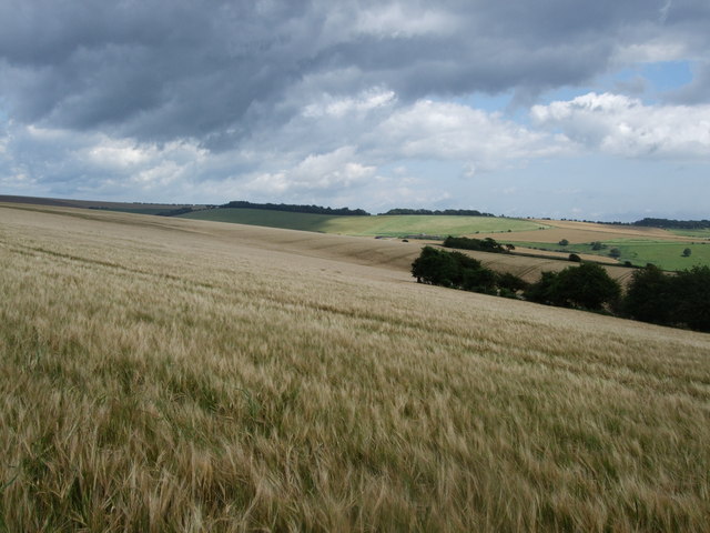
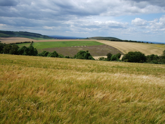
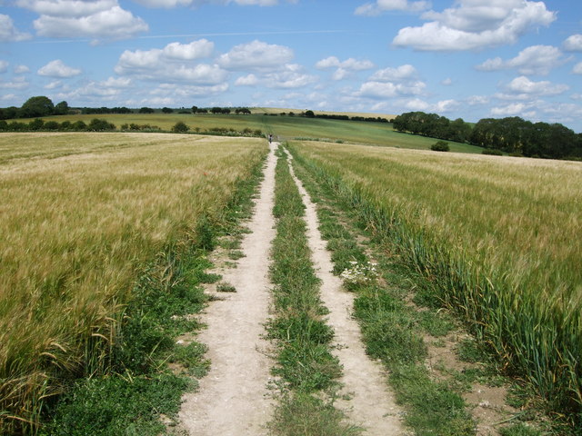
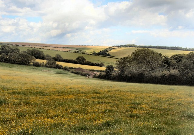
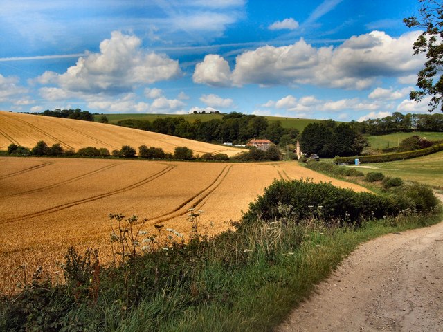
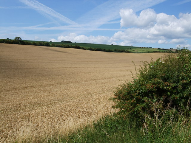
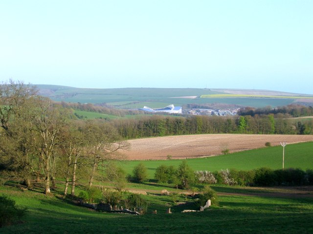
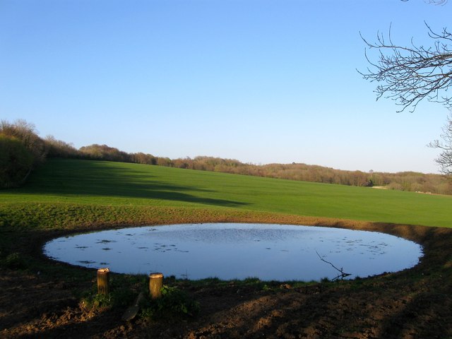
Deep Bottom is a small rural community located in the heart of Sussex Valley, Virginia. Situated along the banks of the James River, this area is known for its picturesque views and tranquil atmosphere. The landscape is characterized by rolling hills, lush forests, and fertile farmland.
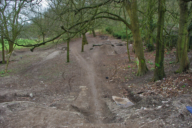
The community itself consists of a mix of historic homes, small farms, and wooded areas. Many of the homes in Deep Bottom date back to the 19th century and retain their original charm and character. Residents in this area enjoy a close-knit community feel and a strong sense of pride in their surroundings.
Deep Bottom is a popular destination for outdoor enthusiasts, with plenty of opportunities for hiking, fishing, and boating along the James River. The area is also home to several historic sites, including the Deep Bottom Park and the Deep Bottom Battlefield, which played a significant role in the Civil War.
Overall, Deep Bottom offers a peaceful and idyllic setting for those looking to escape the hustle and bustle of city life and enjoy the natural beauty of the Sussex Valley.
If you have any feedback on the listing, please let us know in the comments section below.
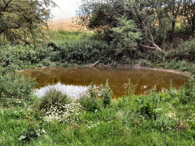
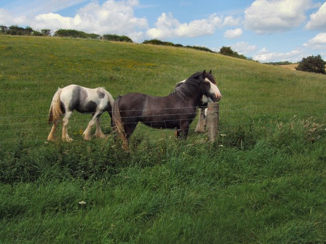
Deep Bottom Images
Images are sourced within 2km of 50.879431/-0.14589897 or Grid Reference TQ3010. Thanks to Geograph Open Source API. All images are credited.
Deep Bottom is located at Grid Ref: TQ3010 (Lat: 50.879431, Lng: -0.14589897)
Unitary Authority: Brighton and Hove
Police Authority: Sussex
What 3 Words
///giraffes.misted.cascaded. Near Ditchling, East Sussex
Nearby Locations
Related Wikis

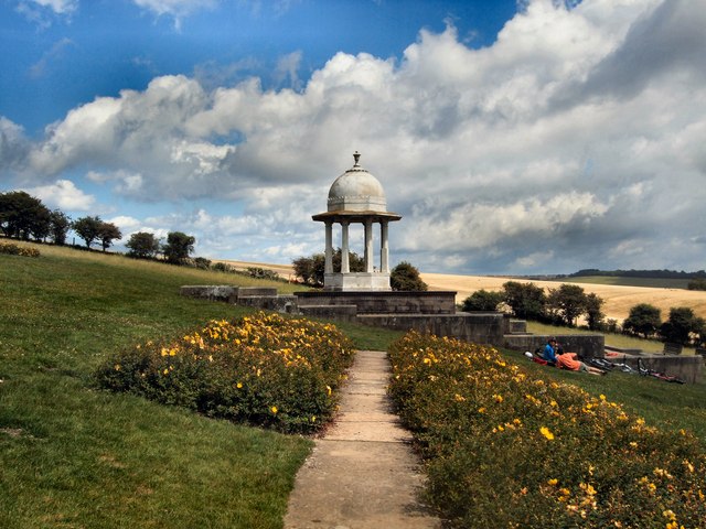
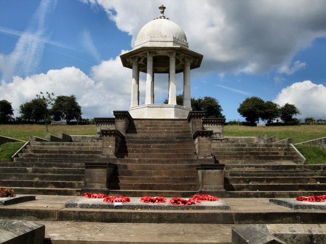
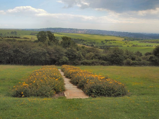
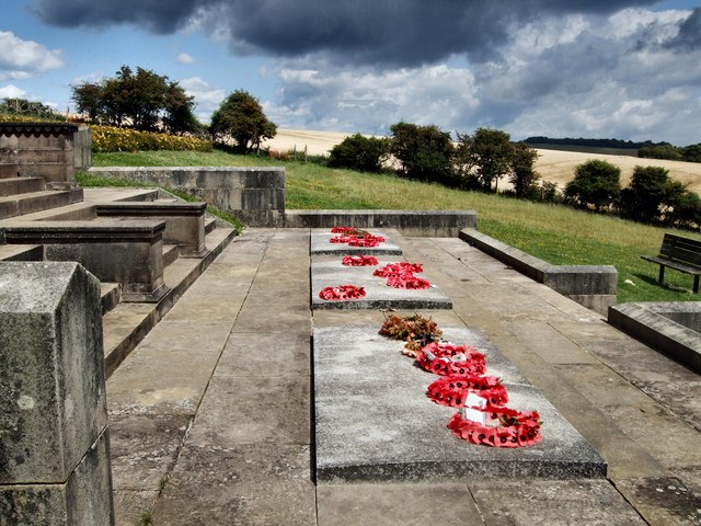
Chattri, Brighton
The Chattri is a war memorial in the English city of Brighton and Hove. It is sited 500 feet (150 m) above the city on the South Downs above the suburb...

Patcham Pylon
The Patcham Pylon is a monumental gateway erected in 1928 near Patcham in East Sussex, England. Designed by local architect John Leopold Denman and paid...

All Saints Church, Patcham
All Saints Church is the Anglican parish church of Patcham, an ancient Sussex village which is now part of the English city of Brighton and Hove. A place...

Ladies Mile, Brighton
Ladies Mile (TQ 318 093) is a 13.6-hectare (34-acre) Local Nature Reserve to the east of Patcham, on the northern outskirts of Brighton in East Sussex...
Nearby Amenities
Located within 500m of 50.879431,-0.14589897Have you been to Deep Bottom?
Leave your review of Deep Bottom below (or comments, questions and feedback).