Llawr y Glyn
Valley in Montgomeryshire
Wales
Llawr y Glyn
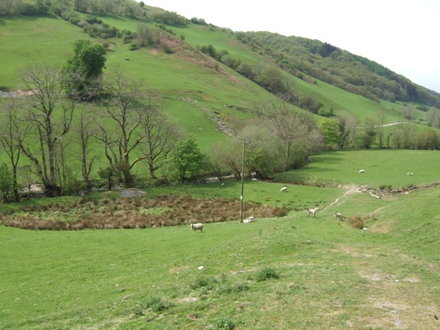
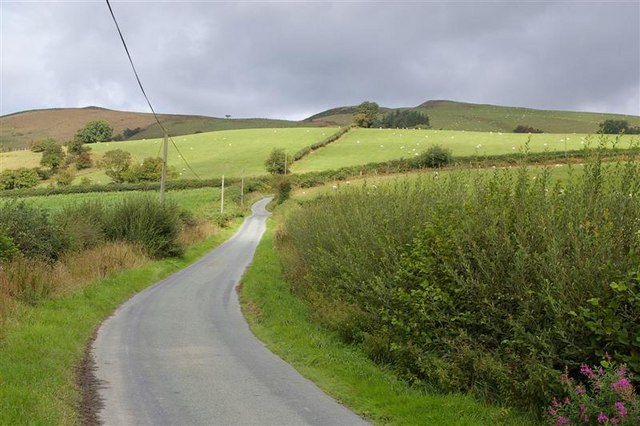
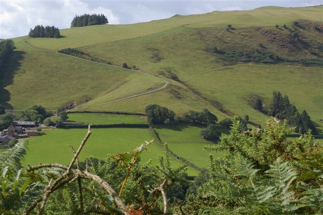
Llawr y Glyn is a picturesque valley located in the county of Montgomeryshire, Wales. Situated in the heart of the country, the valley is surrounded by rolling hills and lush greenery, creating a serene and idyllic setting.
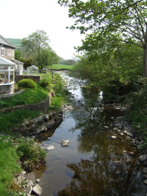
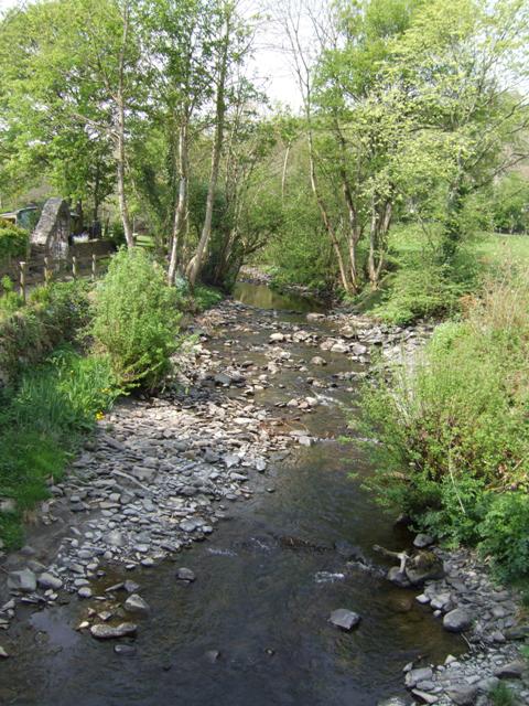
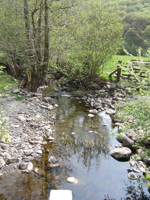
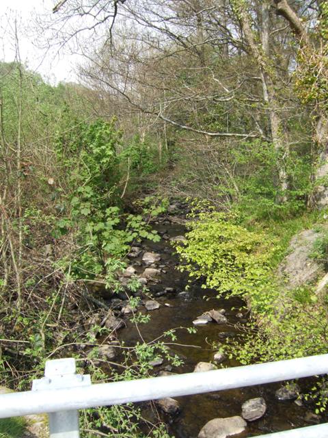
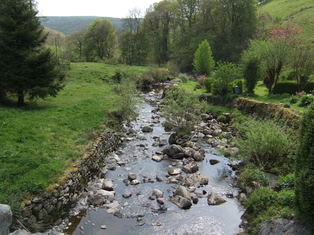
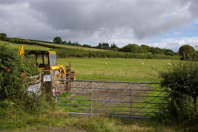
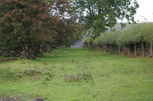
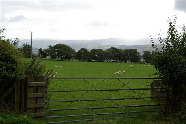
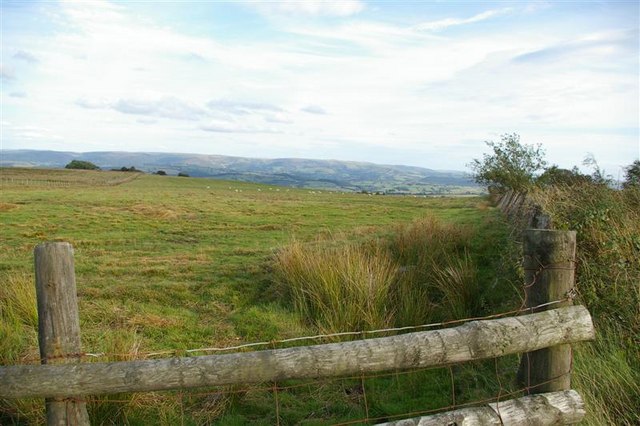
The valley is known for its stunning natural beauty and is a popular destination for outdoor enthusiasts and nature lovers. It is home to a variety of wildlife, including rare species of birds, butterflies, and plants. The tranquil River Glyn flows through the valley, providing a peaceful backdrop for visitors to enjoy.
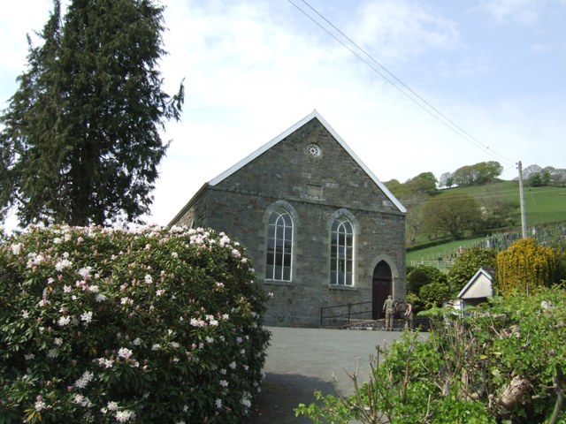
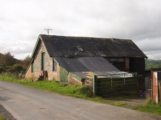
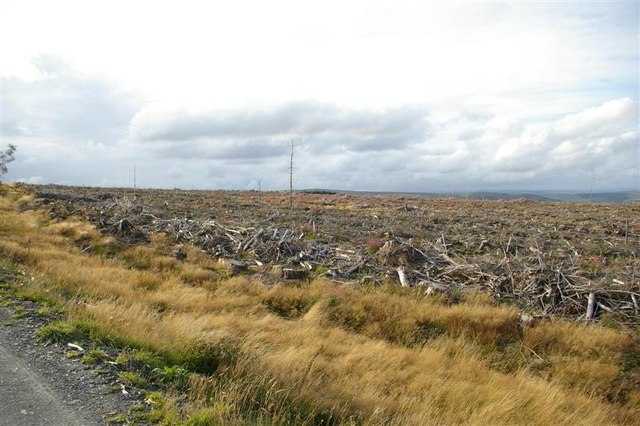
The area is rich in history and heritage, with several ancient sites and landmarks scattered throughout the valley. One such site is the Llawr y Glyn Cairn, a Bronze Age burial mound that offers insight into the early inhabitants of the area. Additionally, there are remnants of old mining works, showcasing the valley's industrial past.
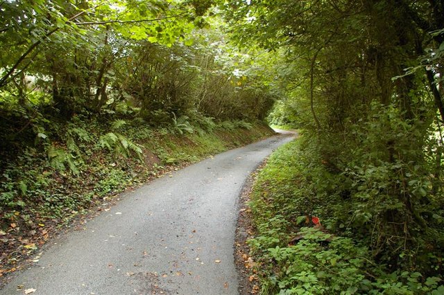
The valley is also a hub for recreational activities, with numerous walking and hiking trails crisscrossing the landscape. These trails cater to all abilities and provide breathtaking views of the surrounding countryside. Cyclists can also explore the valley through the network of quiet country lanes and off-road tracks.
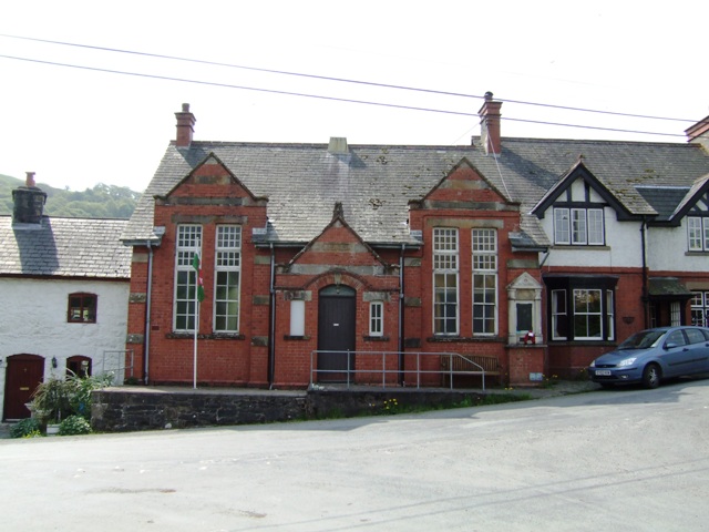
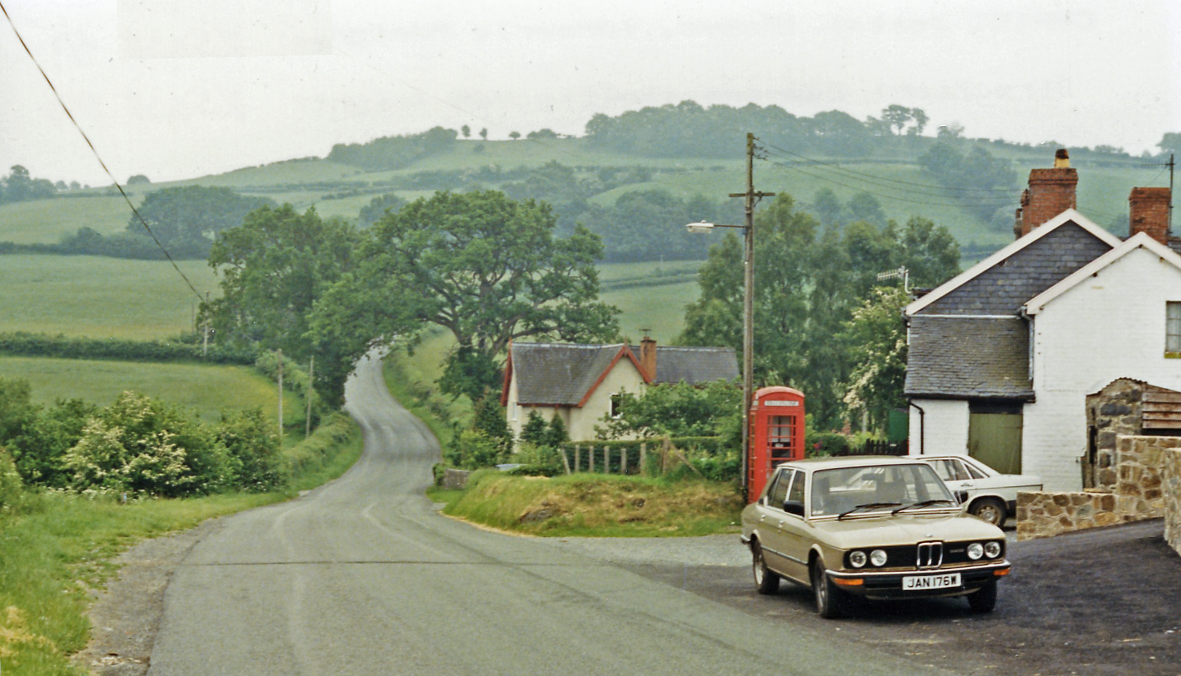
In terms of amenities, Llawr y Glyn is a small community with limited facilities. However, nearby towns offer a range of services, including accommodation options, restaurants, and shops.
Overall, Llawr y Glyn is a hidden gem in Montgomeryshire, offering visitors a chance to escape the hustle and bustle of modern life and immerse themselves in a peaceful and unspoiled natural environment.
If you have any feedback on the listing, please let us know in the comments section below.
Llawr y Glyn Images
Images are sourced within 2km of 52.506221/-3.561321 or Grid Reference SN9490. Thanks to Geograph Open Source API. All images are credited.
Llawr y Glyn is located at Grid Ref: SN9490 (Lat: 52.506221, Lng: -3.561321)
Unitary Authority: Powys
Police Authority: Dyfed Powys
What 3 Words
///broadens.including.movies. Near Staylittle, Powys
Nearby Locations
Related Wikis

Llawryglyn
Llawr y Glyn (or Llawryglyn) is a hamlet in Powys, Wales. It lies about 10 miles west of the town of Newtown, in the historic county of Montgomeryshire...
Trefeglwys
Trefeglwys is a village and community in Powys, Wales, within the historic county of Montgomeryshire. The name derives from the Welsh language tref 'township...
Cerist railway station
Cerist railway station served the town of Llanidloes, in the historical county of Montgomeryshire, Wales, from 1873 to 1940 on the Van Railway. == History... ==
Garth and Van Road railway station
Garth and Van Road railway station served the village of Garth, in the historical county of Montgomeryshire, Wales, from 1873 to 1940 on the Van Railway...

Van, Llanidloes
Van (Welsh: Y Fan) is a hamlet in Powys, Mid Wales, located to the north west of Llanidloes. Its name, an anglicisation of the local Welsh placename "Fan...
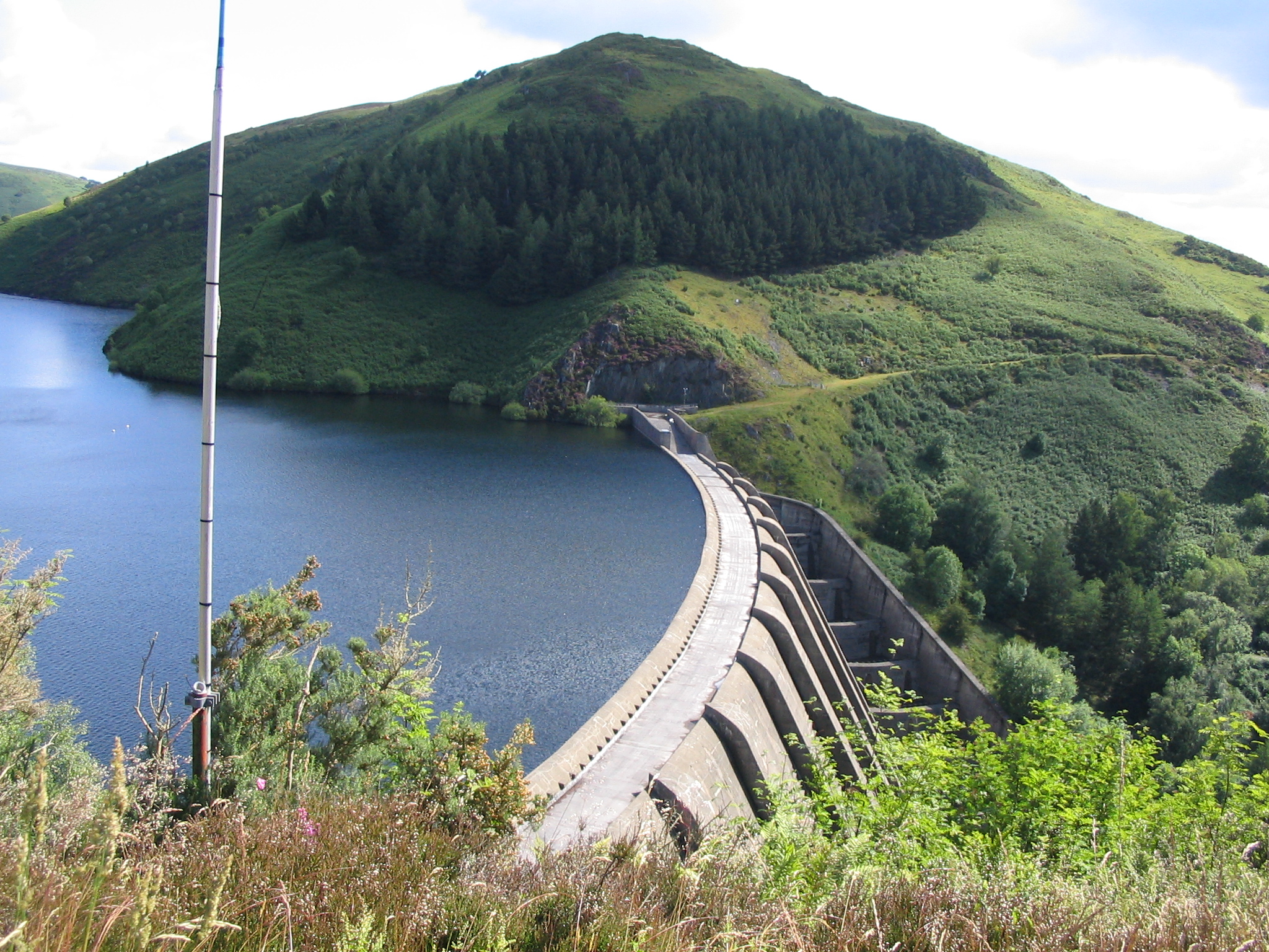
Clywedog Reservoir
The Clywedog Reservoir (Welsh: Llyn Clywedog) is a reservoir near Llanidloes, Wales on the head-waters of the River Severn. The construction of the reservoir...
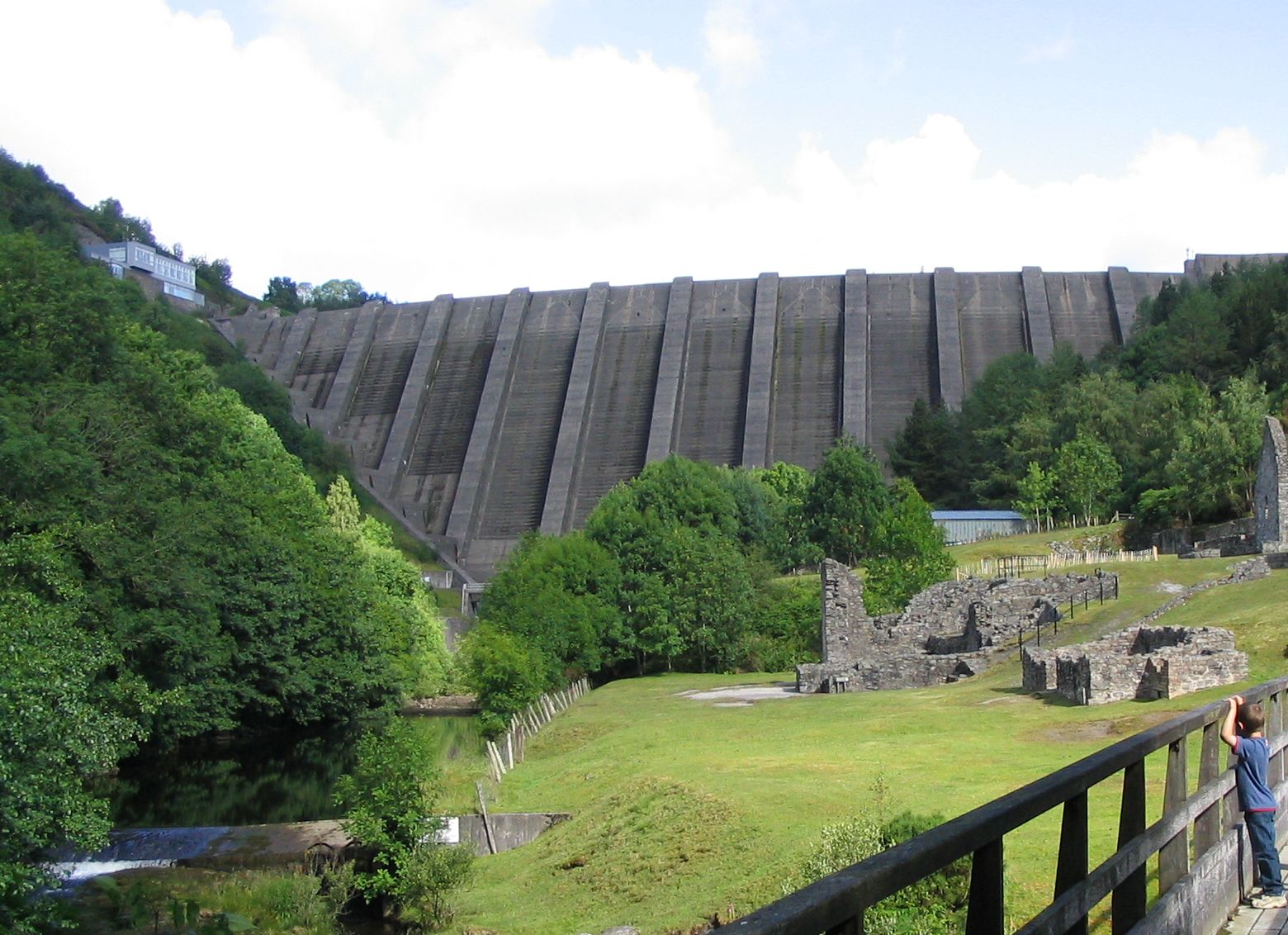
Bryntail lead mine
Bryntail lead mine is a disused lead mine near Llanidloes in Powys, Wales. Sited on the Afon Clywedog and in the shadow on the Clywedog reservoir dam,...
Staylittle
Staylittle (Welsh: Penffordd-las), sometimes referred to colloquially as Y Stay or Y Stae, is a small village set in the shallow upland basin of the Afon...
Nearby Amenities
Located within 500m of 52.506221,-3.561321Have you been to Llawr y Glyn?
Leave your review of Llawr y Glyn below (or comments, questions and feedback).