Great Gully
Valley in Aberdeenshire
Scotland
Great Gully
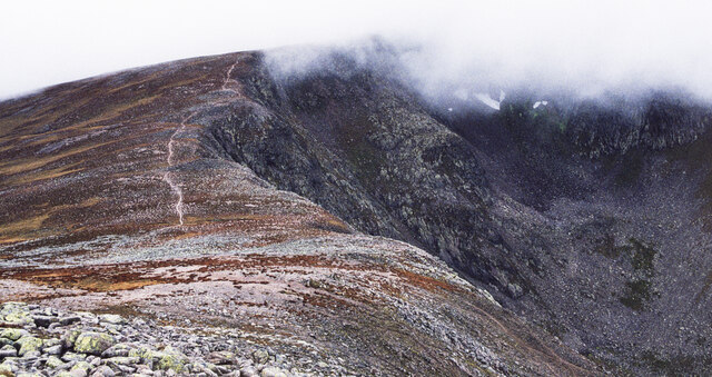
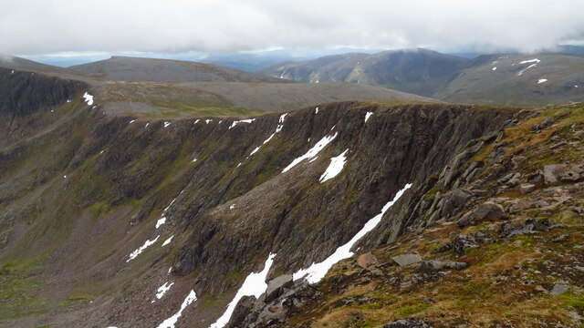
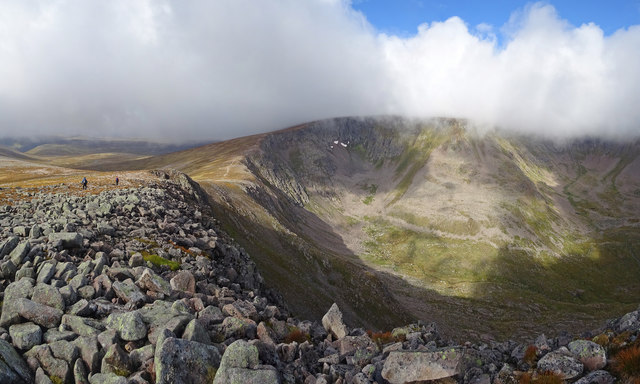
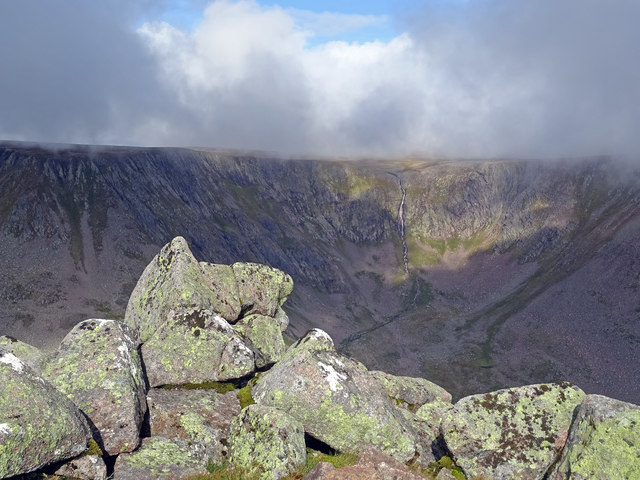
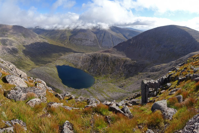
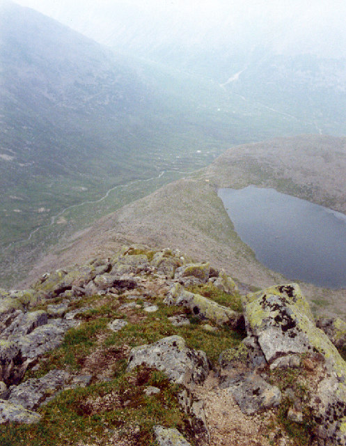
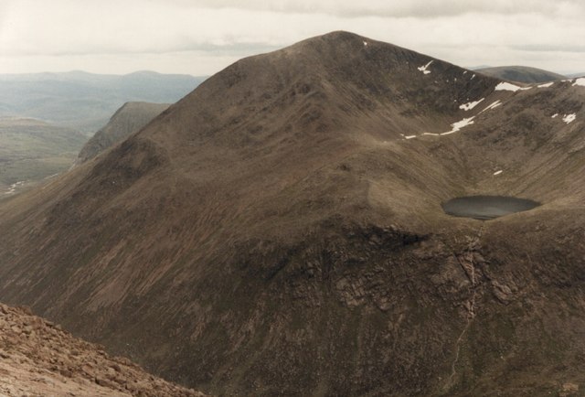
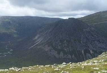
Great Gully, located in Aberdeenshire, Scotland, is a picturesque valley renowned for its stunning natural beauty and rich history. Nestled within the Grampian Mountains, it stretches for approximately 4 miles, providing a breathtaking setting for outdoor enthusiasts and nature lovers.
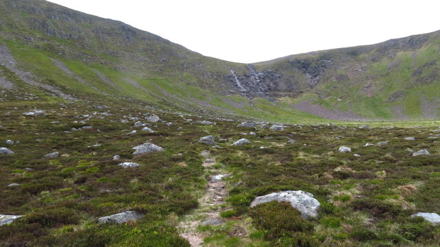
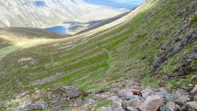
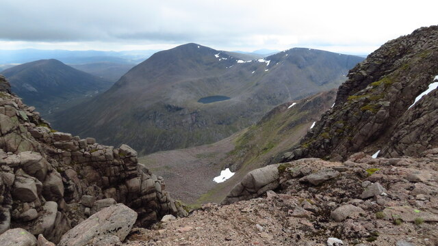
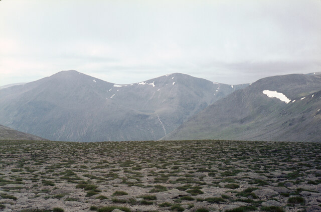
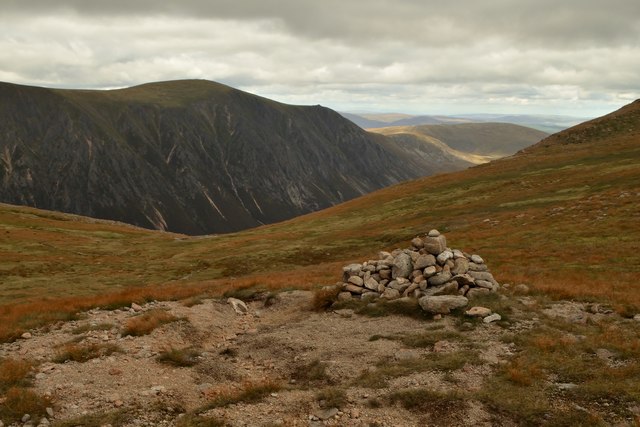
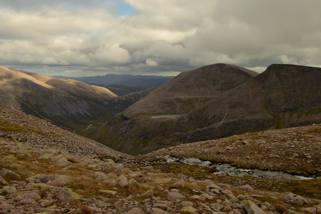
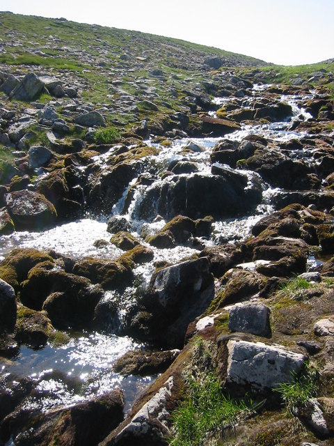
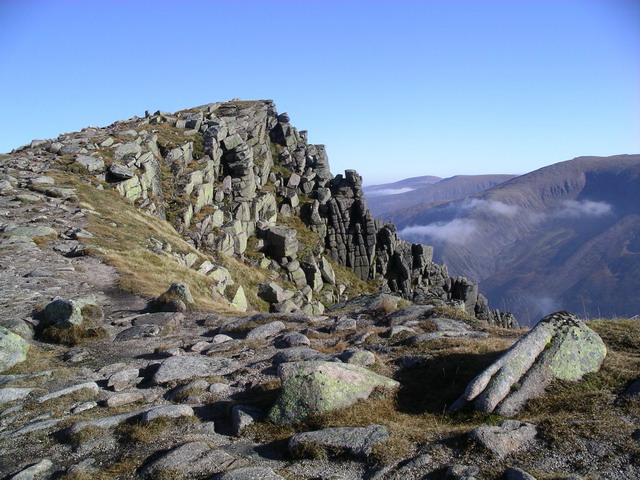
The valley is characterized by its dramatic landscape, featuring steep cliffs, cascading waterfalls, and lush greenery. The towering granite walls of the gully create an awe-inspiring sight, attracting climbers from all over the world who are eager to conquer its challenging routes. The gully is also home to a variety of wildlife, including red deer, golden eagles, and peregrine falcons, making it a haven for birdwatchers and wildlife enthusiasts.
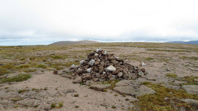
Great Gully's history dates back centuries, with evidence of ancient settlements and burial sites found in the area. It has played a significant role in the local community, serving as a source of inspiration for artists, writers, and poets throughout the years. The gully has also been a subject of numerous folklore and legends, adding to its allure and mystique.
The valley offers numerous activities for visitors to enjoy, such as hiking, rock climbing, and photography. Several well-marked trails wind through the valley, providing opportunities to explore its hidden treasures and discover its natural wonders. Additionally, the nearby town of Aberdeenshire offers amenities such as accommodation, restaurants, and shops, making it a convenient base for those wishing to explore Great Gully and its surrounding areas.
In conclusion, Great Gully in Aberdeenshire is a captivating valley that showcases the raw beauty of Scotland's landscape. With its towering cliffs, abundant wildlife, and rich history, it offers an unforgettable experience for those seeking to immerse themselves in nature and discover the wonders of this remarkable region.
If you have any feedback on the listing, please let us know in the comments section below.
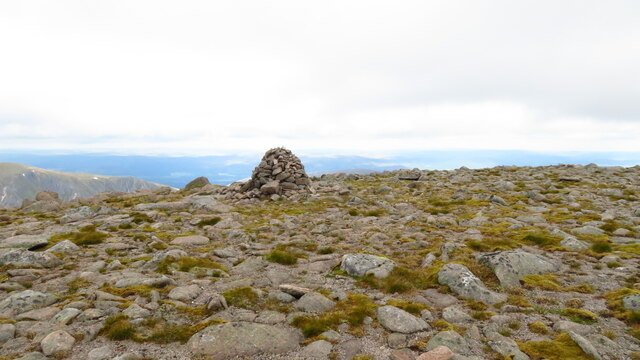
Great Gully Images
Images are sourced within 2km of 57.059966/-3.7475062 or Grid Reference NN9497. Thanks to Geograph Open Source API. All images are credited.
Great Gully is located at Grid Ref: NN9497 (Lat: 57.059966, Lng: -3.7475062)
Unitary Authority: Aberdeenshire
Police Authority: North East
What 3 Words
///scales.sunk.snacking. Near Aviemore, Highland
Nearby Locations
Related Wikis

Sgòr an Lochain Uaine
Sgòr an Lochain Uaine (Scottish Gaelic for 'peak of the little green lake') is one of the Cairngorms mountains in the Scottish Highlands. Rising to 1,258...
Cairn Toul
Cairn Toul (Scottish Gaelic: Càrn an t-Sabhail, 'hill of the barn') is the fourth-highest mountain in Scotland and all of the British Isles, after Ben...

Braeriach
Braeriach or Brae Riach (Scottish Gaelic: Am Bràigh Riabhach, 'the brindled upland') is the third-highest mountain in Scotland and all of the British Isles...

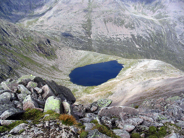
Loch Coire an Lochain
Loch Coire an Lochain is a small freshwater loch located below the summit of Braeriach in the eastern Highlands of Scotland. At 997 m (3,271 ft) above...

Monadh Mòr
Monadh Mòr (Scottish Gaelic: Big Hill) is a mountain in the Cairngorms region of the Highlands of Scotland. A pass connects it with Beinn Bhrotain. �...
Sgòr Gaoith
Sgòr Gaoith (Scottish Gaelic: Sgòr Gaoithe, 'windy peak') is a mountain peak in the far western massif of the Cairngorms in the Scottish Highlands. It...
The Devil's Point
The Devil's Point (Scottish Gaelic: Bod an Deamhain) is a mountain in the Cairngorms of Scotland, lying to the west of the Lairig Ghru pass. The Gaelic...

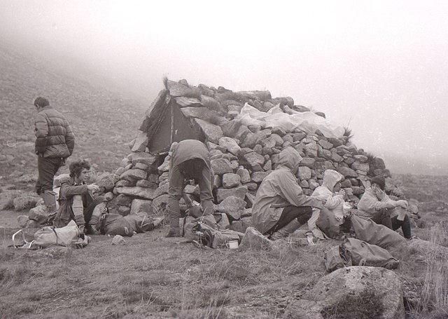
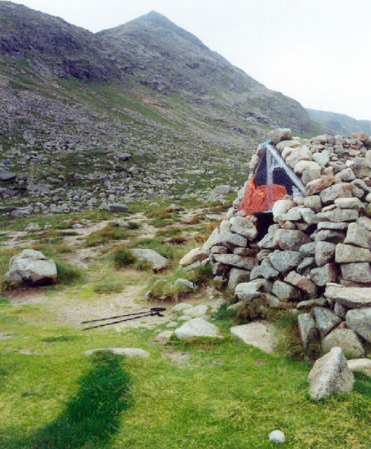
Corrour Bothy
Corrour Bothy is a simple stone building on Mar Lodge Estate, Aberdeenshire, Scotland. It is located below Coire Odhar between The Devil's Point and Cairn...
Nearby Amenities
Located within 500m of 57.059966,-3.7475062Have you been to Great Gully?
Leave your review of Great Gully below (or comments, questions and feedback).