Rae Cleuch
Valley in Lanarkshire
Scotland
Rae Cleuch
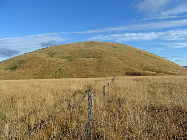
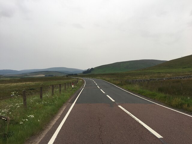
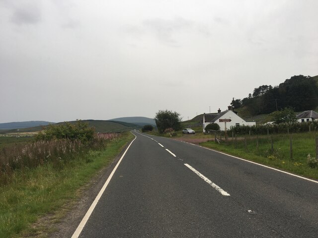
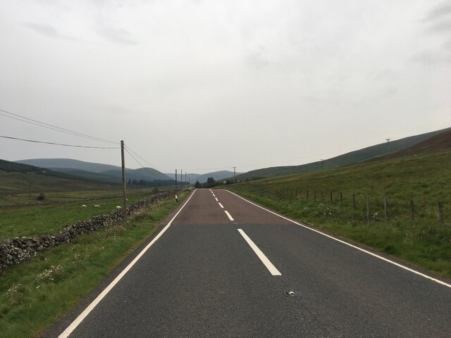
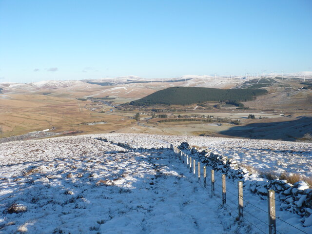
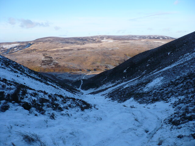
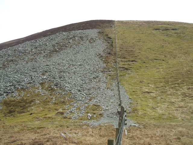
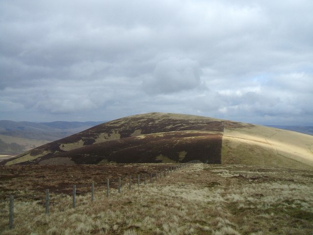
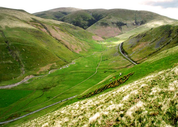
Rae Cleuch is a picturesque valley located in Lanarkshire, Scotland. Situated in the southern part of the country, the valley is nestled between rolling hills and offers stunning views of the surrounding countryside. The name "Rae Cleuch" translates to "ravine of the roe deer," which is reflective of the abundant wildlife found in the area.
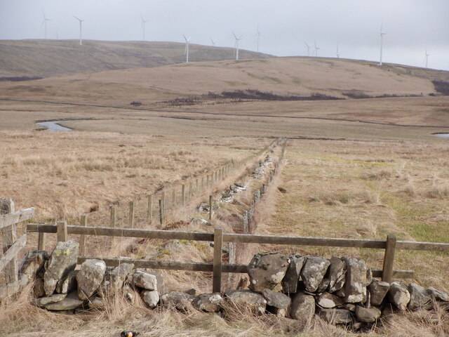
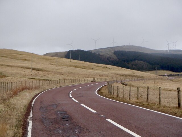
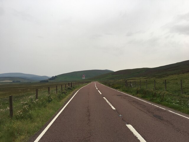
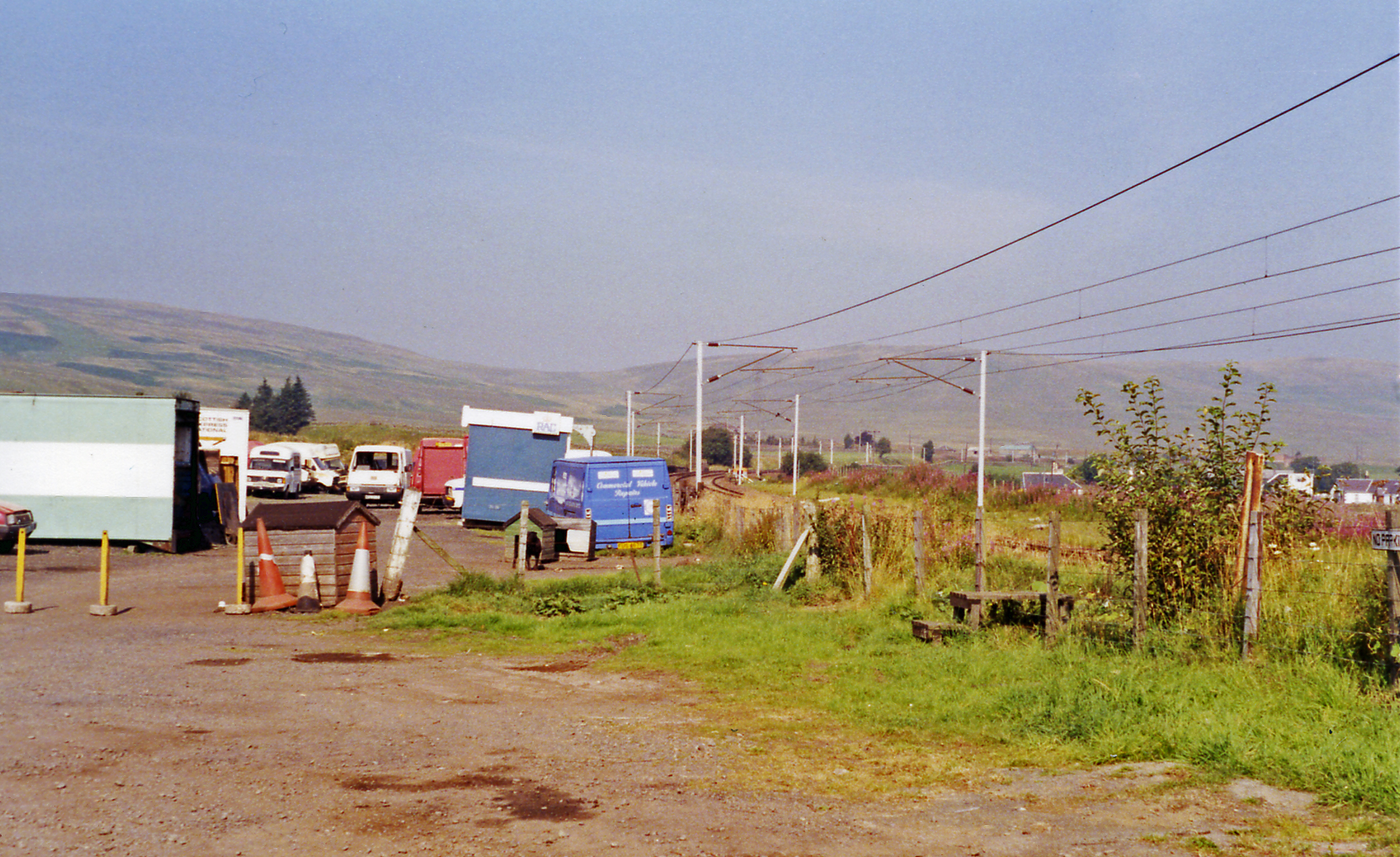
The valley is known for its natural beauty and tranquil atmosphere. It is a popular destination for outdoor enthusiasts, offering numerous walking and hiking trails that meander through the lush greenery and along the banks of the River Clyde, which runs through the valley. The river is also a great spot for fishing, with salmon and trout being commonly caught.
Rae Cleuch is home to a variety of flora and fauna, including several species of birds, deer, and wildflowers. It is a haven for nature lovers and provides ample opportunities for birdwatching and wildlife spotting.
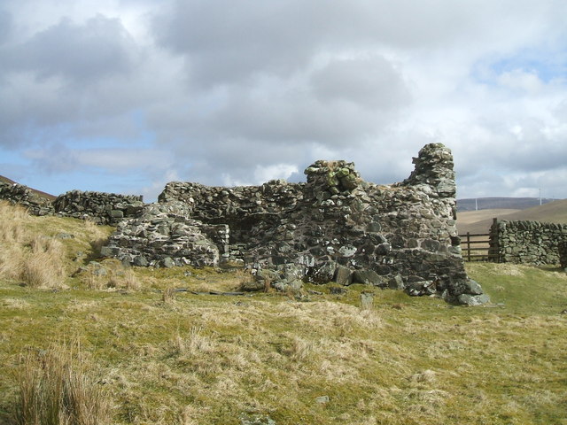
The valley is also steeped in history, with ancient ruins and archaeological sites scattered throughout the area. The nearby village of Douglas, which dates back to the 12th century, offers a glimpse into the region's past with its historic buildings and landmarks.
Overall, Rae Cleuch is a serene and captivating destination that offers a unique blend of natural beauty and historical significance. Whether you are seeking outdoor adventures, a peaceful retreat, or a chance to immerse yourself in Scotland's rich heritage, this valley is sure to leave a lasting impression.
If you have any feedback on the listing, please let us know in the comments section below.
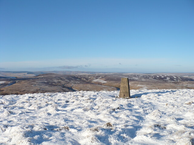
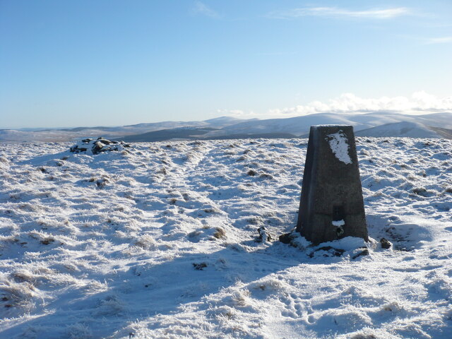
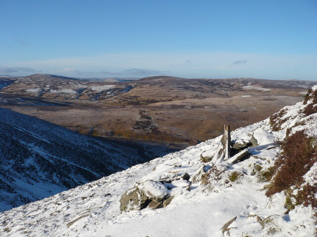
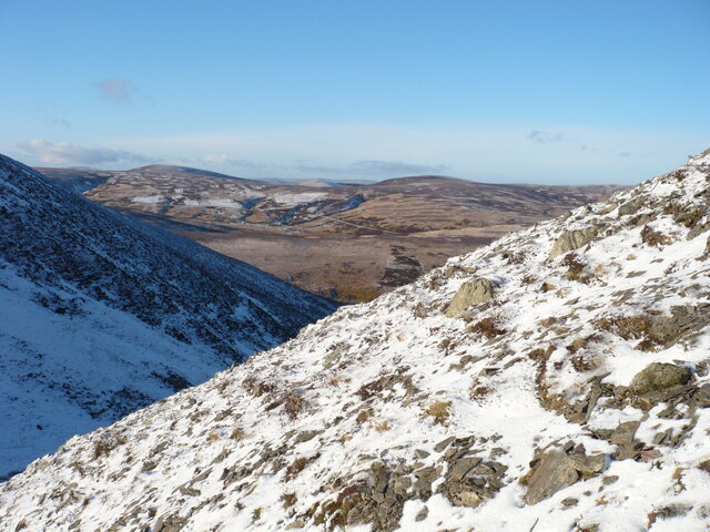
Rae Cleuch Images
Images are sourced within 2km of 55.411368/-3.6738337 or Grid Reference NS9414. Thanks to Geograph Open Source API. All images are credited.
Rae Cleuch is located at Grid Ref: NS9414 (Lat: 55.411368, Lng: -3.6738337)
Unitary Authority: South Lanarkshire
Police Authority: Lanarkshire
What 3 Words
///stunner.fear.powering. Near Sanquhar, Dumfries & Galloway
Nearby Locations
Related Wikis

East Kilbride, Strathaven and Lesmahagow (UK Parliament constituency)
East Kilbride, Strathaven and Lesmahagow is a county constituency of the House of Commons of the Parliament of the United Kingdom, which was first used...

Elvanfoot
Elvanfoot is a small village in South Lanarkshire, Scotland. Elvanfoot is located at the confluence of the River Clyde and Elvan Water. The Clyde is crossed...
Elvanfoot railway station
Elvanfoot railway station was a station which served Elvanfoot, in the Scottish county of South Lanarkshire. It was served by local trains on what is now...

Daer Water
Daer Water (Scots: daer; IPA: [døːɾ] and IPA: [deːɾ], northern Scotland IPA: [diːɾ]) is one of the streams located in the watershed region which surrounds...
Lowther Hills
The Lowther Hills, also sometimes known as the Lowthers, are an extensive area of hill country in the Southern Uplands of Scotland, though some sub-ranges...

Green Lowther
Green Lowther is a hill in the Lowther Hills range, part of the Southern Uplands of Scotland. It is the highest point of the Lowther Hills and lies in...
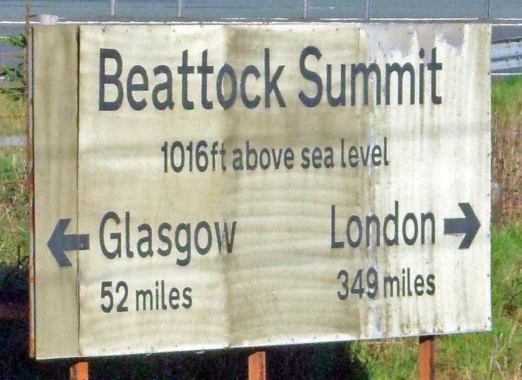
Beattock Summit
Beattock Summit is the highest point of the West Coast Main Line (WCML) railway and of the A74(M) motorway as they cross between Dumfries and Galloway...

Leadhills railway station
Leadhills railway station was opened on 1 October 1901 as the intermediate stop on the Leadhills and Wanlockhead Light Railway and served the lead mining...
Have you been to Rae Cleuch?
Leave your review of Rae Cleuch below (or comments, questions and feedback).