Beacon Hill
Hill, Mountain in Dorset
England
Beacon Hill
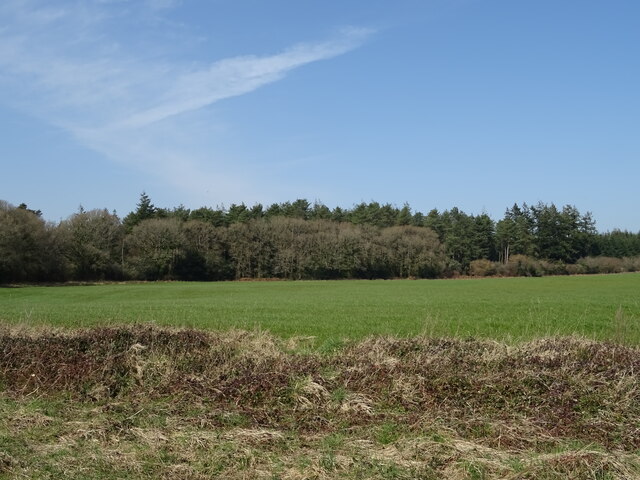
Beacon Hill is a prominent hill located in the county of Dorset, England. Situated in the Cranborne Chase Area of Outstanding Natural Beauty, it offers stunning panoramic views of the surrounding countryside. Standing at an elevation of 244 meters (800 feet), it is the highest point in the Cranborne Chase and the second highest hill in Dorset.
The hill is known for its rich history, with evidence of human activity dating back to the Bronze Age. Archaeological excavations have uncovered remnants of ancient settlements, burial mounds, and Iron Age hillforts, highlighting its significance as a strategic location in the past.
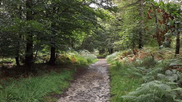
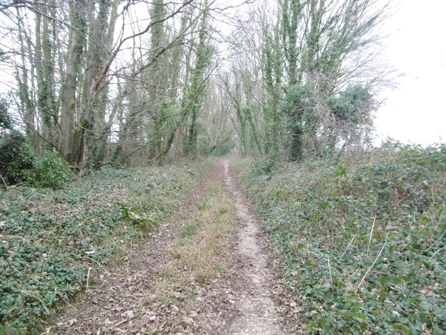
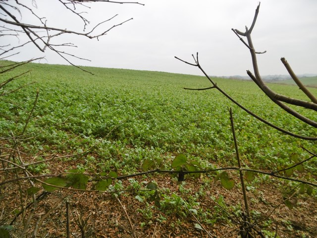
Today, Beacon Hill is a popular destination for outdoor enthusiasts, offering a range of activities for visitors to enjoy. The hill is crisscrossed by numerous walking trails, providing opportunities for hikers and nature lovers to explore the area's diverse flora and fauna. The hill's location within the Cranborne Chase also makes it a prime spot for birdwatching, with several species of birds often spotted in the area.
At the summit of Beacon Hill, there is a beacon, which historically served as a signal for raising alarms or conveying messages. This tradition dates back centuries and was used during times of war or to announce important events. Today, the beacon stands as a reminder of the hill's historical significance.
With its natural beauty, historical landmarks, and recreational opportunities, Beacon Hill is a cherished destination for locals and tourists alike. Whether one seeks a peaceful hike, a glimpse into the area's past, or simply breathtaking views, this hill in Dorset is sure to captivate all who visit.
If you have any feedback on the listing, please let us know in the comments section below.
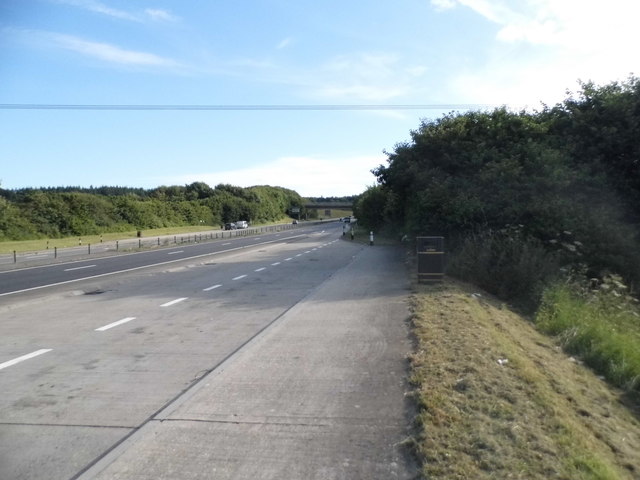
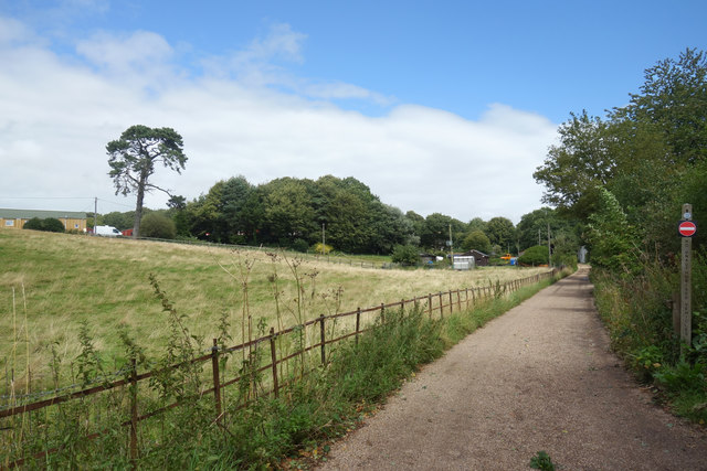
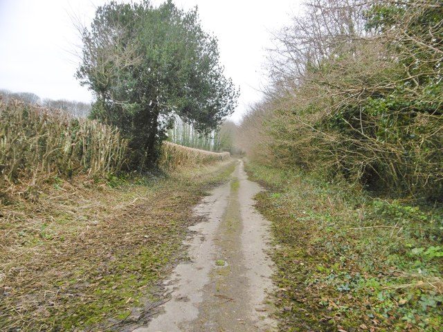
Beacon Hill Images
Images are sourced within 2km of 50.741349/-2.3698833 or Grid Reference SY7393. Thanks to Geograph Open Source API. All images are credited.
Beacon Hill is located at Grid Ref: SY7393 (Lat: 50.741349, Lng: -2.3698833)
Unitary Authority: Dorset
Police Authority: Dorset
What 3 Words
///ombudsman.cactus.survive. Near Puddletown, Dorset
Nearby Locations
Related Wikis

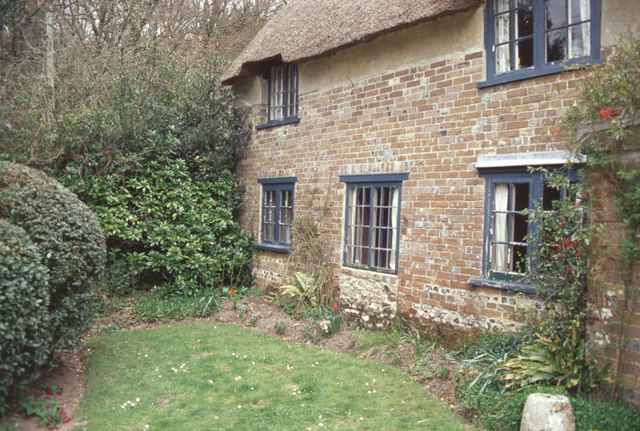
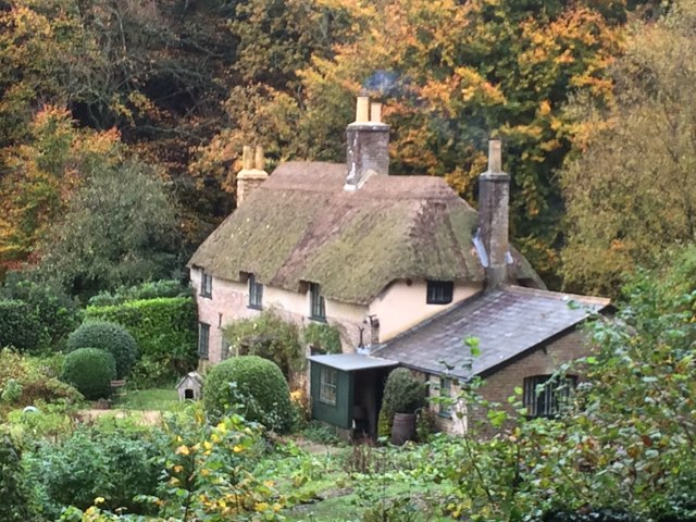
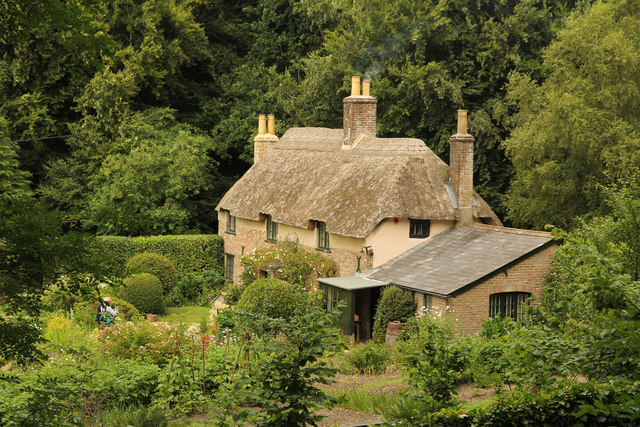
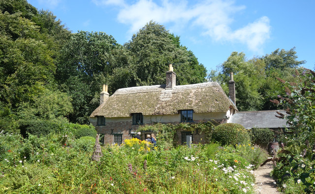
Thomas Hardy's Cottage
Thomas Hardy's Cottage, in Higher Bockhampton, Dorset, is a small cob and thatch building that is the birthplace of the English author Thomas Hardy. He...

Waterston Manor
Waterston Manor, Puddletown, Dorset is a manor house with 17th century origins, that was extensively rebuilt after a fire in 1863 and remodelled in 1911...

Puddletown Hundred
Puddletown Hundred was a hundred in the county of Dorset, England, containing the following parishes: Athelhampton Burleston Milborne St Andrew (part...

Puddletown
Puddletown is a village and civil parish in Dorset, England. It is situated by the River Piddle, from which it derives its name, about 4.5 miles (7 km...
Related Videos


Wood Farm Holiday Park - Holidays & Short Breaks 2024
Nestled in the beautiful Char Valley woodlands, and just a short drive from Charmouth Beach and Lyme Regis. For more ...
Hiking on the South West Coast Path
I met Lynne when we were both 11 years old, and in the same class at school. To celebrate turning 50, Lynne's doing the whole ...

Dorset Travel Guide, England | AD
From exploring the beautiful beaches, to famous landmarks like Durdle Door and Portland Bill, and activities including kayaking, ...
Nearby Amenities
Located within 500m of 50.741349,-2.3698833Have you been to Beacon Hill?
Leave your review of Beacon Hill below (or comments, questions and feedback).