Lady Hill
Hill, Mountain in Lancashire
England
Lady Hill

Lady Hill is a prominent hill located in the county of Lancashire, England. Rising to an elevation of approximately 324 meters (1,063 feet) above sea level, it is a notable landmark within the region. The hill is situated near the village of Newchurch in Pendle, which is part of the Forest of Bowland Area of Outstanding Natural Beauty.
Lady Hill is renowned for its picturesque surroundings and breathtaking vistas. Its summit offers panoramic views across the expansive Lancashire countryside, including the nearby Pendle Hill and the Ribble Valley. The hill is covered in lush green vegetation, predominantly consisting of grassland and scattered trees, which contribute to its scenic beauty.
The name "Lady Hill" is believed to have originated from the presence of a stone circle known as "The Cursus," which was discovered on the hill. This prehistoric monument consists of several stones arranged in a circular pattern, suggesting its ceremonial significance during ancient times.
Today, Lady Hill attracts outdoor enthusiasts and nature lovers who visit to enjoy its tranquil ambiance and stunning landscapes. The hill provides ample opportunities for hiking, walking, and picnicking, allowing visitors to immerse themselves in the natural beauty of the area. Additionally, the hill is a popular spot for birdwatching, with various species of birds inhabiting the surrounding woodlands.
In summary, Lady Hill in Lancashire is a captivating natural feature, offering breathtaking views and a peaceful setting. Its historical significance and diverse range of recreational activities make it an appealing destination for both locals and tourists alike.
If you have any feedback on the listing, please let us know in the comments section below.
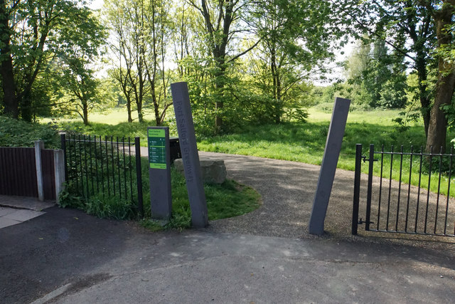
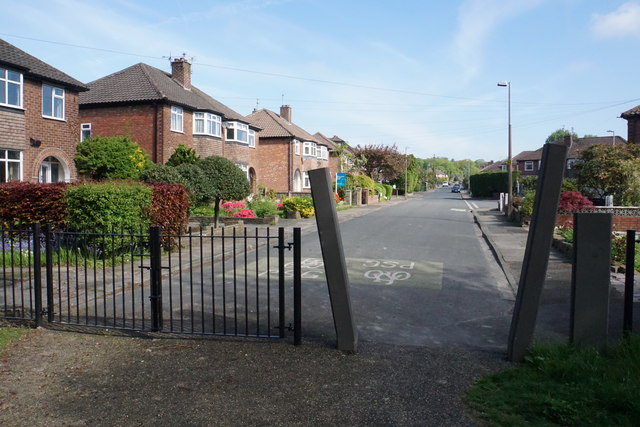
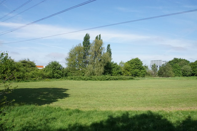
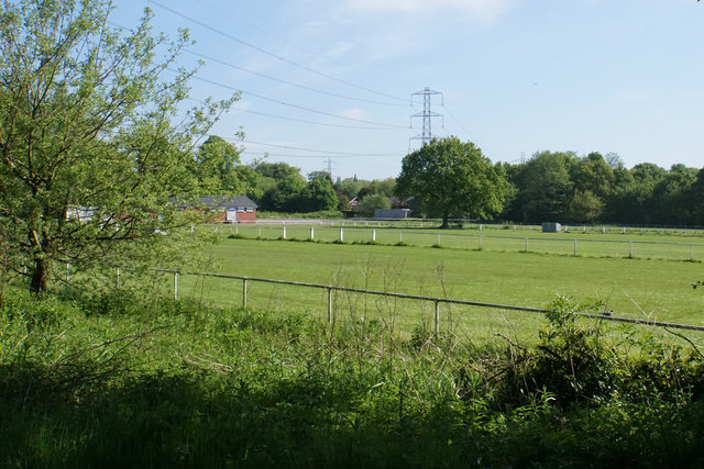
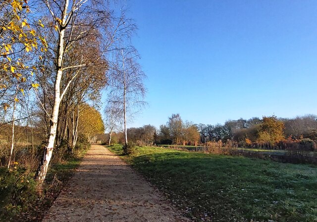
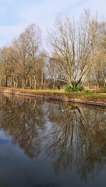
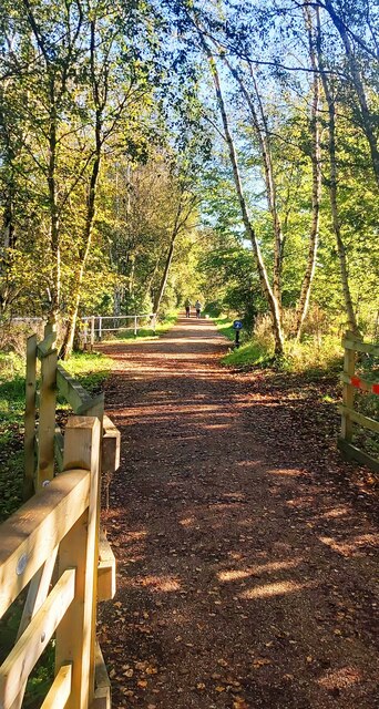
Lady Hill Images
Images are sourced within 2km of 53.506516/-2.3933476 or Grid Reference SD7401. Thanks to Geograph Open Source API. All images are credited.


Lady Hill is located at Grid Ref: SD7401 (Lat: 53.506516, Lng: -2.3933476)
Unitary Authority: Salford
Police Authority: Greater Manchester
What 3 Words
///gent.dollar.backs. Near Walkden, Manchester
Nearby Locations
Related Wikis
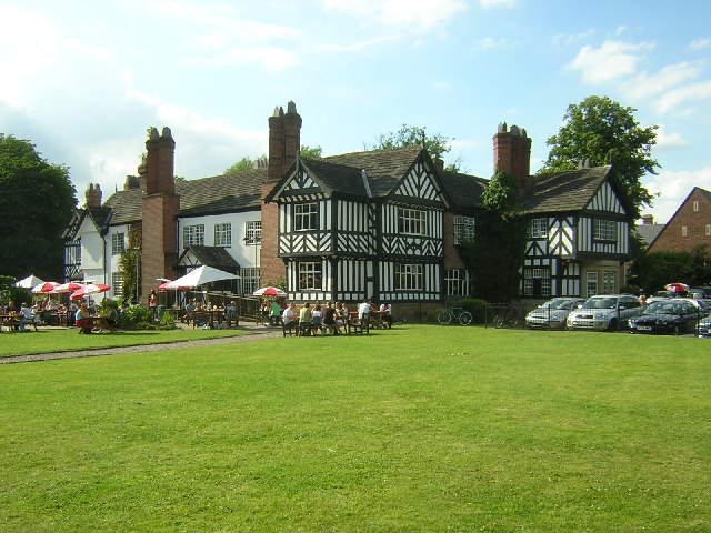
Worsley Old Hall
Worsley Old Hall is a public house and restaurant in Worsley, Greater Manchester, England. It is recorded in the National Heritage List for England as...

Worsley and Eccles South (UK Parliament constituency)
Worsley and Eccles South is a county constituency represented in the House of Commons of the Parliament of the United Kingdom. The seat is currently held...

Worsley
Worsley () is a village in the City of Salford, Greater Manchester, England, which in 2014 had a population of 10,090. It lies along Worsley Brook, 6 miles...

St Mark's Church, Worsley
St Mark's Church is an active Anglican parish church in Worsley, Greater Manchester, England. It is part of a team ministry along with St Mary's in Ellenbrook...
Nearby Amenities
Located within 500m of 53.506516,-2.3933476Have you been to Lady Hill?
Leave your review of Lady Hill below (or comments, questions and feedback).