Hay Moor
Downs, Moorland in Somerset Somerset West and Taunton
England
Hay Moor
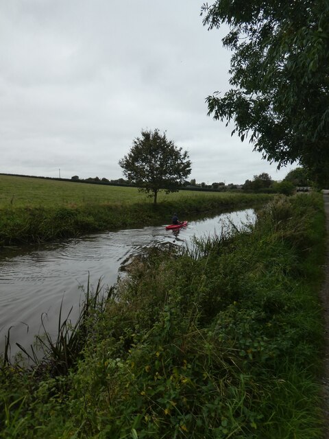
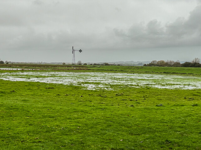
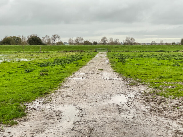
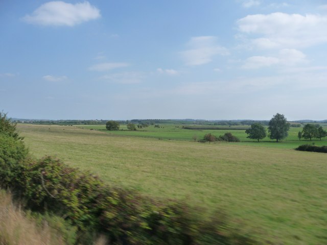
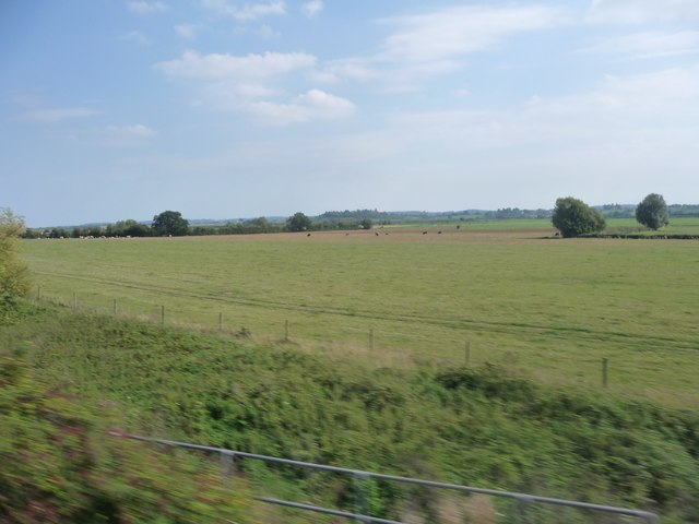
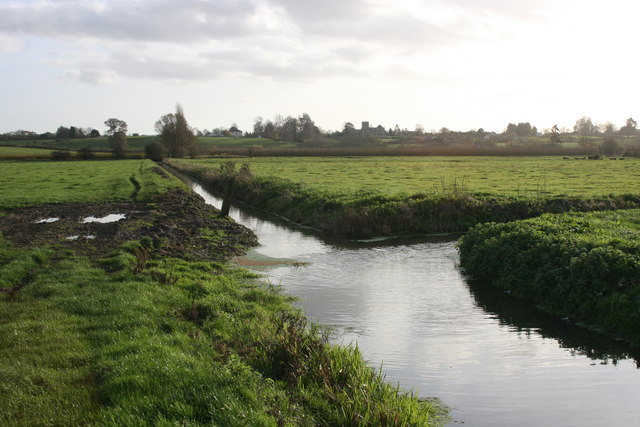
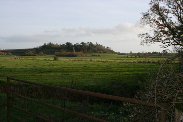
Hay Moor is a picturesque area located in Somerset, England. It is characterized by its stunning downs and expansive moorland, making it a popular destination for nature lovers and outdoor enthusiasts. The moorland stretches across vast open spaces, providing breathtaking views of the surrounding countryside.
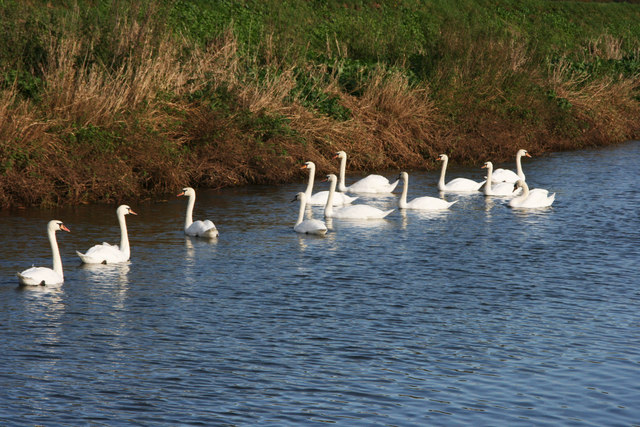
The area is known for its rich wildlife, with numerous species of birds, mammals, and plants inhabiting the moorland. Visitors can spot rare birds such as curlews, lapwings, and red grouse, as well as various species of wildflowers, including heather and gorse. The diverse ecosystem of Hay Moor makes it an ideal habitat for a wide range of flora and fauna.
Hay Moor also offers a variety of recreational activities for visitors to enjoy. The vast open spaces are perfect for walking, hiking, and picnicking, allowing visitors to immerse themselves in the natural beauty of the area. Additionally, the moorland provides opportunities for birdwatching, photography, and nature observation.
The area is easily accessible, with well-maintained footpaths and trails throughout the moorland. There are also designated parking areas for visitors who wish to explore the area by car. Local authorities have implemented conservation measures to protect the delicate ecosystem of Hay Moor, ensuring its preservation for future generations.
Overall, Hay Moor in Somerset is a stunning natural landscape that offers visitors a chance to connect with nature and experience the beauty of the English countryside. Whether exploring the moorland on foot or simply admiring the panoramic views, visitors are guaranteed an unforgettable experience in this enchanting location.
If you have any feedback on the listing, please let us know in the comments section below.
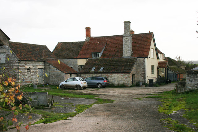
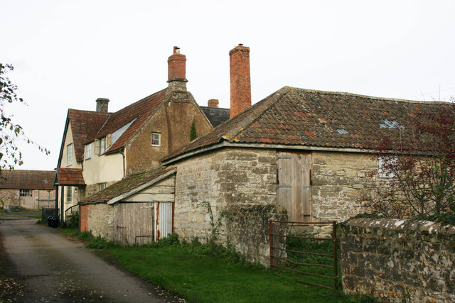
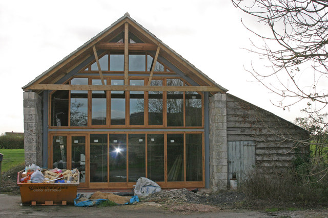
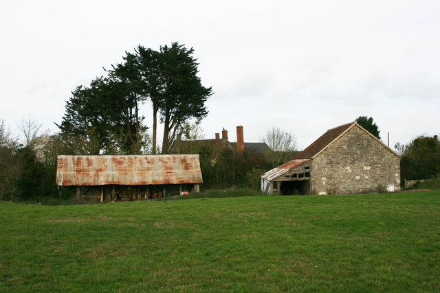
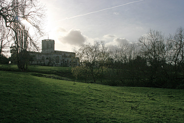
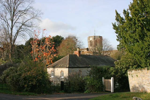
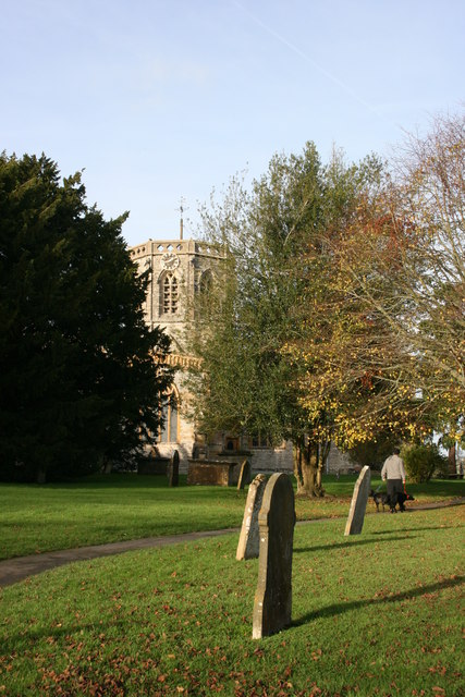
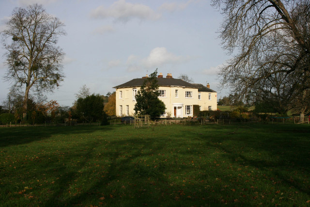
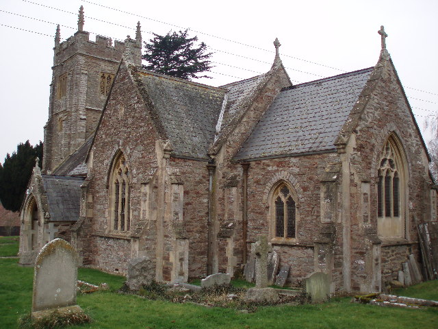
Hay Moor Images
Images are sourced within 2km of 51.033659/-2.9754746 or Grid Reference ST3126. Thanks to Geograph Open Source API. All images are credited.
Hay Moor is located at Grid Ref: ST3126 (Lat: 51.033659, Lng: -2.9754746)
Administrative County: Somerset
District: Somerset West and Taunton
Police Authority: Avon and Somerset
What 3 Words
///dumpy.dose.redefined. Near Creech St Michael, Somerset
Nearby Locations
Related Wikis

Curry and Hay Moors
Curry and Hay Moors (grid reference ST323273) is a 472.8 hectare (1168.1 acre) biological Site of Special Scientific Interest in Somerset, notified in...

North Curry
North Curry is a village and civil parish in Somerset, England, 5 miles (8.0 km) east of Taunton. The parish, which includes several hamlets, had a population...

North Curry Meadow
North Curry Meadow (grid reference ST330253) is a 1.3 hectare (3.1 acre) biological Site of Special Scientific Interest in North Curry, Somerset, England...

Cogload Junction
Cogload Junction is a railway junction in Durston, Somerset, England. It is where the 1906-opened London to Penzance Line via Castle Cary joins the original...

Lyng, Somerset
Lyng is a civil parish in Somerset, England, comprising the villages of West Lyng and East Lyng and the hamlet of Bankland. == History == The name derives...
Durston
Durston is a village and civil parish in Somerset, England, situated on the A361 road 5 miles (8.0 km) north east of Taunton and 6 miles (9.7 km) south...

Willows and Wetlands Visitor Centre
The Willows and Wetlands Visitor Centre is situated at Stoke St Gregory, on the Somerset Levels, north east of Taunton, England. Based on a working farm...

Stoke St Gregory
Stoke St Gregory is a village and civil parish in Somerset, England, about 7 miles (11 km) east of Taunton. The village is on a low ridge of land between...
Have you been to Hay Moor?
Leave your review of Hay Moor below (or comments, questions and feedback).