Muir of Williehead
Downs, Moorland in Aberdeenshire
Scotland
Muir of Williehead
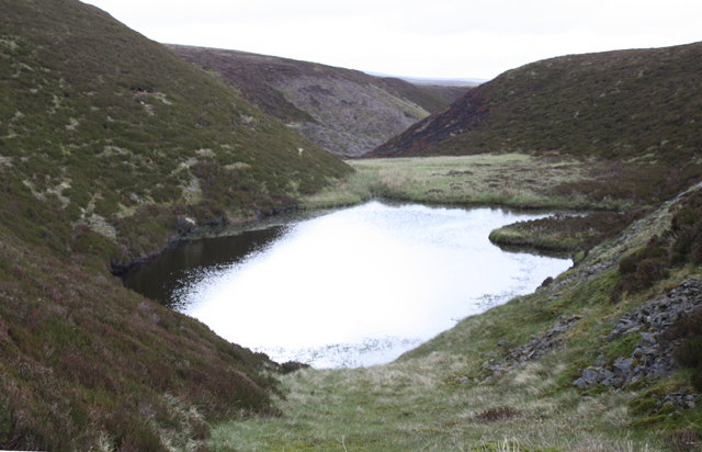
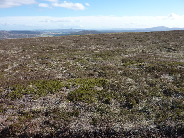
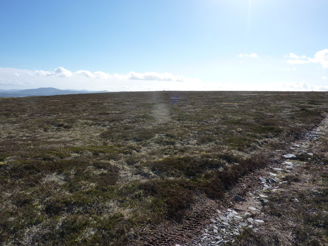
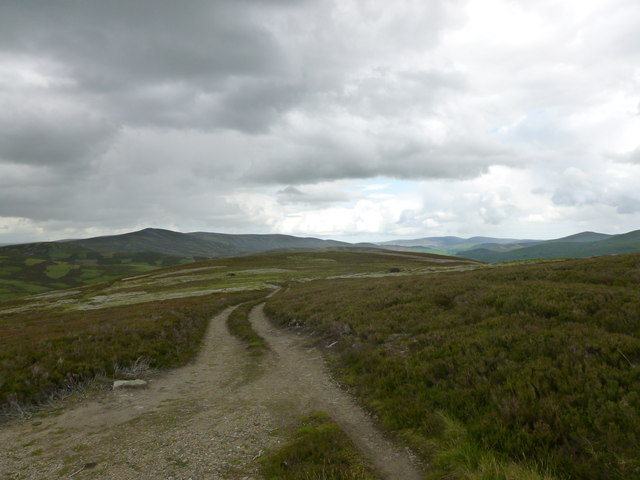
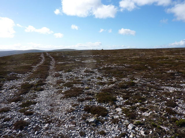
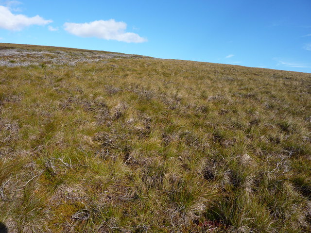
Muir of Williehead is a vast expanse of downs and moorland located in Aberdeenshire, Scotland. Spread across a sprawling area, this natural landscape is characterized by its undulating hills, heather-covered moors, and scattered clusters of trees. The Muir is situated in close proximity to the village of Williehead, from which it derives its name.
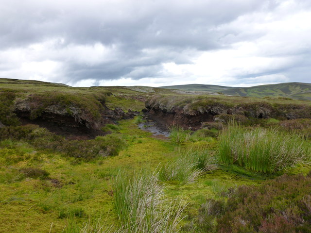
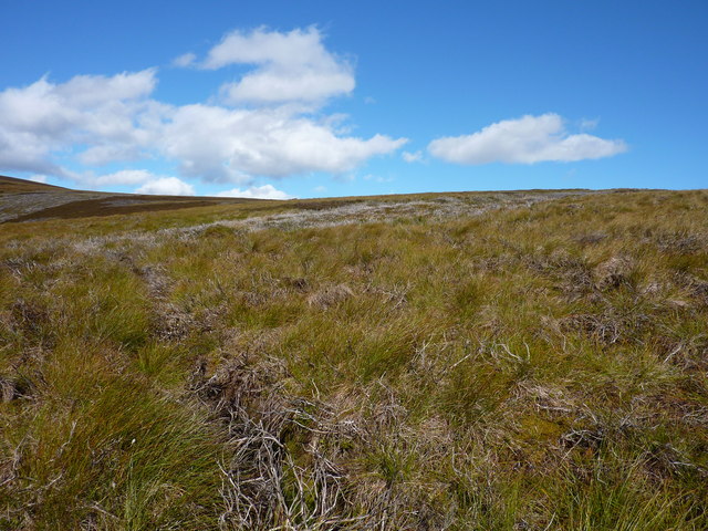
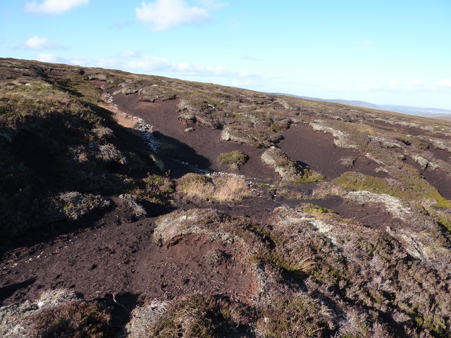
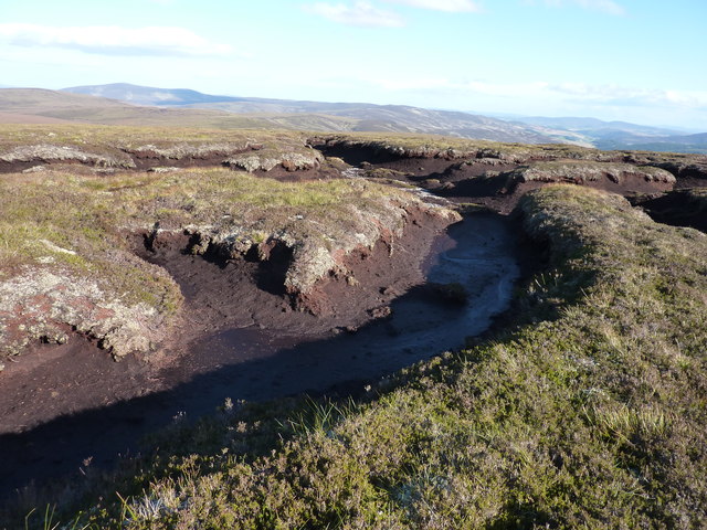
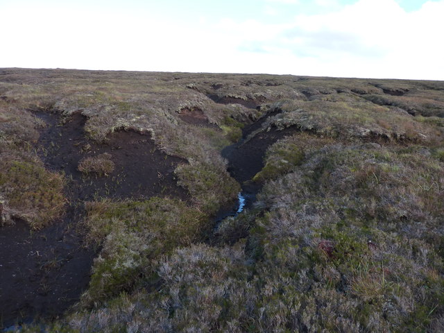
The terrain of Muir of Williehead is predominantly composed of peat, resulting in a unique flora and fauna. The moorland is adorned with vibrant purple heather, interspersed with patches of grasses and mosses, creating a visually stunning tapestry of colors. The heather also serves as a habitat for a variety of wildlife, including grouse, curlews, and merlins.
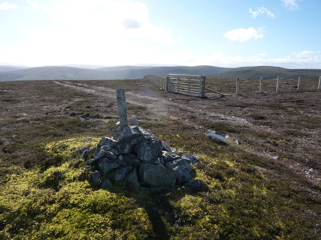
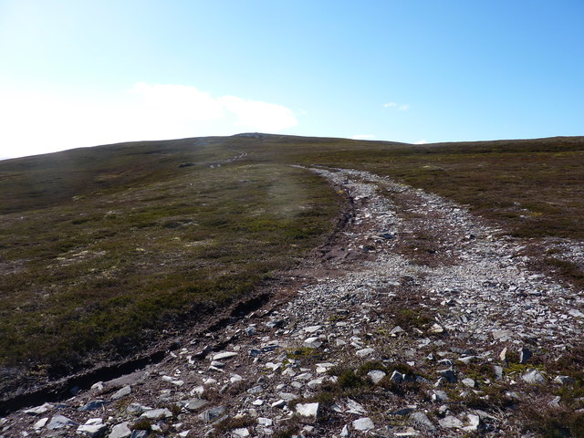
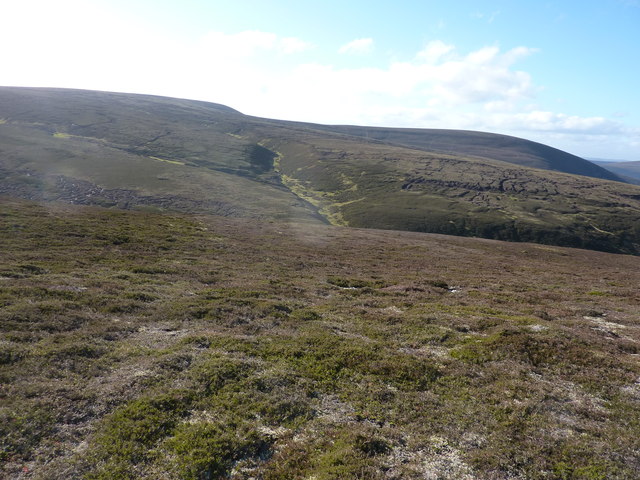
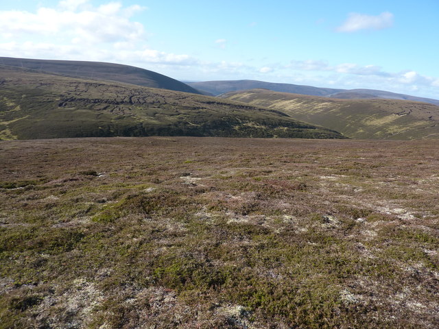
The rolling hills of the downs provide visitors with breathtaking panoramic views of the surrounding countryside. On clear days, one can see the distant peaks of the Cairngorms National Park to the west. The Muir is also crisscrossed by several walking trails, enabling hikers to explore the area and appreciate its natural beauty up close.
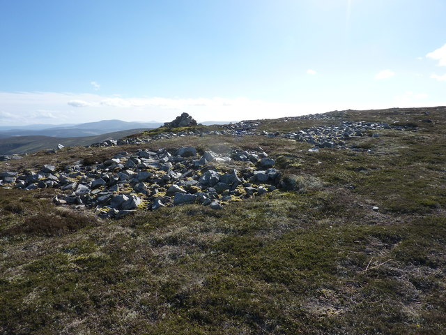
Aside from its natural splendor, Muir of Williehead holds historical significance as well. The area is believed to have been inhabited since ancient times, with evidence of prehistoric settlements and stone circles found in the vicinity. These artifacts provide insight into the lives of the early inhabitants and attract archaeology enthusiasts from far and wide.
Overall, Muir of Williehead in Aberdeenshire offers a captivating blend of natural wonders and historical intrigue. It is an idyllic destination for nature lovers, hikers, and history buffs alike, providing a serene escape from the hustle and bustle of modern life.
If you have any feedback on the listing, please let us know in the comments section below.
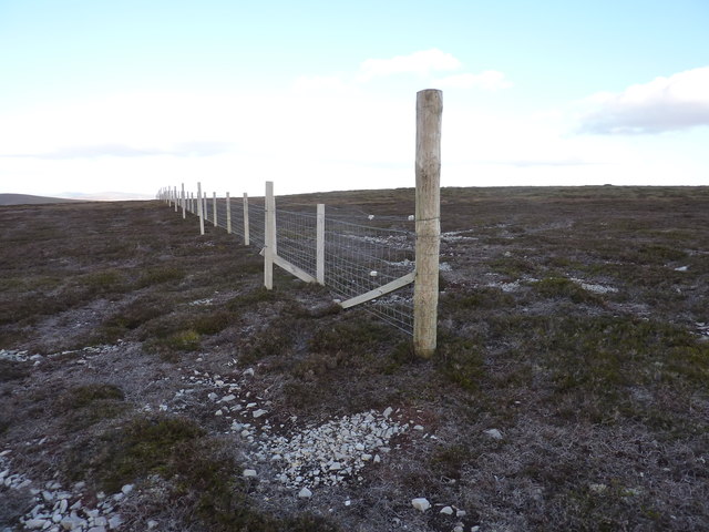
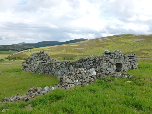
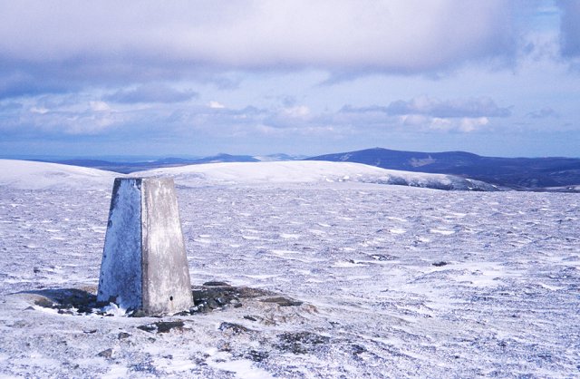
Muir of Williehead Images
Images are sourced within 2km of 57.269007/-3.1345234 or Grid Reference NJ3120. Thanks to Geograph Open Source API. All images are credited.
Muir of Williehead is located at Grid Ref: NJ3120 (Lat: 57.269007, Lng: -3.1345234)
Unitary Authority: Aberdeenshire
Police Authority: North East
What 3 Words
///yappy.amid.rezoning. Near Dufftown, Moray
Nearby Locations
Related Wikis

Badenyon
Badenyon (from Scottish Gaelic: Bad an Eòin - Knoll of the Birds) is a former clachan, or village, in Aberdeenshire, Scotland. The last farming inhabitant...

Badenyon Castle
Badenyon Castle was a castle, dating from the 13th century around 7.5 miles (12.1 km) west of Kildrummy, north of Coulins Burn, in Aberdeenshire, Scotland...

Peatfold Burn
Peatfold Burn is a burn which marks the boundary of the parish of Huntly, Aberdeenshire, Scotland. == References ==

Ladder Hills
The Ladder Hills (Scottish Gaelic: Monadh an Fhàraidh) are a range of hills in northeast Scotland which straddle the border between Aberdeenshire and Moray...
Càrn Mòr (Ladder Hills)
Càrn Mòr (804 m) is the highest mountain of the Ladder Hills on the border of Aberdeenshire and Moray, Scotland. It is located northeast of the Cairngorm...

Scalan
The Scalan was once a seminary and was one of the few places in Scotland where the Roman Catholic faith was kept alive during the troubled times of the...

Braeval distillery
Braeval distillery is a distiller of Scotch whisky in Chapeltown, Banffshire, Scotland. Founded in 1973 as Braes of Glenlivet, the distillery is owned...

Lost, Aberdeenshire
Lost (Lòsda in Scottish Gaelic; population: less than 24; grid reference NJ349132 or on 1869 map) is a hamlet in Aberdeenshire, Scotland. It lies 40 miles...
Have you been to Muir of Williehead?
Leave your review of Muir of Williehead below (or comments, questions and feedback).