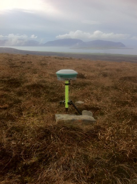
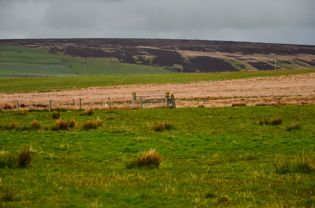
Stines Moss

Downs, Moorland in Orkney

Scotland

Stines Moss

Akla trig pillar on Ward Hill
Akla trig pillar on Ward Hill Credit: John Ferguson

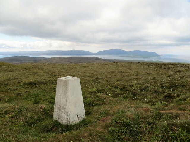
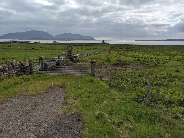
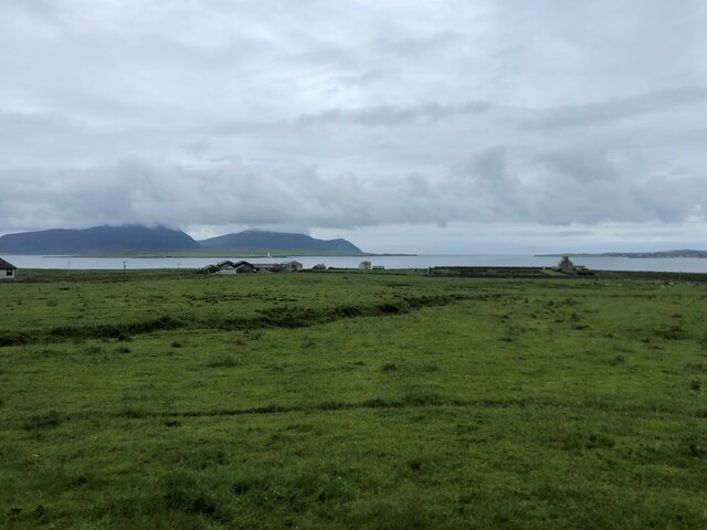
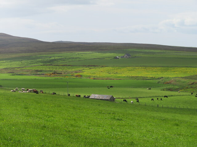
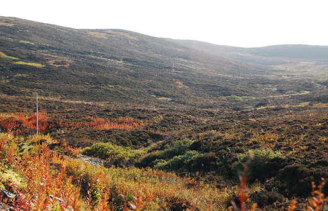
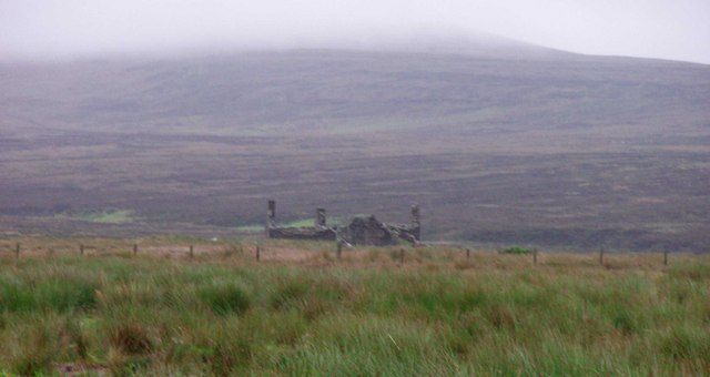
Stines Moss is a picturesque area situated in Orkney, Scotland. Known for its stunning natural beauty, it is predominantly characterized by its downs and moorland. The moss is located in close proximity to the village of Stines, which adds to its charm and accessibility.

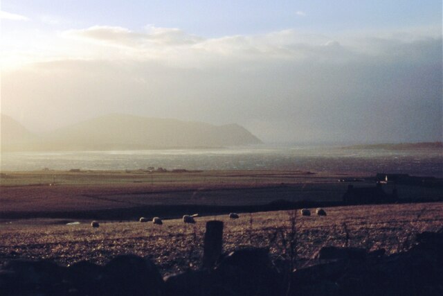
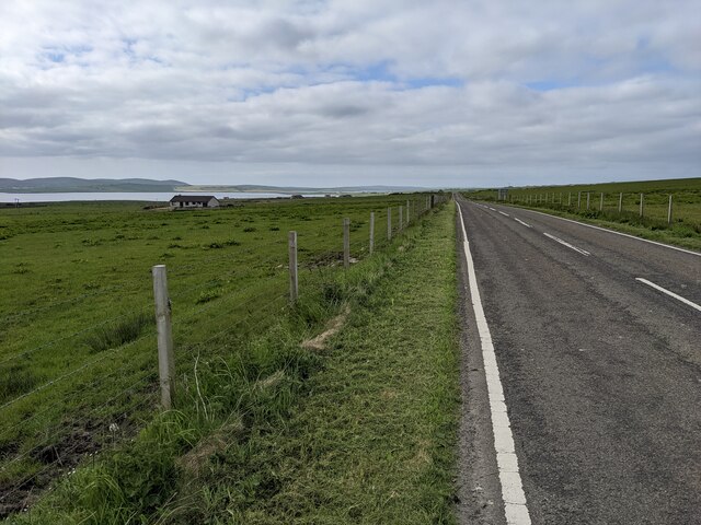
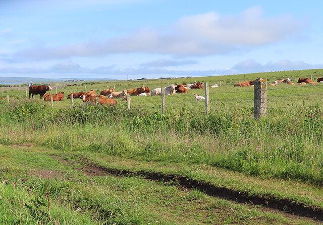
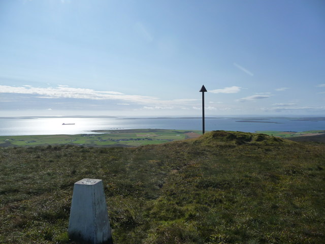
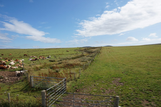
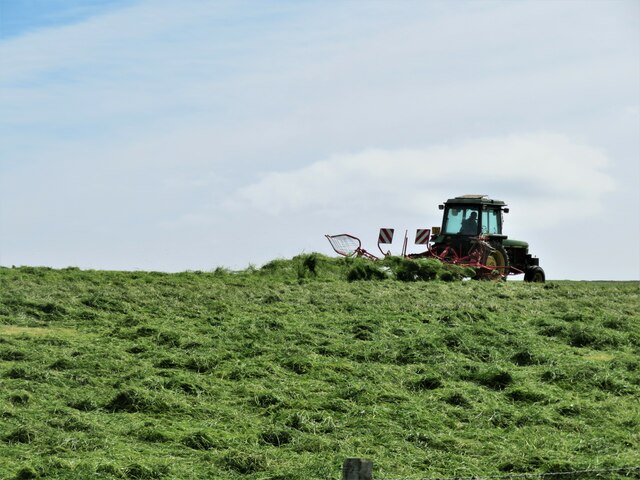
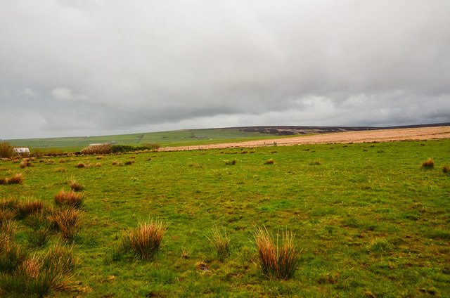
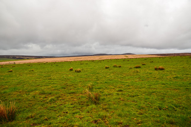
The area is covered with a diverse range of vegetation, including heather, grasses, and mosses. These create a vibrant and colorful landscape, especially during the summer months when the area is in full bloom. The downs provide a gentle rolling terrain, offering scenic views of the surrounding countryside and the nearby coastline.

Stines Moss is also home to a variety of wildlife, with several bird species frequenting the area. Bird enthusiasts can spot species such as curlews, lapwings, and skylarks. The moss is also known for its population of red grouse, which can be seen darting across the moorland.

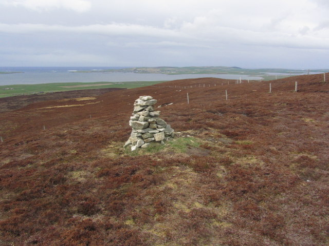
The area is a popular destination for hikers and nature lovers who are drawn to its tranquil and unspoiled environment. There are several well-maintained trails that wind through Stines Moss, allowing visitors to explore its unique flora and fauna.

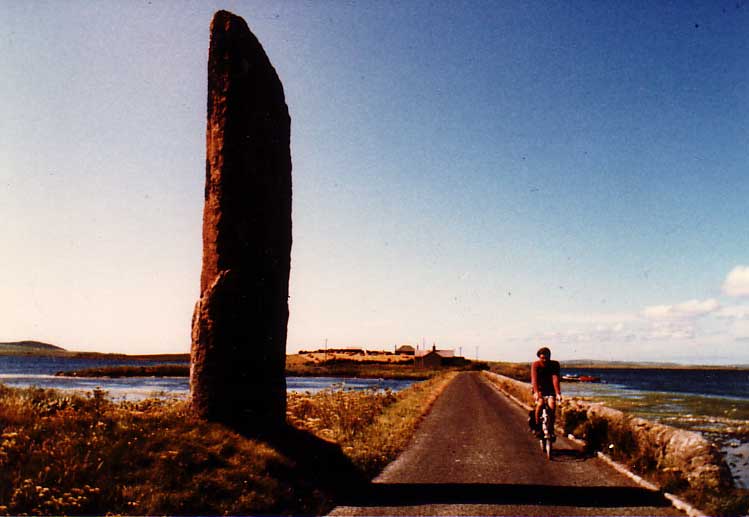
In addition to its natural beauty, Stines Moss is steeped in history. Archaeological sites, such as ancient burial mounds and standing stones, can be found in the vicinity, providing a glimpse into Orkney's rich past.

Overall, Stines Moss is a remarkable destination that offers a captivating blend of natural wonders and cultural heritage, making it a must-visit location for those seeking a true Scottish experience.

If you have any feedback on the listing, please let us know in the comments section below.

Stines Moss Images

Images are sourced within 2km of 58.957823/-3.188786 or Grid Reference HY3108. Thanks to Geograph Open Source API. All images are credited.

Akla trig pillar on Ward Hill
Sheep grazing at Settersquoy A blustery Hoy Sound in the distance.
Sheep grazing at Settersquoy
A blustery Hoy Sound in the distance.
Gate and sculpture The fenced area in the stone wall has a small sculpture in it. I couldn't tell whether this is ancient or more recently created.
Gate and sculpture
The fenced area in the stone wall has a small sculpture in it. I couldn't tell whether this is ancient or more recently created.
The A964 near Clestrain
Hall of Clestrain Farm Just above it on Graemsay Island is Sandside lighthouse and the mountains behind are on Hoy. Clestrain Sound separates Mainland from Graemsay
Hall of Clestrain Farm
Just above it on Graemsay Island is Sandside lighthouse and the mountains behind are on Hoy. Clestrain Sound separates Mainland from Graemsay
Cattle near Clestrain The ruts in the foreground are the course of the Scorradale road before it was diverted to make a safer road junction.
Cattle near Clestrain
The ruts in the foreground are the course of the Scorradale road before it was diverted to make a safer road junction.
Summit of Ward Hill Looking towards Scapa Flow
Summit of Ward Hill
Looking towards Scapa Flow
Farmland to the east of A964 at Brown Hill
Mid Hill summit, Orphir and Stenness The summit of Mid Hill, viewed from the Orphir side looking towards Stenness.
Surveyed ground height at the flat summit, 272.1m, or just under 893 feet, so under 900 feet and lower than the OS spot height of 275m, but still the highest point on Orkney Mainland. Ward Hill, to the south is often quoted as the highest point but it rises to only 269m just to the north of the trig pillar.
Mid Hill summit, Orphir and Stenness
The summit of Mid Hill, viewed from the Orphir side looking towards Stenness. Surveyed ground height at the flat summit, 272.1m, or just under 893 feet, so under 900 feet and lower than the OS spot height of 275m, but still the highest point on Orkney Mainland. Ward Hill, to the south is often quoted as the highest point but it rises to only 269m just to the north of the trig pillar.
Hillside and dale at Ireland Looking towards the valley of the Burn of Ireland from near the road end. The OS seems rather ungenerous with yellow colouring along the road to Ireland as it is shown as a white road on the 'geograph' map, whereas my 2007 edition map correctly shows it as surfaced as far as the site of an old quarry.
Hillside and dale at Ireland
Looking towards the valley of the Burn of Ireland from near the road end. The OS seems rather ungenerous with yellow colouring along the road to Ireland as it is shown as a white road on the 'geograph' map, whereas my 2007 edition map correctly shows it as surfaced as far as the site of an old quarry.
Turning the hay crop One crop that grows well on Orkney is grass, which feeds the large numbers of beef cattle on the islands. It looks as though the tractor has a rotary tedder to turn the grass and assist with drying.
Turning the hay crop
One crop that grows well on Orkney is grass, which feeds the large numbers of beef cattle on the islands. It looks as though the tractor has a rotary tedder to turn the grass and assist with drying.
Road to the Farm The Hall of Clestrain is a working cattle farm.
The more famous Hall o' Clestrain <a href="https://www.geograph.org.uk/photo/2311421">HY2907 : Hall o' Clestrain</a> is one of the many buildings on that farm.
The distant, odd shaped barn, <a href="https://www.geograph.org.uk/photo/180992">HY3007 : Farm building</a>  is in fact a displaced aircraft hangar due for possible demolition.
Road to the Farm
The Hall of Clestrain is a working cattle farm. The more famous Hall o' Clestrain HY2907 : Hall o' Clestrain is one of the many buildings on that farm. The distant, odd shaped barn, HY3007 : Farm building is in fact a displaced aircraft hangar due for possible demolition.
Looking up Russa Dale Looking towards Mid Hill.
Looking up Russa Dale
Looking towards Mid Hill.
Jubilee beacon in preparation, Ward Hill, Orkney Looking towards Scapa Flow.

The beacon was organised by the Guides and Army Cadets.
Jubilee beacon in preparation, Ward Hill, Orkney
Looking towards Scapa Flow. The beacon was organised by the Guides and Army Cadets.
Moorland by Balfour Cottage Looking north east from the fields by the A964.
Moorland by Balfour Cottage
Looking north east from the fields by the A964.
Brown Hill Looking east across the moorland.
Brown Hill
Looking east across the moorland.
Boundary Gate To the east of Balfour Cottage on the moors.
Boundary Gate
To the east of Balfour Cottage on the moors.
Summit of Gruf Hill, Orphir
Show me another place!

Stines Moss is located at Grid Ref: HY3108 (Lat: 58.957823, Lng: -3.188786)

Unitary Authority: Orkney Islands

Police Authority: Highlands and Islands

What 3 Words

///operated.inventors.heartless. Near Stenness, Orkney Islands

Nearby Locations

Stines Moss

Related Wikis

Stines Moss

Stines Moss is an elevated bog in the southwest upland area of the Orkney Mainland, Scotland. == Prehistory and history == This moss is located a few miles...

Burn of Ayreland

The Burn of Ayreland (or Ireland) is a northwesterly flowing coastal stream on Mainland Orkney, Scotland, that discharges to the Clestrain Sound about...

Hoy and West Mainland National Scenic Area

Hoy and West Mainland is a national scenic area (NSA) covering parts of the islands of Hoy and Mainland in the Orkney Islands of Scotland, as well as...
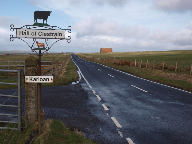
Hall of Clestrain

The Hall of Clestrain is a house in the parish of Orphir, Orkney, Scotland. The house was the birthplace of the explorer John Rae in 1813. Currently...

Happy Valley (garden)

Happy Valley is a garden created by Edwin Harrold in Stenness, Orkney, Scotland. == History == The site, which includes a house, was originally known as...

Mill of Ayreland

The Mill of Ayreland is an historic watermill driven by water force of the Burn of Ayreland, a northwesterly flowing coastal stream within Mainland Orkney...

Stenness

Stenness (pronounced ) (Old Norse: Steinnes; Norn: Stennes) is a village and parish on the Orkney Mainland in Scotland. It contains several notable prehistoric...

Orphir

Orphir (pronounced , Old Norse: Jorfjara/Orfjara) is a parish and settlement on Mainland, Orkney, Scotland. It is approximately 9 miles (14 kilometres...

Have you been to Stines Moss?

Leave your review of Stines Moss below (or comments, questions and feedback).