Pitlessie Common
Downs, Moorland in Fife
Scotland
Pitlessie Common
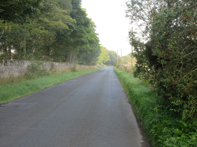
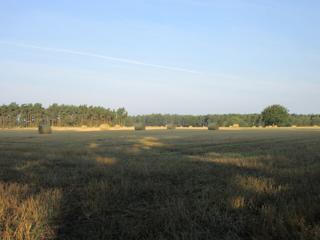
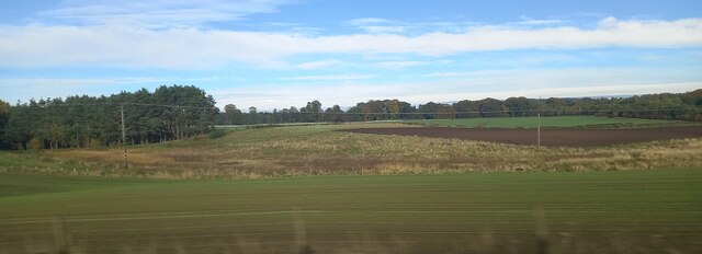
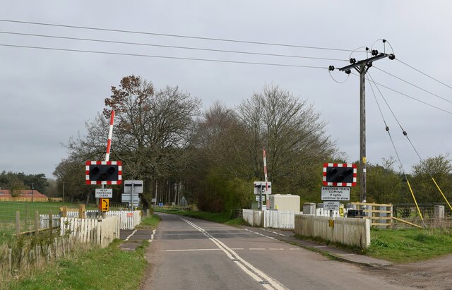
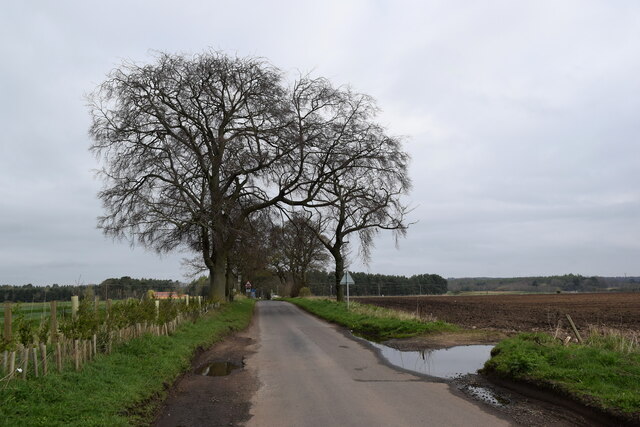
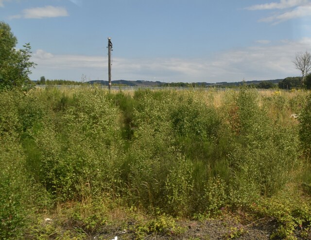
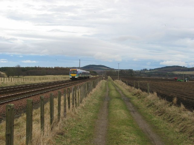
Pitlessie Common, located in the county of Fife, Scotland, is a picturesque area encompassing downs and moorland landscapes. Stretching across approximately 100 hectares, this common is nestled between the villages of Pitlessie and Ladybank. Its natural beauty and diverse ecosystem make it a popular destination for nature enthusiasts and walkers.
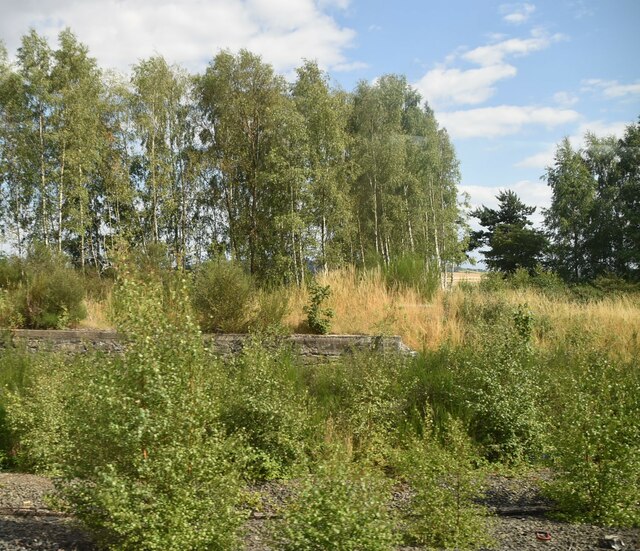
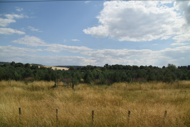
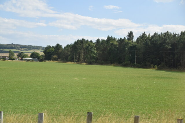
The common is characterized by its rolling hills, open grasslands, and heather-covered moorlands, offering stunning panoramic views of the surrounding countryside. The area is home to a variety of flora and fauna, including wildflowers, gorse, and heather, which provide a vibrant display of colors throughout the year. Birdwatchers can spot various species, such as red grouse, skylarks, and meadow pipits, while mammals like hares, rabbits, and deer can also be encountered.
Traversing the common are several walking trails and footpaths, allowing visitors to explore its natural wonders. One popular route is the Ladybank to Pitlessie Circular Walk, which takes walkers through the heart of the common and offers opportunities for wildlife observation and peaceful contemplation. The common provides an ideal setting for outdoor activities such as picnicking, dog walking, and photography.
Pitlessie Common is managed by the Fife Coast and Countryside Trust, which is dedicated to preserving and enhancing the natural and cultural heritage of the area. The trust works closely with local communities and volunteers to maintain the common's biodiversity and protect its unique environment.
In summary, Pitlessie Common in Fife offers a captivating blend of downs and moorland landscapes, providing a haven for nature lovers and outdoor enthusiasts seeking tranquility and natural beauty.
If you have any feedback on the listing, please let us know in the comments section below.
Pitlessie Common Images
Images are sourced within 2km of 56.280124/-3.1042742 or Grid Reference NO3110. Thanks to Geograph Open Source API. All images are credited.


Pitlessie Common is located at Grid Ref: NO3110 (Lat: 56.280124, Lng: -3.1042742)
Unitary Authority: Fife
Police Authority: Fife
What 3 Words
///punch.adapt.dining. Near Ladybank, Fife
Nearby Locations
Related Wikis

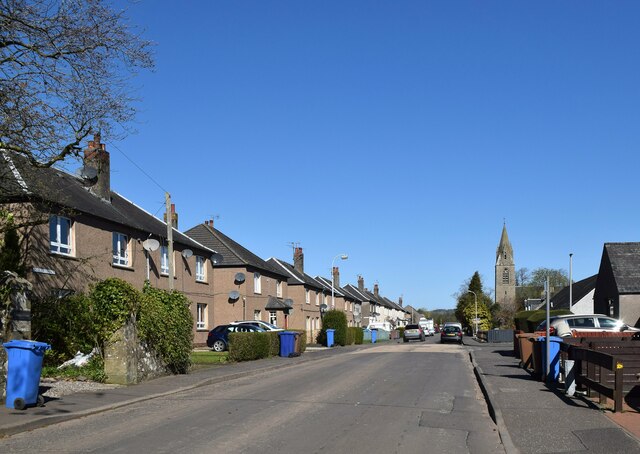
Ladybank
Ladybank () is a village and former burgh of Fife, Scotland. It is about 62 kilometres (39 mi) north of Edinburgh, 8 kilometres (5.0 mi) southwest of Cupar...

Ladybank railway station
Ladybank railway station serves the town of Ladybank in Fife, Scotland. == History == The station was opened in 1847 by the Edinburgh and Northern Railway...

Howe of Fife
The Howe of Fife is the broad, low-lying valley of the River Eden, lying between the Ochil Hills and the Lomond Hills in Fife, Scotland. Howe, in Scots...

Pitlessie
Pitlessie is a small village in Cults, Fife, Scotland. It is roughly 4+1⁄2 miles (7 km) southwest of the nearest large town, Cupar, and 23 miles (37 kilometres...

Daftmill distillery
Daftmill distillery is a single malt Scotch whisky distillery, located in a converted barn at Daftmill Farm in the Howe of Fife. The distillery was granted...

Balmalcolm
Balmalcolm is a small village in the Kettle parish of Fife, Scotland. Encompassed by the low-lying Howe of Fife, the village is roughly 5+1⁄2 miles (9...

Kingskettle
Kingskettle or often simply Kettle is a village and parish in Fife, Scotland. Encompassed by the Howe of Fife, the village is approximately 5.5 miles...

Kingskettle railway station
Kingskettle railway station served the village of Kingskettle, Fife, Scotland, from 1847 to 1967 on the Edinburgh and Northern Railway. == History == The...
Nearby Amenities
Located within 500m of 56.280124,-3.1042742Have you been to Pitlessie Common?
Leave your review of Pitlessie Common below (or comments, questions and feedback).