Cronfa Ddŵr Talybont

Lake, Pool, Pond, Freshwater Marsh in Brecknockshire

Wales

Cronfa Ddŵr Talybont

Bird Hide Bird hide at Talybont reservoir.
Bird Hide Credit: Alan Hughes

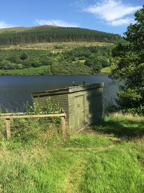
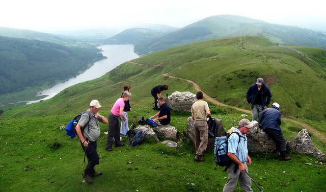
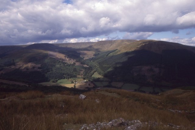
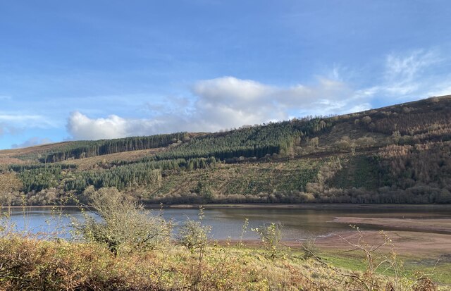
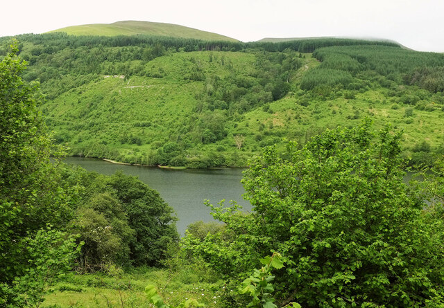
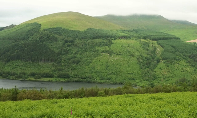
Cronfa Ddŵr Talybont, located in Brecknockshire, is a picturesque freshwater ecosystem consisting of a lake, pool, pond, and freshwater marsh. Situated amidst the stunning natural landscape of Wales, this water body serves as an important habitat for a diverse range of flora and fauna.

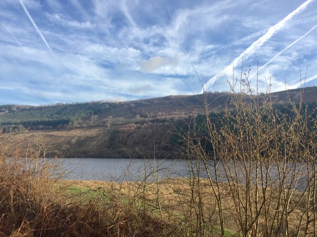
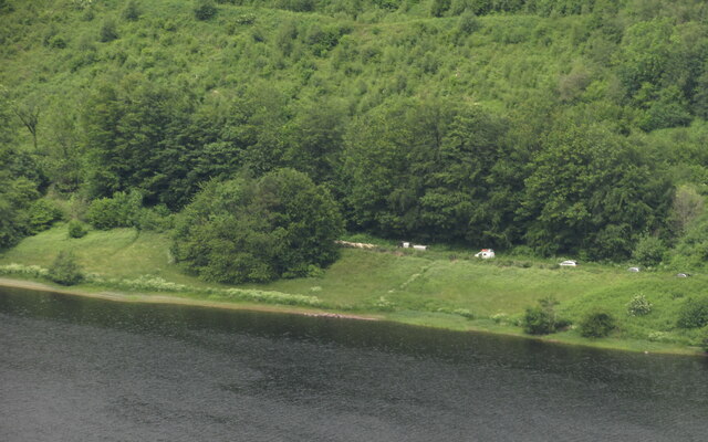
The lake in Cronfa Ddŵr Talybont is a large body of water, characterized by its calm and serene surface. It is fed by several small streams and springs, ensuring a constant supply of fresh water. The lake is home to various species of fish, including brown trout and pike, which thrive in its nutrient-rich waters.

Adjacent to the lake is a smaller pool, which is shallower and often frequented by waterfowl. This pool provides an ideal breeding ground for amphibians such as frogs and newts. The tranquil atmosphere of the pool also attracts a variety of bird species, making it a popular spot for birdwatchers.

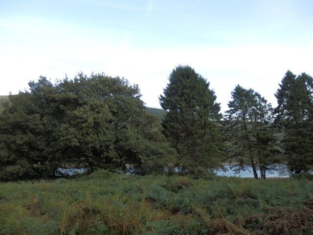
A smaller pond can also be found within the vicinity of Cronfa Ddŵr Talybont. This pond is densely populated with aquatic plants, such as water lilies and reeds, creating a vibrant and lush environment. It serves as a valuable habitat for insects, amphibians, and smaller fish species.

Lastly, the freshwater marsh in Cronfa Ddŵr Talybont is a wetland area characterized by its waterlogged soil and abundant vegetation. This marshland provides a breeding ground for various bird species, including wading birds such as herons and egrets. Additionally, it supports a diverse range of plant species, including sedges and rushes.

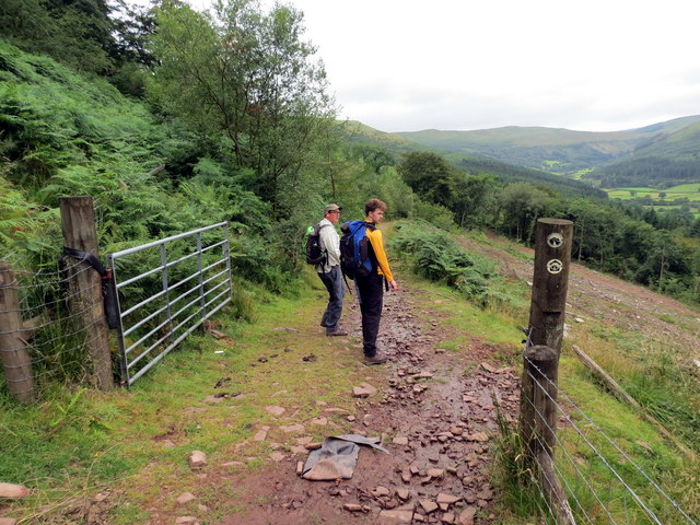
Overall, Cronfa Ddŵr Talybont is a haven for wildlife and a scenic destination for nature enthusiasts. Its combination of a lake, pool, pond, and freshwater marsh creates a unique and diverse ecosystem that is cherished by both locals and tourists alike.

If you have any feedback on the listing, please let us know in the comments section below.

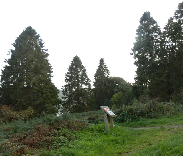
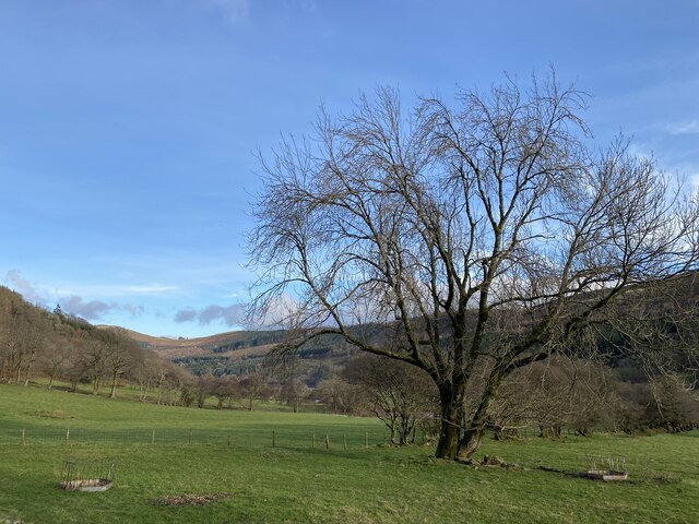
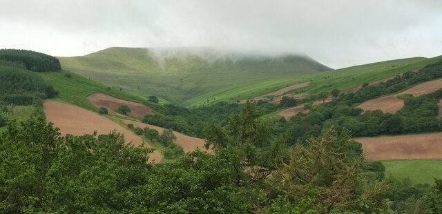
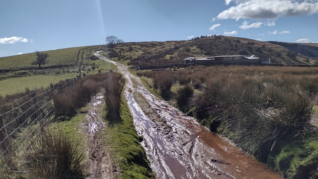
Cronfa Ddŵr Talybont Images

Images are sourced within 2km of 51.852354/-3.3171608 or Grid Reference SO0917. Thanks to Geograph Open Source API. All images are credited.

Bird Hide Bird hide at Talybont reservoir.
Bird Hide
Bird hide at Talybont reservoir.
Uwchben Glyn Collwn / Above Glyn Collwn Cerddwyr yn dilyn Ffordd y Bannau uwchben Glyn Collwn.

Walkers following the Beacons Way above Glyn Collwn (trans. Collwn valley)
Uwchben Glyn Collwn / Above Glyn Collwn
Cerddwyr yn dilyn Ffordd y Bannau uwchben Glyn Collwn. Walkers following the Beacons Way above Glyn Collwn (trans. Collwn valley)
Ffordd y Bannau /  Beacons Way Cerddwyr yn dilyn Ffordd y Bannau i gyfeiriad Blaen y Glyn.

Walkers following the Beacons Way in the direction of Blaen y Glyn (trans. head of the valley).
Ffordd y Bannau / Beacons Way
Cerddwyr yn dilyn Ffordd y Bannau i gyfeiriad Blaen y Glyn. Walkers following the Beacons Way in the direction of Blaen y Glyn (trans. head of the valley).
Ffordd y Bannau / Beacons Way Cerddwyr yn dilyn Ffordd y Bannau / Ffordd Taf.

Walkers following the Beacons Way / Taff Trail.
Ffordd y Bannau / Beacons Way
Cerddwyr yn dilyn Ffordd y Bannau / Ffordd Taf. Walkers following the Beacons Way / Taff Trail.
Capel Glyn Collwng Veteran Yew A veteran Yew sits in the corner of the churchyard of the now ruinous Church.
Capel Glyn Collwng Veteran Yew
A veteran Yew sits in the corner of the churchyard of the now ruinous Church.
Pen Bwlch Glasgwm Cerddwyr uwchben Pen Bwlch Glasgwm gyda Chronfa Ddwr Talybont yn y pellter.

Walkers above Pen Bwlch Glasgwm (trans. top of the green valley pass) with Talybont Reservoir (trans. end of the bridge) in the distance.
Pen Bwlch Glasgwm
Cerddwyr uwchben Pen Bwlch Glasgwm gyda Chronfa Ddwr Talybont yn y pellter. Walkers above Pen Bwlch Glasgwm (trans. top of the green valley pass) with Talybont Reservoir (trans. end of the bridge) in the distance.
Talybont Reservoir View across Talybont reservoir towards Mynydd Llangynidr.
Talybont Reservoir
View across Talybont reservoir towards Mynydd Llangynidr.
Pen Bwlch Glasgwm With a fine view up the Nant Cynafon towards Waun Rydd.
Pen Bwlch Glasgwm
With a fine view up the Nant Cynafon towards Waun Rydd.
Bank at Talybont Reservoir
Picnic Area and Information Board near Talybont Reservoir
Solitary tree Tree at the head of Glyn Collwn above Talybont reservoir.
Solitary tree
Tree at the head of Glyn Collwn above Talybont reservoir.
Talybont reservoir View across the southern end of Talybont reservoir.
Talybont reservoir
View across the southern end of Talybont reservoir.
Cwm Tarthwynni The valley descends from Craig y Fan, partly cloud-covered, to the Talybont Reservoir. Viewed here from the Taff Trail across the lake.
Cwm Tarthwynni
The valley descends from Craig y Fan, partly cloud-covered, to the Talybont Reservoir. Viewed here from the Taff Trail across the lake.
Across the Talybont Reservoir (2) With Allt Lwyd the summit left of centre at 654 metres, and Talybont Forest clothing the slopes. The flat summit of Craig y Fan, over a hundred metres higher, is still under cloud.
Across the Talybont Reservoir (2)
With Allt Lwyd the summit left of centre at 654 metres, and Talybont Forest clothing the slopes. The flat summit of Craig y Fan, over a hundred metres higher, is still under cloud.
Allt Lwyd A similar view across Talybont Reservoir to <a href="https://www.geograph.org.uk/photo/7210379">SO1018 : View from Bryn Melyn</a>, but from higher up the path across Bryn Melyn.
Allt Lwyd
A similar view across Talybont Reservoir to SO1018 : View from Bryn Melyn, but from higher up the path across Bryn Melyn.
Traffic jam by Talybont Reservoir A flock of sheep holds up the traffic on the lane up the Caerfanell valley.
Traffic jam by Talybont Reservoir
A flock of sheep holds up the traffic on the lane up the Caerfanell valley.
Heading south on the lane next to Talybont Reservoir
Restricted Byway Restricted Byway heading past farm buildings towards Pen Bwlch Glasgwym
Restricted Byway
Restricted Byway heading past farm buildings towards Pen Bwlch Glasgwym
Show me another place!

Cronfa Ddŵr Talybont is located at Grid Ref: SO0917 (Lat: 51.852354, Lng: -3.3171608)

Unitary Authority: Powys

Police Authority: Dyfed Powys

Also known as: Talybont Reservoir

What 3 Words

///desktops.signs.already. Near Llangynidr, Powys

Related Wikis

Pentir Rhiw railway station

Pentir Rhiw railway station (alternatively, Pant-y-rhiw railway station) was a station adjacent to Talybont Reservoir in Powys, Wales. The station was...

Talybont Reservoir

Talybont Reservoir (Welsh: Cronfa Ddŵr Tal-y-bont) is the largest stillwater reservoir in the central Brecon Beacons at 318 acres (1.29 km2). Talybont...
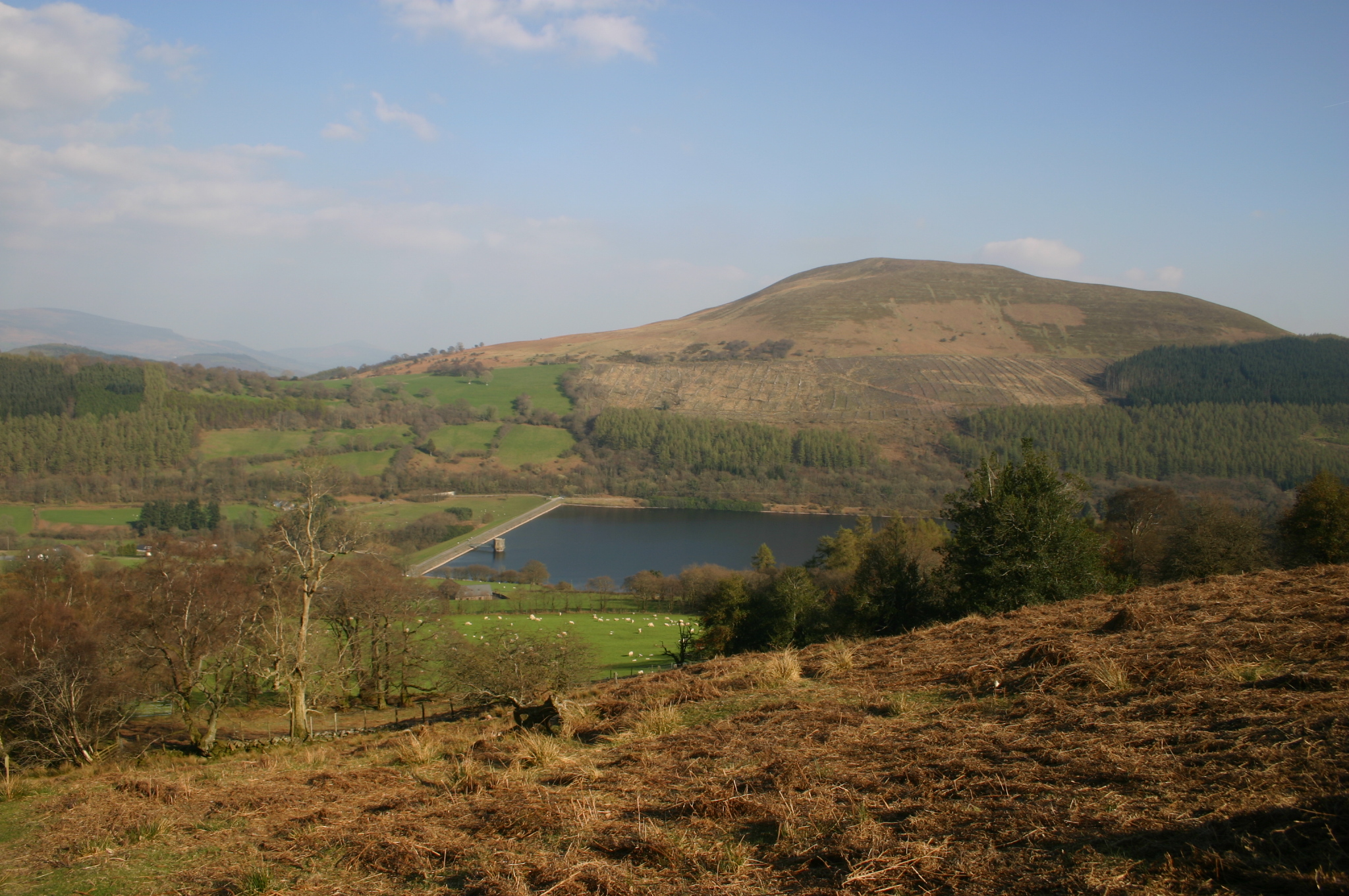
Tor y Foel

Tor y Foel is a hill in the Brecon Beacons National Park in the county of Powys in Wales. It is located on the eastern flank of Talybont Reservoir, and...

Aber Village

Aber Village or Aber Clydach is a hamlet within the Brecon Beacons National Park in Powys, Wales. It is centred on the minor road which runs south from...

Nearby Amenities

Located within 500m of 51.852354,-3.3171608
Leisure: bird_hide
Shelter: yes
Source: GPS Survey
Lat/Long: 51.852454/-3.3216352
The data included in this document is from www.openstreetmap.org. The data is made available under ODbL.

Have you been to Cronfa Ddŵr Talybont?

Leave your review of Cronfa Ddŵr Talybont below (or comments, questions and feedback).