Stevenston Loch

Lake, Pool, Pond, Freshwater Marsh in Ayrshire

Scotland

Stevenston Loch

Pennyburn Roundabout
Pennyburn Roundabout Credit: Alan Reid

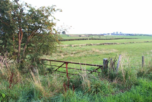
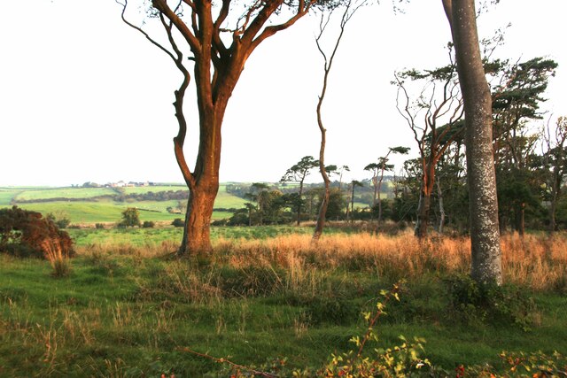
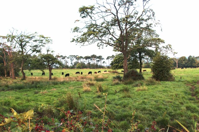
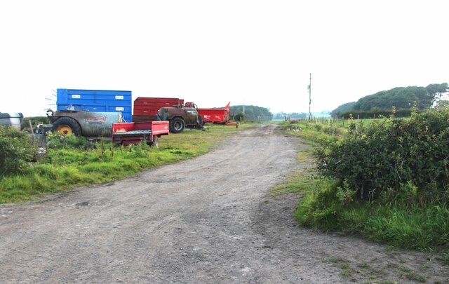
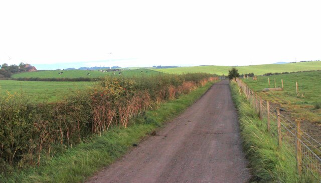
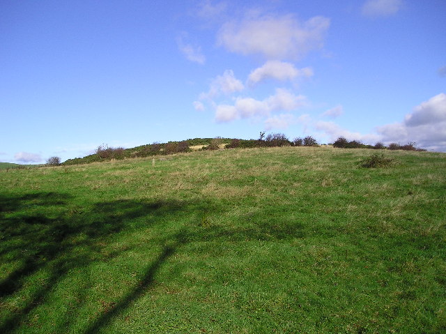
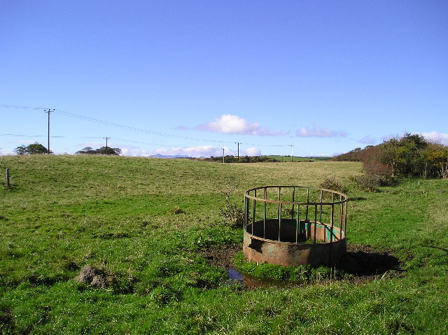
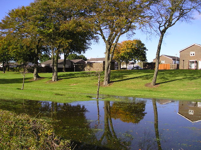
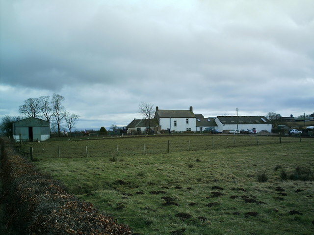
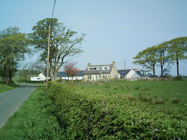
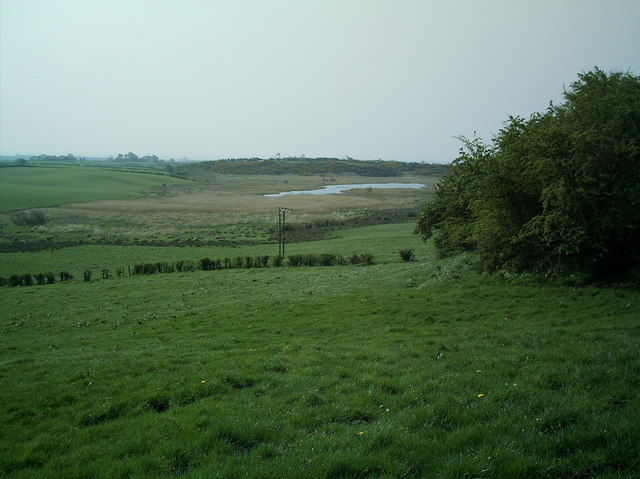
Stevenston Loch is a freshwater body located in Ayrshire, Scotland. It is situated near the town of Stevenston and covers an area of approximately 30 acres. The loch is surrounded by lush greenery, making it a picturesque spot for nature enthusiasts.

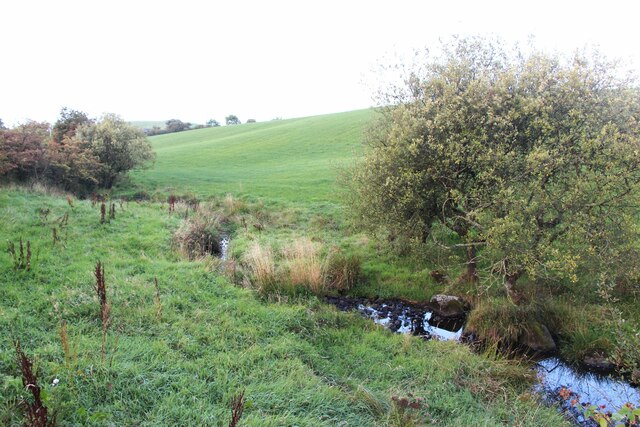
The water in Stevenston Loch is primarily sourced from rainfall and surface runoff, resulting in a relatively shallow body of water with a maximum depth of around 6 feet. The loch is known for its calm and tranquil atmosphere, providing a peaceful retreat for those seeking relaxation or a break from city life.

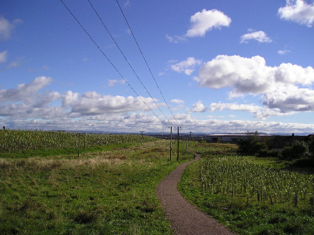
The surrounding vegetation includes reeds, rushes, and various types of aquatic plants, creating a diverse habitat for a range of wildlife. Birdwatchers will particularly appreciate the loch, as it serves as a home and feeding ground for a variety of bird species, including swans, ducks, coots, and moorhens. The loch is also frequented by anglers, who enjoy fishing for species such as perch and pike.

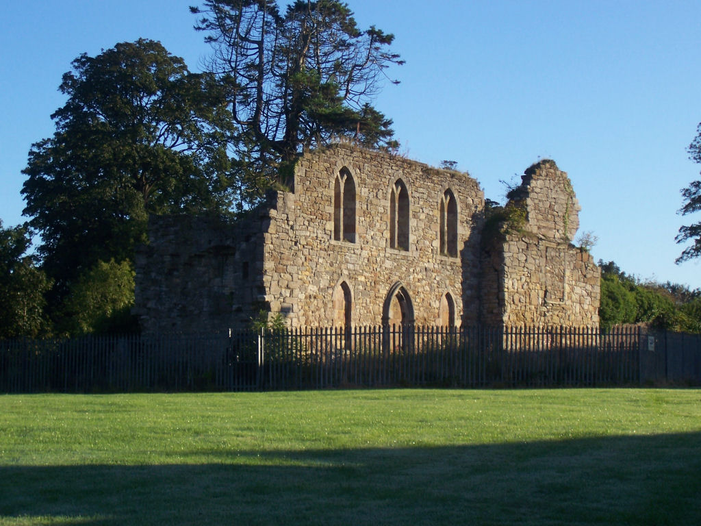
In addition to its natural beauty, Stevenston Loch has historical significance as well. The nearby ruins of a medieval castle, known as Ardeer Castle, overlook the loch, adding a touch of heritage to the area.

Overall, Stevenston Loch is a tranquil freshwater body, offering a haven for wildlife and a serene setting for visitors to enjoy the beauty of nature.

If you have any feedback on the listing, please let us know in the comments section below.

Stevenston Loch Images

Images are sourced within 2km of 55.661865/-4.7435503 or Grid Reference NS2744. Thanks to Geograph Open Source API. All images are credited.

Pennyburn Roundabout
Gateway to pasture
Gateway to pasture
Early sun cuts through an old shelter-belt
Cattle grazing at Lochwood
Farm vehicles parked by Auld Clay Road
Tributary of Stevenston Burn
Road to Towerlodge
Road to Towerlodge
Fellie Hill Field with tree shadows on the lower slopes of Fellie Hill, photograph taken from the road just west of Greenhead Smallholdings.
Fellie Hill
Field with tree shadows on the lower slopes of Fellie Hill, photograph taken from the road just west of Greenhead Smallholdings.
Feeding Station Cattle feed container and hedgerow.
Feeding Station
Cattle feed container and hedgerow.
Footpath Footpath to join the A738 to Kilwinning. The newly planted trees, landscaping on the left of the picture hide the new A78 bypass route.
Footpath
Footpath to join the A738 to Kilwinning. The newly planted trees, landscaping on the left of the picture hide the new A78 bypass route.
Reflections Flooded area of landscaping bordering the A738, and adjacent to the housing estate. After several days' rain the flooding might be expected, but the dead young trees in the landscaping may be drowned if the ground is regularly waterlogged.
Reflections
Flooded area of landscaping bordering the A738, and adjacent to the housing estate. After several days' rain the flooding might be expected, but the dead young trees in the landscaping may be drowned if the ground is regularly waterlogged.
Farm View across fields to Gateside Farm.
Farm
View across fields to Gateside Farm.
Gateside Farm Gateside farm on a dull March Day with the riding school between the barn at the left of the picture and the main farm buildings
Gateside Farm
Gateside farm on a dull March Day with the riding school between the barn at the left of the picture and the main farm buildings
Snowy day
Snowy day
Mansfield Church This modern circular Church replaced the old Mansfield Church nearer the town centre which was sold and is now a creche
Mansfield Church
This modern circular Church replaced the old Mansfield Church nearer the town centre which was sold and is now a creche
Whitehirst Farm This former Farm has been converted into a large private dwelling place
Whitehirst Farm
This former Farm has been converted into a large private dwelling place
Ashgrove Loch This Loch has probably got the remains of 6 Prehistoric Crannogs. One of these in particular has been described as peculiar if not unique in that it was constructed solely with stone without the intervention of wooden piles or beams and being nearly circular with a 43 ft outer diameter ( Source:Prehistoric man in Ayrshire John Smith 1895 ).
Ashgrove Loch
This Loch has probably got the remains of 6 Prehistoric Crannogs. One of these in particular has been described as peculiar if not unique in that it was constructed solely with stone without the intervention of wooden piles or beams and being nearly circular with a 43 ft outer diameter ( Source:Prehistoric man in Ayrshire John Smith 1895 ).
Diddup Farm Immaculately Whitewashed Farmhouse
Diddup Farm
Immaculately Whitewashed Farmhouse
Show me another place!

Stevenston Loch is located at Grid Ref: NS2744 (Lat: 55.661865, Lng: -4.7435503)

Unitary Authority: North Ayrshire

Police Authority: Ayrshire

Also known as: Ashgrove Loch

What 3 Words

///blushed.shadowing.work. Near Kilwinning, North Ayrshire

Related Wikis

Lands of Ashgrove

The Lands of Ashgrove, previously known as Ashenyards, formed a small estate in the Parish of Kilwinning, North Ayrshire, lying between Kilwinning and...

Kerelaw House

Kerelaw House was part of the former Kerelaw Estate situated on the west coast of Ayrshire, Scotland, in the town of Stevenston. == History == The house...

Kerelaw Castle

Kerelaw Castle is a castle ruin. It is situated on the coast of North Ayrshire, Scotland in the town of Stevenston. == History == This castle, variously...

Stevenston

Stevenston (Scots: Steenstoun, Scottish Gaelic: Baile Steaphain) is a town and parish in North Ayrshire, Scotland. Along with Ardrossan and Saltcoats it...

Kilwinning railway station

Kilwinning railway station is a railway station serving the town of Kilwinning, North Ayrshire, Scotland. The station is managed by ScotRail and is on...

Piperheugh

Piperheugh, Piper's-Heugh, or even Piperhaugh was a hamlet in North Ayrshire, Parish of Stevenston, Scotland. The inhabitants were recorded as famous manufacturers...

North Ayrshire

North Ayrshire (Scottish Gaelic: Siorrachd Àir a Tuath, pronounced [ˈʃirˠəxk aːɾʲ ə ˈt̪ʰuə]) is one of 32 council areas in Scotland. The council area borders...

Dalgarven

The tiny village of Dalgarven in North Ayrshire, Scotland is located just north of Kilwinning on the road to Dalry. == History == In 1881 some two hundred...

Nearby Amenities

Located within 500m of 55.661865,-4.7435503
Power: pole
Lat/Long: 55.6662091/-4.7436021
Power: pole
Lat/Long: 55.6659953/-4.7447883
Power: pole
Lat/Long: 55.6657851/-4.745882
Power: pole
Lat/Long: 55.6655487/-4.7470159
Power: pole
Lat/Long: 55.6653385/-4.748085
Place: farm
Lat/Long: 55.6576216/-4.742941
The data included in this document is from www.openstreetmap.org. The data is made available under ODbL.

Have you been to Stevenston Loch?

Leave your review of Stevenston Loch below (or comments, questions and feedback).