Gulpher Pond
Lake, Pool, Pond, Freshwater Marsh in Suffolk East Suffolk
England
Gulpher Pond

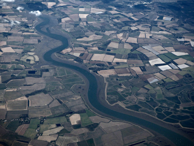
Gulpher Pond is a picturesque body of water located in Suffolk, England. It is classified as a freshwater pool or pond and is situated within the Suffolk Coast and Heaths Area of Outstanding Natural Beauty.
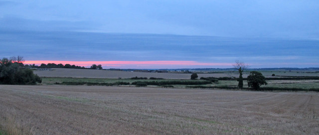
Covering an area of approximately 5 acres, Gulpher Pond is a popular destination for both locals and tourists seeking tranquility and natural beauty. Surrounded by lush greenery, the pond offers a serene and peaceful setting for visitors to enjoy.
The water in Gulpher Pond is crystal clear and supports a diverse ecosystem. It is home to various species of fish, including common carp, roach, perch, and pike, making it a favorite spot for anglers. Birdwatchers also flock to the area, as the pond attracts a wide range of bird species, such as swans, ducks, geese, and herons.
The pond is encompassed by a freshwater marsh, which provides a vital habitat for numerous plants and wildlife. The marshland is teeming with reeds, rushes, and other water-loving plants, creating a rich and vibrant ecosystem.
Gulpher Pond offers various recreational activities for visitors. Fishing is a popular pastime, with many anglers enjoying the peaceful ambiance while trying to catch their next big fish. Additionally, the calm waters of the pond make it an ideal spot for boating and canoeing.
Overall, Gulpher Pond is a haven of natural beauty and biodiversity in Suffolk. Its tranquil atmosphere, diverse wildlife, and recreational opportunities make it a must-visit destination for nature enthusiasts and those seeking a peaceful escape from the hustle and bustle of everyday life.
If you have any feedback on the listing, please let us know in the comments section below.
Gulpher Pond Images
Images are sourced within 2km of 51.981485/1.3546724 or Grid Reference TM3036. Thanks to Geograph Open Source API. All images are credited.


Gulpher Pond is located at Grid Ref: TM3036 (Lat: 51.981485, Lng: 1.3546724)
Administrative County: Suffolk
District: East Suffolk
Police Authority: Suffolk
What 3 Words
///swing.woke.formal. Near Felixstowe, Suffolk
Nearby Locations
Related Wikis

Ipswich Town F.C. Women
Ipswich Town Football Club Women is a women's team affiliated with Ipswich Town Football Club. They currently compete in the FA Women's Premier League...
Felixstowe & Walton United F.C.
Felixstowe and Walton United Football Club is a football club based in Felixstowe, Suffolk, England. Formed in 2000 by a merger of Felixstowe Port & Town...

Walton, Suffolk
Walton is a settlement and former civil parish, now in the parish of Felixstowe, in the East Suffolk district, in the county of Suffolk, England, lying...
Upper Mill, Walton
Upper Mill or Walton Mill is a Grade II listed smock mill at Walton, Suffolk, England, which has been conserved. == History == Upper Mill was built in...
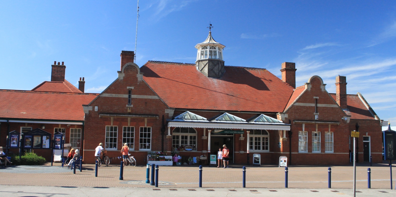
Felixstowe railway station
Felixstowe railway station is the eastern passenger terminus of the Felixstowe Branch Line, in the east of England and is the only surviving station serving...
Felixstowe International College
Felixstowe International College is an independent school founded in 1995 in Felixstowe, Suffolk, England. == See also == List of schools in Suffolk...
Brackenbury Battery
Brackenbury Battery was a small coastal artillery fort located just north of Felixstowe, England,and initially known as Felixstowe Battery. It opened in...

Felixstowe Ferry Golf Club
The Felixstowe Ferry Golf Club is in Felixstowe, Suffolk, England. == History == The club was founded in 1880. Francis Charteris, Lord Elcho, is considered...
Nearby Amenities
Located within 500m of 51.981485,1.3546724Have you been to Gulpher Pond?
Leave your review of Gulpher Pond below (or comments, questions and feedback).