Quill

Lake, Pool, Pond, Freshwater Marsh in Suffolk East Suffolk

England

Quill

Field off Lodge Farm Lane
Field off Lodge Farm Lane Credit: Christopher Hilton

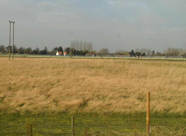
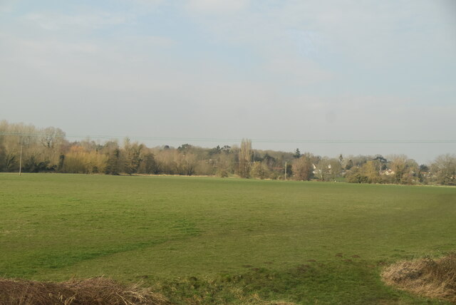
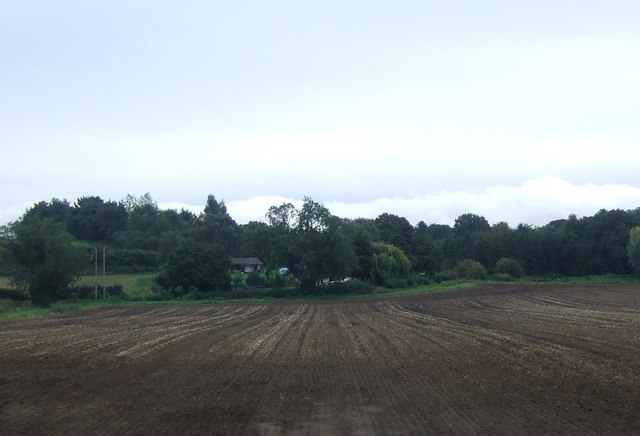
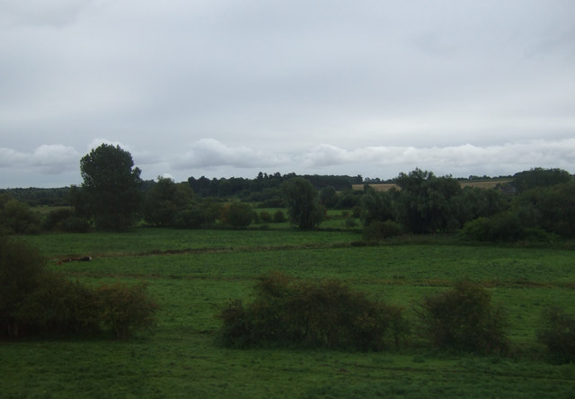
Quill, Suffolk is a picturesque region located in the eastern part of England, known for its stunning natural features, including a lake, pool, pond, and freshwater marsh. Situated amidst rolling green hills and lush countryside, Quill offers visitors a tranquil and idyllic setting to reconnect with nature.

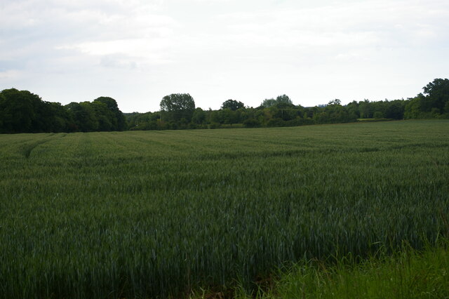
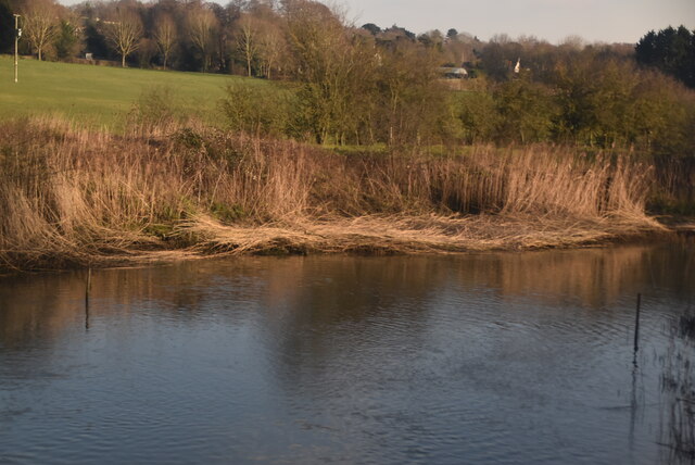
The centerpiece of Quill is its expansive lake, which spans over a significant area. The lake is surrounded by verdant vegetation and provides a serene environment for boating, fishing, and other water-based activities. Its crystal-clear waters are home to an array of fish species, making it a popular spot for anglers.

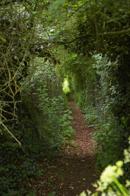
Adjacent to the lake, a small pool can be found, offering a more intimate and secluded spot for those seeking solitude. This pool is surrounded by marshy areas teeming with diverse plant and animal life, creating a vibrant ecosystem that attracts nature enthusiasts and birdwatchers alike.

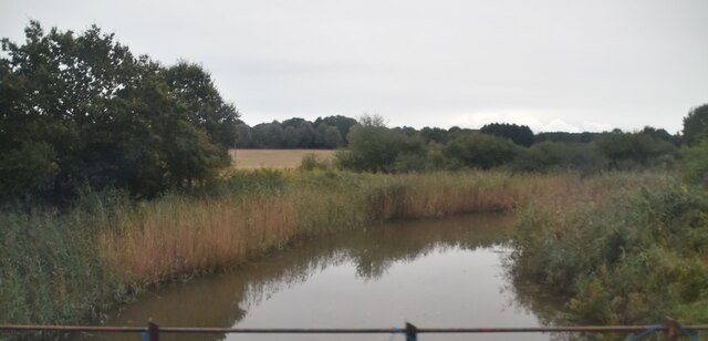
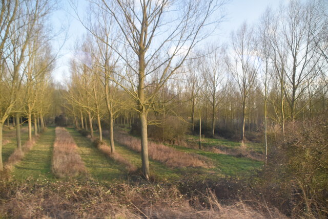
A peaceful pond is another natural gem that can be found in Quill. Nestled amidst a grove of trees, this pond is a haven for various species of waterfowl, amphibians, and small fish. Visitors can enjoy leisurely walks along the pond's edge or simply relax and soak in the tranquility of the surroundings.

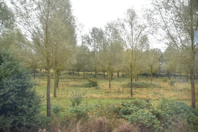
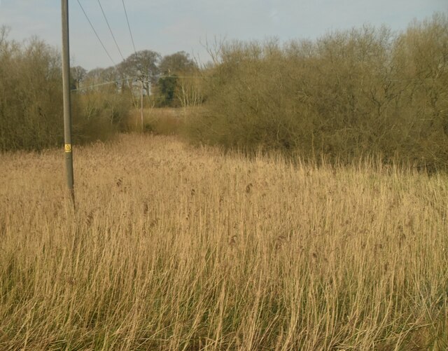
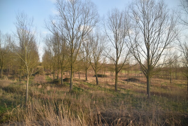
Lastly, Quill boasts a sprawling freshwater marsh, which is a unique and valuable ecosystem supporting a wide range of plants and wildlife. This marshland is home to rare and endangered species, including various water birds, insects, and amphibians. Nature enthusiasts can explore the marsh on designated walking trails, observing the delicate balance of nature and the important role the marsh plays in maintaining the local biodiversity.

In summary, Quill, Suffolk offers a diverse range of natural features, including a lake, pool, pond, and freshwater marsh, which collectively provide a haven for outdoor enthusiasts and nature lovers seeking solace in a breathtaking landscape.

If you have any feedback on the listing, please let us know in the comments section below.

Quill Images

Images are sourced within 2km of 52.118095/1.3614807 or Grid Reference TM3051. Thanks to Geograph Open Source API. All images are credited.

Field off Lodge Farm Lane
Footpath heading south at Hospital Grove
River Deben The recognised source is to the west of Debenham, though a second, higher source runs south from the parish of Bedingfield. The river, which is just over 33 miles long, passes through Woodbridge, where it becomes a tidal estuary before emptying into the North Sea between Felixstowe and Bawdsey at Harwich Haven.
River Deben
The recognised source is to the west of Debenham, though a second, higher source runs south from the parish of Bedingfield. The river, which is just over 33 miles long, passes through Woodbridge, where it becomes a tidal estuary before emptying into the North Sea between Felixstowe and Bawdsey at Harwich Haven.
Open woodland
Open woodland
Industrial units
Industrial units
A1152 Orford Road Towards Orford, but the A1152 turns away from the Orford road towards Snape. It does not even reach that, becoming a B road after Rendlesham where a former American air base, RAF Bentwaters, was probably the reason for its A status.
A1152 Orford Road
Towards Orford, but the A1152 turns away from the Orford road towards Snape. It does not even reach that, becoming a B road after Rendlesham where a former American air base, RAF Bentwaters, was probably the reason for its A status.
A1152 towards Melton
Hourglass in the Church of St Mary of the Assumption Fixed to the wall near the pulpit as an aid for timing the sermons. Ufford parishioners in 1641 complained that their rector, Richard Lufkin or Lovekin,  was "a very cold preacher and a common swearer".
Hourglass in the Church of St Mary of the Assumption
Fixed to the wall near the pulpit as an aid for timing the sermons. Ufford parishioners in 1641 complained that their rector, Richard Lufkin or Lovekin, was "a very cold preacher and a common swearer".
Grasses
Grasses
Large field
Large field
Lines of trees
Lines of trees
Plantation
Plantation
River Deben The recognised source is to the west of Debenham, though a second, higher source runs south from the parish of Bedingfield. The river, which is just over 33 miles long, passes through Woodbridge, where it becomes a tidal estuary before emptying into the North Sea between Felixstowe and Bawdsey at Harwich Haven.
River Deben
The recognised source is to the west of Debenham, though a second, higher source runs south from the parish of Bedingfield. The river, which is just over 33 miles long, passes through Woodbridge, where it becomes a tidal estuary before emptying into the North Sea between Felixstowe and Bawdsey at Harwich Haven.
Works units
Works units
Grazing near Low Farm
Field near Summer Lane Farm
Fields near Low Farm
Show me another place!

Quill is located at Grid Ref: TM3051 (Lat: 52.118095, Lng: 1.3614807)

Administrative County: Suffolk

District: East Suffolk

Police Authority: Suffolk

What 3 Words

///toolkit.hopefully.fast. Near Rendlesham, Suffolk

Nearby Locations

Quill

Related Wikis

Ufford, Suffolk

Ufford is a village and civil parish in Suffolk, England. Its population of 808 at the 2001 census rose to 948 at the 2011 Census and was estimated at...

Bromeswell

Bromeswell is a village and civil parish in the East Suffolk district of Suffolk, England about 2 miles east of Woodbridge. Situated near the River Deben...

Bromeswell Green

Bromeswell Green is a 7.2-hectare (18-acre) nature reserve in Bromeswell, east of Woodbridge in Suffolk. It is managed by the Suffolk Wildlife Trust. This...

St Audry's Hospital

St Audry's Hospital was a psychiatric hospital in Melton, Suffolk, England. == History == The facility has its origins in a house of industry which was...

Related Videos

Cheeky Mid-Week Adventure. 02/10/19

So as we had an afternoon off, we decided to take Adventure Dog for a different walk. 6.5km from Melton, through Bromeswell, ...

4k Evening Awe Walk Beside River Deben Woodbridge, Suffolk England

4k evening awe Walk..Relax and join me on this peaceful riverside Nature Awe Walk in Woodbridge Suffolk, England. Allow the ...

4k Gentle Peaceful Walk through Snow in the Park, England

4k Gentle Peaceful Walk through Snow in the Park. Reduce stress and anxiety by joining me on this short virtual Awe walk ...

Hotel, Golf & Spa: Ufford Park Woodbridge.

A mere 20 minutes from Ipswich, 120 acres of historic parkland in which to relax. http://www.uffordpark.co.uk We offer high ...

Nearby Amenities

Located within 500m of 52.118095,1.3614807
Railway: level_crossing
Lat/Long: 52.1172413/1.3633572
Uffa Brewery
Craft: brewery
Lat/Long: 52.1186059/1.3565992
Turning Circle
Lat/Long: 52.1201744/1.3569153
Leisure: picnic_table
Lat/Long: 52.1185255/1.3565554
Leisure: picnic_table
Lat/Long: 52.1185259/1.3566754
Leisure: picnic_table
Lat/Long: 52.1185436/1.3565004
Leisure: picnic_table
Lat/Long: 52.1185695/1.3565641
Leisure: picnic_table
Lat/Long: 52.1186049/1.356774
Leisure: picnic_table
Lat/Long: 52.118579/1.3567431
Leisure: picnic_table
Lat/Long: 52.1185559/1.3567143
Leisure: picnic_table
Lat/Long: 52.1185543/1.3566613
Leisure: picnic_table
Lat/Long: 52.1185461/1.3566197
Leisure: picnic_table
Lat/Long: 52.1185576/1.3565889
Leisure: picnic_table
Lat/Long: 52.1185761/1.3565353
Parking
Lat/Long: 52.118705/1.3568799
Parking
Lat/Long: 52.1189133/1.355693
Power: pole
Lat/Long: 52.1160179/1.3554892
Power: pole
Lat/Long: 52.1172532/1.3563716
Power: pole
Lat/Long: 52.1179828/1.3569054
Power: pole
Lat/Long: 52.1219288/1.360057
Power: pole
Lat/Long: 52.1207809/1.3591343
Power: pole
Lat/Long: 52.1195573/1.3592872
Power: pole
Lat/Long: 52.1189282/1.3581446
Parking
Lat/Long: 52.1211095/1.3562308
Parking
Lat/Long: 52.1206772/1.35552
Power: pole
Lat/Long: 52.1188355/1.3650852
Power: pole
Lat/Long: 52.1189315/1.3648649
Power: pole
Lat/Long: 52.118145/1.3636418
Power: pole
Lat/Long: 52.1173059/1.3623489
Power: pole
Lat/Long: 52.1165293/1.3611259
Power: pole
Lat/Long: 52.1157363/1.3599122
Power: pole
Lat/Long: 52.1149424/1.3586783
Power: pole
Lat/Long: 52.1189788/1.3640058
Power: pole
Lat/Long: 52.1178894/1.3663443
Power: pole
Lat/Long: 52.1184721/1.3679156
Power: pole
Transformer: yes
Lat/Long: 52.1170759/1.3657003
The data included in this document is from www.openstreetmap.org. The data is made available under ODbL.

Have you been to Quill?

Leave your review of Quill below (or comments, questions and feedback).