Gildenburgh Water

Lake, Pool, Pond, Freshwater Marsh in Cambridgeshire Fenland

England

Gildenburgh Water

Farmland south of Eastrea, from the railway
Farmland south of Eastrea, from the railway Credit: Christopher Hilton

Gildenburgh Water, located in Cambridgeshire, England, is a man-made freshwater lake renowned for its exceptional scuba diving opportunities. Originally a gravel pit, the site was transformed into a recreational facility in the late 1970s, attracting divers from all over the region.

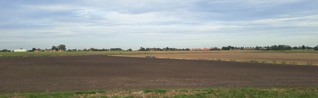
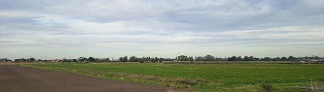
Covering an area of approximately 14 acres, Gildenburgh Water offers divers a unique underwater experience with its clear and calm waters. The lake has a maximum depth of 18 meters, making it suitable for divers of all levels, from beginners to advanced. Its controlled environment, absence of strong currents, and excellent visibility make it an ideal training ground for divers to gain confidence and refine their skills.

The lake's diverse underwater ecosystem is home to a variety of fish species, including pike, perch, and roach. Divers can explore submerged structures such as sunken boats, platforms, and a bus, which provide an intriguing and challenging environment for underwater navigation and exploration.

Gildenburgh Water also features several training platforms at different depths, allowing divers to practice various skills and techniques. Additionally, the site offers facilities such as changing rooms, equipment rental, and a dive shop, ensuring a convenient and enjoyable experience for visitors.

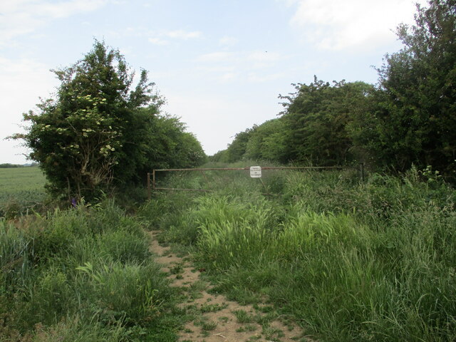
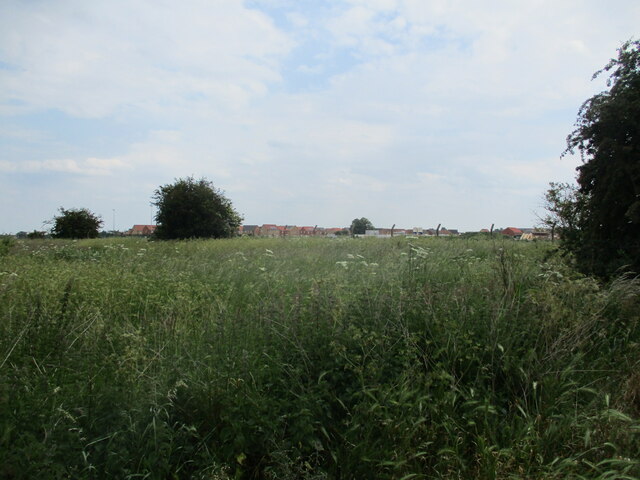
Beyond diving, Gildenburgh Water attracts nature enthusiasts who appreciate its surrounding wildlife. The lake is flanked by lush greenery and reed beds, providing a habitat for numerous bird species and creating a tranquil atmosphere for visitors to enjoy.

In summary, Gildenburgh Water offers a unique and accessible freshwater diving experience in Cambridgeshire. With its calm waters, diverse underwater structures, and convenient amenities, it attracts divers of all levels and provides a wonderful opportunity to explore the underwater world.

If you have any feedback on the listing, please let us know in the comments section below.

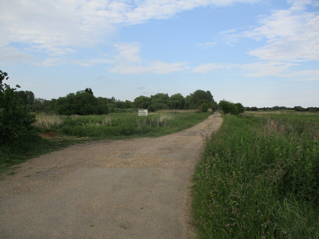
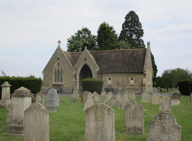
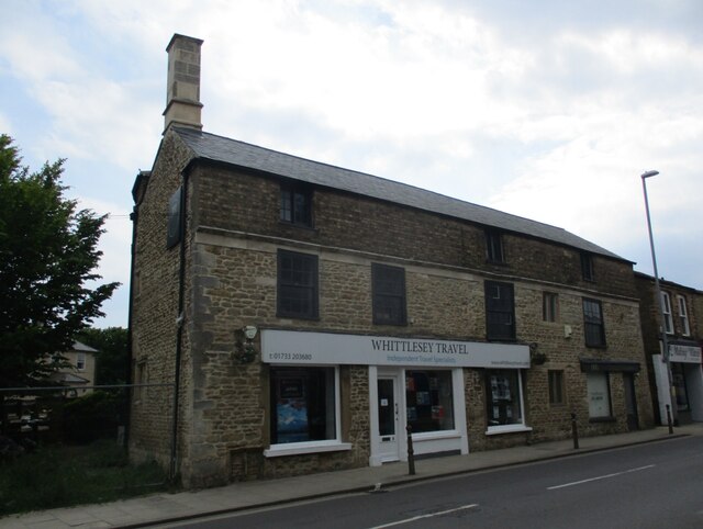
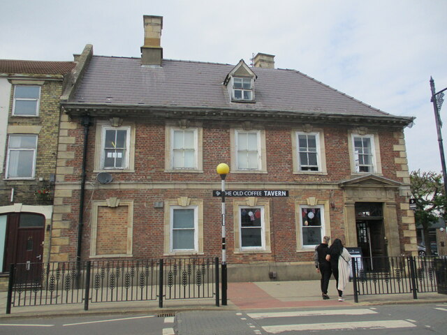
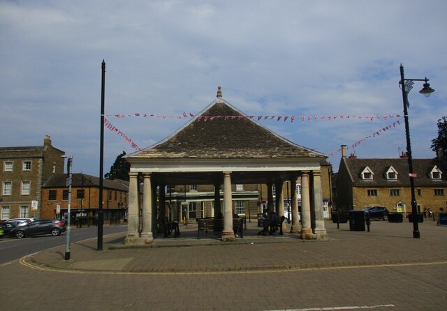
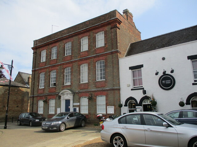
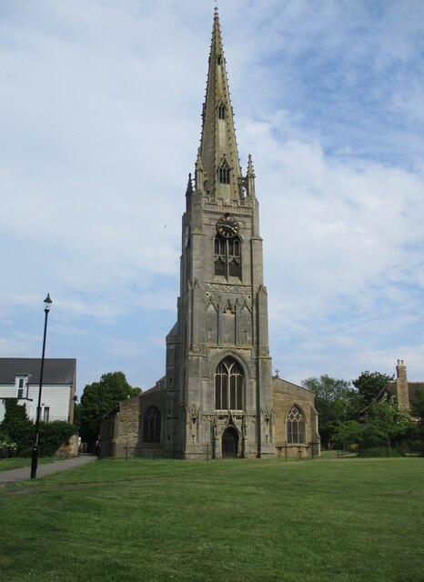
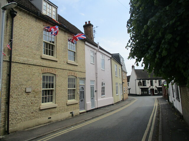
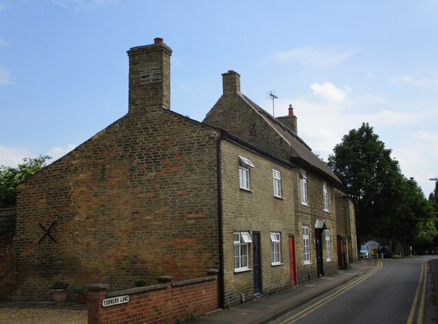
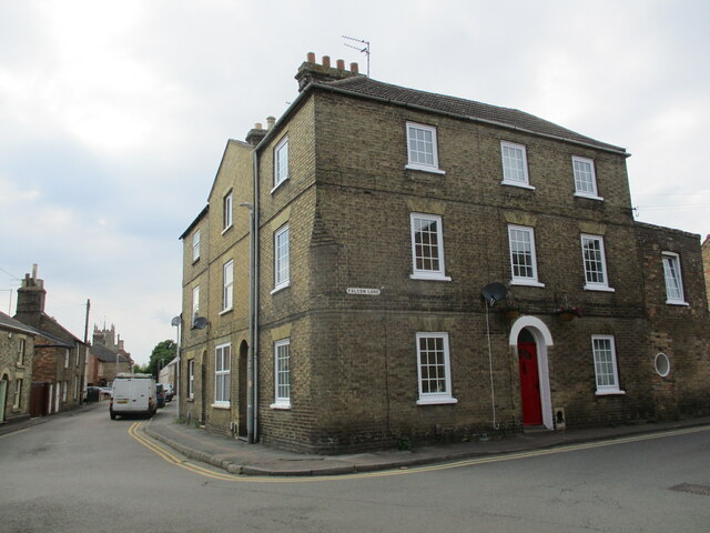
Gildenburgh Water Images

Images are sourced within 2km of 52.554091/-0.10577073 or Grid Reference TL2896. Thanks to Geograph Open Source API. All images are credited.

Farmland south of Eastrea, from the railway
Farmland south of Coates The track Cross Drove can just be seen in the bottom right of the picture.
Farmland south of Coates
The track Cross Drove can just be seen in the bottom right of the picture.
Track alongside Bassenhally Reserve Bassenhally Reserve is maintained by Wittlesey Wildfowlers and Conservationists. Access is restricted.
Track alongside Bassenhally Reserve
Bassenhally Reserve is maintained by Wittlesey Wildfowlers and Conservationists. Access is restricted.
Grass field off Drybread Road, Whittlesey
Cemetery Lodge, Whittlesey Built 1859 <span class="nowrap"><a title="https://historicengland.org.uk/listing/the-list/list-entry/1227875?section=official-list-entry" rel="nofollow ugc noopener" href="https://historicengland.org.uk/listing/the-list/list-entry/1227875?section=official-list-entry">Link</a><img style="margin-left:2px;" alt="External link" title="External link - shift click to open in new window" src="https://s1.geograph.org.uk/img/external.png" width="10" height="10"/></span> Designed by Robert Hutchinson.
Cemetery Lodge, Whittlesey
Built 1859 LinkExternal link Designed by Robert Hutchinson.
The Black Bull Inn. Whittlesey Seventeenth century inn <span class="nowrap"><a title="https://historicengland.org.uk/listing/the-list/list-entry/1228224?section=official-list-entry" rel="nofollow ugc noopener" href="https://historicengland.org.uk/listing/the-list/list-entry/1228224?section=official-list-entry">Link</a><img style="margin-left:2px;" alt="External link" title="External link - shift click to open in new window" src="https://s1.geograph.org.uk/img/external.png" width="10" height="10"/></span>
The Black Bull Inn. Whittlesey
Seventeenth century inn LinkExternal link
Path alongside St. Mary's church, Whittlesey
The Falcon Hotel, Whittlesey Eighteenth century hotel ://historicengland.org.uk/listing/the-list/list-entry/1228085?section=official-list-entry
The Falcon Hotel, Whittlesey
Eighteenth century hotel ://historicengland.org.uk/listing/the-list/list-entry/1228085?section=official-list-entry
Track to East Delph Lakes
Cemetery Chapel, Whittlesey Built 1859 <span class="nowrap"><a title="https://historicengland.org.uk/listing/the-list/list-entry/1227877?section=official-list-entry" rel="nofollow ugc noopener" href="https://historicengland.org.uk/listing/the-list/list-entry/1227877?section=official-list-entry">Link</a><img style="margin-left:2px;" alt="External link" title="External link - shift click to open in new window" src="https://s1.geograph.org.uk/img/external.png" width="10" height="10"/></span> Designed by Robert Hutchinson.
Cemetery Chapel, Whittlesey
Built 1859 LinkExternal link Designed by Robert Hutchinson.
9 Market Street, Whittlesey Seventeenth century house much altered and extended <span class="nowrap"><a title="https://historicengland.org.uk/listing/the-list/list-entry/1228220?section=official-list-entry" rel="nofollow ugc noopener" href="https://historicengland.org.uk/listing/the-list/list-entry/1228220?section=official-list-entry">Link</a><img style="margin-left:2px;" alt="External link" title="External link - shift click to open in new window" src="https://s1.geograph.org.uk/img/external.png" width="10" height="10"/></span>
9 Market Street, Whittlesey
Seventeenth century house much altered and extended LinkExternal link
The Old Coffee Tavern A seventeenth century house, later a bank and now a bar <span class="nowrap"><a title="https://historicengland.org.uk/listing/the-list/list-entry/1228222?section=official-list-entry" rel="nofollow ugc noopener" href="https://historicengland.org.uk/listing/the-list/list-entry/1228222?section=official-list-entry">Link</a><img style="margin-left:2px;" alt="External link" title="External link - shift click to open in new window" src="https://s1.geograph.org.uk/img/external.png" width="10" height="10"/></span>
The Old Coffee Tavern
A seventeenth century house, later a bank and now a bar LinkExternal link
The Buttercross (Market Cross), Whittlesey Dates from the seventeenth century <span class="nowrap"><a title="https://historicengland.org.uk/listing/the-list/list-entry/1287355?section=official-list-entry" rel="nofollow ugc noopener" href="https://historicengland.org.uk/listing/the-list/list-entry/1287355?section=official-list-entry">Link</a><img style="margin-left:2px;" alt="External link" title="External link - shift click to open in new window" src="https://s1.geograph.org.uk/img/external.png" width="10" height="10"/></span>
The Buttercross (Market Cross), Whittlesey
Dates from the seventeenth century LinkExternal link
10 Market Place, Whittlesey Eighteenth century house at one time the Post Office <span class="nowrap"><a title="https://historicengland.org.uk/listing/the-list/list-entry/1228131?section=official-list-entry" rel="nofollow ugc noopener" href="https://historicengland.org.uk/listing/the-list/list-entry/1228131?section=official-list-entry">Link</a><img style="margin-left:2px;" alt="External link" title="External link - shift click to open in new window" src="https://s1.geograph.org.uk/img/external.png" width="10" height="10"/></span>
10 Market Place, Whittlesey
Eighteenth century house at one time the Post Office LinkExternal link
St. Mary's church, Whittlesey The fifteenth century tower and spire rank among England's finest <span class="nowrap"><a title="https://historicengland.org.uk/listing/the-list/list-entry/1228792?section=official-list-entry" rel="nofollow ugc noopener" href="https://historicengland.org.uk/listing/the-list/list-entry/1228792?section=official-list-entry">Link</a><img style="margin-left:2px;" alt="External link" title="External link - shift click to open in new window" src="https://s1.geograph.org.uk/img/external.png" width="10" height="10"/></span>
St. Mary's church, Whittlesey
The fifteenth century tower and spire rank among England's finest LinkExternal link
St. Mary's Street, Whittlesey
Turners Lane, Whittlesey The thatched house is one of several scattered around Whittlesey.
Turners Lane, Whittlesey
The thatched house is one of several scattered around Whittlesey.
House on the corner of Falcon Lane, Whittlesey
Show me another place!

Gildenburgh Water is located at Grid Ref: TL2896 (Lat: 52.554091, Lng: -0.10577073)

Division: Isle of Ely

Administrative County: Cambridgeshire

District: Fenland

Police Authority: Cambridgeshire

What 3 Words

///lipstick.rapid.disco. Near Whittlesey, Cambridgeshire

Related Wikis

Lattersey Field

Lattersey Field is an 11.9 hectare Local Nature Reserve in Whittlesey in Cambridgeshire. It is owned by Fenland District Council and managed by the Wildlife...

Whittlesey Athletic F.C.

Whittlesey Athletic Football Club is a football club based in Whittlesey, Cambridgeshire, England. They are currently members of the Eastern Counties League...

Sir Harry Smith Community College

Sir Harry Smith Community College is a secondary school in Whittlesey, Cambridgeshire. Opened in 1953 on the former site of the Whittlesey Workhouse, the...

Whittlesea railway station

Whittlesea railway station is on the Ely–Peterborough line in the East of England and serves the market town of Whittlesey, Cambridgeshire. Whittlesea...

Eastrea

Eastrea is a village in Cambridgeshire, located on the A605 between Whittlesey and Coates. The site has been inhabited since Roman times. The population...

Eastrea railway station

Eastrea railway station was a station serving the village of Eastrea, Cambridgeshire on the Great Eastern Railway's line from Ely to Peterborough. The...

Whittlesey Museum

The Whittlesey Museum is a local history museum in Market Street, Whittlesey, Cambridgeshire, England. It is based on the ground floor of Whittlesey Town...

Bassenhally Pit

Bassenhally Pit is an 8.6-hectare (21-acre) biological Site of Special Scientific Interest north-east of Whittlesey in Cambridgeshire.This former gravel...

Nearby Amenities

Located within 500m of 52.554091,-0.10577073
Bus Stop
Eastrea Road
Bus: yes
Naptan AtcoCode: 0500FWHIY033
Naptan Bearing: W
Naptan CommonName: Eastrea Road
Naptan Indicator: opp
Naptan Landmark: Eastrea Road
Naptan NaptanCode: cmbdmdwg
Naptan ShortCommonName: Eastrea Road
Naptan Street: Eastrea Road
Naptan Verified: no
Public Transport: platform
Source: naptan_import
Lat/Long: 52.5572719/-0.103502
Power: pole
Lat/Long: 52.5539321/-0.1020093
Power: pole
Lat/Long: 52.5547345/-0.0991133
Power: pole
Lat/Long: 52.553088/-0.105121
Power: pole
Lat/Long: 52.5533384/-0.1040589
Power: pole
Lat/Long: 52.554317/-0.1006472
Barrier: height_restrictor
Lat/Long: 52.5521175/-0.1119129
Building: yes
Lat/Long: 52.5505853/-0.1035218
Access: customers
Entrance: parking
Lat/Long: 52.552541/-0.1060892
Addr City: Whittlesey
Addr Housename: Gildenburgh Water
Addr Postcode: PE7 2AR
Addr Street: Eastrea Road
Entrance: main
Lat/Long: 52.5532424/-0.1063316
Generator Method: photovoltaic
Generator Output Electricity: yes
Generator Source: solar
Generator Type: solar_photovoltaic_panel
Location: roof
Power: generator
Lat/Long: 52.5585852/-0.1061296
Generator Method: photovoltaic
Generator Output Electricity: yes
Generator Source: solar
Generator Type: solar_photovoltaic_panel
Location: roof
Power: generator
Lat/Long: 52.558546/-0.1061806
Generator Method: photovoltaic
Generator Output Electricity: yes
Generator Source: solar
Generator Type: solar_photovoltaic_panel
Location: roof
Power: generator
Lat/Long: 52.5584449/-0.1062222
Generator Method: photovoltaic
Generator Output Electricity: yes
Generator Source: solar
Generator Type: solar_photovoltaic_panel
Location: roof
Power: generator
Lat/Long: 52.5584042/-0.106241
Generator Method: photovoltaic
Generator Output Electricity: yes
Generator Source: solar
Generator Type: solar_photovoltaic_panel
Location: roof
Power: generator
Lat/Long: 52.5582484/-0.1064703
Generator Method: photovoltaic
Generator Output Electricity: yes
Generator Source: solar
Generator Type: solar_photovoltaic_panel
Location: roof
Power: generator
Lat/Long: 52.5584311/-0.1066647
Generator Method: photovoltaic
Generator Output Electricity: yes
Generator Source: solar
Generator Type: solar_photovoltaic_panel
Location: roof
Power: generator
Lat/Long: 52.5583895/-0.1066943
Generator Method: photovoltaic
Generator Output Electricity: yes
Generator Source: solar
Generator Type: solar_photovoltaic_panel
Location: roof
Power: generator
Lat/Long: 52.5583006/-0.1067586
Generator Method: photovoltaic
Generator Output Electricity: yes
Generator Source: solar
Generator Type: solar_photovoltaic_panel
Location: roof
Power: generator
Lat/Long: 52.5584368/-0.1069866
Generator Method: photovoltaic
Generator Output Electricity: yes
Generator Source: solar
Generator Type: solar_photovoltaic_panel
Location: roof
Power: generator
Lat/Long: 52.5584213/-0.1071019
Generator Method: photovoltaic
Generator Output Electricity: yes
Generator Source: solar
Generator Type: solar_photovoltaic_panel
Location: roof
Power: generator
Lat/Long: 52.5584621/-0.1072401
Generator Method: photovoltaic
Generator Output Electricity: yes
Generator Source: solar
Generator Type: solar_photovoltaic_panel
Location: roof
Power: generator
Lat/Long: 52.5584775/-0.1073487
Generator Method: photovoltaic
Generator Output Electricity: yes
Generator Source: solar
Generator Type: solar_photovoltaic_panel
Location: roof
Power: generator
Lat/Long: 52.5584515/-0.1073326
Generator Method: photovoltaic
Generator Output Electricity: yes
Generator Source: solar
Generator Type: solar_photovoltaic_panel
Location: roof
Power: generator
Lat/Long: 52.5584474/-0.1072803
Generator Method: photovoltaic
Generator Output Electricity: yes
Generator Source: solar
Generator Type: solar_photovoltaic_panel
Location: roof
Power: generator
Lat/Long: 52.5582884/-0.1073755
Generator Method: photovoltaic
Generator Output Electricity: yes
Generator Source: solar
Generator Type: solar_photovoltaic_panel
Location: roof
Power: generator
Lat/Long: 52.5582264/-0.1071341
Generator Method: photovoltaic
Generator Output Electricity: yes
Generator Source: solar
Generator Type: solar_photovoltaic_panel
Location: roof
Power: generator
Lat/Long: 52.5575611/-0.1082727
Generator Method: photovoltaic
Generator Output Electricity: yes
Generator Source: solar
Generator Type: solar_photovoltaic_panel
Location: roof
Power: generator
Lat/Long: 52.5575456/-0.1081507
Generator Method: photovoltaic
Generator Output Electricity: yes
Generator Source: solar
Generator Type: solar_photovoltaic_panel
Location: roof
Power: generator
Lat/Long: 52.5575358/-0.1079643
Generator Method: photovoltaic
Generator Output Electricity: yes
Generator Source: solar
Generator Type: solar_photovoltaic_panel
Location: roof
Power: generator
Lat/Long: 52.5573972/-0.1081091
Generator Method: photovoltaic
Generator Output Electricity: yes
Generator Source: solar
Generator Type: solar_photovoltaic_panel
Location: roof
Power: generator
Lat/Long: 52.5573491/-0.1081266
Generator Method: photovoltaic
Generator Output Electricity: yes
Generator Source: solar
Generator Type: solar_photovoltaic_panel
Location: roof
Power: generator
Lat/Long: 52.5573051/-0.1081333
Generator Method: photovoltaic
Generator Output Electricity: yes
Generator Source: solar
Generator Type: solar_photovoltaic_panel
Location: roof
Power: generator
Lat/Long: 52.5574877/-0.1075968
Generator Method: photovoltaic
Generator Output Electricity: yes
Generator Source: solar
Generator Type: solar_photovoltaic_panel
Location: roof
Power: generator
Lat/Long: 52.5573018/-0.1076344
Generator Method: photovoltaic
Generator Output Electricity: yes
Generator Source: solar
Generator Type: solar_photovoltaic_panel
Location: roof
Power: generator
Lat/Long: 52.5571632/-0.1077738
Generator Method: photovoltaic
Generator Output Electricity: yes
Generator Source: solar
Generator Type: solar_photovoltaic_panel
Location: roof
Power: generator
Lat/Long: 52.5571167/-0.1083975
Generator Method: photovoltaic
Generator Output Electricity: yes
Generator Source: solar
Generator Type: solar_photovoltaic_panel
Location: roof
Power: generator
Lat/Long: 52.5571094/-0.1083277
Generator Method: photovoltaic
Generator Output Electricity: yes
Generator Source: solar
Generator Type: solar_photovoltaic_panel
Location: roof
Power: generator
Lat/Long: 52.5570825/-0.1081105
Generator Method: photovoltaic
Generator Output Electricity: yes
Generator Source: solar
Generator Type: solar_photovoltaic_panel
Location: roof
Power: generator
Lat/Long: 52.5570817/-0.1080273
Generator Method: photovoltaic
Generator Output Electricity: yes
Generator Source: solar
Generator Type: solar_photovoltaic_panel
Location: roof
Power: generator
Lat/Long: 52.5579492/-0.1068937
Generator Method: photovoltaic
Generator Output Electricity: yes
Generator Source: solar
Generator Type: solar_photovoltaic_panel
Location: roof
Power: generator
Lat/Long: 52.5579708/-0.1068689
Generator Method: photovoltaic
Generator Output Electricity: yes
Generator Source: solar
Generator Type: solar_photovoltaic_panel
Location: roof
Power: generator
Lat/Long: 52.5577356/-0.1069343
Generator Method: photovoltaic
Generator Output Electricity: yes
Generator Source: solar
Generator Type: solar_photovoltaic_panel
Location: roof
Power: generator
Lat/Long: 52.5578171/-0.1069142
Generator Method: photovoltaic
Generator Output Electricity: yes
Generator Source: solar
Generator Type: solar_photovoltaic_panel
Location: roof
Power: generator
Lat/Long: 52.5578872/-0.1068874
Generator Method: photovoltaic
Generator Output Electricity: yes
Generator Source: solar
Generator Type: solar_photovoltaic_panel
Location: roof
Power: generator
Lat/Long: 52.5577919/-0.106414
Generator Method: photovoltaic
Generator Output Electricity: yes
Generator Source: solar
Generator Type: solar_photovoltaic_panel
Location: roof
Power: generator
Lat/Long: 52.5578318/-0.1064354
Generator Method: photovoltaic
Generator Output Electricity: yes
Generator Source: solar
Generator Type: solar_photovoltaic_panel
Location: roof
Power: generator
Lat/Long: 52.5579647/-0.1065856
Generator Method: photovoltaic
Generator Output Electricity: yes
Generator Source: solar
Generator Type: solar_photovoltaic_panel
Location: roof
Power: generator
Lat/Long: 52.5579802/-0.1064448
Generator Method: photovoltaic
Generator Output Electricity: yes
Generator Source: solar
Generator Type: solar_photovoltaic_panel
Location: roof
Power: generator
Lat/Long: 52.5580063/-0.1062396
Generator Method: photovoltaic
Generator Output Electricity: yes
Generator Source: solar
Generator Type: solar_photovoltaic_panel
Location: roof
Power: generator
Lat/Long: 52.5578726/-0.1061712
Generator Method: photovoltaic
Generator Output Electricity: yes
Generator Source: solar
Generator Type: solar_photovoltaic_panel
Location: roof
Power: generator
Lat/Long: 52.5578351/-0.1061578
Generator Method: photovoltaic
Generator Output Electricity: yes
Generator Source: solar
Generator Type: solar_photovoltaic_panel
Location: roof
Power: generator
Lat/Long: 52.5577959/-0.1061337
Generator Method: photovoltaic
Generator Output Electricity: yes
Generator Source: solar
Generator Type: solar_photovoltaic_panel
Location: roof
Power: generator
Lat/Long: 52.5575473/-0.1066446
Generator Method: photovoltaic
Generator Output Electricity: yes
Generator Source: solar
Generator Type: solar_photovoltaic_panel
Location: roof
Power: generator
Lat/Long: 52.5576304/-0.1064636
Generator Method: photovoltaic
Generator Output Electricity: yes
Generator Source: solar
Generator Type: solar_photovoltaic_panel
Location: roof
Power: generator
Lat/Long: 52.5576418/-0.106127
Generator Method: photovoltaic
Generator Output Electricity: yes
Generator Source: solar
Generator Type: solar_photovoltaic_panel
Location: roof
Power: generator
Lat/Long: 52.5576027/-0.1061444
Generator Method: photovoltaic
Generator Output Electricity: yes
Generator Source: solar
Generator Type: solar_photovoltaic_panel
Location: roof
Power: generator
Lat/Long: 52.5574991/-0.1061927
Generator Method: photovoltaic
Generator Output Electricity: yes
Generator Source: solar
Generator Type: solar_photovoltaic_panel
Location: roof
Power: generator
Lat/Long: 52.5574429/-0.1062691
Generator Method: photovoltaic
Generator Output Electricity: yes
Generator Source: solar
Generator Type: solar_photovoltaic_panel
Location: roof
Power: generator
Lat/Long: 52.5573785/-0.1065306
Generator Method: photovoltaic
Generator Output Electricity: yes
Generator Source: solar
Generator Type: solar_photovoltaic_panel
Location: roof
Power: generator
Lat/Long: 52.5573141/-0.1064073
Generator Method: photovoltaic
Generator Output Electricity: yes
Generator Source: solar
Generator Type: solar_photovoltaic_panel
Location: roof
Power: generator
Lat/Long: 52.5572937/-0.1062906
Generator Method: photovoltaic
Generator Output Electricity: yes
Generator Source: solar
Generator Type: solar_photovoltaic_panel
Location: roof
Power: generator
Lat/Long: 52.5570744/-0.1062731
Generator Method: photovoltaic
Generator Output Electricity: yes
Generator Source: solar
Generator Type: solar_photovoltaic_panel
Location: roof
Power: generator
Lat/Long: 52.5570752/-0.106371
Generator Method: photovoltaic
Generator Output Electricity: yes
Generator Source: solar
Generator Type: solar_photovoltaic_panel
Location: roof
Power: generator
Lat/Long: 52.5570711/-0.1065373
Generator Method: photovoltaic
Generator Output Electricity: yes
Generator Source: solar
Generator Type: solar_photovoltaic_panel
Location: roof
Power: generator
Lat/Long: 52.5570744/-0.1066124
Generator Method: photovoltaic
Generator Output Electricity: yes
Generator Source: solar
Generator Type: solar_photovoltaic_panel
Location: roof
Power: generator
Lat/Long: 52.5571233/-0.1068686
Generator Method: photovoltaic
Generator Output Electricity: yes
Generator Source: solar
Generator Type: solar_photovoltaic_panel
Location: roof
Power: generator
Lat/Long: 52.5572586/-0.1071891
Generator Method: photovoltaic
Generator Output Electricity: yes
Generator Source: solar
Generator Type: solar_photovoltaic_panel
Location: roof
Power: generator
Lat/Long: 52.5571453/-0.1070108
Generator Method: photovoltaic
Generator Output Electricity: yes
Generator Source: solar
Generator Type: solar_photovoltaic_panel
Location: roof
Power: generator
Lat/Long: 52.5574796/-0.1077135
Generator Method: photovoltaic
Generator Output Electricity: yes
Generator Source: solar
Generator Type: solar_photovoltaic_panel
Location: roof
Power: generator
Lat/Long: 52.5576663/-0.1069544
Generator Method: photovoltaic
Generator Output Electricity: yes
Generator Source: solar
Generator Type: solar_photovoltaic_panel
Location: roof
Power: generator
Lat/Long: 52.5575823/-0.1070268
Generator Method: photovoltaic
Generator Output Electricity: yes
Generator Source: solar
Generator Type: solar_photovoltaic_panel
Location: roof
Power: generator
Lat/Long: 52.5574111/-0.1068766
Generator Method: photovoltaic
Generator Output Electricity: yes
Generator Source: solar
Generator Type: solar_photovoltaic_panel
Location: roof
Power: generator
Lat/Long: 52.5574356/-0.1070791
Barrier: kissing_gate
Lat/Long: 52.5519366/-0.111859
Barrier: kissing_gate
Lat/Long: 52.5521731/-0.1116389
Fenland Aqua Park
Leisure: water_park
Website: https://fenlandaquapark.com
Lat/Long: 52.5536905/-0.1051494
Speed Camera
Maxspeed: 30 mph
Lat/Long: 52.5572502/-0.1105657
Power: pole
Lat/Long: 52.5503202/-0.1084483
Power: pole
Lat/Long: 52.5498878/-0.1079311
Power: pole
Lat/Long: 52.5522163/-0.1119418
Power: pole
Lat/Long: 52.5519943/-0.1110469
Power: pole
Lat/Long: 52.5515901/-0.109446
Power: pole
Lat/Long: 52.5517355/-0.1095129
Power: pole
Lat/Long: 52.5510514/-0.1090332
The data included in this document is from www.openstreetmap.org. The data is made available under ODbL.

Have you been to Gildenburgh Water?

Leave your review of Gildenburgh Water below (or comments, questions and feedback).