Lattersey Field

Downs, Moorland in Cambridgeshire Fenland

England

Lattersey Field

Farmland south of Eastrea, from the railway
Farmland south of Eastrea, from the railway Credit: Christopher Hilton

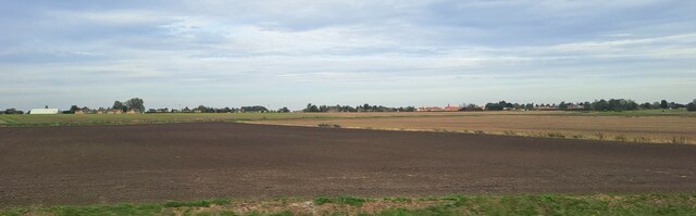
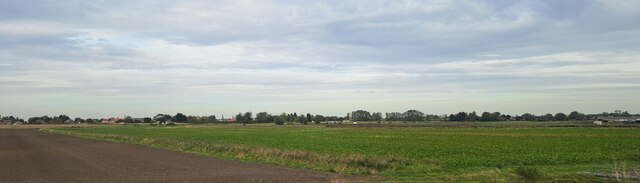
Lattersey Field is a picturesque area located in Cambridgeshire, England. Spread across vast expanses of land, it is predominantly characterized by its unique combination of downs and moorland. This diverse landscape offers visitors a stunning array of natural beauty and outdoor recreational opportunities.

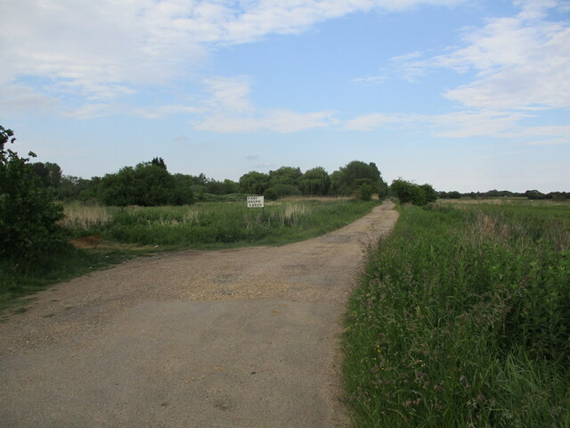
The downs of Lattersey Field are characterized by rolling hills, which provide breathtaking panoramic views of the surrounding countryside. These hills are covered in lush green grass and dotted with vibrant wildflowers during the warmer months. The downs are a popular spot for walking, picnicking, and birdwatching, as they are home to a variety of avian species including skylarks and meadow pipits.

The moorland section of Lattersey Field features a more rugged terrain, with areas of heather, bracken, and gorse. This creates a contrasting landscape to the downs, with its open vistas and wild beauty. The moorland is a haven for wildlife, with rabbits, squirrels, and deer often spotted roaming freely. It is also home to several species of birds, including the elusive Dartford warbler.

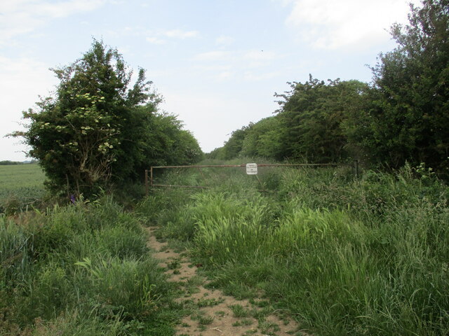
Both the downs and moorland of Lattersey Field offer visitors the opportunity to immerse themselves in nature and enjoy outdoor activities such as hiking, cycling, and nature photography. The area is well-maintained, with designated paths and trails that allow visitors to explore the diverse landscape while respecting the delicate ecosystem.

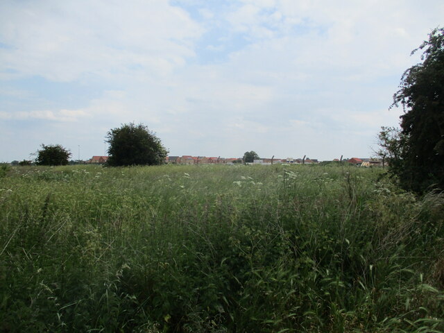
Overall, Lattersey Field in Cambridgeshire is a hidden gem, offering a unique blend of downs and moorland landscapes. With its natural beauty and outdoor recreational opportunities, it is a must-visit destination for nature enthusiasts and those looking to escape the hustle and bustle of everyday life.

If you have any feedback on the listing, please let us know in the comments section below.

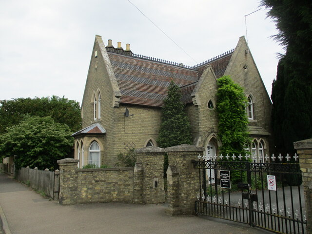
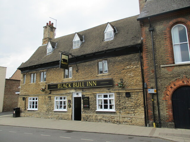
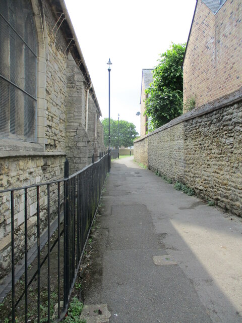
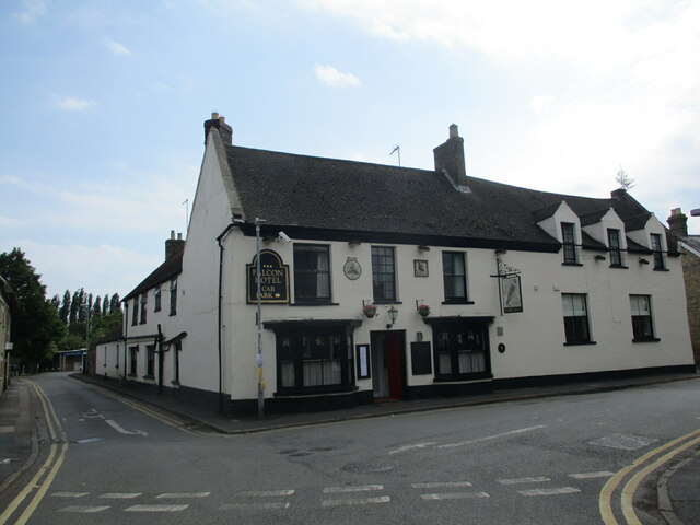
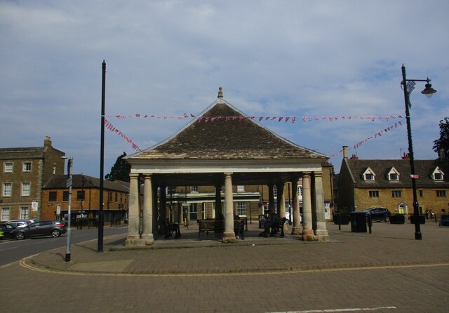
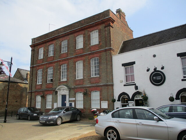
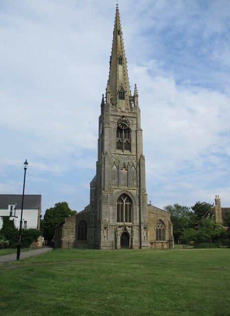
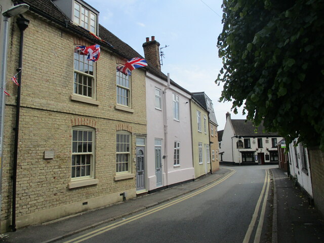
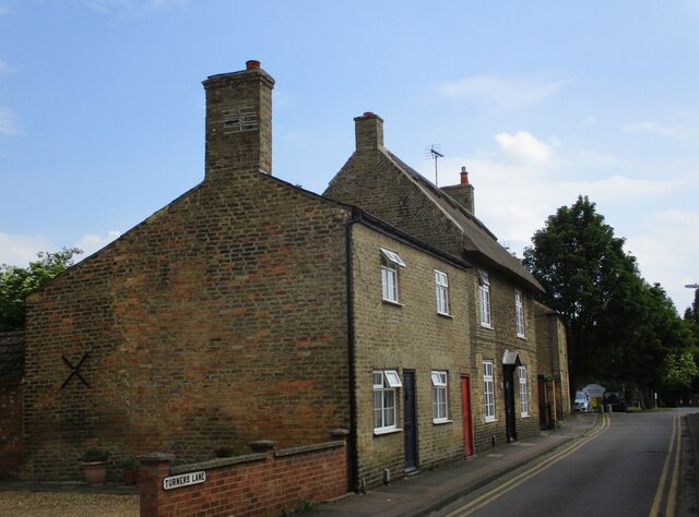
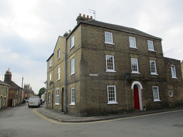
Lattersey Field Images

Images are sourced within 2km of 52.553388/-0.10512246 or Grid Reference TL2896. Thanks to Geograph Open Source API. All images are credited.

Farmland south of Eastrea, from the railway
Farmland south of Coates The track Cross Drove can just be seen in the bottom right of the picture.
Farmland south of Coates
The track Cross Drove can just be seen in the bottom right of the picture.
Track alongside Bassenhally Reserve Bassenhally Reserve is maintained by Wittlesey Wildfowlers and Conservationists. Access is restricted.
Track alongside Bassenhally Reserve
Bassenhally Reserve is maintained by Wittlesey Wildfowlers and Conservationists. Access is restricted.
Grass field off Drybread Road, Whittlesey
Cemetery Lodge, Whittlesey Built 1859 <span class="nowrap"><a title="https://historicengland.org.uk/listing/the-list/list-entry/1227875?section=official-list-entry" rel="nofollow ugc noopener" href="https://historicengland.org.uk/listing/the-list/list-entry/1227875?section=official-list-entry">Link</a><img style="margin-left:2px;" alt="External link" title="External link - shift click to open in new window" src="https://s1.geograph.org.uk/img/external.png" width="10" height="10"/></span> Designed by Robert Hutchinson.
Cemetery Lodge, Whittlesey
Built 1859 LinkExternal link Designed by Robert Hutchinson.
The Black Bull Inn. Whittlesey Seventeenth century inn <span class="nowrap"><a title="https://historicengland.org.uk/listing/the-list/list-entry/1228224?section=official-list-entry" rel="nofollow ugc noopener" href="https://historicengland.org.uk/listing/the-list/list-entry/1228224?section=official-list-entry">Link</a><img style="margin-left:2px;" alt="External link" title="External link - shift click to open in new window" src="https://s1.geograph.org.uk/img/external.png" width="10" height="10"/></span>
The Black Bull Inn. Whittlesey
Seventeenth century inn LinkExternal link
Path alongside St. Mary's church, Whittlesey
The Falcon Hotel, Whittlesey Eighteenth century hotel ://historicengland.org.uk/listing/the-list/list-entry/1228085?section=official-list-entry
The Falcon Hotel, Whittlesey
Eighteenth century hotel ://historicengland.org.uk/listing/the-list/list-entry/1228085?section=official-list-entry
Track to East Delph Lakes
Cemetery Chapel, Whittlesey Built 1859 <span class="nowrap"><a title="https://historicengland.org.uk/listing/the-list/list-entry/1227877?section=official-list-entry" rel="nofollow ugc noopener" href="https://historicengland.org.uk/listing/the-list/list-entry/1227877?section=official-list-entry">Link</a><img style="margin-left:2px;" alt="External link" title="External link - shift click to open in new window" src="https://s1.geograph.org.uk/img/external.png" width="10" height="10"/></span> Designed by Robert Hutchinson.
Cemetery Chapel, Whittlesey
Built 1859 LinkExternal link Designed by Robert Hutchinson.
9 Market Street, Whittlesey Seventeenth century house much altered and extended <span class="nowrap"><a title="https://historicengland.org.uk/listing/the-list/list-entry/1228220?section=official-list-entry" rel="nofollow ugc noopener" href="https://historicengland.org.uk/listing/the-list/list-entry/1228220?section=official-list-entry">Link</a><img style="margin-left:2px;" alt="External link" title="External link - shift click to open in new window" src="https://s1.geograph.org.uk/img/external.png" width="10" height="10"/></span>
9 Market Street, Whittlesey
Seventeenth century house much altered and extended LinkExternal link
The Old Coffee Tavern A seventeenth century house, later a bank and now a bar <span class="nowrap"><a title="https://historicengland.org.uk/listing/the-list/list-entry/1228222?section=official-list-entry" rel="nofollow ugc noopener" href="https://historicengland.org.uk/listing/the-list/list-entry/1228222?section=official-list-entry">Link</a><img style="margin-left:2px;" alt="External link" title="External link - shift click to open in new window" src="https://s1.geograph.org.uk/img/external.png" width="10" height="10"/></span>
The Old Coffee Tavern
A seventeenth century house, later a bank and now a bar LinkExternal link
The Buttercross (Market Cross), Whittlesey Dates from the seventeenth century <span class="nowrap"><a title="https://historicengland.org.uk/listing/the-list/list-entry/1287355?section=official-list-entry" rel="nofollow ugc noopener" href="https://historicengland.org.uk/listing/the-list/list-entry/1287355?section=official-list-entry">Link</a><img style="margin-left:2px;" alt="External link" title="External link - shift click to open in new window" src="https://s1.geograph.org.uk/img/external.png" width="10" height="10"/></span>
The Buttercross (Market Cross), Whittlesey
Dates from the seventeenth century LinkExternal link
10 Market Place, Whittlesey Eighteenth century house at one time the Post Office <span class="nowrap"><a title="https://historicengland.org.uk/listing/the-list/list-entry/1228131?section=official-list-entry" rel="nofollow ugc noopener" href="https://historicengland.org.uk/listing/the-list/list-entry/1228131?section=official-list-entry">Link</a><img style="margin-left:2px;" alt="External link" title="External link - shift click to open in new window" src="https://s1.geograph.org.uk/img/external.png" width="10" height="10"/></span>
10 Market Place, Whittlesey
Eighteenth century house at one time the Post Office LinkExternal link
St. Mary's church, Whittlesey The fifteenth century tower and spire rank among England's finest <span class="nowrap"><a title="https://historicengland.org.uk/listing/the-list/list-entry/1228792?section=official-list-entry" rel="nofollow ugc noopener" href="https://historicengland.org.uk/listing/the-list/list-entry/1228792?section=official-list-entry">Link</a><img style="margin-left:2px;" alt="External link" title="External link - shift click to open in new window" src="https://s1.geograph.org.uk/img/external.png" width="10" height="10"/></span>
St. Mary's church, Whittlesey
The fifteenth century tower and spire rank among England's finest LinkExternal link
St. Mary's Street, Whittlesey
Turners Lane, Whittlesey The thatched house is one of several scattered around Whittlesey.
Turners Lane, Whittlesey
The thatched house is one of several scattered around Whittlesey.
House on the corner of Falcon Lane, Whittlesey
Show me another place!

Lattersey Field is located at Grid Ref: TL2896 (Lat: 52.553388, Lng: -0.10512246)

Division: Isle of Ely

Administrative County: Cambridgeshire

District: Fenland

Police Authority: Cambridgeshire

What 3 Words

///passenger.polices.degrading. Near Whittlesey, Cambridgeshire

Related Wikis

Lattersey Field

Lattersey Field is an 11.9 hectare Local Nature Reserve in Whittlesey in Cambridgeshire. It is owned by Fenland District Council and managed by the Wildlife...

Whittlesey Athletic F.C.

Whittlesey Athletic Football Club is a football club based in Whittlesey, Cambridgeshire, England. They are currently members of the Eastern Counties League...

Whittlesea railway station

Whittlesea railway station is on the Ely–Peterborough line in the East of England and serves the market town of Whittlesey, Cambridgeshire. Whittlesea...

Sir Harry Smith Community College

Sir Harry Smith Community College is a secondary school in Whittlesey, Cambridgeshire. Opened in 1953 on the former site of the Whittlesey Workhouse, the...

Nearby Amenities

Located within 500m of 52.553388,-0.10512246
Bus Stop
Eastrea Road
Bus: yes
Naptan AtcoCode: 0500FWHIY033
Naptan Bearing: W
Naptan CommonName: Eastrea Road
Naptan Indicator: opp
Naptan Landmark: Eastrea Road
Naptan NaptanCode: cmbdmdwg
Naptan ShortCommonName: Eastrea Road
Naptan Street: Eastrea Road
Naptan Verified: no
Public Transport: platform
Source: naptan_import
Lat/Long: 52.5572719/-0.103502
Power: pole
Lat/Long: 52.5539321/-0.1020093
Power: pole
Lat/Long: 52.5547345/-0.0991133
Power: pole
Lat/Long: 52.553088/-0.105121
Power: pole
Lat/Long: 52.5533384/-0.1040589
Power: pole
Lat/Long: 52.554317/-0.1006472
Barrier: height_restrictor
Lat/Long: 52.5521175/-0.1119129
Building: yes
Lat/Long: 52.5505853/-0.1035218
Access: customers
Entrance: parking
Lat/Long: 52.552541/-0.1060892
Addr City: Whittlesey
Addr Housename: Gildenburgh Water
Addr Postcode: PE7 2AR
Addr Street: Eastrea Road
Entrance: main
Lat/Long: 52.5532424/-0.1063316
Generator Method: photovoltaic
Generator Output Electricity: yes
Generator Source: solar
Generator Type: solar_photovoltaic_panel
Location: roof
Power: generator
Lat/Long: 52.5575358/-0.1079643
Generator Method: photovoltaic
Generator Output Electricity: yes
Generator Source: solar
Generator Type: solar_photovoltaic_panel
Location: roof
Power: generator
Lat/Long: 52.5573972/-0.1081091
Generator Method: photovoltaic
Generator Output Electricity: yes
Generator Source: solar
Generator Type: solar_photovoltaic_panel
Location: roof
Power: generator
Lat/Long: 52.5573491/-0.1081266
Generator Method: photovoltaic
Generator Output Electricity: yes
Generator Source: solar
Generator Type: solar_photovoltaic_panel
Location: roof
Power: generator
Lat/Long: 52.5573051/-0.1081333
Generator Method: photovoltaic
Generator Output Electricity: yes
Generator Source: solar
Generator Type: solar_photovoltaic_panel
Location: roof
Power: generator
Lat/Long: 52.5574877/-0.1075968
Generator Method: photovoltaic
Generator Output Electricity: yes
Generator Source: solar
Generator Type: solar_photovoltaic_panel
Location: roof
Power: generator
Lat/Long: 52.5573018/-0.1076344
Generator Method: photovoltaic
Generator Output Electricity: yes
Generator Source: solar
Generator Type: solar_photovoltaic_panel
Location: roof
Power: generator
Lat/Long: 52.5571632/-0.1077738
Generator Method: photovoltaic
Generator Output Electricity: yes
Generator Source: solar
Generator Type: solar_photovoltaic_panel
Location: roof
Power: generator
Lat/Long: 52.5571167/-0.1083975
Generator Method: photovoltaic
Generator Output Electricity: yes
Generator Source: solar
Generator Type: solar_photovoltaic_panel
Location: roof
Power: generator
Lat/Long: 52.5571094/-0.1083277
Generator Method: photovoltaic
Generator Output Electricity: yes
Generator Source: solar
Generator Type: solar_photovoltaic_panel
Location: roof
Power: generator
Lat/Long: 52.5570825/-0.1081105
Generator Method: photovoltaic
Generator Output Electricity: yes
Generator Source: solar
Generator Type: solar_photovoltaic_panel
Location: roof
Power: generator
Lat/Long: 52.5570817/-0.1080273
Generator Method: photovoltaic
Generator Output Electricity: yes
Generator Source: solar
Generator Type: solar_photovoltaic_panel
Location: roof
Power: generator
Lat/Long: 52.5577356/-0.1069343
Generator Method: photovoltaic
Generator Output Electricity: yes
Generator Source: solar
Generator Type: solar_photovoltaic_panel
Location: roof
Power: generator
Lat/Long: 52.5577919/-0.106414
Generator Method: photovoltaic
Generator Output Electricity: yes
Generator Source: solar
Generator Type: solar_photovoltaic_panel
Location: roof
Power: generator
Lat/Long: 52.5578351/-0.1061578
Generator Method: photovoltaic
Generator Output Electricity: yes
Generator Source: solar
Generator Type: solar_photovoltaic_panel
Location: roof
Power: generator
Lat/Long: 52.5577959/-0.1061337
Generator Method: photovoltaic
Generator Output Electricity: yes
Generator Source: solar
Generator Type: solar_photovoltaic_panel
Location: roof
Power: generator
Lat/Long: 52.5575473/-0.1066446
Generator Method: photovoltaic
Generator Output Electricity: yes
Generator Source: solar
Generator Type: solar_photovoltaic_panel
Location: roof
Power: generator
Lat/Long: 52.5576304/-0.1064636
Generator Method: photovoltaic
Generator Output Electricity: yes
Generator Source: solar
Generator Type: solar_photovoltaic_panel
Location: roof
Power: generator
Lat/Long: 52.5576418/-0.106127
Generator Method: photovoltaic
Generator Output Electricity: yes
Generator Source: solar
Generator Type: solar_photovoltaic_panel
Location: roof
Power: generator
Lat/Long: 52.5576027/-0.1061444
Generator Method: photovoltaic
Generator Output Electricity: yes
Generator Source: solar
Generator Type: solar_photovoltaic_panel
Location: roof
Power: generator
Lat/Long: 52.5574991/-0.1061927
Generator Method: photovoltaic
Generator Output Electricity: yes
Generator Source: solar
Generator Type: solar_photovoltaic_panel
Location: roof
Power: generator
Lat/Long: 52.5574429/-0.1062691
Generator Method: photovoltaic
Generator Output Electricity: yes
Generator Source: solar
Generator Type: solar_photovoltaic_panel
Location: roof
Power: generator
Lat/Long: 52.5573785/-0.1065306
Generator Method: photovoltaic
Generator Output Electricity: yes
Generator Source: solar
Generator Type: solar_photovoltaic_panel
Location: roof
Power: generator
Lat/Long: 52.5573141/-0.1064073
Generator Method: photovoltaic
Generator Output Electricity: yes
Generator Source: solar
Generator Type: solar_photovoltaic_panel
Location: roof
Power: generator
Lat/Long: 52.5572937/-0.1062906
Generator Method: photovoltaic
Generator Output Electricity: yes
Generator Source: solar
Generator Type: solar_photovoltaic_panel
Location: roof
Power: generator
Lat/Long: 52.5570744/-0.1062731
Generator Method: photovoltaic
Generator Output Electricity: yes
Generator Source: solar
Generator Type: solar_photovoltaic_panel
Location: roof
Power: generator
Lat/Long: 52.5570752/-0.106371
Generator Method: photovoltaic
Generator Output Electricity: yes
Generator Source: solar
Generator Type: solar_photovoltaic_panel
Location: roof
Power: generator
Lat/Long: 52.5570711/-0.1065373
Generator Method: photovoltaic
Generator Output Electricity: yes
Generator Source: solar
Generator Type: solar_photovoltaic_panel
Location: roof
Power: generator
Lat/Long: 52.5570744/-0.1066124
Generator Method: photovoltaic
Generator Output Electricity: yes
Generator Source: solar
Generator Type: solar_photovoltaic_panel
Location: roof
Power: generator
Lat/Long: 52.5571233/-0.1068686
Generator Method: photovoltaic
Generator Output Electricity: yes
Generator Source: solar
Generator Type: solar_photovoltaic_panel
Location: roof
Power: generator
Lat/Long: 52.5572586/-0.1071891
Generator Method: photovoltaic
Generator Output Electricity: yes
Generator Source: solar
Generator Type: solar_photovoltaic_panel
Location: roof
Power: generator
Lat/Long: 52.5571453/-0.1070108
Generator Method: photovoltaic
Generator Output Electricity: yes
Generator Source: solar
Generator Type: solar_photovoltaic_panel
Location: roof
Power: generator
Lat/Long: 52.5574796/-0.1077135
Generator Method: photovoltaic
Generator Output Electricity: yes
Generator Source: solar
Generator Type: solar_photovoltaic_panel
Location: roof
Power: generator
Lat/Long: 52.5576663/-0.1069544
Generator Method: photovoltaic
Generator Output Electricity: yes
Generator Source: solar
Generator Type: solar_photovoltaic_panel
Location: roof
Power: generator
Lat/Long: 52.5575823/-0.1070268
Generator Method: photovoltaic
Generator Output Electricity: yes
Generator Source: solar
Generator Type: solar_photovoltaic_panel
Location: roof
Power: generator
Lat/Long: 52.5574111/-0.1068766
Generator Method: photovoltaic
Generator Output Electricity: yes
Generator Source: solar
Generator Type: solar_photovoltaic_panel
Location: roof
Power: generator
Lat/Long: 52.5574356/-0.1070791
Barrier: kissing_gate
Lat/Long: 52.5519366/-0.111859
Barrier: kissing_gate
Lat/Long: 52.5521731/-0.1116389
Fenland Aqua Park
Leisure: water_park
Website: https://fenlandaquapark.com
Lat/Long: 52.5536905/-0.1051494
Power: pole
Lat/Long: 52.5503202/-0.1084483
Power: pole
Lat/Long: 52.5498878/-0.1079311
Power: pole
Lat/Long: 52.5522163/-0.1119418
Power: pole
Lat/Long: 52.5519943/-0.1110469
Power: pole
Lat/Long: 52.5515901/-0.109446
Power: pole
Lat/Long: 52.5517355/-0.1095129
Power: pole
Lat/Long: 52.5510514/-0.1090332
The data included in this document is from www.openstreetmap.org. The data is made available under ODbL.

Have you been to Lattersey Field?

Leave your review of Lattersey Field below (or comments, questions and feedback).