Flag Fen

Downs, Moorland in Cambridgeshire Fenland

England

Flag Fen

Park Farm
Park Farm Credit: Robert Eva

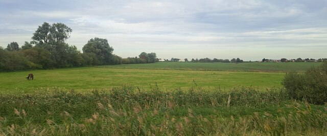
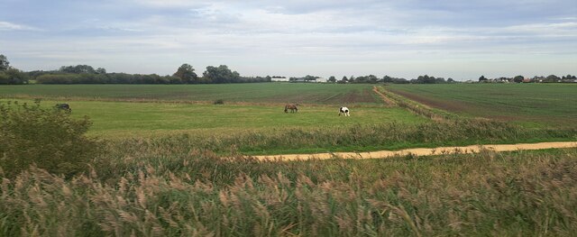
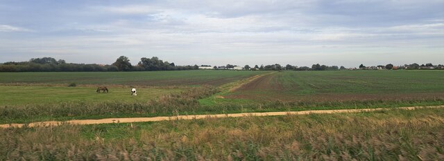
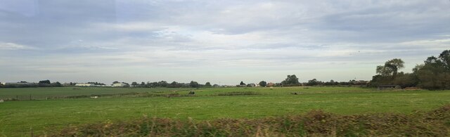
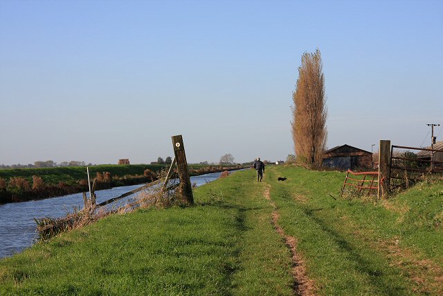
Flag Fen is an archaeological site located in Cambridgeshire, England. Situated on the outskirts of Peterborough, the site offers a unique insight into the Bronze Age and Iron Age civilizations that once thrived in the area. Spread across 40 acres of downs and moorland, Flag Fen is regarded as one of the most significant Bronze Age sites in Europe.

The main feature of Flag Fen is a wooden causeway that stretches for almost a kilometer across the wet fenland. This causeway, made up of a series of wooden planks, was constructed around 1300 BC and served as a pathway for the ancient inhabitants to traverse the marshy terrain. The preserved wooden remains of the causeway provide a rare glimpse into the construction techniques and engineering skills of the time.

In addition to the causeway, numerous artifacts have been discovered at the site, including pottery, metalwork, and personal items. These findings have helped archaeologists piece together a picture of daily life during the Bronze Age and Iron Age periods. The site also features a reconstructed roundhouse, offering visitors the chance to see what a typical dwelling would have looked like during that era.

Flag Fen is open to the public and offers guided tours, providing visitors with an opportunity to explore the site and learn about the history of the area. The site's museum displays a range of artifacts and provides further information on the archaeological discoveries made at Flag Fen.

If you have any feedback on the listing, please let us know in the comments section below.
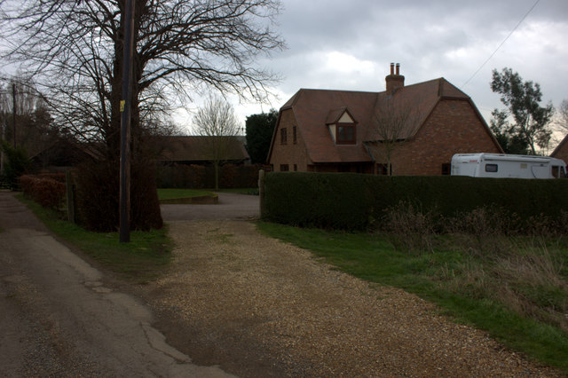
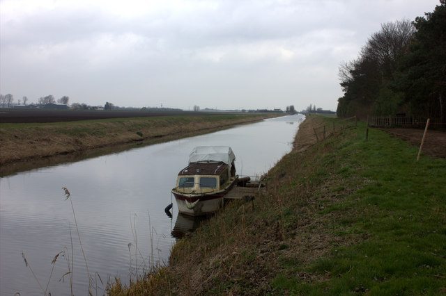
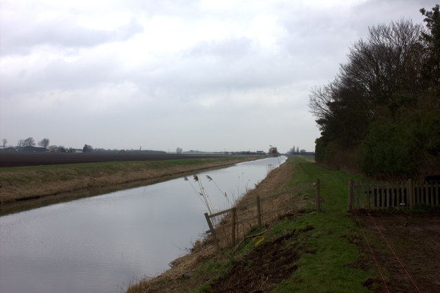
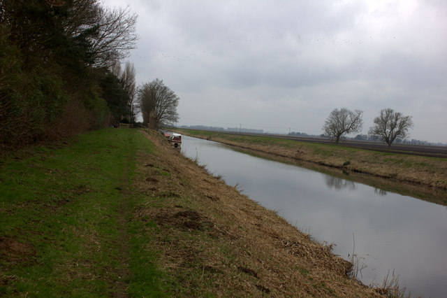
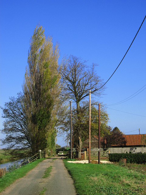
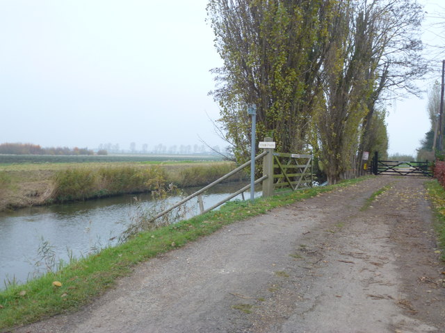
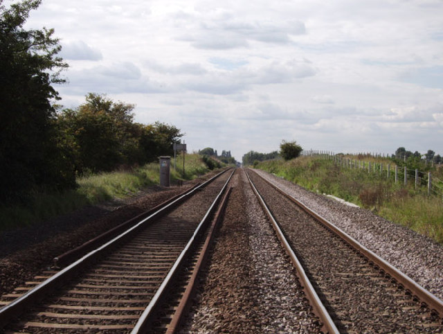
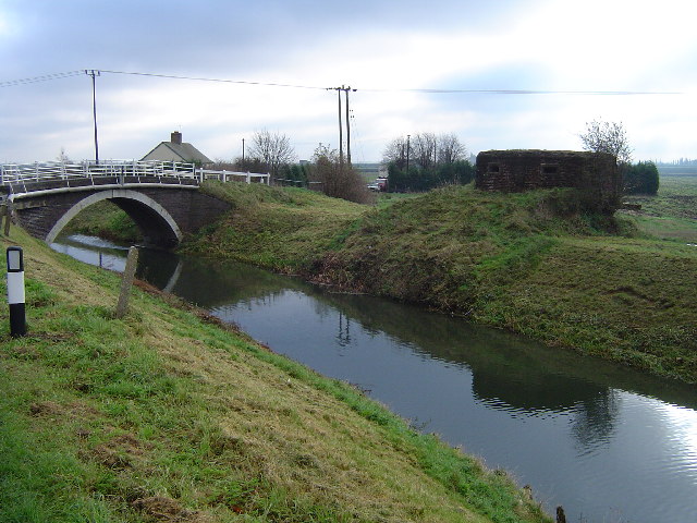
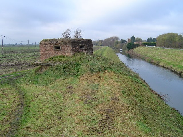
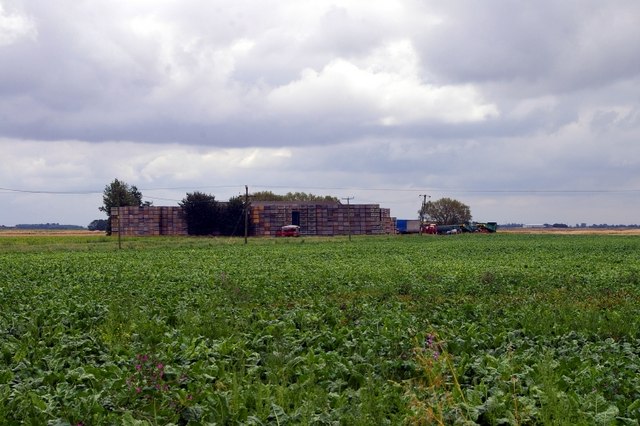
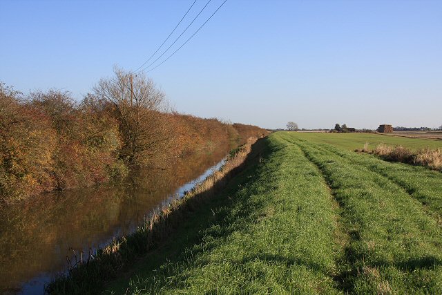
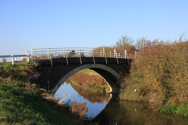
Flag Fen Images

Images are sourced within 2km of 52.53479/-0.10481751 or Grid Reference TL2894. Thanks to Geograph Open Source API. All images are credited.

Park Farm
Park Farm
Bevill's Leam at Park Farm
Gate at the edge of Park Farm The footpath is clearly marked on this section although it does appear to be going through the garden of the farm.
Gate at the edge of Park Farm
The footpath is clearly marked on this section although it does appear to be going through the garden of the farm.
Path along Bevill's Leam Looking southwestwards towards Park Farm.
Path along Bevill's Leam
Looking southwestwards towards Park Farm.
Paddock north of the railway, east of Whittlesey The horses in this paddock are attached to Partridge Barn Equestrian Centre, just off the left of the picture.
Paddock north of the railway, east of Whittlesey
The horses in this paddock are attached to Partridge Barn Equestrian Centre, just off the left of the picture.
Farmland south of Eastrea, from the railway
Park Farm, Glass Moor Fen The access road to this farm runs along the top of the leveed banks of Bevill's Leam.
Park Farm, Glass Moor Fen
The access road to this farm runs along the top of the leveed banks of Bevill's Leam.
Entrance to Park Farm, Glassmoor Bank, Whittlesey It was not clear if the footpath shown on OS maps runs through these gates. The owners are not keen for people to find out as their dog was on the public road running circles round my vehicle, jumping up the sides and yapping like mad.
Entrance to Park Farm, Glassmoor Bank, Whittlesey
It was not clear if the footpath shown on OS maps runs through these gates. The owners are not keen for people to find out as their dog was on the public road running circles round my vehicle, jumping up the sides and yapping like mad.
Peterborough to March railway line, Whittlesey, Cambs Standing on the public footpath that crosses the railway line looking west towards Whittlesey
Peterborough to March railway line, Whittlesey, Cambs
Standing on the public footpath that crosses the railway line looking west towards Whittlesey
Road bridge over disused railway line, Whittlesey, Cambs Road bridge over the disused railway line that used to run from the Peterborough March line into Gildenburgh for the transportation of bricks.
Road bridge over disused railway line, Whittlesey, Cambs
Road bridge over the disused railway line that used to run from the Peterborough March line into Gildenburgh for the transportation of bricks.
Turningtree Bridge, Whittlesey On the north of the Briggate River looking SE at the bridge. To the right is a Pill Box.
Turningtree Bridge, Whittlesey
On the north of the Briggate River looking SE at the bridge. To the right is a Pill Box.
Turningtree Bridge, Whittlesey Looking west along the Briggate River, with a brick Pill Box in the foreground.
Turningtree Bridge, Whittlesey
Looking west along the Briggate River, with a brick Pill Box in the foreground.
Chapelbridge Farm The farm is barely visible for the piles of containers and vehicles clustered round it.
Chapelbridge Farm
The farm is barely visible for the piles of containers and vehicles clustered round it.
Whittlesey Dike This navigable drain links the River Nene near Peterborough with the old course of the same river at Floods Ferry. This view is just east of Turningtree Bridge.
Whittlesey Dike
This navigable drain links the River Nene near Peterborough with the old course of the same river at Floods Ferry. This view is just east of Turningtree Bridge.
Turningtree Bridge This bridge carries the minor road to Flag Fen across the navigable Whittlesey Dike.
Turningtree Bridge
This bridge carries the minor road to Flag Fen across the navigable Whittlesey Dike.
Hereward Way and Whittlesey Dike The long-distance route follows the north bank of the dike at this point, south-east of the town of Whittlesey.
Hereward Way and Whittlesey Dike
The long-distance route follows the north bank of the dike at this point, south-east of the town of Whittlesey.
Show me another place!

Flag Fen is located at Grid Ref: TL2894 (Lat: 52.53479, Lng: -0.10481751)

Division: Isle of Ely

Administrative County: Cambridgeshire

District: Fenland

Police Authority: Cambridgeshire

What 3 Words

///dozed.jolt.match. Near Whittlesey, Cambridgeshire

Nearby Locations

Flag Fen

Related Wikis

Whittlesea railway station

Whittlesea railway station is on the Ely–Peterborough line in the East of England and serves the market town of Whittlesey, Cambridgeshire. Whittlesea...

Lattersey Field

Lattersey Field is an 11.9 hectare Local Nature Reserve in Whittlesey in Cambridgeshire. It is owned by Fenland District Council and managed by the Wildlife...

Eastrea railway station

Eastrea railway station was a station serving the village of Eastrea, Cambridgeshire on the Great Eastern Railway's line from Ely to Peterborough. The...

Eastrea

Eastrea is a village in Cambridgeshire, located on the A605 between Whittlesey and Coates. The site has been inhabited since Roman times. The population...

Sir Harry Smith Community College

Sir Harry Smith Community College is a secondary school in Whittlesey, Cambridgeshire. Opened in 1953 on the former site of the Whittlesey Workhouse, the...

Whittlesey Museum

The Whittlesey Museum is a local history museum in Market Street, Whittlesey, Cambridgeshire, England. It is based on the ground floor of Whittlesey Town...

Whittlesey Athletic F.C.

Whittlesey Athletic Football Club is a football club based in Whittlesey, Cambridgeshire, England. They are currently members of the Eastern Counties League...

Whittlesey Rural District

Whittlesey was a rural district in the Isle of Ely from 1894 to 1926. It was created by the Local Government Act 1894 based on the Whittlesey rural sanitary...

Nearby Amenities

Located within 500m of 52.53479,-0.10481751
Power: pole
Lat/Long: 52.5357379/-0.1000568
Power: pole
Lat/Long: 52.5359533/-0.10173
Power: pole
Lat/Long: 52.5355033/-0.098329
Power: pole
Lat/Long: 52.5361556/-0.1033506
Power: pole
Lat/Long: 52.5369456/-0.1095513
Power: pole
Lat/Long: 52.5363843/-0.1050559
Power: pole
Lat/Long: 52.5367886/-0.1080922
Power: pole
Lat/Long: 52.537174/-0.1110432
Turntree Farm
Landuse: farm
Note Retag: CS #48756035
Lat/Long: 52.5335574/-0.1059375
Place: farm
Lat/Long: 52.5385825/-0.1072914
Marker: aerial
Utility: gas
Lat/Long: 52.5364737/-0.1064545
Power: pole
Lat/Long: 52.5364819/-0.1065991
Man Made: street_cabinet
Street Cabinet: gas
Utility: gas
Lat/Long: 52.5364694/-0.1064552
Power: pole
Lat/Long: 52.5365993/-0.1065351
Power: pole
Lat/Long: 52.5367332/-0.1067581
The data included in this document is from www.openstreetmap.org. The data is made available under ODbL.

Have you been to Flag Fen?

Leave your review of Flag Fen below (or comments, questions and feedback).