Tor Wood

Wood, Forest in Cheshire

England

Tor Wood

Footbridge in Etherow Country Park
Footbridge in Etherow Country Park Credit: Philip Cornwall

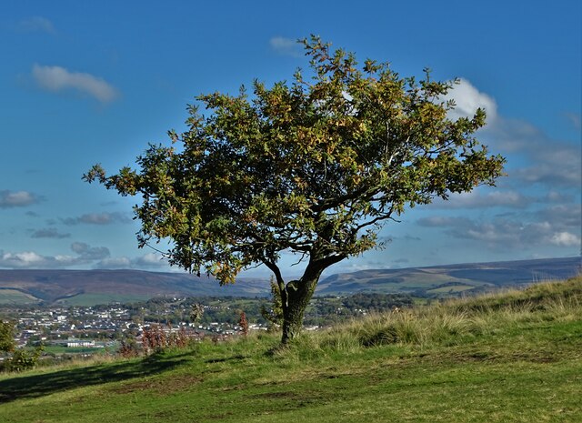
Tor Wood is a woodland area located in the county of Cheshire, England. Situated near the village of Tor, the wood covers an area of approximately 100 acres. It is a popular destination for nature enthusiasts and locals looking for a peaceful retreat.

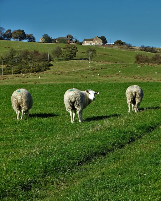
The woodland is composed of a diverse range of tree species, including oak, beech, birch, and pine. This variety of trees provides a rich habitat for a wide array of wildlife, including birds, mammals, and insects. The wood is particularly known for its population of red squirrels, which can often be spotted darting between the trees.

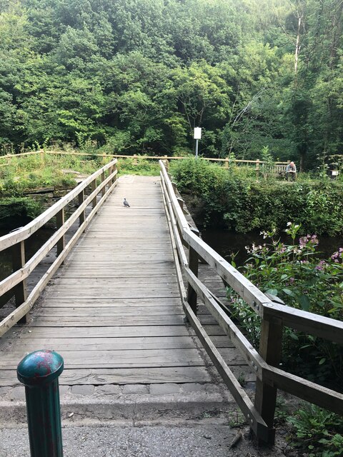
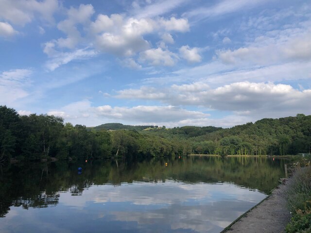
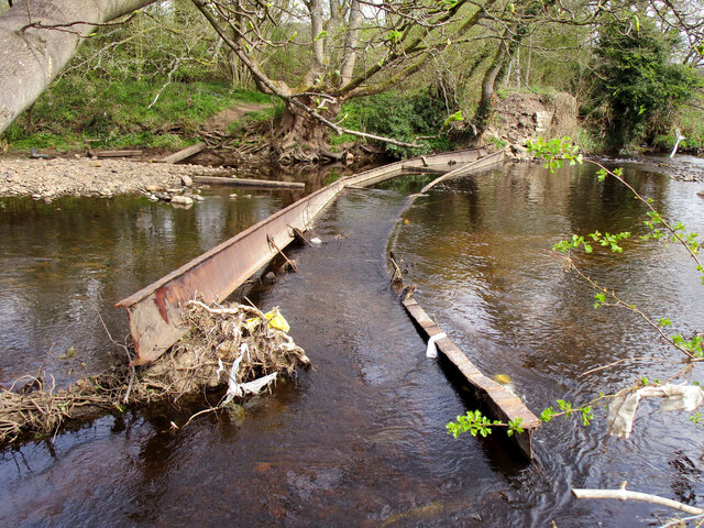
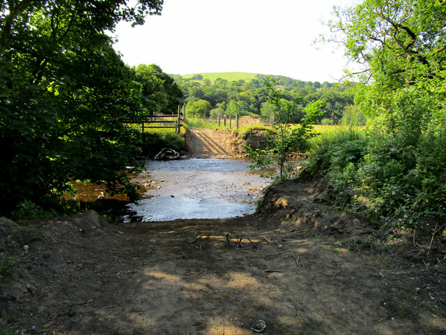
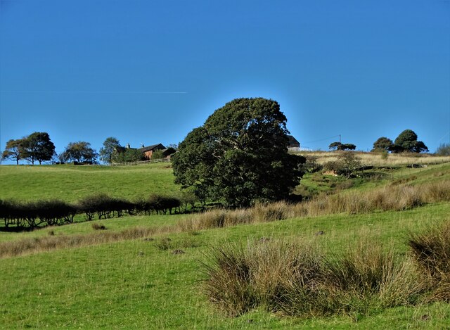
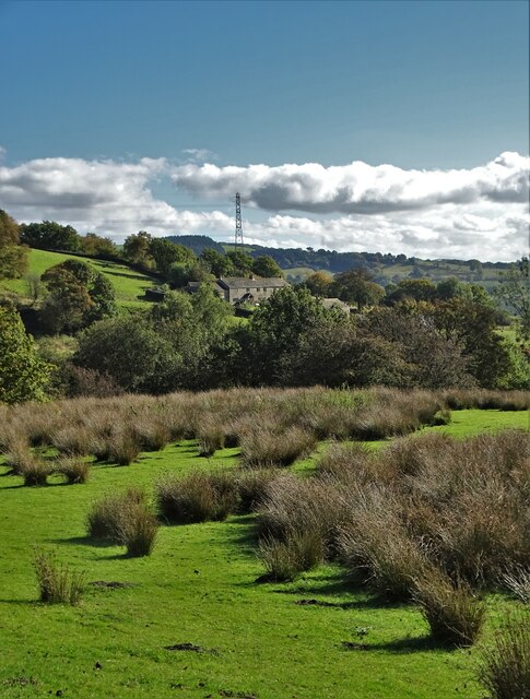
Tor Wood is crisscrossed by a network of footpaths and trails, allowing visitors to explore its natural beauty. These pathways lead through ancient woodlands and open clearings, offering stunning views of the surrounding countryside. The wood is also home to a small stream, which adds to its charm and tranquility.

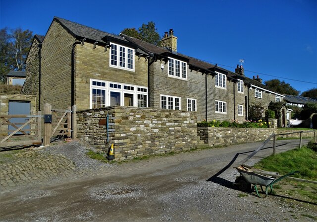
In addition to its natural beauty, Tor Wood also has historical significance. The wood is believed to have been part of the hunting grounds for the medieval lordship of Macclesfield Forest. Remnants of this history can still be found within the wood, including old boundary markers and traces of ancient settlements.

Overall, Tor Wood is a cherished natural gem in Cheshire, offering a peaceful retreat where visitors can immerse themselves in the beauty of nature and experience the rich history of the area.

If you have any feedback on the listing, please let us know in the comments section below.
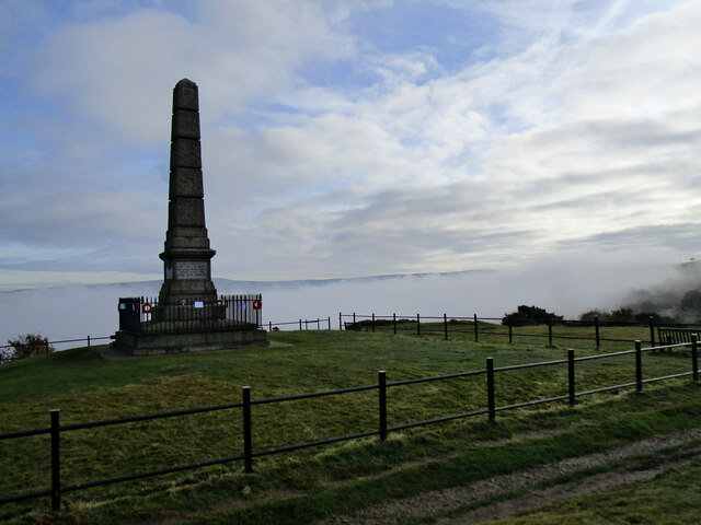
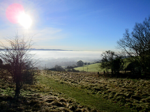
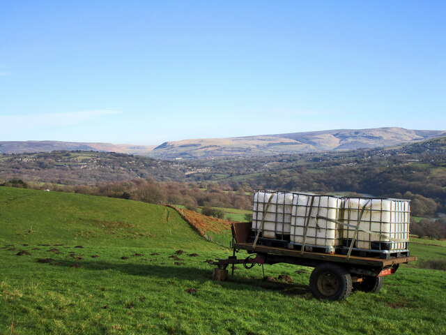
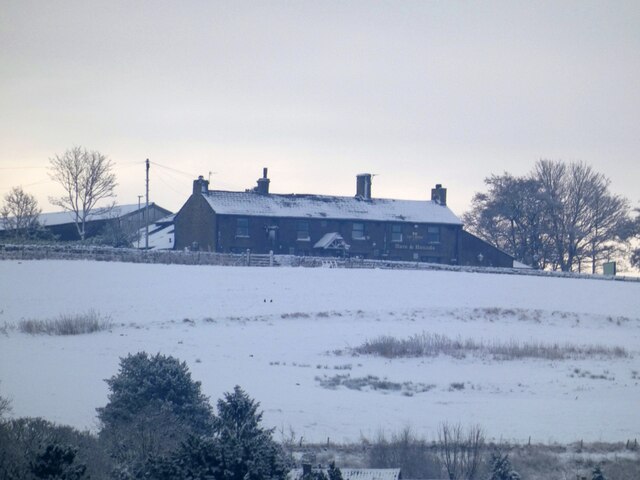
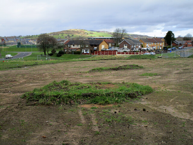
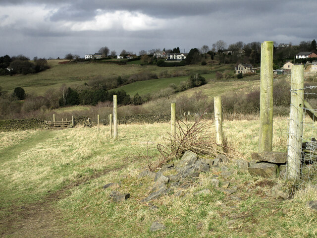
Tor Wood Images

Images are sourced within 2km of 53.4285/-2.0383983 or Grid Reference SJ9792. Thanks to Geograph Open Source API. All images are credited.

Footbridge in Etherow Country Park
The lake at Etherow Country Park
Compstall Mills
Compstall Mills
Mass Vaccination Site (Tameside) As we approach the second winter of this Coronavirus era people are being given injections for Flu and Covid-19 at this Tameside vaccination site. This area was formerly the car park for British Gas who have moved to Stockport from this site on Hattersley Industrial Estate.
Mass Vaccination Site (Tameside)
As we approach the second winter of this Coronavirus era people are being given injections for Flu and Covid-19 at this Tameside vaccination site. This area was formerly the car park for British Gas who have moved to Stockport from this site on Hattersley Industrial Estate.
Hyde Cenotaph Hyde War Memorial remembers the people who gave their lives for our country. This photograph was taken on Remembrance Say 2021.
Hyde Cenotaph
Hyde War Memorial remembers the people who gave their lives for our country. This photograph was taken on Remembrance Say 2021.
Footpath Towards Compstall The Etherow Valley full of morning mist
Footpath Towards Compstall
The Etherow Valley full of morning mist
Water Trailer These fields at a higher level have no ponds or streams, the farmer's work includes filling and transporting water barrels to keep his stock watered. The hills of the Dark Peak can be seen in the distance.
Water Trailer
These fields at a higher level have no ponds or streams, the farmer's work includes filling and transporting water barrels to keep his stock watered. The hills of the Dark Peak can be seen in the distance.
Hare and Hounds 
The Hare and Hounds on Werneth Low after  the first heavy snowfall of the winter at lower levels.
Hare and Hounds
The Hare and Hounds on Werneth Low after the first heavy snowfall of the winter at lower levels.
Hattersley Science and Technology Park Trees were felled and the land was cleared in July 2021 but since then no progress has been made on the construction of the Science Park. View of the site in 2021 <a title="https://www.geograph.org.uk/photo/6893918" href="https://www.geograph.org.uk/photo/6893918">Link</a>
Hattersley Science and Technology Park
Trees were felled and the land was cleared in July 2021 but since then no progress has been made on the construction of the Science Park. View of the site in 2021 Link
Footpath around the edge of Werneth Low This path is not part of Werneth Low Country Park, it's more like an outer ring path.
Footpath around the edge of Werneth Low
This path is not part of Werneth Low Country Park, it's more like an outer ring path.
Unsafe Bridge For about the last ten years this bridge has been closed to walkers with a sign telling "Unsafe Bridge" I for one ignored the sign but the authorities have been proved right with the bridge washing away over winter. <a title="https://www.geograph.org.uk/photo/6082029" href="https://www.geograph.org.uk/photo/6082029">Link</a>
Unsafe Bridge
For about the last ten years this bridge has been closed to walkers with a sign telling "Unsafe Bridge" I for one ignored the sign but the authorities have been proved right with the bridge washing away over winter. Link
British Gas Depot car park 
The site on the Hattersley Industrial Estate was being used as a drive-in centre for the administration of Covid vaccine boosters.
British Gas Depot car park
The site on the Hattersley Industrial Estate was being used as a drive-in centre for the administration of Covid vaccine boosters.
Ford across the River Etherow Following the destruction of the bridge <a title="https://www.geograph.org.uk/photo/6367523" href="https://www.geograph.org.uk/photo/6367523">Link</a> in winter 2021/22 a ford now gives access to the grazing meadows on the far bank of the river.
Ford across the River Etherow
Following the destruction of the bridge Link in winter 2021/22 a ford now gives access to the grazing meadows on the far bank of the river.
Three Sheep And view to Werneth Hall Farm
Three Sheep
And view to Werneth Hall Farm
Looking up to Werneth Hall Farm Mostly hidden by the tree
Looking up to Werneth Hall Farm
Mostly hidden by the tree
View to cottages on Mount Road From Near Cloughside
View to cottages on Mount Road
From Near Cloughside
Uplands Farm
Uplands Farm
Golf course tree With a view to Hattersley and Longdendale
Golf course tree
With a view to Hattersley and Longdendale
Show me another place!

Tor Wood is located at Grid Ref: SJ9792 (Lat: 53.4285, Lng: -2.0383983)

Unitary Authority: Tameside

Police Authority: Greater Manchester

What 3 Words

///slides.professed.calculating. Near Hyde, Manchester

Related Wikis

Etherow Country Park

Etherow Country Park is situated at Compstall, England, between Marple Bridge and Romiley, in the Metropolitan Borough of Stockport, Greater Manchester...

Werneth Low

Werneth Low (; WUR-nəth) is a hill in Greater Manchester, England, and a part of the Pennines. It is located on the borders of Stockport and Tameside...

Chisworth

Chisworth is a hamlet near Glossop, Derbyshire, England. It is 3 miles (4.8 km) south-west of Glossop town centre, on the south side of the Etherow valley...

Goyt Way

The Goyt Way is a 10-mile (16 km) walking route from Etherow Country Park, Greater Manchester, to Whaley Bridge, Derbyshire, following the valley of the...

Nearby Amenities

Located within 500m of 53.4285,-2.0383983
Power: tower
Lat/Long: 53.4302574/-2.044379
Power: tower
Lat/Long: 53.4315203/-2.0426388
The data included in this document is from www.openstreetmap.org. The data is made available under ODbL.

Have you been to Tor Wood?

Leave your review of Tor Wood below (or comments, questions and feedback).