Limekiln Plantation

Wood, Forest in Gloucestershire Cotswold

England

Limekiln Plantation

Old Milestone, A417, Fosse Lodge Metal plate detached from post by the A417, in parish of WINSTONE (COTSWOLD District), Fosse Lodge, Beechpike, by the old road. Cirencester iron plate, erected by the Cirencester to Birdlip turnpike trust in the 19th century.

Inscription reads: CIRENᴿ / 6 / GLOSTER / 11

Grade II Listed. Entry Number: 1341803 <span class="nowrap"><a title="https://historicengland.org.uk/listing/the-list/list-entry/1341803" rel="nofollow ugc noopener" href="https://historicengland.org.uk/listing/the-list/list-entry/1341803">Link</a><img style="margin-left:2px;" alt="External link" title="External link - shift click to open in new window" src="https://s1.geograph.org.uk/img/external.png" width="10" height="10"/></span>

Milestone Society National ID: GL_LG96
Old Milestone, A417, Fosse Lodge Credit: Mr Red

Limekiln Plantation is a picturesque woodland located in the county of Gloucestershire, England. Situated near the town of Wood, this forested area covers an approximate area of 100 acres, making it a popular destination for nature lovers and outdoor enthusiasts.

The plantation got its name from the historic lime kilns that were once used in the area to produce lime for various purposes. Although the kilns are no longer in use, their remnants can still be seen, adding an intriguing historical element to the plantation.

The woodland itself is predominantly composed of oak trees, with their towering presence creating a majestic atmosphere. Interspersed between the oaks, visitors can also find a variety of other tree species such as beech, ash, and silver birch, creating a diverse and vibrant ecosystem.

Limekiln Plantation is crisscrossed by a network of well-maintained trails, making it an ideal place for leisurely walks or more challenging hikes. These trails offer visitors the opportunity to explore the plantation's natural beauty and discover its hidden gems, including small streams, wildflowers, and an abundance of wildlife.

The plantation is also home to a rich array of bird species, making it a haven for birdwatchers. Visitors may be lucky enough to spot woodpeckers, buzzards, and even the occasional owl.

In summary, Limekiln Plantation in Gloucestershire is a stunning woodland that offers visitors a chance to immerse themselves in nature's beauty. With its historic lime kilns, diverse tree species, and abundant wildlife, it is a must-visit destination for anyone seeking tranquility and a connection with the natural world.

If you have any feedback on the listing, please let us know in the comments section below.

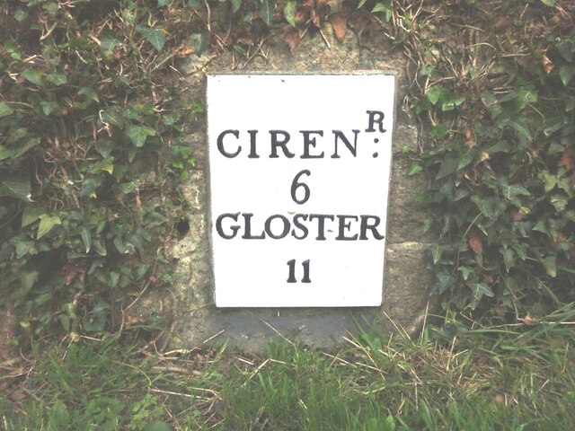
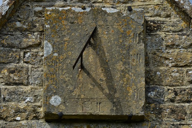
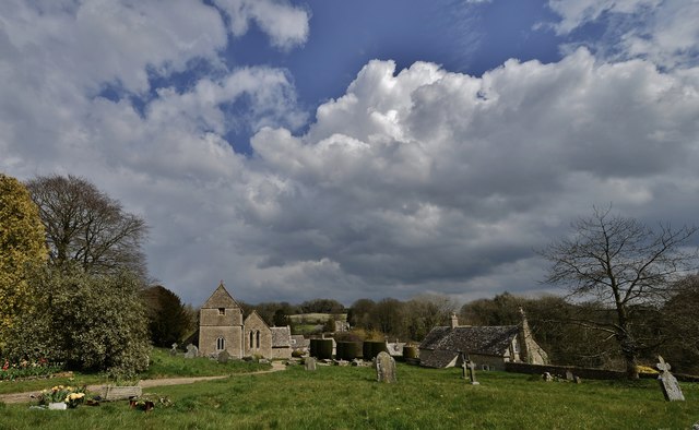
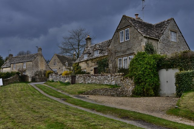
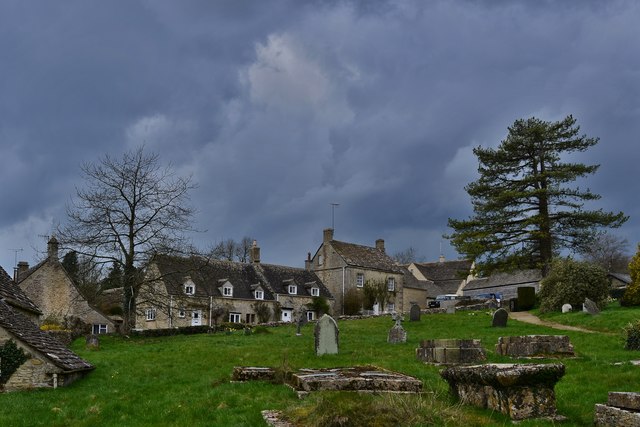
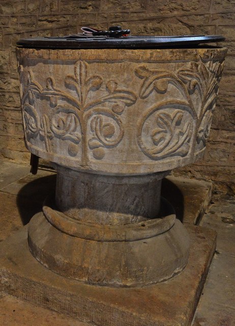
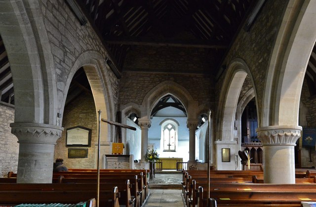
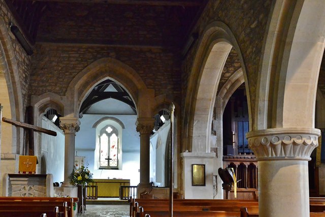
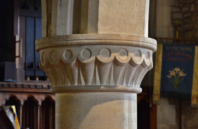
Limekiln Plantation Images

Images are sourced within 2km of 51.783993/-2.0369622 or Grid Reference SO9709. Thanks to Geograph Open Source API. All images are credited.

Old Milestone, A417, Fosse Lodge Metal plate detached from post by the A417, in parish of WINSTONE (COTSWOLD District), Fosse Lodge, Beechpike, by the old road. Cirencester iron plate, erected by the Cirencester to Birdlip turnpike trust in the 19th century.

Inscription reads: CIRENᴿ / 6 / GLOSTER / 11

Grade II Listed. Entry Number: 1341803 <span class="nowrap"><a title="https://historicengland.org.uk/listing/the-list/list-entry/1341803" rel="nofollow ugc noopener" href="https://historicengland.org.uk/listing/the-list/list-entry/1341803">Link</a><img style="margin-left:2px;" alt="External link" title="External link - shift click to open in new window" src="https://s1.geograph.org.uk/img/external.png" width="10" height="10"/></span>

Milestone Society National ID: GL_LG96
Old Milestone, A417, Fosse Lodge
Metal plate detached from post by the A417, in parish of WINSTONE (COTSWOLD District), Fosse Lodge, Beechpike, by the old road. Cirencester iron plate, erected by the Cirencester to Birdlip turnpike trust in the 19th century. Inscription reads: CIRENᴿ / 6 / GLOSTER / 11 Grade II Listed. Entry Number: 1341803 LinkExternal link Milestone Society National ID: GL_LG96
Ripe wheat crop Looking westwards towards the houses beside the A419, Ermin Way.
The Winstone radio mast can be seen centre distance.
Ripe wheat crop
Looking westwards towards the houses beside the A419, Ermin Way. The Winstone radio mast can be seen centre distance.
Line of a byway This hardly-used right of way cuts through arable land with a maize crop in the summer of 2022.
Line of a byway
This hardly-used right of way cuts through arable land with a maize crop in the summer of 2022.
Duntisbourne Abbots: An attractive row of cottages
Duntisbourne Abbots: St. Peter's Church
Duntisbourne Abbots: Well manicured yews leading to St. Peter's Church
Duntisbourne Abbots: St. Peter's Church: The trilobed plant design on the font This is believed to represent The Holy Trinity.
Duntisbourne Abbots: St. Peter's Church: The trilobed plant design on the font
This is believed to represent The Holy Trinity.
Duntisbourne Abbots: St. Peter's Church: Capital detail
Duntisbourne Abbots: St. Peter's Church: The sundial on the south porch
Duntisbourne Abbots: St. Peter's Church
Duntisbourne Abbots: Cottages
Duntisbourne Abbots: Cottages from the path to the church
Duntisbourne Abbots: The Norman font
Duntisbourne Abbots: The nave
Duntisbourne Abbots: The unusual three part chancel arch
Duntisbourne Abbots: Nave capital 1
Duntisbourne Abbots: Nave capital 2
Show me another place!

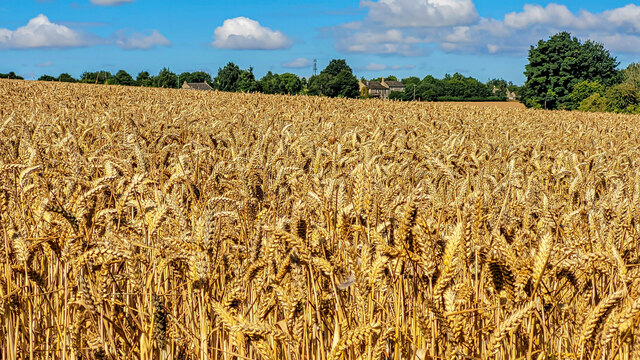
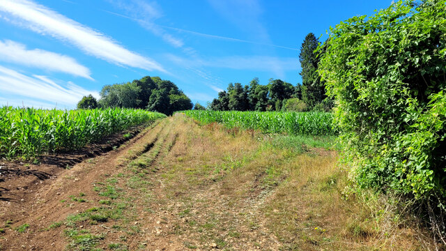
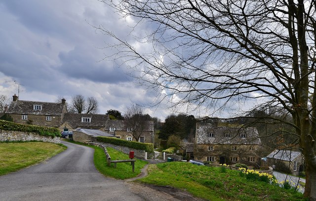
Limekiln Plantation is located at Grid Ref: SO9709 (Lat: 51.783993, Lng: -2.0369622)

Administrative County: Gloucestershire

District: Cotswold

Police Authority: Gloucestershire

What 3 Words

///living.tram.imprints. Near Stratton, Gloucestershire

Nearby Locations

Limekiln Plantation

Related Wikis

Five Mile House, Duntisbourne Abbots

The Five Mile House is a former pub on Old Gloucester Road, Duntisbourne Abbots, Gloucestershire, England. It was built in the 17th century and is grade...

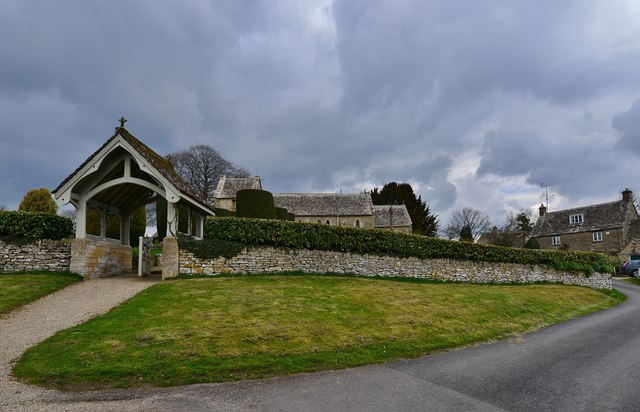
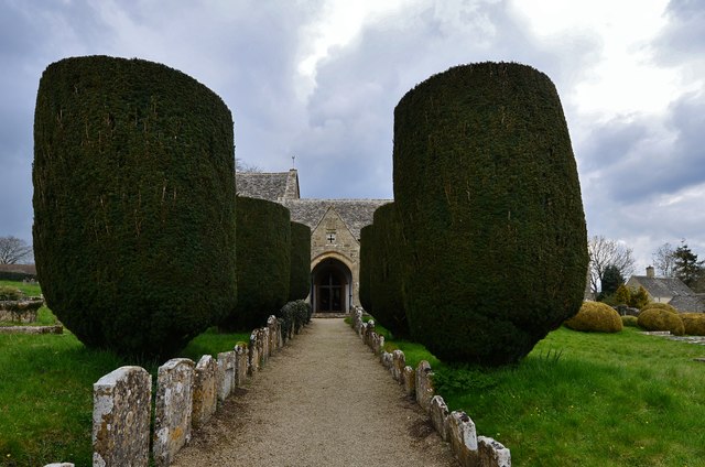
Church of St Bartholomew, Winstone

The Anglican Church of St Bartholomew at Winstone in the Cotswold District of Gloucestershire, England was built in the 11th century. It is a grade I listed...

Winstone

Winstone is a village and civil parish in the English county of Gloucestershire. The population taken at the 2011 census was 270.Winstone forms part of...

Davenport House, Duntisbourne Abbots

Davenport House is an historic building in the English village of Duntisbourne Abbots, Gloucestershire. Located on the eastern side of the village, it...

Duntisbourne Abbots

Duntisbourne Abbots is a village and civil parish located in the English county of Gloucestershire. Duntisbourne Abbots forms part of the Cotswold District...

Cotswolds

The Cotswolds ( KOTS-wohldz, KOTS-wəldz) is a region in central-southwest England, along a range of rolling hills that rise from the meadows of the upper...

Duntisbourne Leer

Duntisbourne Leer is a hamlet in the county of Gloucestershire, and lies within the Cotswolds, a range of hills designated an Area of Outstanding Natural...

Woodmancote, Cirencester

Woodmancote is a Cotswolds village near Cirencester, Gloucestershire, England. The village lies just off the A435. The village is 0.2 square miles (52...

Nearby Amenities

Located within 500m of 51.783993,-2.0369622
Bus Stop
Duntisbourne Abbots Turn
Bus: yes
Naptan AtcoCode: 1600GLA36534
Naptan Bearing: NW
Naptan CommonName: Duntisbourne Abbots Turn
Naptan NaptanCode: glogmdgw
Naptan Street: A417
Naptan Verified: no
Public Transport: platform
Source: naptan_import
Lat/Long: 51.7803525/-2.0353115
Power: pole
Lat/Long: 51.7852916/-2.040914
Power: pole
Lat/Long: 51.7847973/-2.0423088
Motorway Junction
Lat/Long: 51.7839485/-2.0387003
Power: pole
Lat/Long: 51.7842598/-2.0438505
Power: pole
Lat/Long: 51.7873817/-2.0404306
Power: pole
Lat/Long: 51.7857407/-2.0396264
Power: pole
Lat/Long: 51.7859218/-2.039115
The data included in this document is from www.openstreetmap.org. The data is made available under ODbL.

Have you been to Limekiln Plantation?

Leave your review of Limekiln Plantation below (or comments, questions and feedback).