Spring Slade Wood
Wood, Forest in Staffordshire South Staffordshire
England
Spring Slade Wood
Spring Slade Wood is a picturesque forest located in the county of Staffordshire, England. Covering an area of approximately 500 acres, this woodland is renowned for its natural beauty and diverse range of flora and fauna.
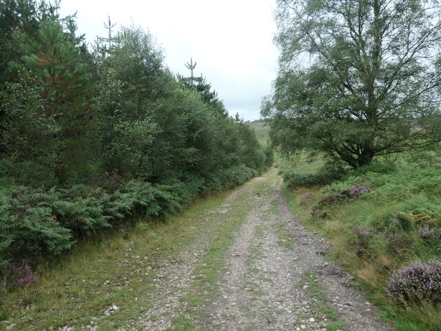
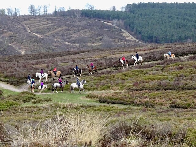
The wood is characterized by its dense canopy of ancient trees, including oak, beech, and birch, which provide a sheltered habitat for a variety of wildlife. Visitors to the wood can expect to encounter a plethora of bird species, such as woodpeckers, owls, and songbirds, as well as mammals like deer, foxes, and badgers.
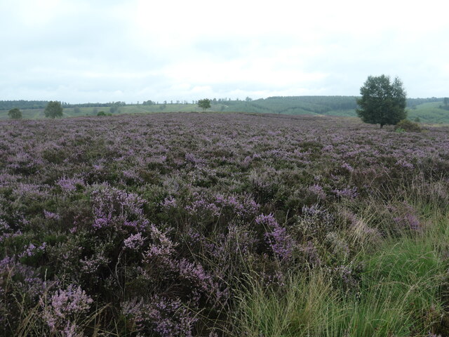
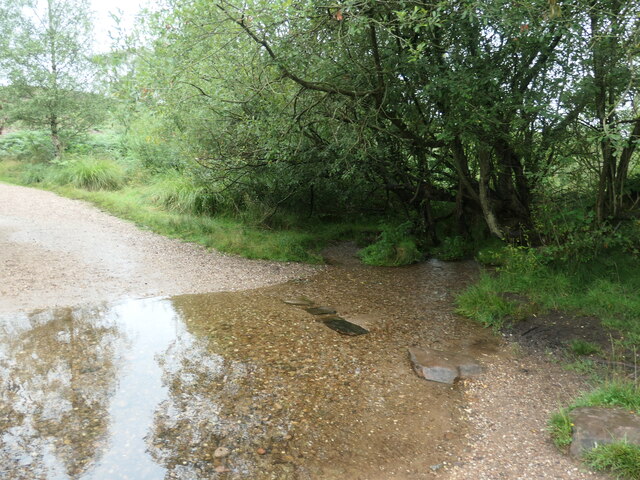
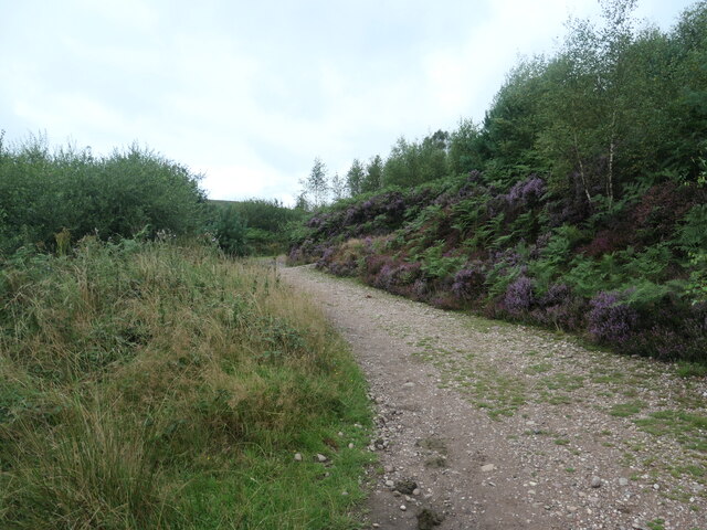
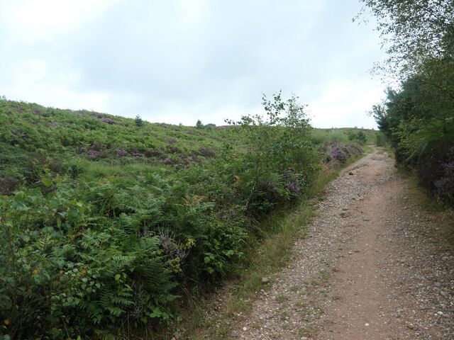
Tranquil streams meander through the wood, creating a serene atmosphere and providing a source of water for the resident wildlife. The undergrowth is abundant with wildflowers, adding vibrant splashes of color to the woodland floor during spring and summer. Bluebells, primroses, and ferns are just a few examples of the flora that can be found in this enchanting forest.
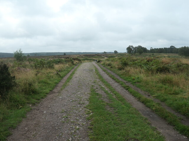
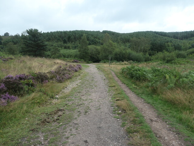
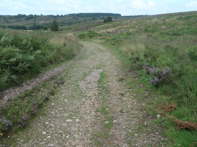
Spring Slade Wood offers numerous walking trails for visitors to explore and enjoy the natural surroundings. These paths wind their way through the forest, allowing visitors to immerse themselves in the peaceful ambiance and discover the hidden treasures within. The wood is a popular destination for nature lovers, hikers, and photographers, who are drawn to its unspoiled beauty and serene atmosphere.
Overall, Spring Slade Wood in Staffordshire is a captivating woodland that offers a sanctuary for both wildlife and humans alike. Its ancient trees, diverse wildlife, and scenic trails make it a must-visit destination for anyone seeking solace in nature.
If you have any feedback on the listing, please let us know in the comments section below.
Spring Slade Wood Images
Images are sourced within 2km of 52.749406/-2.0378241 or Grid Reference SJ9716. Thanks to Geograph Open Source API. All images are credited.
![Sher Brook, at the stepping stones Looking upstream [locally south].](https://s1.geograph.org.uk/geophotos/06/94/54/6945489_b6c7d9b6.jpg)


Spring Slade Wood is located at Grid Ref: SJ9716 (Lat: 52.749406, Lng: -2.0378241)
Administrative County: Staffordshire
District: South Staffordshire
Police Authority: Staffordshire
What 3 Words
///dogs.shippers.thick. Near Colwich, Staffordshire
Related Wikis

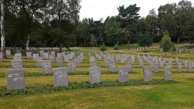
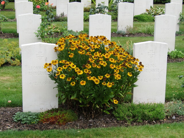
Cannock Chase German Military Cemetery
The Cannock Chase German Military Cemetery (grid reference SJ984157) is on Cannock Chase, Staffordshire, England. The cemetery contains nearly 5,000 burials...

Bednall
Bednall is a village in Staffordshire, England. == Location == Bednall lies somewhat remote from main roads, in dairy-farming countryside some 2.5 miles...

Cannock Chase
Cannock Chase (grid reference SK000165), often referred to locally as The Chase, is a mixed area of countryside in the county of Staffordshire, England...

Pye Green BT Tower
Pye Green BT Tower is a 96.9-metre (318 ft) tall telecommunication tower built of reinforced concrete at Pye Green, Staffordshire, England (grid reference...

Brocton, Staffordshire
Brocton is a village and civil parish in the English county of Staffordshire. It is within the borough of Stafford. The village describes itself as the...

Teddesley Hall
Teddesley Hall was a large Georgian English country house located close to Penkridge in Staffordshire, now demolished. It was the main seat firstly of...
Acton Trussell and Bednall
Acton Trussell and Bednall is a civil parish in the South Staffordshire district of Staffordshire, England. As the name indicates, it contains the two...
Brindley Heath
Brindley Heath is an area of heath land on Cannock Chase situated between Hednesford and Rugeley in the Cannock Chase District of Staffordshire, England...
Nearby Amenities
Located within 500m of 52.749406,-2.0378241Have you been to Spring Slade Wood?
Leave your review of Spring Slade Wood below (or comments, questions and feedback).