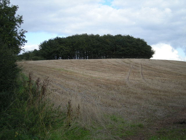
Twiland Wood
Wood, Forest in Worcestershire Bromsgrove
England
Twiland Wood

The requested URL returned error: 429 Too Many Requests
If you have any feedback on the listing, please let us know in the comments section below.
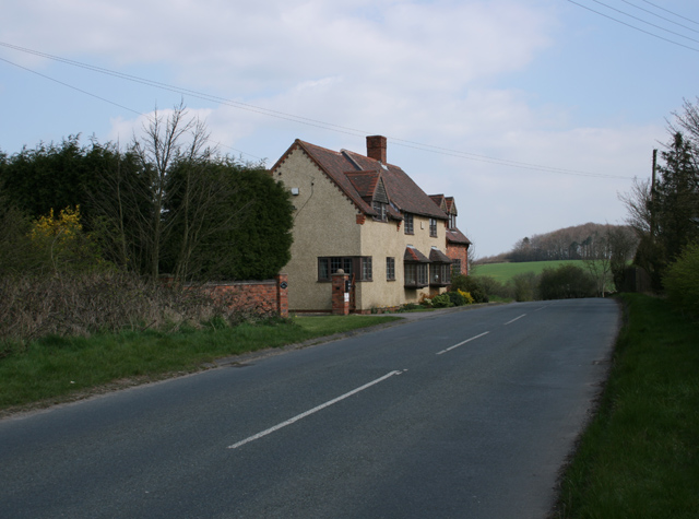
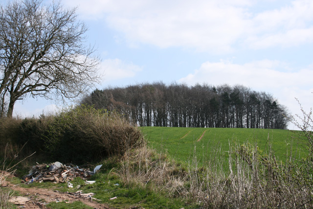
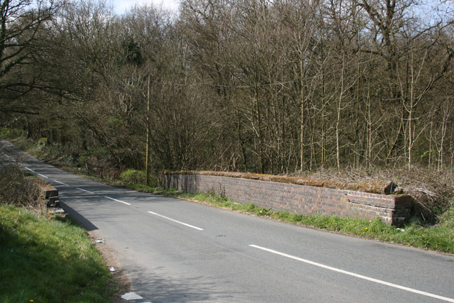
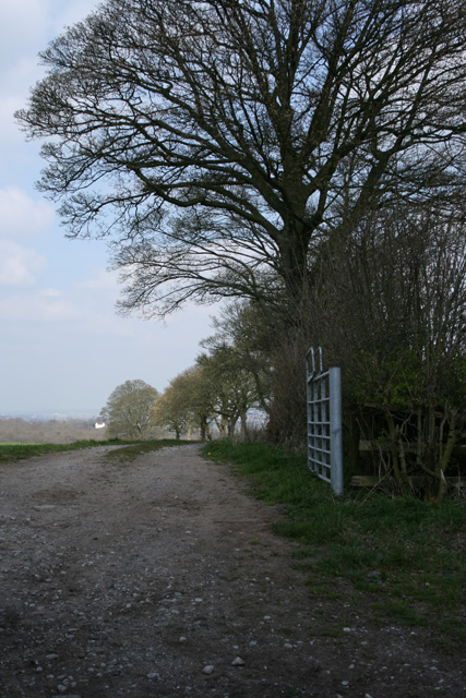
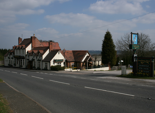
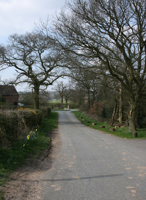
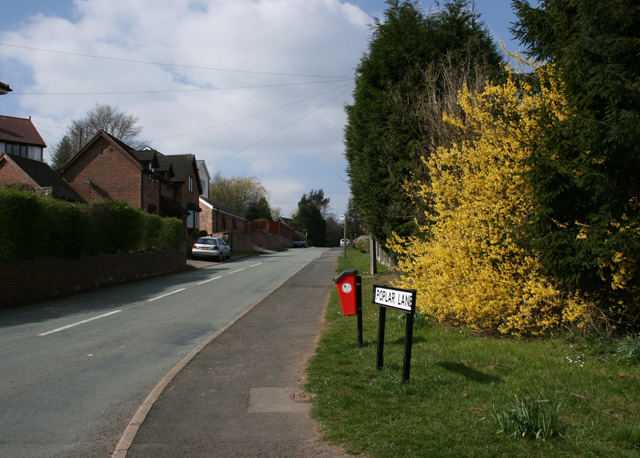
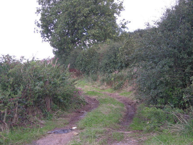
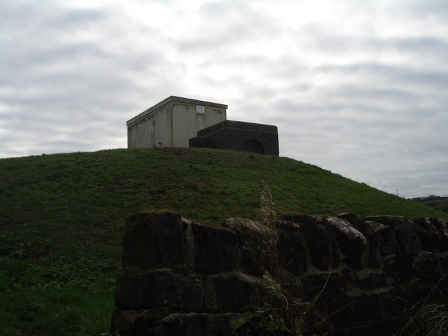
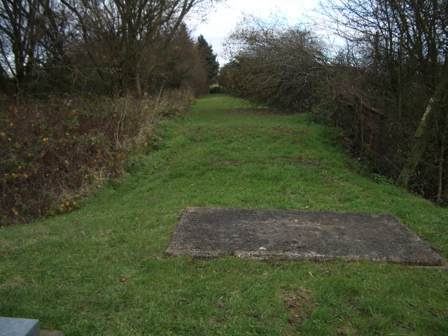
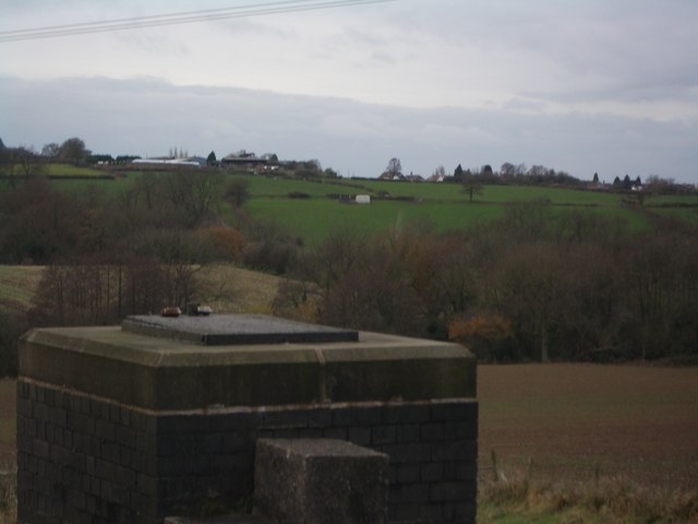
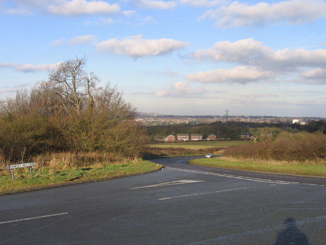
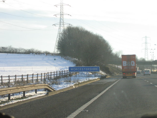
Twiland Wood Images
Images are sourced within 2km of 52.424029/-2.0376166 or Grid Reference SO9780. Thanks to Geograph Open Source API. All images are credited.


Twiland Wood is located at Grid Ref: SO9780 (Lat: 52.424029, Lng: -2.0376166)
Administrative County: Worcestershire
District: Bromsgrove
Police Authority: West Mercia
What 3 Words
///digit.tapes.rise. Near Romsley, Worcestershire
Nearby Locations
Related Wikis
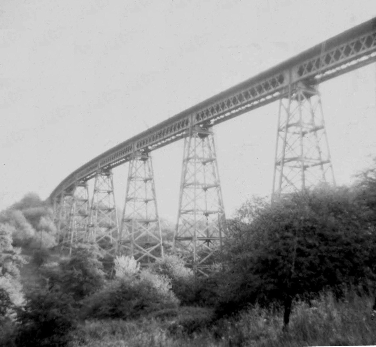
Dowery Dell Viaduct
Dowery Dell, between Rubery and Halesowen in Worcestershire, was a 234 yards (214 m), nine span lattice steel, single-track railway viaduct that carried...

Illey Pastures
Illey Pastures is a 3.5-hectare (8.6-acre) biological site of Special Scientific Interest in the West Midlands. The site was notified in 1989 under the...

Hunnington railway station
Hunnington railway station was a railway station in the village of Hunnington, near Halesowen, England, on the Great Western Railway & Midland Railway...

Hunnington
Hunnington is a village and civil parish in the Bromsgrove District of Worcestershire, England, close to the border with West Midlands, and just south...
Nearby Amenities
Located within 500m of 52.424029,-2.0376166Have you been to Twiland Wood?
Leave your review of Twiland Wood below (or comments, questions and feedback).