Carr Plantation
Wood, Forest in Yorkshire Richmondshire
England
Carr Plantation
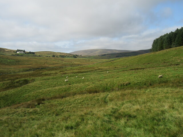
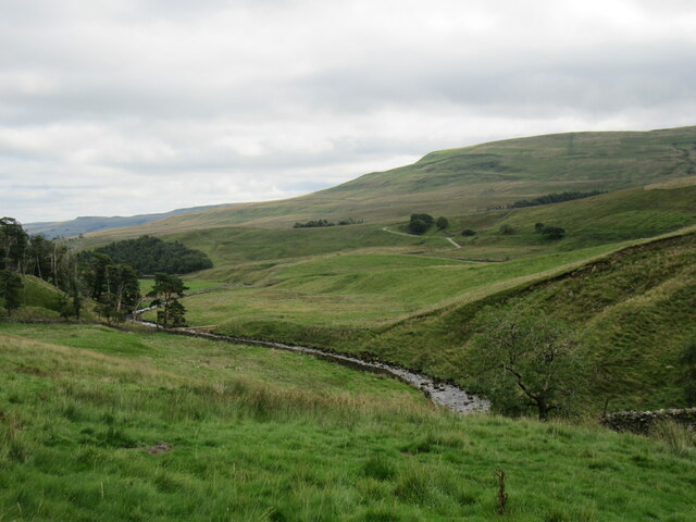
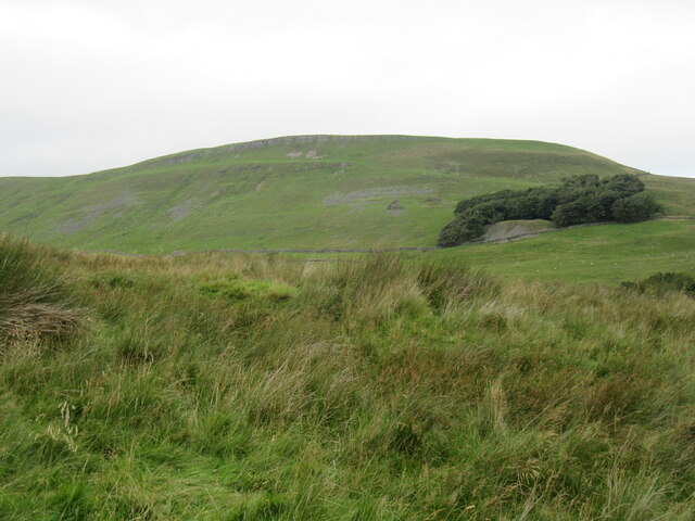
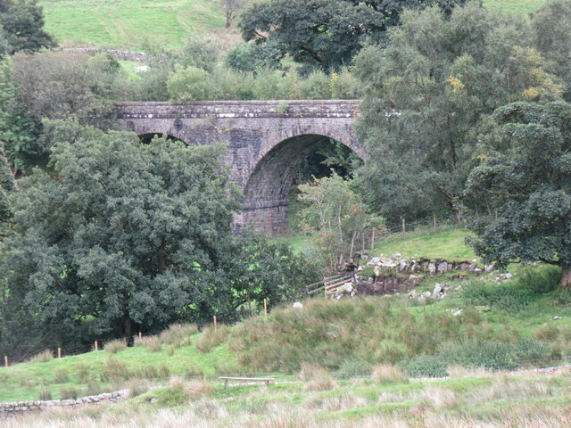
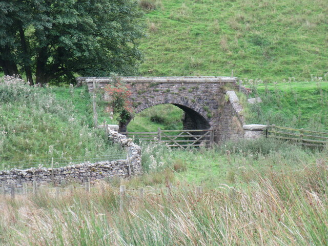
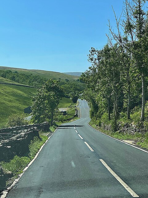
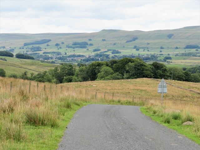
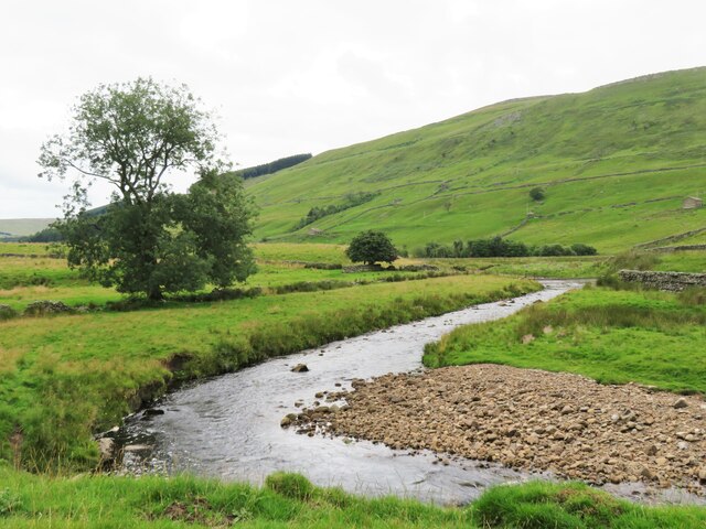
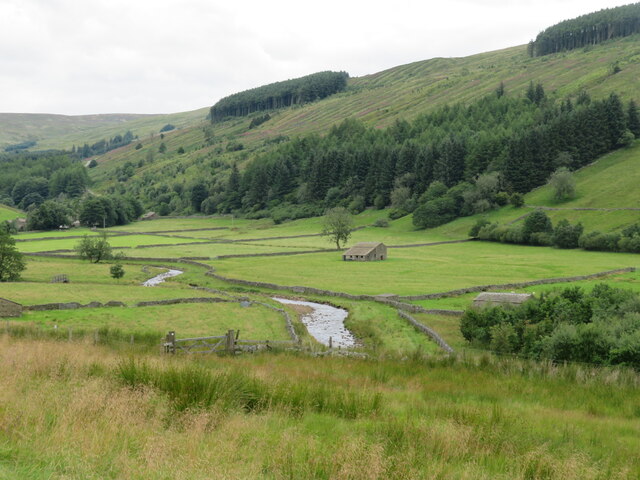
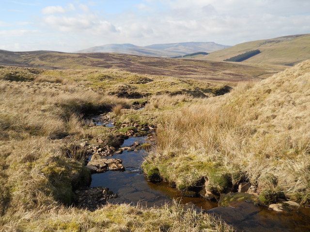
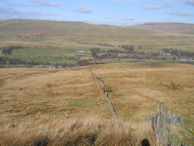
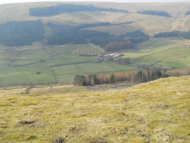
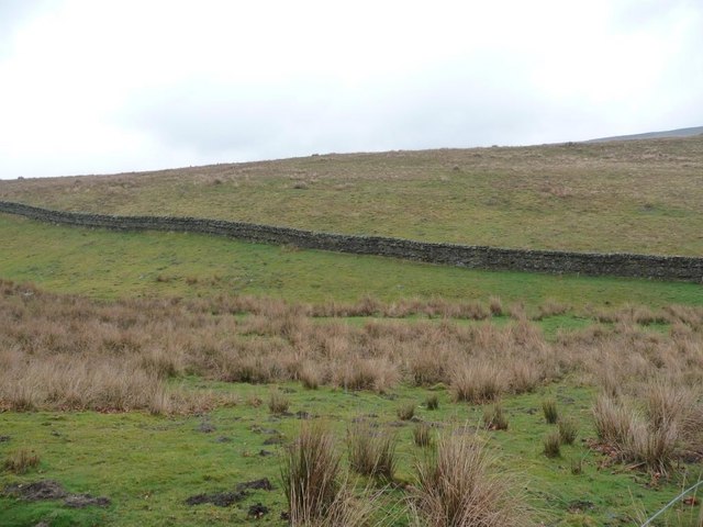
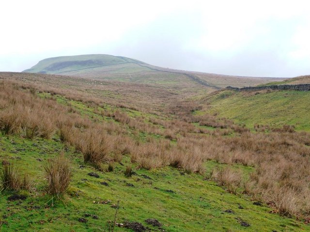
Carr Plantation, located in the picturesque county of Yorkshire, is a sprawling woodland area renowned for its natural beauty and rich biodiversity. Situated on the outskirts of the small village of Wood, the plantation covers a vast expanse of land, with dense forests and towering trees as far as the eye can see.
The plantation is a haven for wildlife enthusiasts and nature lovers alike. Its diverse ecosystem supports a wide range of flora and fauna, making it an important habitat for various species. The woodland is home to a plethora of native trees, including oak, birch, and beech, which provide a stunning display of colors throughout the seasons.
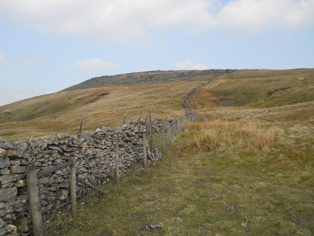
Walking through Carr Plantation, visitors are treated to a tranquil and serene environment. The woodland is crisscrossed with a network of well-maintained trails, allowing visitors to explore and discover the hidden gems within. The paths meander through the plantation, leading to open clearings, babbling brooks, and enchanting glades.
The plantation is also known for its historical significance. With records dating back centuries, Carr Plantation has played a vital role in the local community. It has been a source of timber for various industries, including shipbuilding and construction, and has witnessed the changing landscape of Yorkshire throughout the years.
Today, Carr Plantation stands as a testament to the importance of preserving and appreciating nature. Its breathtaking scenery, tranquil atmosphere, and abundance of wildlife make it a must-visit destination for anyone seeking a true escape into the heart of Yorkshire's natural beauty.
If you have any feedback on the listing, please let us know in the comments section below.
Carr Plantation Images
Images are sourced within 2km of 54.325844/-2.266885 or Grid Reference SD8292. Thanks to Geograph Open Source API. All images are credited.
Carr Plantation is located at Grid Ref: SD8292 (Lat: 54.325844, Lng: -2.266885)
Division: North Riding
Administrative County: North Yorkshire
District: Richmondshire
Police Authority: North Yorkshire
What 3 Words
///bulb.taskbar.boardroom. Near Sedbergh, Cumbria
Nearby Locations
Related Wikis

Cotterdale
Cotterdale is a small side dale and hamlet on the north side of Wensleydale in North Yorkshire, England. The dale lies to the west of Great Shunner Fell...

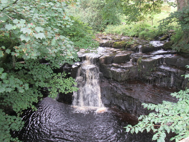
Cotter Force
Cotter Force is a small waterfall on Cotterdale Beck, a minor tributary of the River Ure, near the mouth of Cotterdale, a side dale in Wensleydale, North...
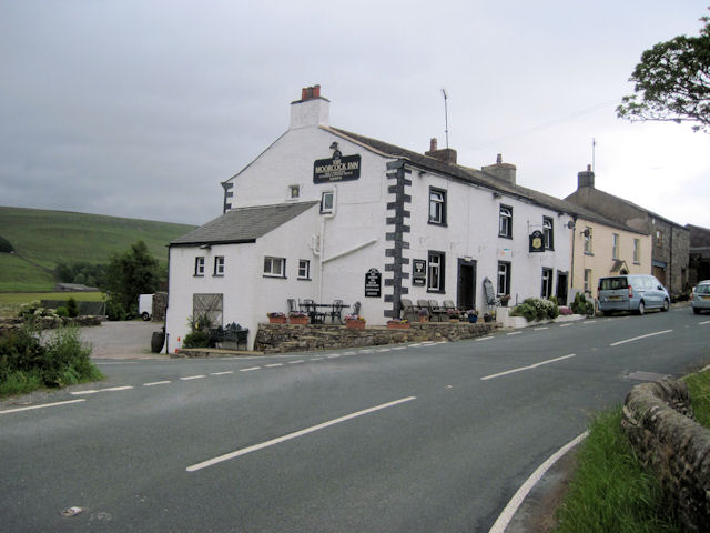
Moorcock Inn
The Moorcock Inn is a public house at the watershed of the Eden, Clough and Ure rivers, in Upper Wensleydale, North Yorkshire, England. It is adjacent...

Dandry Mire Viaduct
Dandry Mire Viaduct, (or Dandrymire Viaduct), is a railway viaduct on the Settle & Carlisle line in Cumbria, England. It is just north of Garsdale station...

Appersett
Appersett is a hamlet in the Yorkshire Dales in the Richmondshire district of North Yorkshire, England one mile (1.6 km) west of Hawes. It lies on the...

Garsdale railway station
Garsdale is a railway station in Cumbria, England (historically in the West Riding of Yorkshire), on the Settle and Carlisle Line, which runs between Carlisle...

Lunds, North Yorkshire
Lunds is a hamlet in North Yorkshire, England, near to the watershed of the Eden and Ure rivers. It is on the border between Cumbria and North Yorkshire...

Hardraw
Hardraw is a hamlet near Hawes within the Yorkshire Dales in North Yorkshire, England. It takes its name from the nearby Hardraw Force waterfall. The old...
Nearby Amenities
Located within 500m of 54.325844,-2.266885Have you been to Carr Plantation?
Leave your review of Carr Plantation below (or comments, questions and feedback).