Amersber Wood
Wood, Forest in Westmorland Eden
England
Amersber Wood
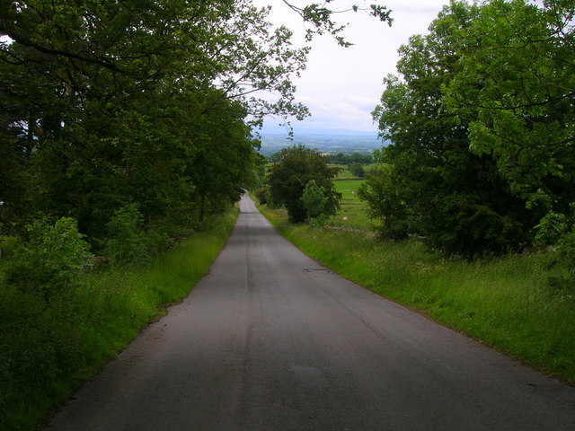
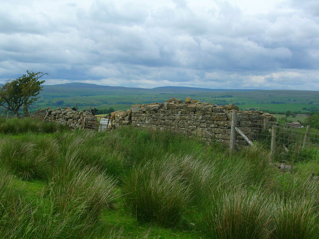
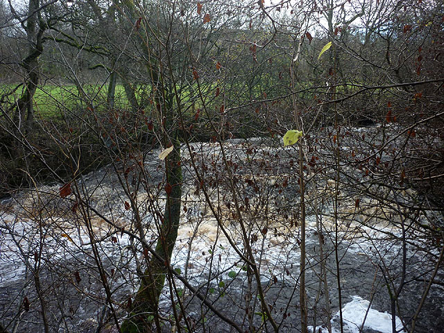
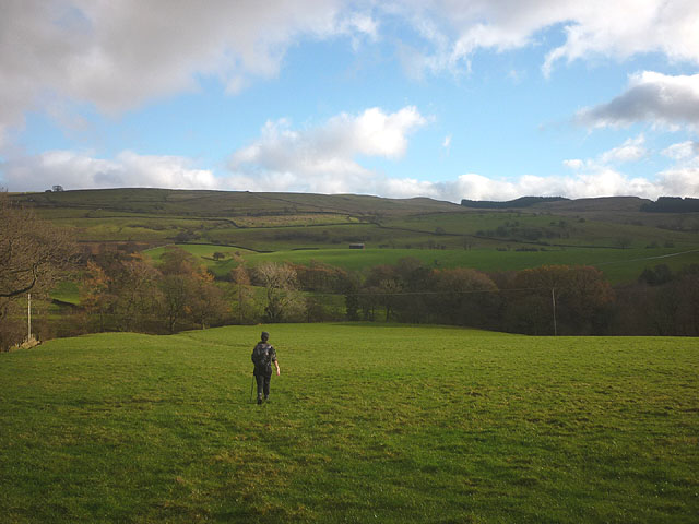
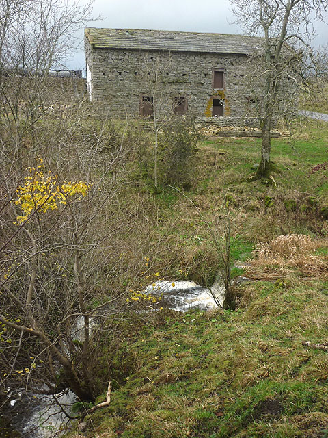
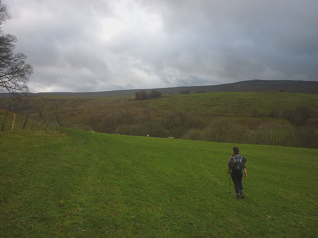
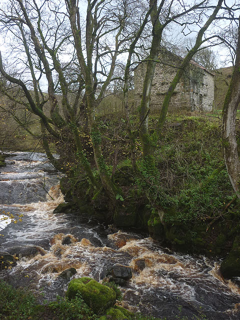
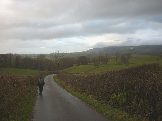
Amersber Wood is a charming forest located in Westmorland, a historic county in the northwest region of England. Covering an area of approximately 100 acres, this woodland is nestled amidst the picturesque landscape of the Lake District National Park.
The wood is primarily composed of a diverse range of deciduous trees, including oak, birch, beech, and ash, which create a vibrant and ever-changing canopy throughout the seasons. These magnificent trees provide a haven for an array of wildlife, making it a popular destination for nature enthusiasts and birdwatchers.
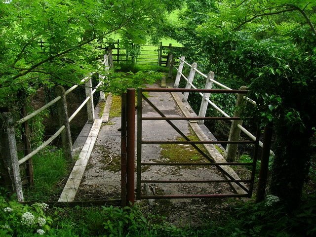
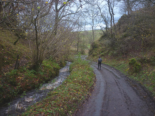
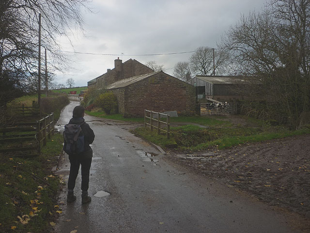
The forest is crisscrossed by a network of well-maintained walking trails, allowing visitors to explore its beauty at their own pace. Along these trails, one can discover an abundance of wildflowers, ferns, and mosses, adding to the enchanting atmosphere of the woodland. The peaceful ambiance, coupled with the gentle rustling of leaves and melodic birdsong, create a tranquil and serene environment, perfect for relaxation and contemplation.
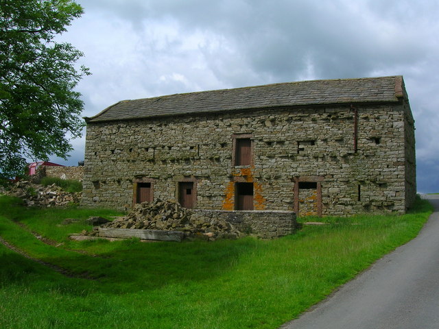
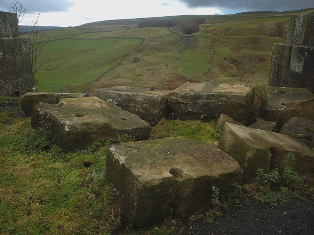
Amersber Wood is also known for its historical significance. In the past, the wood played a crucial role in providing timber for various industries, such as shipbuilding and charcoal production. Today, remnants of these activities can still be seen in the form of old sawpits and charcoal platforms, adding a touch of nostalgia to the woodland's charm.
Whether you are seeking a peaceful retreat, an opportunity to connect with nature, or a glimpse into the region's past, Amersber Wood offers a truly captivating experience for visitors of all ages.
If you have any feedback on the listing, please let us know in the comments section below.
Amersber Wood Images
Images are sourced within 2km of 54.491285/-2.2678236 or Grid Reference NY8210. Thanks to Geograph Open Source API. All images are credited.
Amersber Wood is located at Grid Ref: NY8210 (Lat: 54.491285, Lng: -2.2678236)
Administrative County: Cumbria
District: Eden
Police Authority: Cumbria
What 3 Words
///zaps.wove.dips. Near Kirkby Stephen, Cumbria
Nearby Locations
Related Wikis

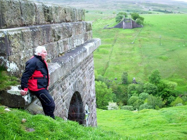
Belah Viaduct
The Belah Viaduct was a railway viaduct on the South Durham and Lancashire Union Railway, crossing the River Belah, in Cumbria, England, about 1 mile...

Barras, Cumbria
Barras is a hamlet close to the River Belah, about 4 miles (6 kilometres) south-east of Brough, Cumbria, England. Until the creation of the new county...

Barras railway station
Barras railway station was situated on the South Durham & Lancashire Union Railway between Barnard Castle and Kirkby Stephen East. == History == The station...
Kaber, Cumbria
Kaber is a village and civil parish in the Eden District of Cumbria, England. == Location and topography == The village is located about 2 miles (3.2 km...

Snowdrift at Bleath Gill
Snowdrift at Bleath Gill is a 1955 British Transport Film documentary directed by Kenneth Fairbairn. The 10-minute-long film presents a first-hand account...
Brough Sowerby
Brough Sowerby is a village and civil parish in the Eden district of Cumbria, England. It is located 22.3 miles south east of the town Penrith. According...

Stainmore
Stainmore is a remote geographic area in the Pennines on the border of Cumbria, County Durham and North Yorkshire. The name is used for a civil parish...
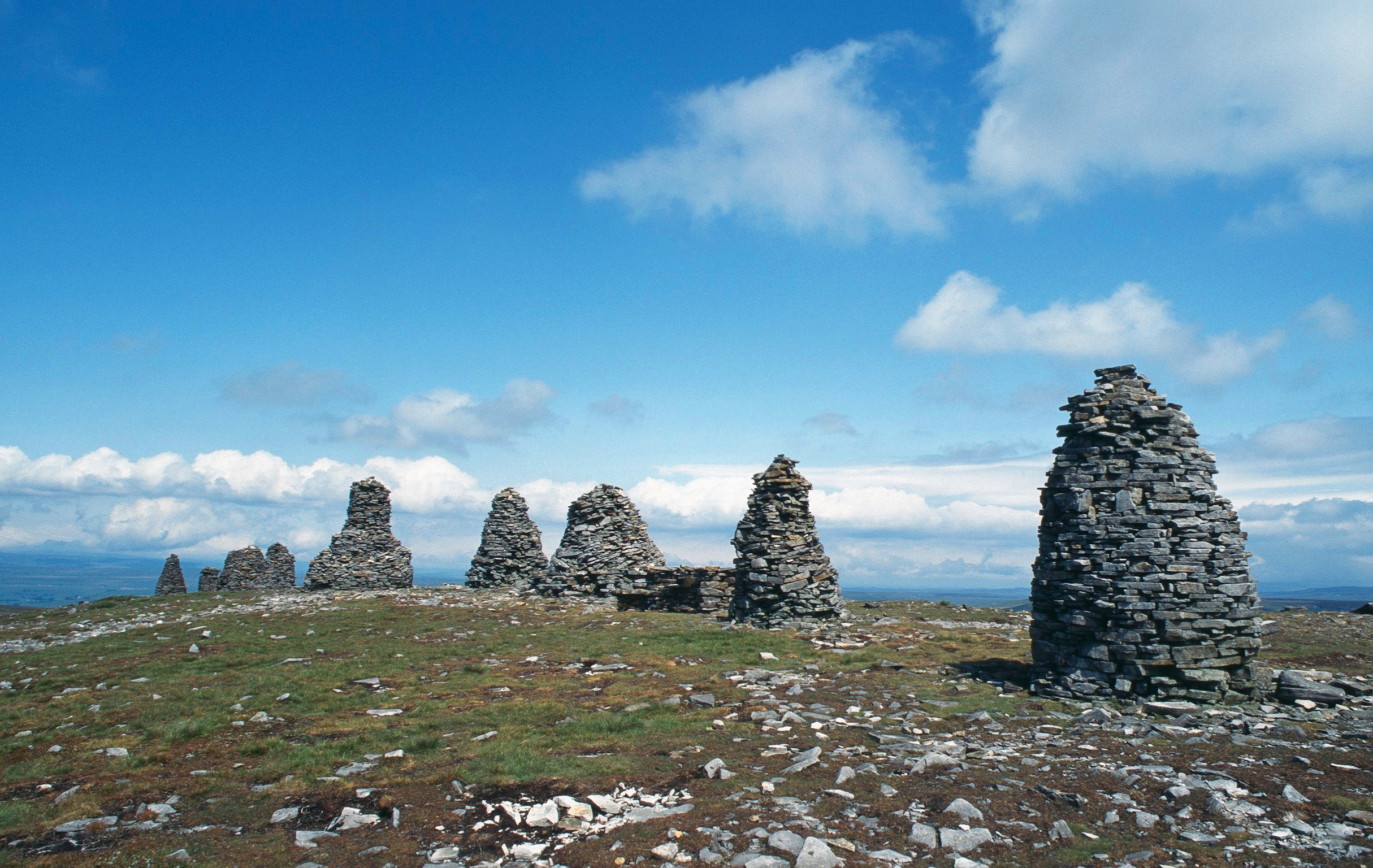
Nine Standards Rigg
Nine Standards Rigg is the summit of Hartley Fell in the Pennine Hills of England. It lies near the boundary between Cumbria and North Yorkshire, a few...
Nearby Amenities
Located within 500m of 54.491285,-2.2678236Have you been to Amersber Wood?
Leave your review of Amersber Wood below (or comments, questions and feedback).