Cliff Wood

Wood, Forest in Staffordshire Wyre Forest

England

Cliff Wood

Trees by Little Bank (Arley) My first photograph for 2024 was taken on a public footpath to Bank Farm. The mist in the distance disappeared a few minutes later.
Trees by Little Bank (Arley) Credit: Fabian Musto

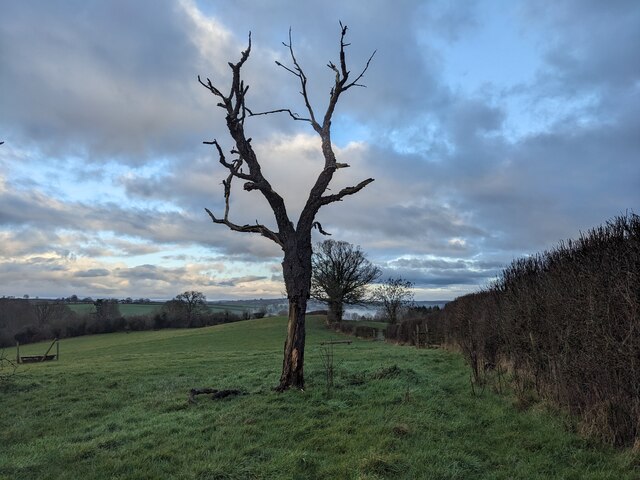
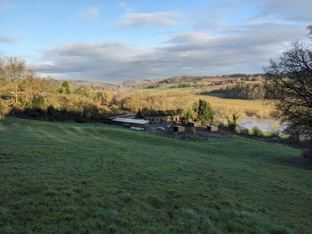
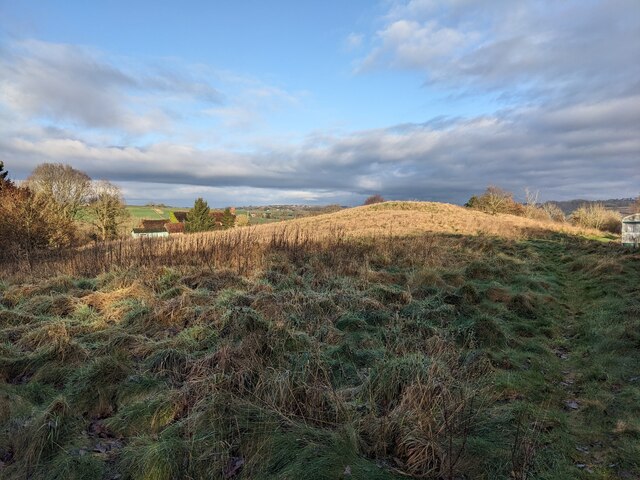
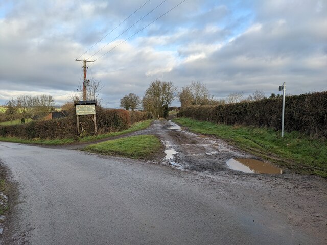
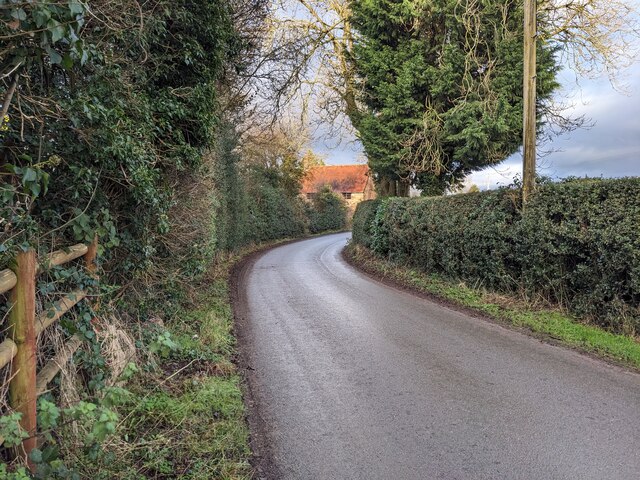
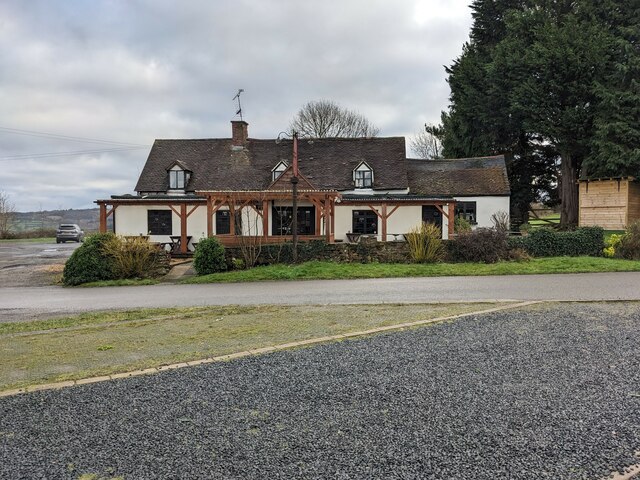
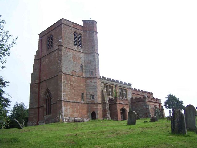
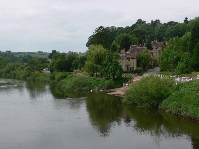
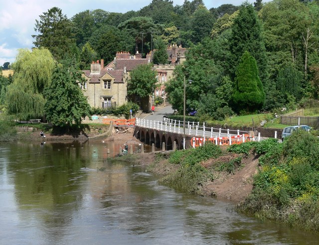
Cliff Wood is a small village located in Staffordshire, England. Nestled within the picturesque countryside, it is renowned for its dense woodland and serene atmosphere. The village is aptly named after the prominent cliffs that overlook the surrounding area, adding a touch of natural beauty to the landscape.

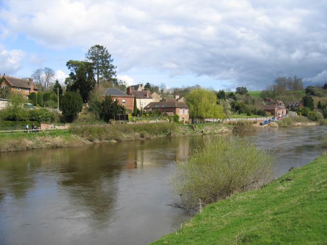
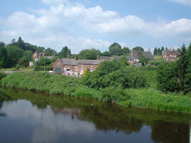
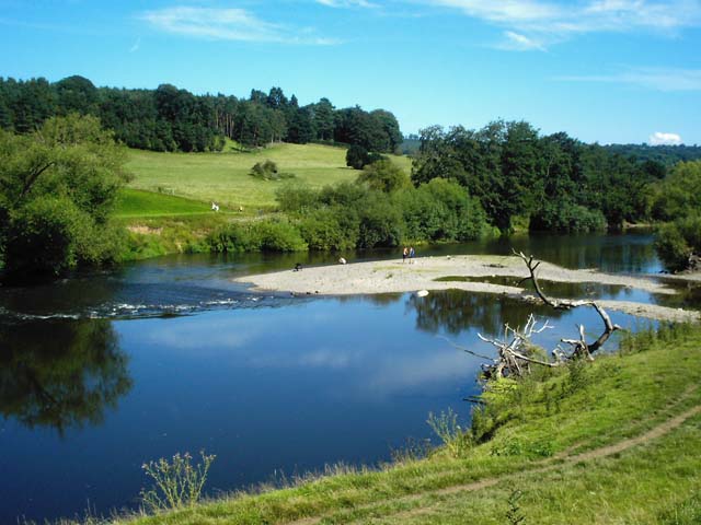
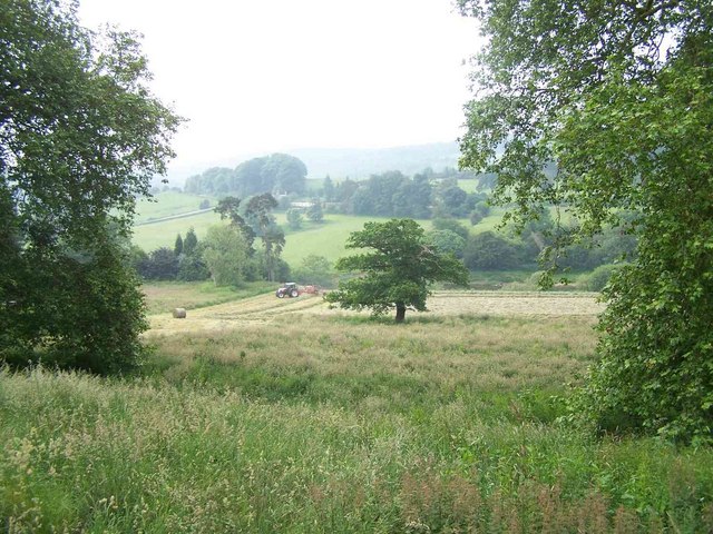
The lush forest in Cliff Wood is a haven for wildlife enthusiasts and nature lovers. It boasts a diverse range of flora and fauna, including ancient oak trees, vibrant wildflowers, and numerous species of birds and small mammals. Local residents and visitors often enjoy leisurely walks and hikes through the woodland, immersing themselves in the tranquility of nature.

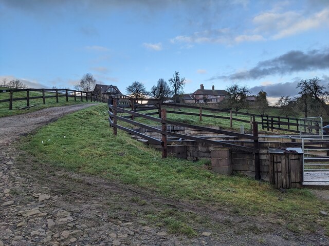
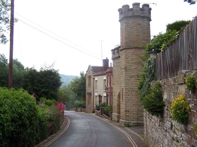
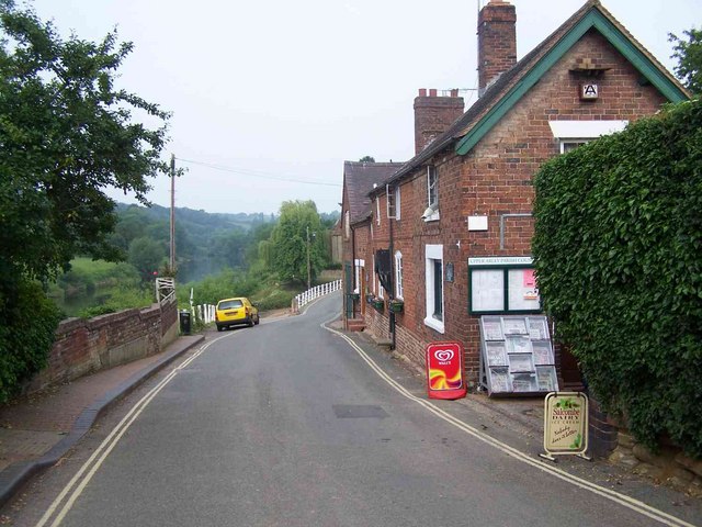
Despite its rural setting, Cliff Wood is well-connected to neighboring towns and cities. The village benefits from excellent transport links, with a well-maintained road network providing easy access to the nearby town of Stafford. This allows residents to enjoy the peace and quiet of village life while still being within reach of amenities and services.

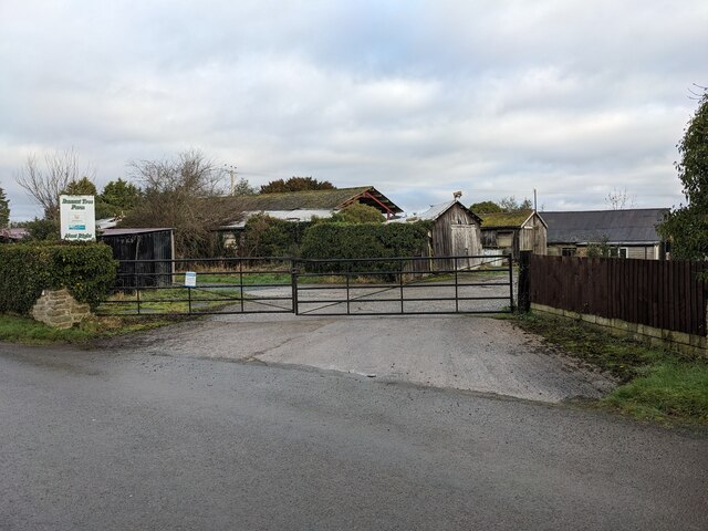
The community in Cliff Wood is close-knit and friendly, with a strong sense of community spirit. The village is home to a number of small businesses and local services, including a charming village pub and a convenience store. Regular community events and gatherings are held throughout the year, fostering a sense of belonging among residents.

Overall, Cliff Wood offers a harmonious blend of natural beauty, rural charm, and convenient living. It is a destination that appeals to those seeking a peaceful retreat amidst the stunning Staffordshire countryside.

If you have any feedback on the listing, please let us know in the comments section below.

Cliff Wood Images

Images are sourced within 2km of 52.405668/-2.3509913 or Grid Reference SO7678. Thanks to Geograph Open Source API. All images are credited.

Trees by Little Bank (Arley) My first photograph for 2024 was taken on a public footpath to Bank Farm. The mist in the distance disappeared a few minutes later.
Trees by Little Bank (Arley)
My first photograph for 2024 was taken on a public footpath to Bank Farm. The mist in the distance disappeared a few minutes later.
Bank Farm (Arley) This photo was taken on a public footpath that is adjacent to the Severn Valley Railway.
Bank Farm (Arley)
This photo was taken on a public footpath that is adjacent to the Severn Valley Railway.
Bank Farm (Arley) Taken on a public footpath that I took to see the Severn Valley Railway, which is visible to the right side of this photo, along with the flooded River Severn.
Bank Farm (Arley)
Taken on a public footpath that I took to see the Severn Valley Railway, which is visible to the right side of this photo, along with the flooded River Severn.
Field by Hungry Hill Cottage (Arley) Taken on a public footpath from Ye Olde New Inn to Bank Farm.
Field by Hungry Hill Cottage (Arley)
Taken on a public footpath from Ye Olde New Inn to Bank Farm.
Lanes at Arley The farm track in the centre provides access to two public footpaths, one of which heads east to Arley railway station on the Severn Valley line. The sign to Bank Farm Holiday Park refers to the country lane that heads west of the photo.
Lanes at Arley
The farm track in the centre provides access to two public footpaths, one of which heads east to Arley railway station on the Severn Valley line. The sign to Bank Farm Holiday Park refers to the country lane that heads west of the photo.
Old car in Arley My brother Dylan pointed this out as we were heading back from our walk, and this looks like an old vehicle from the turn of the nineteenth century.
Old car in Arley
My brother Dylan pointed this out as we were heading back from our walk, and this looks like an old vehicle from the turn of the nineteenth century.
Lane at Arley Taken on a public footpath from Ye Olde New Inn to Bank Farm.
Lane at Arley
Taken on a public footpath from Ye Olde New Inn to Bank Farm.
Bannut Tree Farm (Arley)
Ye Olde New Inn (Pound Green) Here is the Ye Olde New Inn southwest of Arley, and this pub is opposite the community hall for Pound Green and Button Oak. The building here is possibly a few centuries old, although it does not have listed status as of January 2024 (a website called What Pub states the interior houses ship's beams from 1645).
Ye Olde New Inn (Pound Green)
Here is the Ye Olde New Inn southwest of Arley, and this pub is opposite the community hall for Pound Green and Button Oak. The building here is possibly a few centuries old, although it does not have listed status as of January 2024 (a website called What Pub states the interior houses ship's beams from 1645).
Upper Arley village and the river Severn Seen across the River Severn. The ramp on the far bank was the slipway to the former ferry, now replaced by a footbridge just out of shot to the right.
Upper Arley village and the river Severn
Seen across the River Severn. The ramp on the far bank was the slipway to the former ferry, now replaced by a footbridge just out of shot to the right.
Upper Arley Taken from the bridge over the river Severn
Upper Arley
Taken from the bridge over the river Severn
Sand bank A natural lump in a shallow stretch.
Sand bank
A natural lump in a shallow stretch.
St. Peter, Upper Arley
Upper Arley
Upper Arley
Severn Valley Near Upper Arley
Village Store, Upper Arley
Upper Arley and River Severn The view from the footbridge, with the slipway from the former ferry.
Upper Arley and River Severn
The view from the footbridge, with the slipway from the former ferry.
Upper Arley Flood damage from the River Severn is visible next to the road. Viewed from the footbridge across the river.
Upper Arley
Flood damage from the River Severn is visible next to the road. Viewed from the footbridge across the river.
Show me another place!

Cliff Wood is located at Grid Ref: SO7678 (Lat: 52.405668, Lng: -2.3509913)

Administrative County: Worcestershire

District: Wyre Forest

Police Authority: West Mercia

What 3 Words

///pioneered.reckoned.present. Near Bewdley, Worcestershire

Related Wikis

Pound Green

Pound Green is a hamlet in Upper Arley, Worcestershire, England. It has a number of tourist landmarks such as Ye Olde New Inn and a village hall that also...

Victoria Bridge, Worcestershire

The Victoria Bridge crosses the River Severn between Arley and Bewdley in Worcestershire, England. At the time of its construction, the 200-foot railway...

Button Oak

Button Oak is a small village in the English county of Shropshire, England. It is 3 miles north west of Bewdley. Button Oak is very similar to nearby...

Arley railway station

Arley railway station is a station on the Severn Valley Railway heritage line in Worcestershire, situated just over the River Severn from the village of...

Shatterford Hill

Shatterford Hill is an English geographical feature that extends from Bewdley in north Worcestershire to Birdsgreen near Alveley, just over the border...

Upper Arley

Upper Arley (grid reference SO765805) is a village and civil parish near Kidderminster in the Wyre Forest District of Worcestershire, England. Historically...

Arley House and Gardens

Arley House and Gardens are situated at Upper Arley, about 4 miles (6.4 km) north-west of Bewdley, in Worcestershire, England. The gardens, arboretum and...

Northwood Halt railway station

Northwood Halt is an unstaffed request stop on the Severn Valley Railway in Worcestershire, situated a little to the north of Bewdley on the outskirts...

Nearby Amenities

Located within 500m of 52.405668,-2.3509913
Man Made: manhole
Manhole: water
Pipeline: inspection chamber
Lat/Long: 52.4011855/-2.3507455
Direction: 45
Tourism: viewpoint
Lat/Long: 52.4046562/-2.3467936
Name En: 2
Lat/Long: 52.408854/-2.354294
The data included in this document is from www.openstreetmap.org. The data is made available under ODbL.

Have you been to Cliff Wood?

Leave your review of Cliff Wood below (or comments, questions and feedback).