Foxhole Plantation

Wood, Forest in Somerset Mendip

England

Foxhole Plantation

Cockmill Lane
Cockmill Lane Credit: Roger Cornfoot

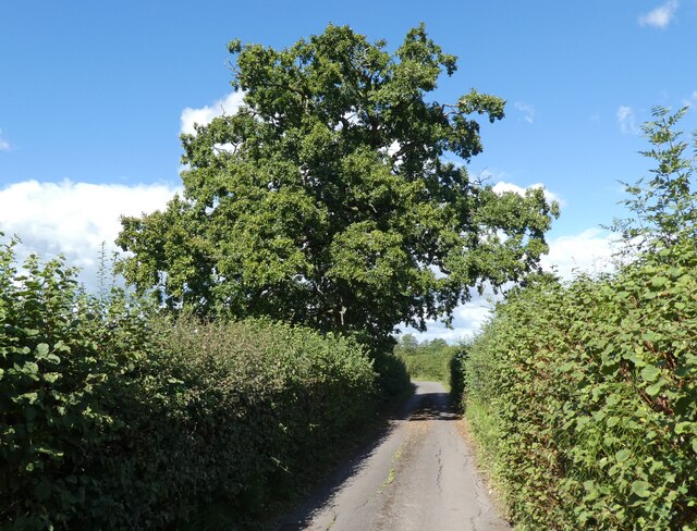
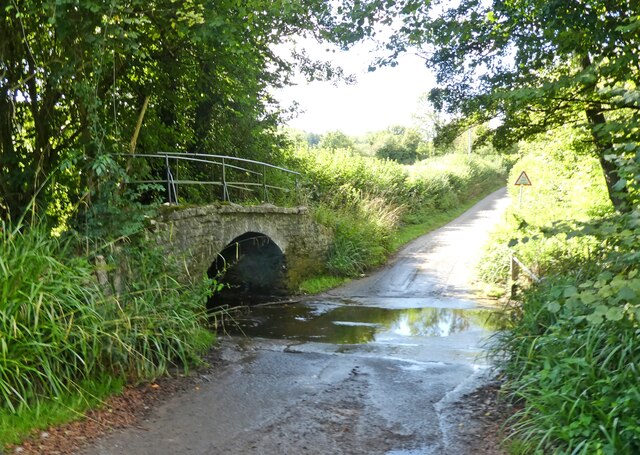
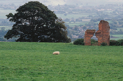
Foxhole Plantation is a picturesque woodland located in Somerset, England. Covering an area of approximately 100 acres, it is a lush and vibrant forest that offers a serene escape from the bustling city life. The plantation is situated in the heart of the county, nestled between rolling hills and meandering streams.

The woodland is predominantly composed of a diverse range of tree species, including oak, beech, ash, and birch. These towering trees create a dense canopy that provides shade and shelter for a variety of wildlife. Foxhole Plantation is home to a multitude of animals, such as deer, squirrels, rabbits, and a plethora of bird species. It is a haven for nature enthusiasts and birdwatchers, who can observe and appreciate the rich biodiversity thriving within the forest.

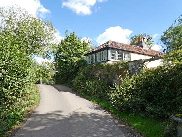
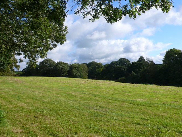
Visitors can explore the plantation through a network of well-maintained walking trails, allowing them to immerse themselves in the natural beauty of the surroundings. The paths wind through the woodland, leading to tranquil clearings and secluded spots, perfect for picnics or quiet contemplation. In spring, the forest comes alive with a vibrant display of wildflowers, adding bursts of color to the green landscape.

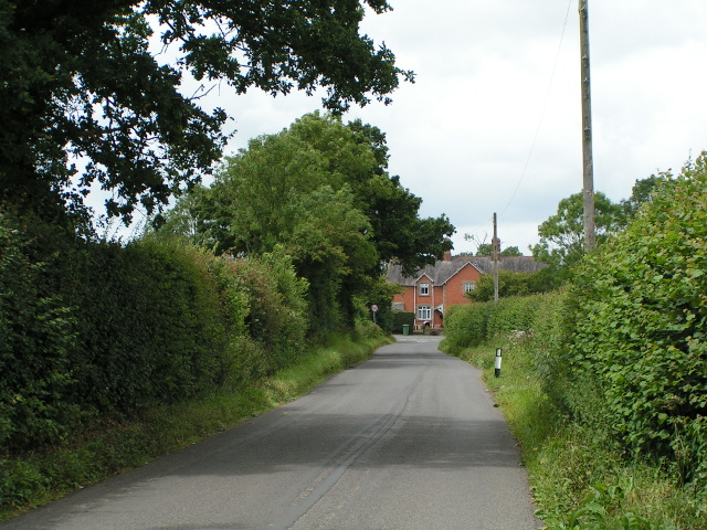
Foxhole Plantation is a popular destination for outdoor activities such as hiking, jogging, and nature photography. The plantation's management also organizes educational programs and guided tours, providing visitors with an opportunity to learn about the local ecology and conservation efforts. With its scenic beauty and abundant wildlife, Foxhole Plantation offers a peaceful retreat for those seeking solace in nature.

If you have any feedback on the listing, please let us know in the comments section below.

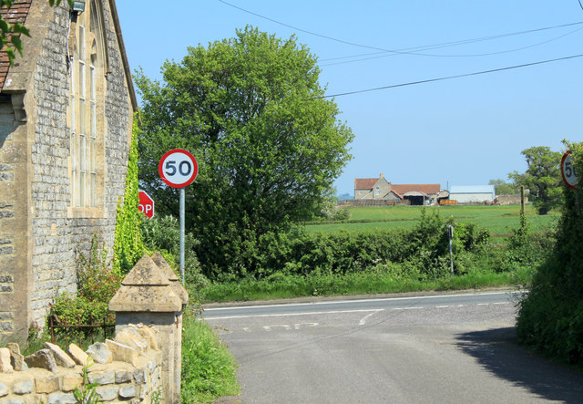
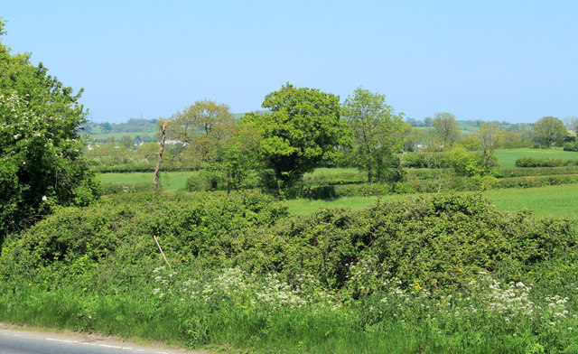
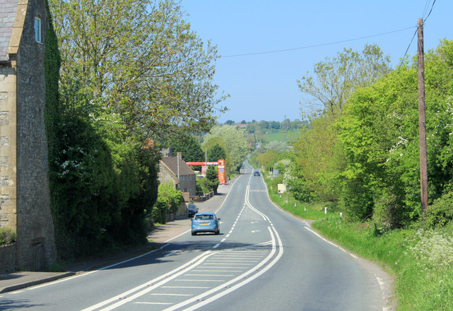
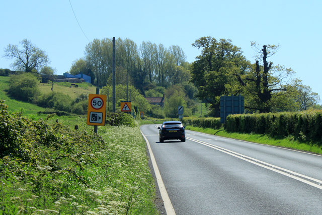
Foxhole Plantation Images

Images are sourced within 2km of 51.138272/-2.5541455 or Grid Reference ST6137. Thanks to Geograph Open Source API. All images are credited.

Cockmill Lane
Cockmill Lane
Former crossing keeper's cottage on the Evercreech Junction to Glastonbury railway Now part of Cockmill Cottage.
Former crossing keeper's cottage on the Evercreech Junction to Glastonbury railway
Now part of Cockmill Cottage.
Ford on Cockmill Lane Unfortunately, access to the lovely stone footbridge has not been maintained.
Ford on Cockmill Lane
Unfortunately, access to the lovely stone footbridge has not been maintained.
Looking towards the Fosse Way
The Manor House Inn Nice country pub with very good food and pleasant staff on my visit.
The Manor House Inn
Nice country pub with very good food and pleasant staff on my visit.
Old Brick Ruin (folly?) Photo taken across fields to a brick ruin on Ditcheat Hill.
Old Brick Ruin (folly?)
Photo taken across fields to a brick ruin on Ditcheat Hill.
Recently Mown Field A cut of hay or silage had recently been taken of this field just south of the road between Little Pennard and East Pennard between Anvil House and Batch Farm.
Recently Mown Field
A cut of hay or silage had recently been taken of this field just south of the road between Little Pennard and East Pennard between Anvil House and Batch Farm.
House near Wraxal Cross Roads. This house appeared to be a completely new house sitting just north of the road from Wraxall west to Hembridge.
House near Wraxal Cross Roads.
This house appeared to be a completely new house sitting just north of the road from Wraxall west to Hembridge.
2012 : East of south from Hedge Lane A footpath crosses the wheatfield, the stile gives a clue.
Looking over farmland to Easton Hill. 
Beyond the stile the A37 climbs the hill, just possible to see a cutting near the top.
2012 : East of south from Hedge Lane
A footpath crosses the wheatfield, the stile gives a clue. Looking over farmland to Easton Hill. Beyond the stile the A37 climbs the hill, just possible to see a cutting near the top.
2012 : West from the end of Hedge Lane Hedge Lane ends here but this is where it would go if it went further. 
The hill in the distance is one of the Mendips, so minor it does not rate a name on OS Explorer 142.
2012 : West from the end of Hedge Lane
Hedge Lane ends here but this is where it would go if it went further. The hill in the distance is one of the Mendips, so minor it does not rate a name on OS Explorer 142.
2012 : Looking east along Hedge Lane About to pass Hedge Farm on the left.
2012 : Looking east along Hedge Lane
About to pass Hedge Farm on the left.
2012 : West along Hedge Lane The end is in sight - almost, this side of the house at Lower Hedge.
About to pass the entrance to Hedge Farm.
2012 : West along Hedge Lane
The end is in sight - almost, this side of the house at Lower Hedge. About to pass the entrance to Hedge Farm.
2012 : Where Pylle Lane meets the A37 The building on the left is the village hall, once a chapel.
Lower Easton Farm is behind.
2012 : Where Pylle Lane meets the A37
The building on the left is the village hall, once a chapel. Lower Easton Farm is behind.
2012 : North east from the A37 Taken from the Village Hall car park at the end of Pylle Lane.
A glimpse or two of the Bath and West Showground can be seen through the trees. 
Maes Down is behind.
2012 : North east from the A37
Taken from the Village Hall car park at the end of Pylle Lane. A glimpse or two of the Bath and West Showground can be seen through the trees. Maes Down is behind.
2012 : A37 Fosse Way looking north toward Shepton Mallet Near the eastern end of Pylle Lane.
2012 : A37 Fosse Way looking north toward Shepton Mallet
Near the eastern end of Pylle Lane.
2012 : A37 near the end of Pylle Lane looking south The next place of any note is Ilchester. Apologies to Wraxall and Lydford on Fosse.
Hillcroft Farm is on the hillside straight ahead.
2012 : A37 near the end of Pylle Lane looking south
The next place of any note is Ilchester. Apologies to Wraxall and Lydford on Fosse. Hillcroft Farm is on the hillside straight ahead.
2012 : Cottages at Pylle As you leave Pylle heading east on Pylle Lane.
2012 : Cottages at Pylle
As you leave Pylle heading east on Pylle Lane.
2012 : Open barn at Pylle The bare essentials. The object in the foreground looks like a water or sewage pipe which has been adapted for the use of cattle.
2012 : Open barn at Pylle
The bare essentials. The object in the foreground looks like a water or sewage pipe which has been adapted for the use of cattle.
Show me another place!

Foxhole Plantation is located at Grid Ref: ST6137 (Lat: 51.138272, Lng: -2.5541455)

Administrative County: Somerset

District: Mendip

Police Authority: Avon and Somerset

What 3 Words

///scare.camped.neatly. Near Evercreech, Somerset

Related Wikis

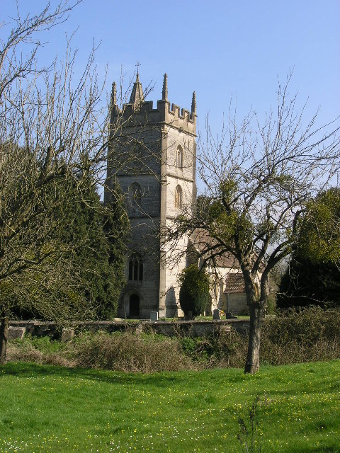
Church of St Thomas à Becket, Pylle

The Anglican Church of St Thomas à Becket in Pylle, Somerset, England, was built in the 15th century. It is a Grade II* listed building. == History... ==

Pylle

Pylle is a village and civil parish 4 miles (6.4 km) south west of Shepton Mallet, and 7 miles (11.3 km) from Wells, in the Mendip district of Somerset...

Pylle railway station

Pylle railway station was a station on the Highbridge branch of the Somerset and Dorset Joint Railway. Opened 3 February 1862 on the original S&DJR main...

East Pennard

East Pennard is a village and civil parish 4 miles (6.4 km) north west of Castle Cary, and 5 miles (8.0 km) south of Shepton Mallet, in the Mendip district...

Ditcheat

Ditcheat is a village and civil parish 4.5 miles (7 km) south of Shepton Mallet, and 2.5 miles (4 km) north-west of Castle Cary, in Somerset, England....
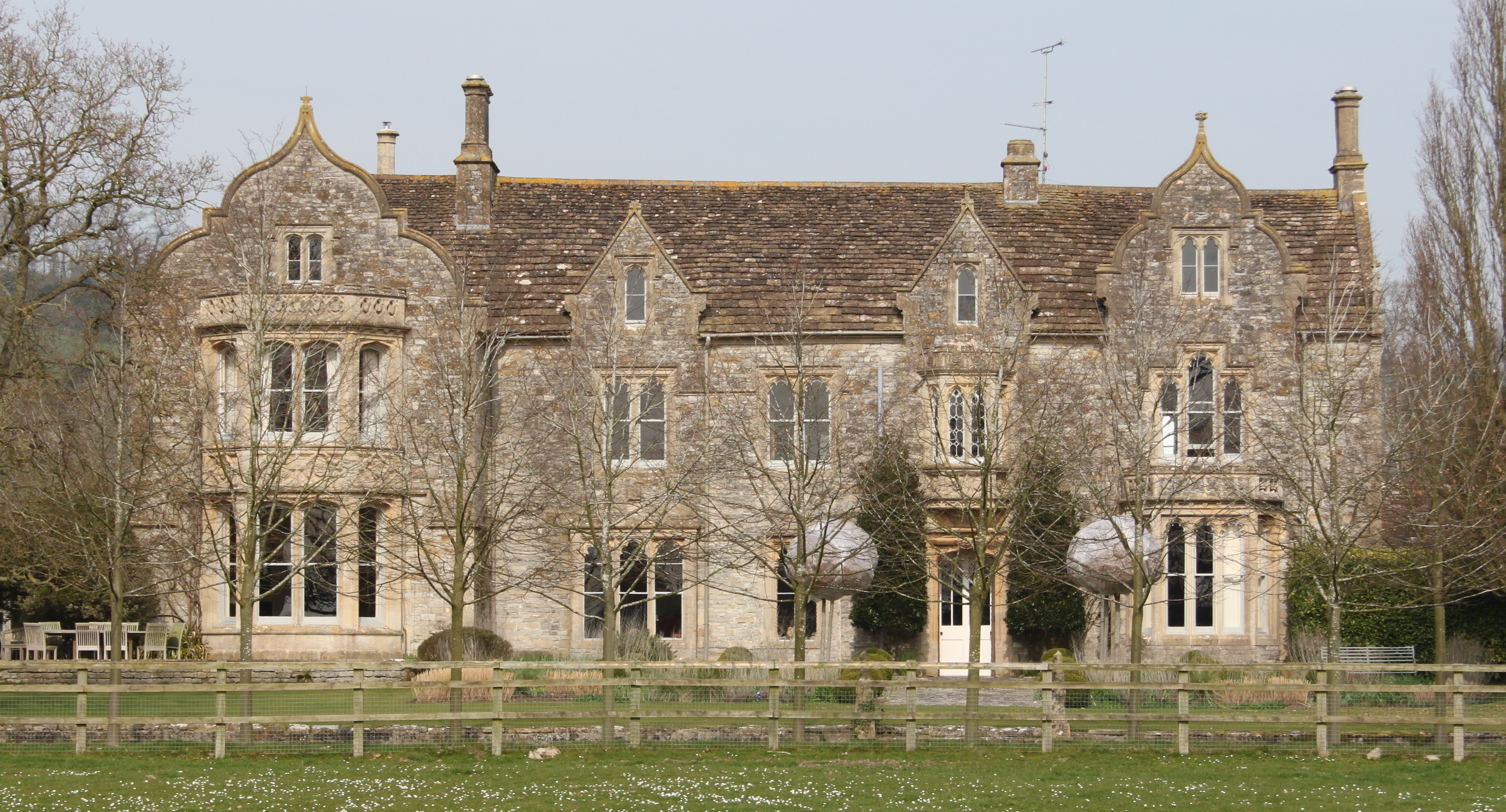
The Abbey, Ditcheat

The Abbey, Ditcheat (formerly known as The Priory) is a large house at Ditcheat in Somerset. Originally a rectory, now converted into a house, the Grade...

Glastonbury Festival

Glastonbury Festival (formally Glastonbury Festival of Contemporary Performing Arts and known colloquially as Glasto) is a five-day festival of contemporary...

Royal Bath and West of England Society

The Royal Bath and West of England Society is a charitable society founded in 1777 to promote and improve agriculture and related activities around the...

Nearby Amenities

Located within 500m of 51.138272,-2.5541455
The data included in this document is from www.openstreetmap.org. The data is made available under ODbL.

Have you been to Foxhole Plantation?

Leave your review of Foxhole Plantation below (or comments, questions and feedback).