Foxhole Gully

Valley in Somerset Mendip

England

Foxhole Gully

Former crossing keeper's cottage on the Evercreech Junction to Glastonbury railway Now part of Cockmill Cottage.
Former crossing keeper's cottage on the Evercreech Junction to Glastonbury railway Credit: Roger Cornfoot

Foxhole Gully, Somerset (Valley), is a picturesque natural landmark located in the county of Somerset, England. Nestled within the rural countryside, this enchanting valley boasts stunning views and a serene atmosphere that attracts both locals and tourists alike.

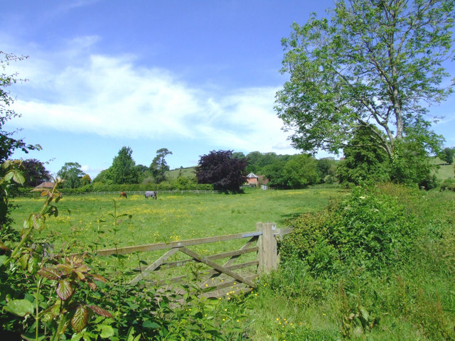
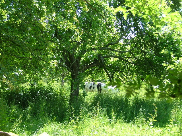
The gully is situated on the outskirts of the small village of Foxhole, which lends its name to this remarkable geographical formation. It is characterized by its steep, sloping sides and lush greenery that blankets the landscape. The valley floor is adorned with a meandering stream that adds to the area's charm.

Visitors to Foxhole Gully can enjoy a variety of outdoor activities, making it a popular destination for nature enthusiasts. Hiking and walking trails crisscross the valley, providing opportunities to explore its natural wonders and discover hidden treasures along the way. The surrounding woodlands offer a peaceful retreat, perfect for picnics or simply immersing oneself in the tranquility of the countryside.

Wildlife enthusiasts will also find Foxhole Gully an ideal spot for observing local fauna. The valley is home to a diverse range of plant and animal species, including rare birds, butterflies, and small mammals. Nature lovers can delight in spotting these creatures and capturing stunning photographs of the area's natural inhabitants.

Overall, Foxhole Gully, Somerset (Valley), is a captivating destination that combines untouched natural beauty with recreational opportunities. Whether it's a leisurely stroll through the valley or a more adventurous hike, visitors are guaranteed a memorable experience in this idyllic corner of Somerset.

If you have any feedback on the listing, please let us know in the comments section below.

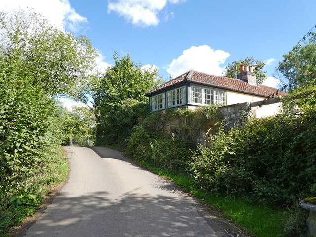
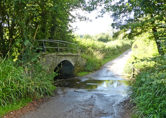
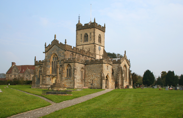
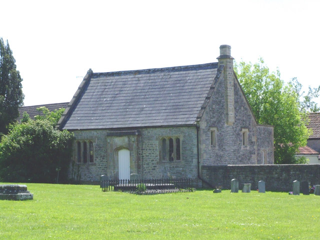
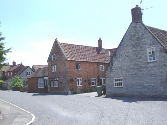
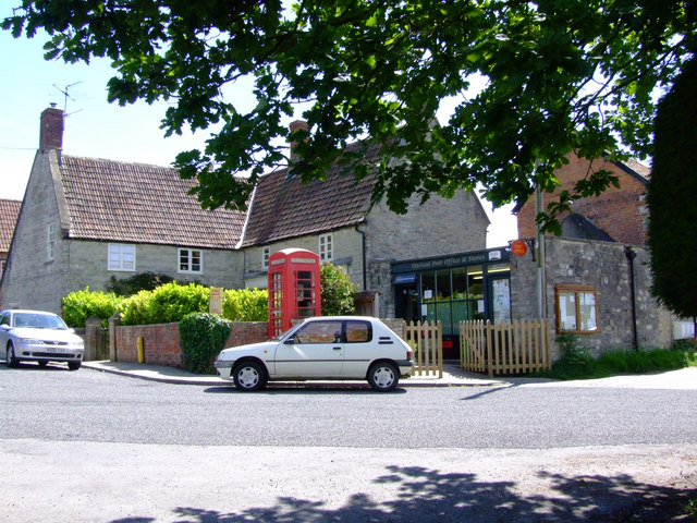
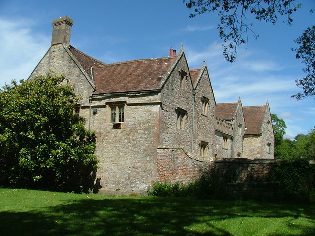
Foxhole Gully Images

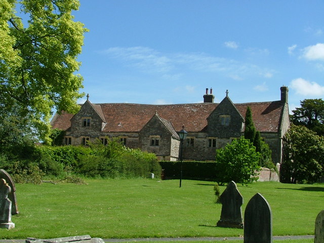
Images are sourced within 2km of 51.138073/-2.5524279 or Grid Reference ST6137. Thanks to Geograph Open Source API. All images are credited.

Former crossing keeper's cottage on the Evercreech Junction to Glastonbury railway Now part of Cockmill Cottage.
Former crossing keeper's cottage on the Evercreech Junction to Glastonbury railway
Now part of Cockmill Cottage.
Ford on Cockmill Lane Unfortunately, access to the lovely stone footbridge has not been maintained.
Ford on Cockmill Lane
Unfortunately, access to the lovely stone footbridge has not been maintained.
PYLLE, Somerset St Thomas a Becket church
PYLLE, Somerset
St Thomas a Becket church
From Wraxall Hill, looking roughly North-Westish Note the Mendip TV mast in the distance
From Wraxall Hill, looking roughly North-Westish
Note the Mendip TV mast in the distance
A37 almost at the top of Wraxall Hill
Ditcheat Church The church is dedicated to St Mary Magdalene.
Ditcheat Church
The church is dedicated to St Mary Magdalene.
Road between Ditcheat & Wraxall
Looking towards Ditcheat Hill
Church Hall, Ditcheat Not the Village Hall, but the Church Hall. photo taken from outside the churchyard and  opposite the Village Hall.
Church Hall, Ditcheat
Not the Village Hall, but the Church Hall. photo taken from outside the churchyard and opposite the Village Hall.
The Old Butcher's Shop - Ditcheat Now a family house, but it was a butcher's shop of note with one customer walking from Worminster, near Wells for the choice cuts.
The Old Butcher's Shop - Ditcheat
Now a family house, but it was a butcher's shop of note with one customer walking from Worminster, near Wells for the choice cuts.
Ditcheat Post Office A recent location, as it moved slightly to the right in recent years.
Ditcheat Post Office
A recent location, as it moved slightly to the right in recent years.
The Old Green Tree Public House Now a private house, this was once one of the village watering holes.
The Old Green Tree Public House
Now a private house, this was once one of the village watering holes.
The Manor House, Ditcheat View of the back of the Manor House, Ditcheat, with hexagonal brick building 
on perimeter wall. Ditcheat Hill in background.
The Manor House, Ditcheat
View of the back of the Manor House, Ditcheat, with hexagonal brick building on perimeter wall. Ditcheat Hill in background.
Manor House at Pylle A formal part of the garden of the Manor House, Pylle. There are 
other small areas of formality, but for the most part it is wonderfully
informal, with some unusual species.
Manor House at Pylle
A formal part of the garden of the Manor House, Pylle. There are other small areas of formality, but for the most part it is wonderfully informal, with some unusual species.
Ditcheat Manor House Rear view of the Manor House taken from the churchyard.
Ditcheat Manor House
Rear view of the Manor House taken from the churchyard.
Cows in cider orchard, Ditcheat One of several beautiful cider orchards in the village - a haven for wildlife
Cows in cider orchard, Ditcheat
One of several beautiful cider orchards in the village - a haven for wildlife
Ditcheat Manor House This beautiful approximately C16th manor, formerly a retirement home, now a private residence, has been taken from the churchyard.
Ditcheat Manor House
This beautiful approximately C16th manor, formerly a retirement home, now a private residence, has been taken from the churchyard.
Lower Easton Farm, Pylle
Show me another place!

Foxhole Gully is located at Grid Ref: ST6137 (Lat: 51.138073, Lng: -2.5524279)

Administrative County: Somerset

District: Mendip

Police Authority: Avon and Somerset

What 3 Words

///racetrack.shipped.risen. Near Evercreech, Somerset

Related Wikis

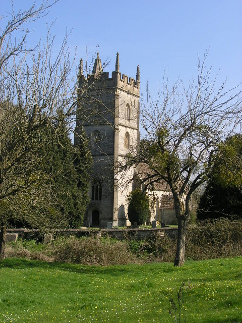
Church of St Thomas à Becket, Pylle

The Anglican Church of St Thomas à Becket in Pylle, Somerset, England, was built in the 15th century. It is a Grade II* listed building. == History... ==

Pylle

Pylle is a village and civil parish 4 miles (6.4 km) south west of Shepton Mallet, and 7 miles (11.3 km) from Wells, in the Mendip district of Somerset...

Pylle railway station

Pylle railway station was a station on the Highbridge branch of the Somerset and Dorset Joint Railway. Opened 3 February 1862 on the original S&DJR main...

East Pennard

East Pennard is a village and civil parish 4 miles (6.4 km) north west of Castle Cary, and 5 miles (8.0 km) south of Shepton Mallet, in the Mendip district...

Nearby Amenities

Located within 500m of 51.138073,-2.5524279
Note: National speed limit sign southbound
Traffic Sign Backward: GB:671
Lat/Long: 51.1418737/-2.5489219
The data included in this document is from www.openstreetmap.org. The data is made available under ODbL.

Have you been to Foxhole Gully?

Leave your review of Foxhole Gully below (or comments, questions and feedback).