Aston Coppice
Wood, Forest in Shropshire
England
Aston Coppice
Aston Coppice is a picturesque wood located in the county of Shropshire, England. Covering an area of approximately 50 acres, it is renowned for its natural beauty and diverse flora and fauna. The wood is situated in the village of Aston, near the town of Shifnal.
Aston Coppice is primarily made up of deciduous trees, including oak, ash, and beech, which create a stunning canopy of foliage during the summer months. The forest floor is carpeted with a variety of wildflowers, adding vibrant colors to the landscape. The wood is also home to a number of rare and protected species, such as the lesser spotted woodpecker and the dormouse.
Visitors to Aston Coppice can enjoy a range of recreational activities. There are several walking trails that wind through the wood, allowing visitors to explore its beauty at their own pace. These paths are well-maintained and suitable for all ages and abilities. Additionally, the wood offers excellent opportunities for birdwatching and wildlife spotting.
Aston Coppice has a rich history, dating back centuries. The wood has been carefully managed and preserved by local authorities and conservation organizations. It has served as a valuable resource for timber and other woodland products throughout the years.
Overall, Aston Coppice is a haven for nature lovers and outdoor enthusiasts alike. Its tranquil atmosphere, breathtaking scenery, and abundant wildlife make it a must-visit destination for anyone seeking a peaceful retreat in the heart of Shropshire.
If you have any feedback on the listing, please let us know in the comments section below.
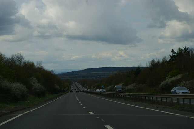
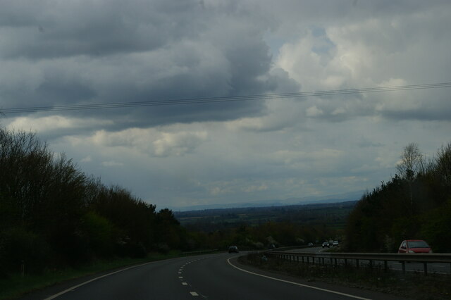
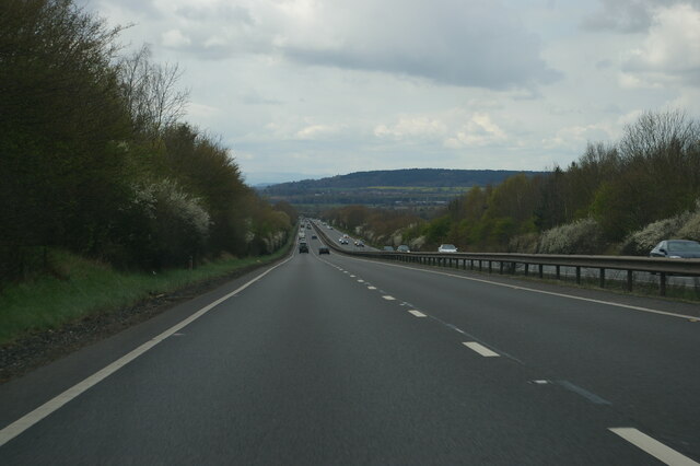
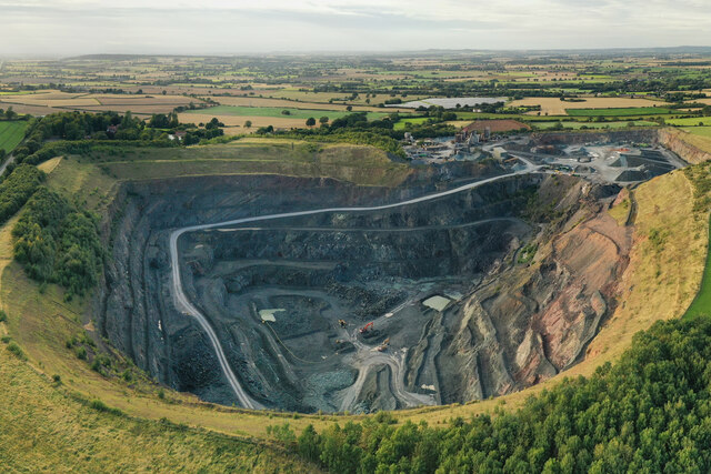
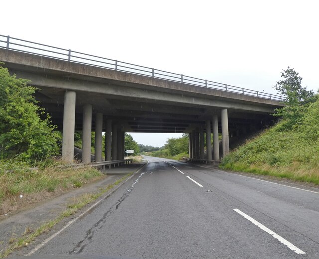
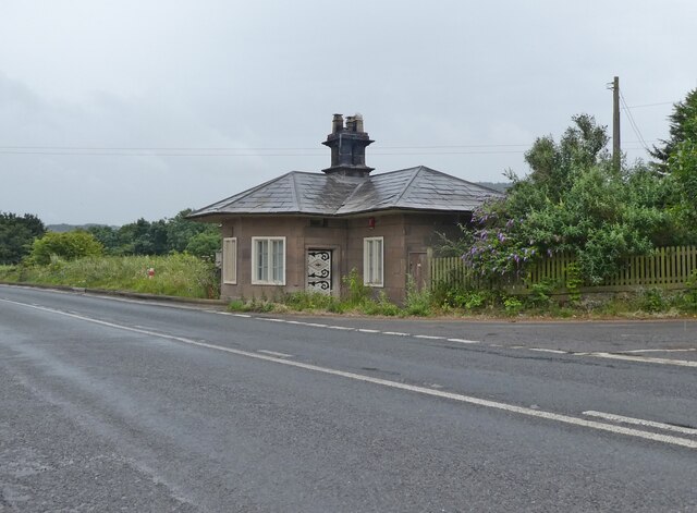
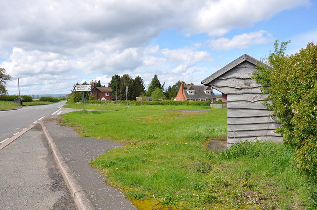
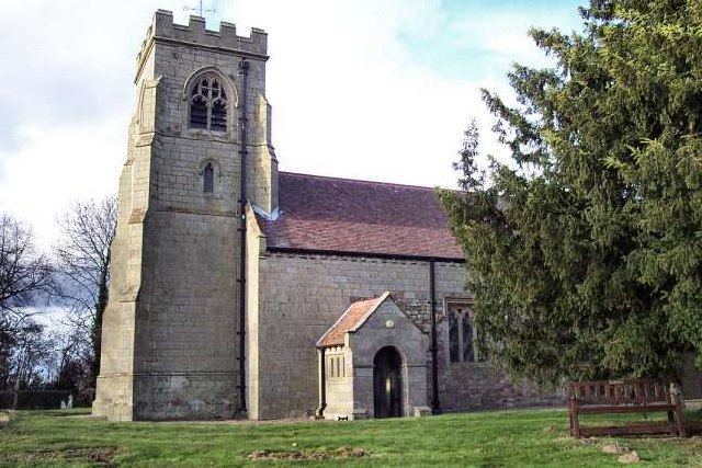
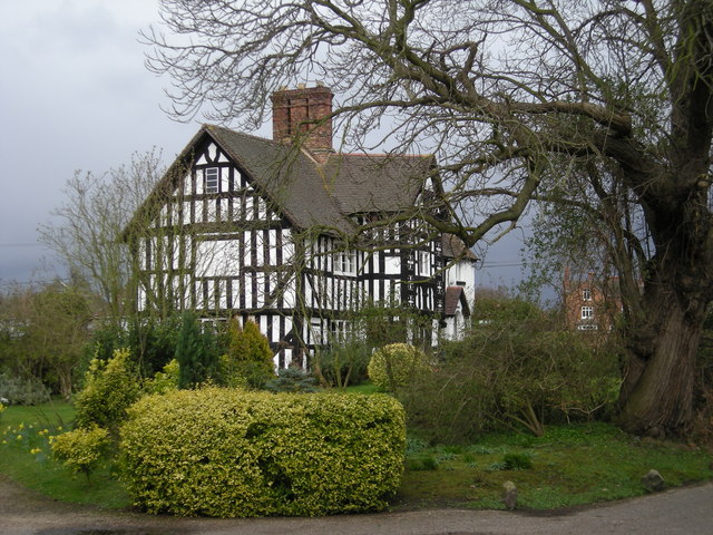
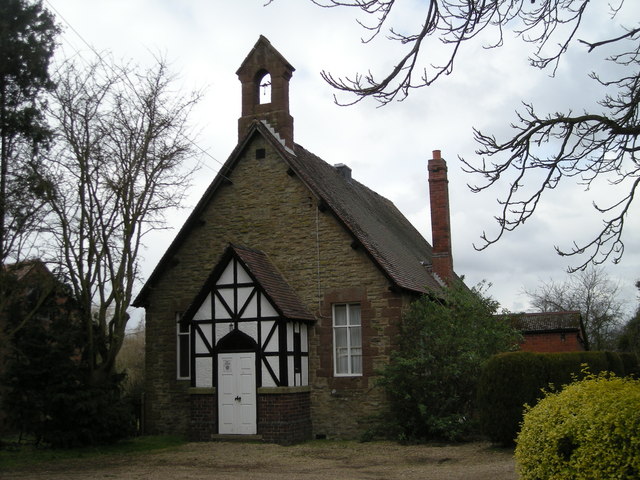
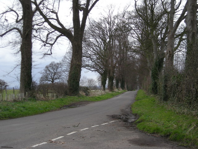
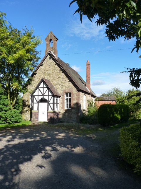
Aston Coppice Images
Images are sourced within 2km of 52.678047/-2.5738202 or Grid Reference SJ6109. Thanks to Geograph Open Source API. All images are credited.
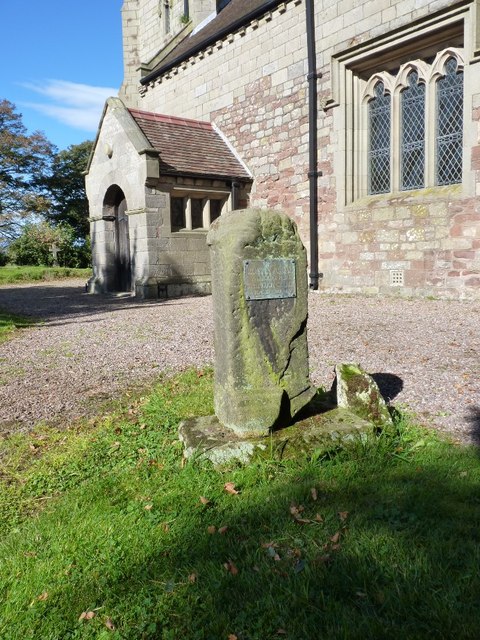
![OS bench mark on Uppington Church Ordnance Survey bench mark with bolt on the east corner of the south porch of Uppington Church. This bench mark was established during the First primary levelling of England &amp; Wales (1840-1860), and was levelled with a height of 349.7740 feet [106.6111 metres] above mean sea level (Liverpool datum). It was included as a side level on the Llandysilio to Stafford levelling line. The surveyor&#039;s description was &quot;No. 49(a). Uppington Church. Bolt in porch, at South entrance ; 1.64 ft. above surface.&quot; (p587)](https://s1.geograph.org.uk/geophotos/03/96/83/3968353_43407bca.jpg)


Aston Coppice is located at Grid Ref: SJ6109 (Lat: 52.678047, Lng: -2.5738202)
Unitary Authority: Shropshire
Police Authority: West Mercia
What 3 Words
///piglet.recruiter.haggis. Near Wellington, Shropshire
Nearby Locations
Related Wikis

Aston, Telford and Wrekin
Aston is a hamlet in Wrockwardine civil parish, Shropshire, England. == External links == Media related to Aston at Wikimedia Commons

Uppington
Uppington is a village and former civil parish, now in the parish of Wroxeter and Uppington, in the Shropshire district, in the ceremonial county of Shropshire...

Wrekin Terrane
The Wrekin Terrane is one of five inferred fault bounded terranes that make up the basement rocks of the southern United Kingdom. The other notable geological...
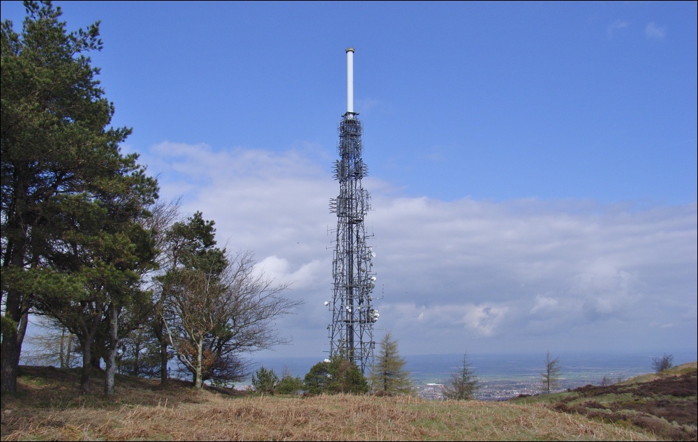
The Wrekin transmitting station
The Wrekin transmitting station is a telecommunications and broadcasting facility on The Wrekin, a hill in the county of Shropshire, England. It includes...

The Wrekin
The Wrekin ( REE-kin) is a hill in east Shropshire, England. It is located some five miles (8 km) west of Telford, on the border between the unitary authorities...

Nash, Telford and Wrekin
Nash was a village in Shropshire, England which is believed to have been wiped out entirely by the Black Death of c.1349. It now no longer exists and is...
Charlton Castle
Charlton Castle was a fortified manor house situated in Shropshire between Shrewsbury and Telford (grid reference SJ597112). Sir John Charlton was licensed...

Wrockwardine
Wrockwardine ( ROCK-war-dyne) is a village and civil parish in the borough of Telford and Wrekin and ceremonial county of Shropshire, England. It lies...
Nearby Amenities
Located within 500m of 52.678047,-2.5738202Have you been to Aston Coppice?
Leave your review of Aston Coppice below (or comments, questions and feedback).