Blackbank Wood
Wood, Forest in Cumberland Carlisle
England
Blackbank Wood

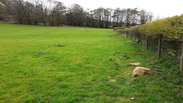
Blackbank Wood is a picturesque forest located in the county of Cumberland, in northwest England. Spanning over an area of approximately 100 acres, this enchanting woodland is known for its breathtaking beauty and diverse ecosystem. The wood is situated near the small village of Blackbank, adding to its charm and accessibility.
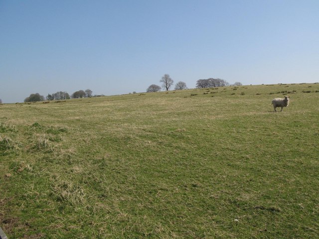
One of the notable features of Blackbank Wood is its dense canopy of tall, majestic trees, predominantly consisting of oak, beech, and ash. These towering trees provide a haven for a wide variety of bird species, making it a popular spot for birdwatchers and nature enthusiasts. The forest floor is carpeted with a rich layer of mosses, ferns, and wildflowers, adding to the allure of the woodland.
The wood is crisscrossed with a network of winding trails, allowing visitors to explore its natural wonders at their own pace. These paths lead to hidden clearings and secluded spots, perfect for picnics or moments of solitude. The tranquil atmosphere and the soothing sounds of birdsong make Blackbank Wood an ideal retreat for those seeking peace and tranquility.
Aside from its natural beauty, Blackbank Wood is also home to a diverse range of wildlife. Red squirrels, badgers, and roe deer can often be spotted in the undergrowth, adding a touch of wilderness to the woodland experience. The forest is managed by local conservation organizations, ensuring the preservation of its natural habitat and promoting sustainable practices.
Overall, Blackbank Wood is a true gem of Cumberland, offering visitors a chance to immerse themselves in the beauty of nature and discover the wonders of this enchanting woodland.
If you have any feedback on the listing, please let us know in the comments section below.
Blackbank Wood Images
Images are sourced within 2km of 54.986764/-2.6064604 or Grid Reference NY6165. Thanks to Geograph Open Source API. All images are credited.


Blackbank Wood is located at Grid Ref: NY6165 (Lat: 54.986764, Lng: -2.6064604)
Administrative County: Cumbria
District: Carlisle
Police Authority: Cumbria
What 3 Words
///crib.hairstyle.ordinary. Near Greenhead, Northumberland
Nearby Locations
Related Wikis

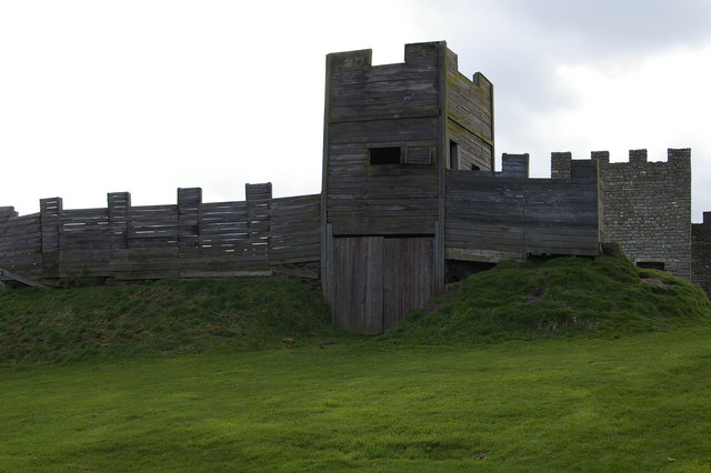
Birdoswald
Birdoswald is a former farm in the civil parish of Waterhead in the English county of Cumberland. It stands on the site of the Roman fort of Banna. �...

Banna (Birdoswald)
Birdoswald Roman Fort was known as Banna ("peak, horn" in Celtic) in Roman times, reflecting the geography of the site on a triangular spur of land bounded...
Milecastle 50TW
Milecastle 50TW (High House) was a milecastle on the Turf Wall section of Hadrian's Wall (grid reference NY60716583). The milecastle is located close...
Milecastle 50
Milecastle 50 (High House) was a milecastle on Hadrian's Wall (grid reference NY60676601). == Description == Milecastle 50 is west of Birdoswald fort....

Upper Denton
Upper Denton is a small village and civil parish in the north of Cumbria, England, about 1 km north of the A69 road linking Haltwhistle and Brampton. The...

Limes (Roman Empire)
Līmes (Latin; SG, pl.: līmitēs) is a modern term used primarily for the Germanic border defence or delimiting system of Ancient Rome marking the borders...

Milecastle 49
Milecastle 49 (Harrows Scar) was a milecastle on Hadrian's Wall (grid reference NY6202866407). == Description == Milecastle 49 is immediately west of the...

Waterhead, Carlisle
Waterhead is a civil parish in Carlisle district, Cumbria, England. At the 2011 census it had a population of 130.The east and south boundaries of the...
Nearby Amenities
Located within 500m of 54.986764,-2.6064604Have you been to Blackbank Wood?
Leave your review of Blackbank Wood below (or comments, questions and feedback).