Broad Length Plantation
Wood, Forest in Westmorland Eden
England
Broad Length Plantation
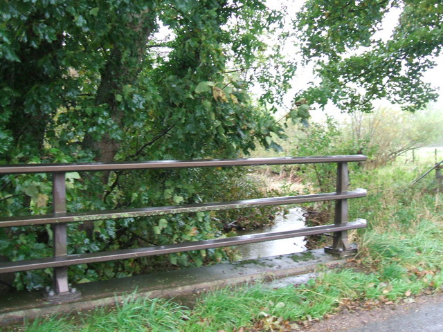
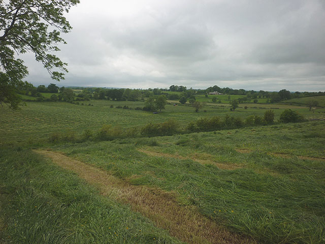
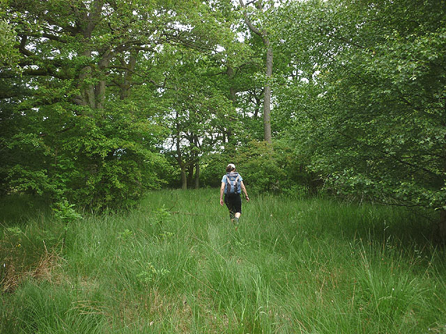
Broad Length Plantation, located in Westmorland, is a picturesque woodland area known for its lush greenery and diverse range of plant and animal species. Covering an area of approximately 100 acres, this plantation is a haven for nature enthusiasts and those seeking solace in the midst of nature.
The plantation primarily consists of broad-leaved trees, such as oak, beech, ash, and birch, which contribute to its name. These trees create a dense canopy, providing shade and shelter to various wildlife species. The forest floor is adorned with an array of wildflowers, ferns, and mosses, adding to the beauty and biodiversity of the area.
Walking through the plantation, visitors can immerse themselves in the tranquil ambiance and enjoy the soothing sounds of birds chirping and leaves rustling in the wind. The cool, fresh air coupled with the scent of damp earth creates a refreshing atmosphere, making it an ideal location for leisurely walks, picnics, and photography.
The plantation also serves as a habitat for a wide range of animals, including deer, foxes, rabbits, and numerous bird species. Birdwatchers can spot woodpeckers, jays, thrushes, and various other avian species darting between the trees. Additionally, the plantation is home to a diverse population of insects, butterflies, and small mammals, contributing to the overall ecological balance of the area.
Broad Length Plantation is managed by local authorities and offers well-maintained paths and picnic areas for visitors to enjoy. It provides a unique opportunity to connect with nature and offers a peaceful retreat from the hustle and bustle of everyday life.
If you have any feedback on the listing, please let us know in the comments section below.
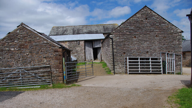
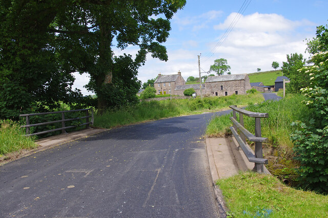
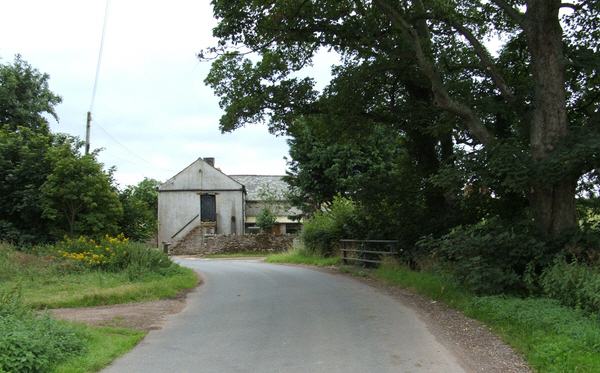
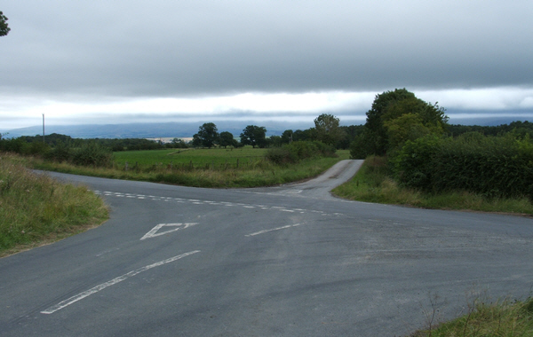
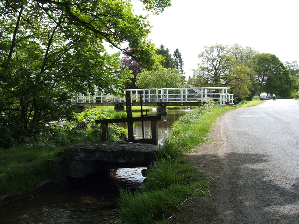
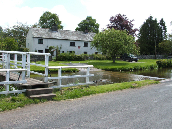
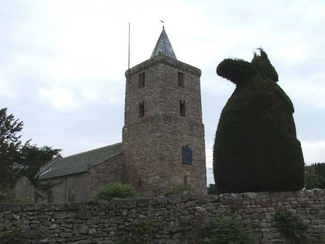
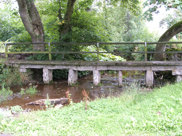
Broad Length Plantation Images
Images are sourced within 2km of 54.585147/-2.6019321 or Grid Reference NY6121. Thanks to Geograph Open Source API. All images are credited.


Broad Length Plantation is located at Grid Ref: NY6121 (Lat: 54.585147, Lng: -2.6019321)
Administrative County: Cumbria
District: Eden
Police Authority: Cumbria
What 3 Words
///ruler.truckload.conquest. Near Appleby-in-Westmorland, Cumbria
Nearby Locations
Related Wikis

King's Meaburn
King's Meaburn (English: ) is a small village and civil parish in Cumbria, England. It is located 5 miles (8.0 km) from Appleby-in-Westmorland and 10 miles...
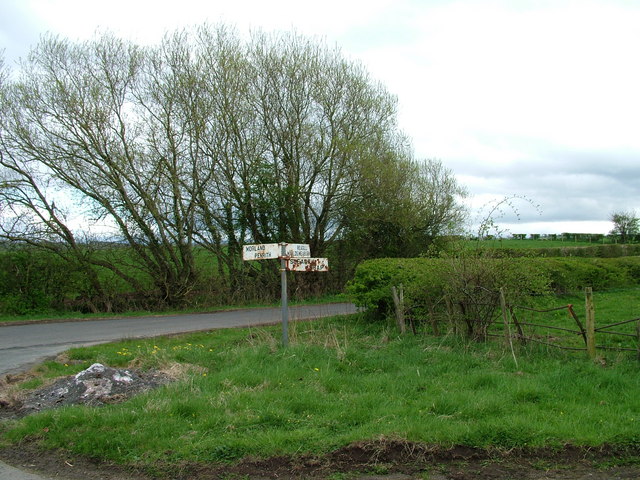
Morland, Cumbria
Morland is a village and civil parish in the rolling hills of the Eden Valley in the Eden District of Cumbria, England. It lies within the historic county...

Newby, Cumbria
Newby is a village and civil parish in the Eden district of the county of Cumbria, England. It is about 7 miles (11 km) from the large town of Penrith...

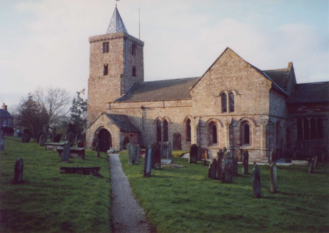
St Laurence's Church, Morland
St Laurence's Church is in the village of Morland, Cumbria, England. It is an active Anglican parish church in the deanery of Appleby, the archdeaconry...

Littlebeck, Cumbria
Littlebeck is a hamlet in the Eden District in the English county of Cumbria, located near the small village of King's Meaburn, the hamlet of Lankaber...

Sleagill
Sleagill is a small village and civil parish in the Eden district of Cumbria, England. At the 2011 census Sleagill was grouped with Newby giving a total...

Crossrigg Hall
Crossrigg Hall is a country house in the civil parish of Bolton, Cumbria in the northern United Kingdom. It was built in 1864 by Lieutenant Colonel Hugh...

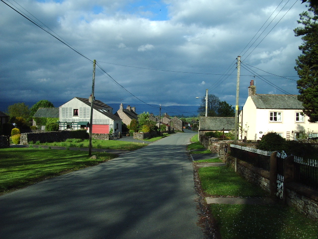
Bolton, Cumbria
Bolton is a village and civil parish in the Eden District of Cumbria, England, about 4 miles (6 km) north west of Appleby-in-Westmorland, and on the River...
Related Videos

Four fighter jets flying over Newby, Cumbria
Four fighter jets flying one after another over our house in Newby, Cumbria.
Nearby Amenities
Located within 500m of 54.585147,-2.6019321Have you been to Broad Length Plantation?
Leave your review of Broad Length Plantation below (or comments, questions and feedback).