Barnholme Wood

Wood, Forest in Westmorland Eden

England

Barnholme Wood

Barns at Llittlebeck
Barns at Llittlebeck Credit: Ian Taylor

Barnholme Wood is a captivating forest located in Westmorland, a historic county in the northwestern region of England. Covering a vast area of approximately 100 hectares, this woodland is renowned for its natural beauty and diverse range of flora and fauna.

The forest is characterized by its dense canopy of towering trees, predominantly consisting of oak, ash, and beech. These majestic giants provide a haven for a wide variety of wildlife, including deer, foxes, badgers, and a multitude of bird species. The woodland floor is adorned with a rich carpet of wildflowers and ferns, creating a picturesque scene throughout the year.

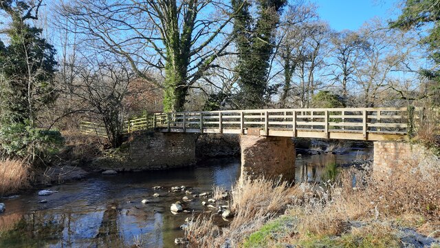
Barnholme Wood offers an enchanting escape for nature enthusiasts and outdoor lovers. It boasts numerous walking trails, allowing visitors to explore the forest's hidden treasures at their own pace. As they meander through the woodland, visitors can revel in the tranquility of the surroundings, while immersing themselves in the symphony of birdsong and the soothing rustle of leaves underfoot.

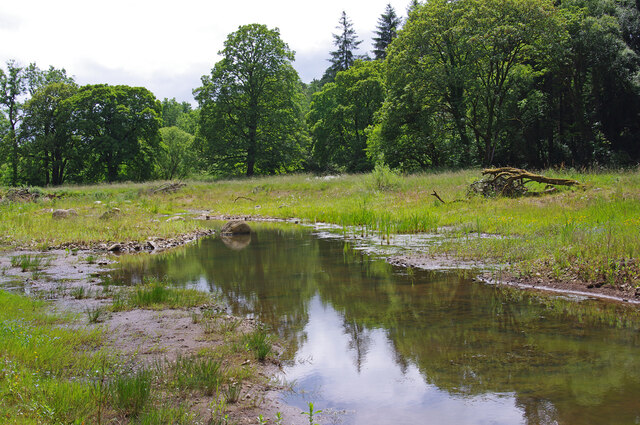
The forest is also home to a small lake, which serves as a habitat for various aquatic creatures and adds to the overall charm of the woodland. This serene setting is perfect for picnicking or simply unwinding amidst nature's embrace.

Barnholme Wood, with its captivating scenery and abundant wildlife, stands as a testament to the beauty and diversity of Westmorland's natural landscapes. It offers a respite from the bustling outside world, inviting visitors to reconnect with nature and experience the serenity of this idyllic woodland.

If you have any feedback on the listing, please let us know in the comments section below.

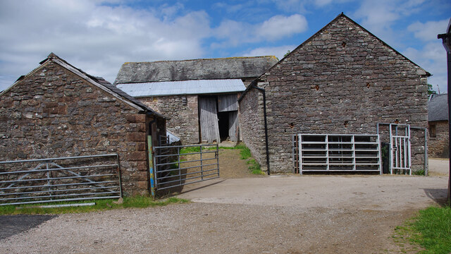
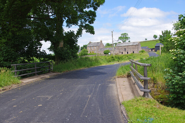
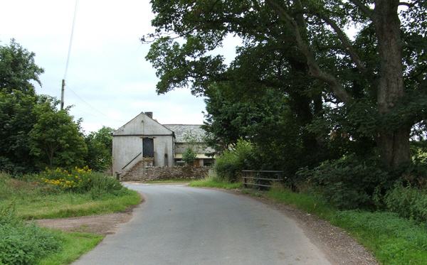
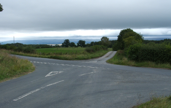
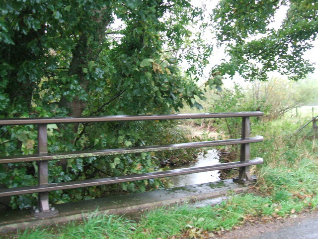
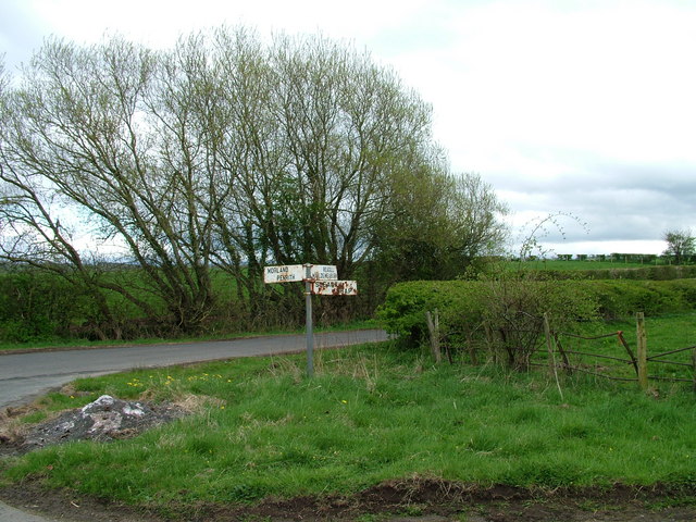
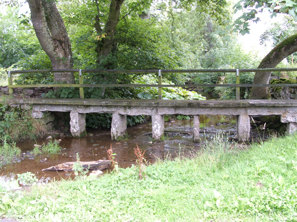
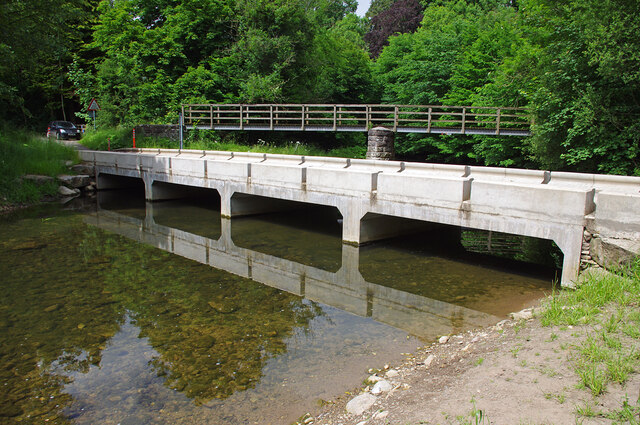
Barnholme Wood Images

Images are sourced within 2km of 54.586731/-2.5940483 or Grid Reference NY6121. Thanks to Geograph Open Source API. All images are credited.

Barns at Llittlebeck
Llittlebeck In the foreground is a bridge over Little Beck.
Llittlebeck
In the foreground is a bridge over Little Beck.
Littlebeck Farm between Maulds Meaburn and King's Meaburn.
Littlebeck
Farm between Maulds Meaburn and King's Meaburn.
Cross Roads Cross roads from Sleagill to Littlebeck. To the left Morland, to the right Maulds Meaburn.
Cross Roads
Cross roads from Sleagill to Littlebeck. To the left Morland, to the right Maulds Meaburn.
The bridge at Littlebeck A tributary of the Lyvennet.
The bridge at Littlebeck
A tributary of the Lyvennet.
Sign at crossroads
Sign at crossroads
Footbridge over Newby Beck Footbridge at Newby End.
Footbridge over Newby Beck
Footbridge at Newby End.
Jackdaws Scar Ford This new raised ford was completed in November 2021. Under low flow conditions, vehicles can cross the ford without disturbing the river-life. Also, vehicles can cross the ford safely with higher flows than before. The ford had been closed after being damaged by Storm Desmond in December 2015. See <a href="https://www.geograph.org.uk/photo/3601916">NY6121 : Ford and Footbridge over the River Lyvennet</a> (2013) & <a href="https://www.geograph.org.uk/photo/6216357">NY6121 : Dangerous ford!</a> (2019).
Jackdaws Scar Ford
This new raised ford was completed in November 2021. Under low flow conditions, vehicles can cross the ford without disturbing the river-life. Also, vehicles can cross the ford safely with higher flows than before. The ford had been closed after being damaged by Storm Desmond in December 2015. See NY6121 : Ford and Footbridge over the River Lyvennet (2013) & NY6121 : Dangerous ford! (2019).
Victorian post box, Kings Meaburn Mounted on the post office wall. See <a href="https://www.geograph.org.uk/photo/5298812">NY6221 : The White Horse, King's Meaburn</a>.
Victorian post box, Kings Meaburn
Mounted on the post office wall. See NY6221 : The White Horse, King's Meaburn.
River Lyvennet wetland scrape Presumably, this was created by the Eden Rivers Trust as part of their river restoration project. The river is just over the bank running across the photo.
River Lyvennet wetland scrape
Presumably, this was created by the Eden Rivers Trust as part of their river restoration project. The river is just over the bank running across the photo.
Bridge over the River Lyvennet
Permanent Coronation reminder! I thought the crown on top of the signpost had been installed specially for the Coronation of King Charles III the next day.  The crown however, has been here for some time! <a href="https://www.geograph.org.uk/photo/6096233">NY6220 : Old Direction Sign - Signpost by Littlebeck Lane, King's Meaburn</a>
Permanent Coronation reminder!
I thought the crown on top of the signpost had been installed specially for the Coronation of King Charles III the next day. The crown however, has been here for some time! NY6220 : Old Direction Sign - Signpost by Littlebeck Lane, King's Meaburn
Footbridge and Ford, Morland This is taken from the lane running south-eastwards from the village centre.
Footbridge and Ford, Morland
This is taken from the lane running south-eastwards from the village centre.
Jackdaws' Scar, King's Meaburn A limestone crag with a base of sandstone next to the River Lyvennet
Jackdaws' Scar, King's Meaburn
A limestone crag with a base of sandstone next to the River Lyvennet
Methodist Chapel at King's Meaburn
Road Junction The junction of Crossrigg Lane with the Bolton to Cliburn
Road Junction
The junction of Crossrigg Lane with the Bolton to Cliburn
Gate The track on the right services various fields to the east of the "C" Class road
Gate
The track on the right services various fields to the east of the "C" Class road
Gate The track leads to a barn which can just be seen behind the tree in the middle distance
Gate
The track leads to a barn which can just be seen behind the tree in the middle distance
Show me another place!

Barnholme Wood is located at Grid Ref: NY6121 (Lat: 54.586731, Lng: -2.5940483)

Administrative County: Cumbria

District: Eden

Police Authority: Cumbria

What 3 Words

///bags.rewarding.shackles. Near Appleby-in-Westmorland, Cumbria

Related Wikis

King's Meaburn

King's Meaburn (English: ) is a small village and civil parish in Cumbria, England. It is located 5 miles (8.0 km) from Appleby-in-Westmorland and 10 miles...

Littlebeck, Cumbria

Littlebeck is a hamlet in the Eden District in the English county of Cumbria, located near the small village of King's Meaburn, the hamlet of Lankaber...

Morland, Cumbria

Morland is a village and civil parish in the rolling hills of the Eden Valley in the Eden District of Cumbria, England. It lies within the historic county...

St Laurence's Church, Morland

St Laurence's Church is in the village of Morland, Cumbria, England. It is an active Anglican parish church in the deanery of Appleby, the archdeaconry...

Newby, Cumbria

Newby is a village and civil parish in the Eden district of the county of Cumbria, England. It is about 7 miles (11 km) from the large town of Penrith...

Bolton, Cumbria

Bolton is a village and civil parish in the Eden District of Cumbria, England, about 4 miles (6 km) north west of Appleby-in-Westmorland, and on the River...

Crossrigg Hall

Crossrigg Hall is a country house in the civil parish of Bolton, Cumbria in the northern United Kingdom. It was built in 1864 by Lieutenant Colonel Hugh...

All Saints Church, Bolton

All Saints Church is in the village of Bolton, Cumbria, England. It is an active Anglican parish church in the deanery of Appleby, the archdeaconry of...

Nearby Amenities

Located within 500m of 54.586731,-2.5940483
Kings Meaburn
Is In Country Code: GB
Is In County: Cumbria
Place: village
Source: NPE
Lat/Long: 54.5839665/-2.5888146
Post Box
Post Box Type: wall
Postal Code: CA10
Ref: CA10 1
Lat/Long: 54.584495/-2.5890372
Village Hall (N bound)
Local Ref: AT
Naptan AtcoCode: 090074331064
Naptan Bearing: N
Naptan BusStopType: CUS
Naptan CommonName: Village Hall (N bound)
Naptan Indicator: at
Naptan Landmark: Village Hall
Naptan NaptanCode: cumdamgm
Naptan Street: No name
Naptan Verified: no
Source: naptan_import
Lat/Long: 54.5841734/-2.5886789
Village Hall (S bound)
Naptan AtcoCode: 090074333399
Naptan Bearing: SE
Naptan BusStopType: CUS
Naptan CommonName: Village Hall (S bound)
Naptan Indicator: opp
Naptan Landmark: Village Hall
Naptan NaptanCode: cumdamgt
Naptan Street: No name
Naptan Verified: no
Source: naptan_import
Lat/Long: 54.5842152/-2.5885218
Ford: yes
Lat/Long: 54.5835448/-2.5918037
Direction: WSW
Generator Method: photovoltaic
Generator Output Electricity: yes
Generator Source: solar
Generator Type: solar_photovoltaic_panel
Location: roof
Power: generator
Lat/Long: 54.5852858/-2.588314
Direction: SSE
Generator Method: photovoltaic
Generator Output Electricity: yes
Generator Source: solar
Generator Type: solar_photovoltaic_panel
Location: roof
Power: generator
Lat/Long: 54.5854125/-2.5891213
Direction: SSE
Generator Method: photovoltaic
Generator Output Electricity: yes
Generator Source: solar
Generator Type: solar_photovoltaic_panel
Location: roof
Power: generator
Lat/Long: 54.5862418/-2.588951
Defibrillator
Access: yes
Defibrillator Location: outside Kings Meaburn Village Hall
Emergency: defibrillator
Indoor: no
Lat/Long: 54.5841293/-2.5886645
Clock
Date: no
Display: analog
Faces: 1
Support: wall_mounted
Lat/Long: 54.5841469/-2.5886802
Power: pole
Lat/Long: 54.5832431/-2.5905146
Power: pole
Lat/Long: 54.5835486/-2.5910637
Power: pole
Lat/Long: 54.5858341/-2.5887366
Power: pole
Lat/Long: 54.5852242/-2.587597
The data included in this document is from www.openstreetmap.org. The data is made available under ODbL.

Have you been to Barnholme Wood?

Leave your review of Barnholme Wood below (or comments, questions and feedback).