Wolfen Hall Plantation

Wood, Forest in Lancashire Ribble Valley

England

Wolfen Hall Plantation

Old Boundary Marker on the way to Saddle Fell, Chipping War Department Boundary Marker beside a path from Saddle End Farm to Saddle Fell. Chipping parish. Inscribed W ↑ D / No 34. See also <a title="https://www.geograph.org.uk/photo/2243015" href="https://www.geograph.org.uk/photo/2243015">Link</a>.

Milestone Society National ID: LA_WDCHIP34em
Old Boundary Marker on the way to Saddle Fell, Chipping Credit: S Lister

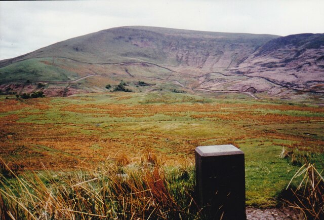
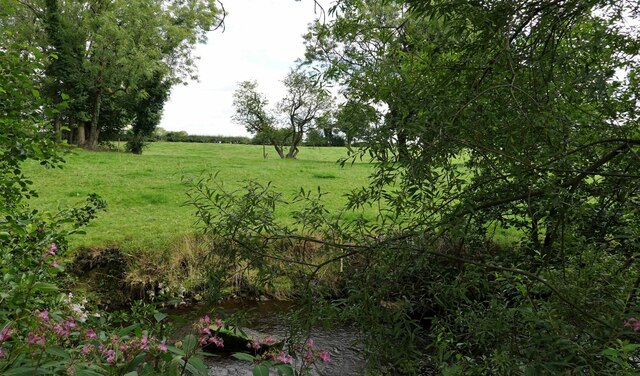
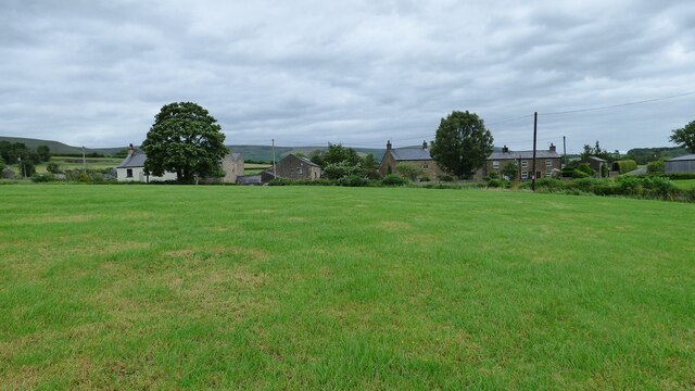
Wolfen Hall Plantation is a historic estate located in the picturesque county of Lancashire, England. Situated amidst a lush woodland area, it is renowned for its natural beauty and rich historical significance. The plantation encompasses a vast area of dense forest, offering visitors a serene and tranquil environment.

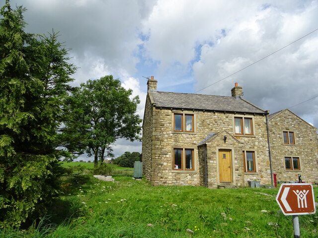
Dating back to the 16th century, Wolfen Hall Plantation has a long and storied past. Originally owned by the prestigious Wolfen family, it served as their residence for several generations. The estate's grand manor house, Wolfen Hall, still stands proudly at the heart of the plantation, showcasing stunning architecture and captivating the imagination of all who visit.

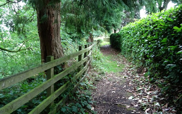
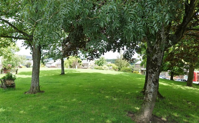
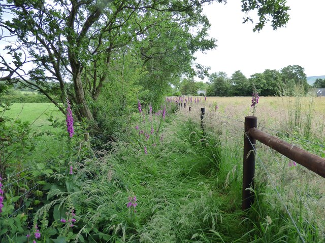
The woodland surrounding the plantation is a haven for nature enthusiasts. It is home to a diverse range of flora and fauna, including ancient oak trees, vibrant wildflowers, and various species of birds and animals. The plantation offers numerous walking trails, allowing visitors to explore the enchanting forest at their own pace.

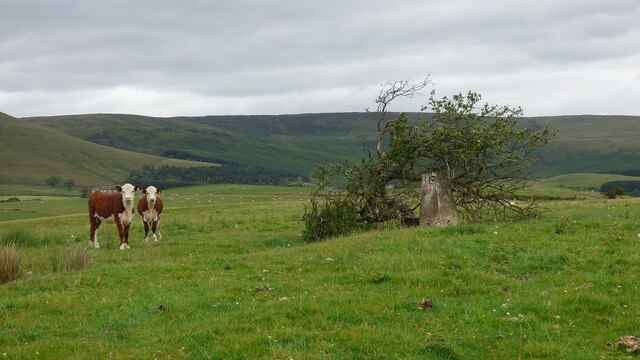
In addition to its natural beauty, Wolfen Hall Plantation holds historical significance. It was once a hub of agricultural activity, with vast fields and farmhouses dotting the landscape. Although these structures are no longer in use, remnants of the estate's agricultural heritage can still be seen, adding to its charm and allure.

Today, Wolfen Hall Plantation continues to captivate visitors from far and wide. Its idyllic setting, combined with its rich history, make it a must-visit destination for those seeking a peaceful retreat and a glimpse into Lancashire's past.

If you have any feedback on the listing, please let us know in the comments section below.

Wolfen Hall Plantation Images

Images are sourced within 2km of 53.895747/-2.594548 or Grid Reference SD6144. Thanks to Geograph Open Source API. All images are credited.

Old Boundary Marker on the way to Saddle Fell, Chipping War Department Boundary Marker beside a path from Saddle End Farm to Saddle Fell. Chipping parish. Inscribed W ↑ D / No 34. See also <a title="https://www.geograph.org.uk/photo/2243015" href="https://www.geograph.org.uk/photo/2243015">Link</a>.

Milestone Society National ID: LA_WDCHIP34em
Old Boundary Marker on the way to Saddle Fell, Chipping
War Department Boundary Marker beside a path from Saddle End Farm to Saddle Fell. Chipping parish. Inscribed W ↑ D / No 34. See also Link. Milestone Society National ID: LA_WDCHIP34em
Providence Chapel Chipping's Congregational church was erected in 1838 and is grade II listed.
Providence Chapel
Chipping's Congregational church was erected in 1838 and is grade II listed.
Club Row, Chipping Built in 1822 - 1824 by the Chipping Brothers' Friendly Society, a club of working men founded in 1789. In 1834 the club joined the Order of Oddfellows. The row was bought by the Brabin's Trust in 2004.
Club Row, Chipping
Built in 1822 - 1824 by the Chipping Brothers' Friendly Society, a club of working men founded in 1789. In 1834 the club joined the Order of Oddfellows. The row was bought by the Brabin's Trust in 2004.
Entering Chipping
Entering Chipping
Hang in there Hang glider over Chipping.
Hang in there
Hang glider over Chipping.
House at a road junction Previously Crag House Farmhouse at the junction of Collin's Hill Lane and Fish House Lane.
House at a road junction
Previously Crag House Farmhouse at the junction of Collin's Hill Lane and Fish House Lane.
Path to a cemetery The path leads from St. Mary's churchyard to the church's new cemetery.
Path to a cemetery
The path leads from St. Mary's churchyard to the church's new cemetery.
St. Mary's Cemetery The new cemetery opened after the old graveyard by the church became full.
St. Mary's Cemetery
The new cemetery opened after the old graveyard by the church became full.
The village green Chipping, in Bowland.
The village green
Chipping, in Bowland.
St. Mary's R.C. church In Chipping.
St. Mary's R.C. church
In Chipping.
St. Mary's church and presbytery In Chipping, Lancashire.
St. Mary's church and presbytery
In Chipping, Lancashire.
Chipping Brook From the garden of St. Mary's church.
Chipping Brook
From the garden of St. Mary's church.
Calves and Trig Point The small tree shown standing 9 years ago <a href="https://www.geograph.org.uk/photo/3866025">SD6043 : Cold Coats Trig</a> has fallen onto the trig point.
Calves and Trig Point
The small tree shown standing 9 years ago SD6043 : Cold Coats Trig has fallen onto the trig point.
Blackhall Farm View from the south.
Blackhall Farm
View from the south.
Overgrown footpath near Chipping
Church of St. Bartholomew <span class="nowrap"><a title="https://historicengland.org.uk/listing/the-list/list-entry/1072279?section=official-list-entry" rel="nofollow ugc noopener" href="https://historicengland.org.uk/listing/the-list/list-entry/1072279?section=official-list-entry">Link</a><img style="margin-left:2px;" alt="External link" title="External link - shift click to open in new window" src="https://s1.geograph.org.uk/img/external.png" width="10" height="10"/></span>
Church of St. Bartholomew
Blindhurst Fell View from Beacon Fell Country Park
Blindhurst Fell
View from Beacon Fell Country Park
Parlick Hill At the south of the main range of the Bowland Fells.
Parlick Hill
At the south of the main range of the Bowland Fells.
Show me another place!

Wolfen Hall Plantation is located at Grid Ref: SD6144 (Lat: 53.895747, Lng: -2.594548)

Administrative County: Lancashire

District: Ribble Valley

Police Authority: Lancashire

What 3 Words

///blackouts.nights.trespass. Near Longridge, Lancashire

Related Wikis

Kirk Mill

Kirk Mill is an early example of an Arkwright-type cotton mill and a grade II listed building in Chipping, Lancashire, in Ribble Valley, to the north of...
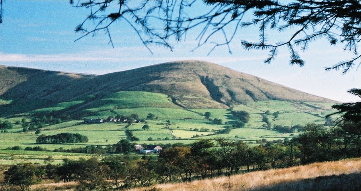
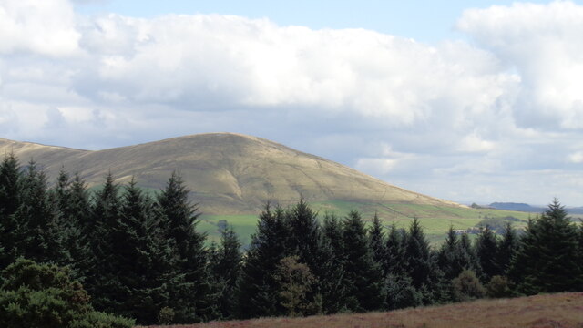
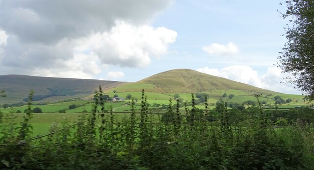
Parlick

Parlick (also known as Parlick Pike) is an approximately cone-shaped steep-sided hill at the extreme south of the main range of Bowland fells in Lancashire...

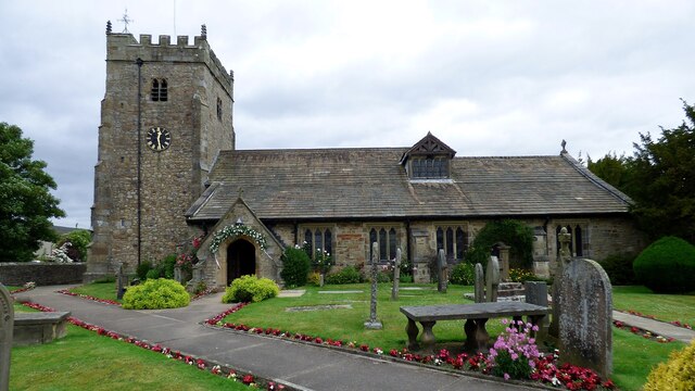
St Bartholomew's Church, Chipping

St Bartholomew's Church is in the village of Chipping, Lancashire, England. It is an active Anglican parish church in the deanery of Whalley, the archdeaconry...

Chipping, Lancashire

Chipping is a village and civil parish in the borough of Ribble Valley, Lancashire, England, within the Forest of Bowland Area of Outstanding Natural Beauty...

Bowland Forest Gliding Club

Bowland Forest Gliding Club is a British gliding club near the village of Chipping, Lancashire. It was formed as the Blackpool and Fylde Gliding Club in...

Bowland-with-Leagram

Bowland-with-Leagram is a civil parish in the Ribble Valley district of Lancashire, England, covering part of the Forest of Bowland. According to the census...

Hesketh End

Hesketh End is an historic building in the English village of Chipping, Lancashire. Built in 1591, with later additions made in the early 17th century...

Bleasdale

Bleasdale is a village and civil parish in the Wyre district of Lancashire, England, in the Forest of Bowland Area of Outstanding Natural Beauty. The two...

Nearby Amenities

Located within 500m of 53.895747,-2.594548
Parking
Wolfen Mill Car Park
Fee: Private, for those staying at the mill
Operator: Wolfen Mill Country Retreats
Lat/Long: 53.8923601/-2.5929388
Wolfen Mill Country Retreats
Tourism: chalet
Lat/Long: 53.8925419/-2.5931131
Barrier: stile
Stile: stepover
Lat/Long: 53.8988301/-2.5951859
Barrier: cattle_grid
Lat/Long: 53.8973493/-2.6001762
Barrier: cattle_grid
Lat/Long: 53.8972615/-2.5997477
Barrier: cattle_grid
Lat/Long: 53.8963516/-2.6017308
The data included in this document is from www.openstreetmap.org. The data is made available under ODbL.

Have you been to Wolfen Hall Plantation?

Leave your review of Wolfen Hall Plantation below (or comments, questions and feedback).