Goose House Wood
Wood, Forest in Lancashire South Ribble
England
Goose House Wood
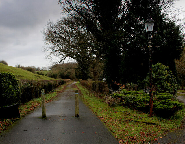
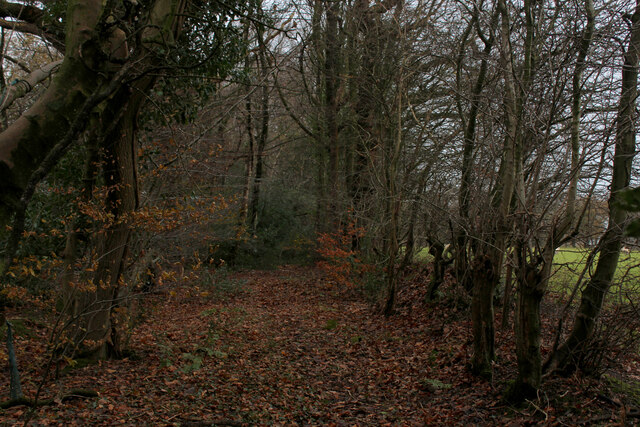
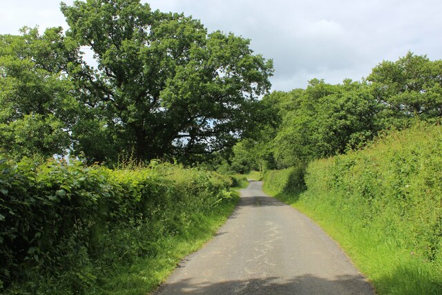
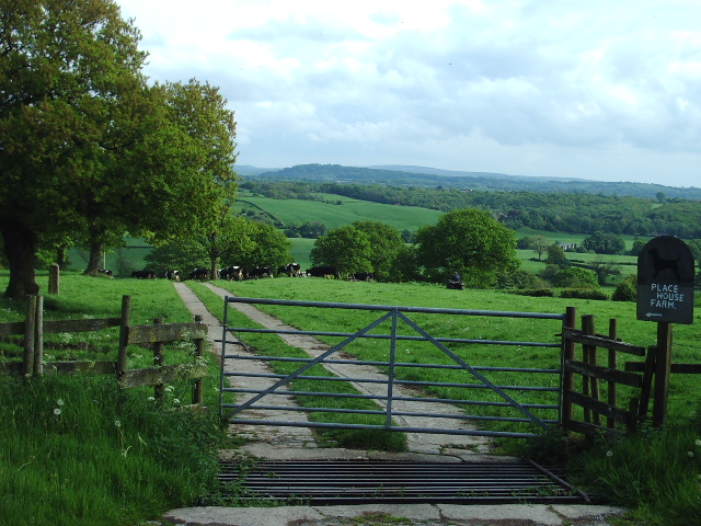
Goose House Wood is a picturesque woodland located in the county of Lancashire, England. With an area of approximately 50 acres, it is a popular destination for nature enthusiasts and outdoor lovers alike.
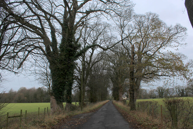
The woodland is characterized by its dense canopy of towering trees, predominantly consisting of oak, beech, and birch. These trees create a tranquil and sheltered environment, providing a sanctuary for an array of flora and fauna. Wildflowers such as bluebells and primroses carpet the forest floor during springtime, adding bursts of color to the landscape.
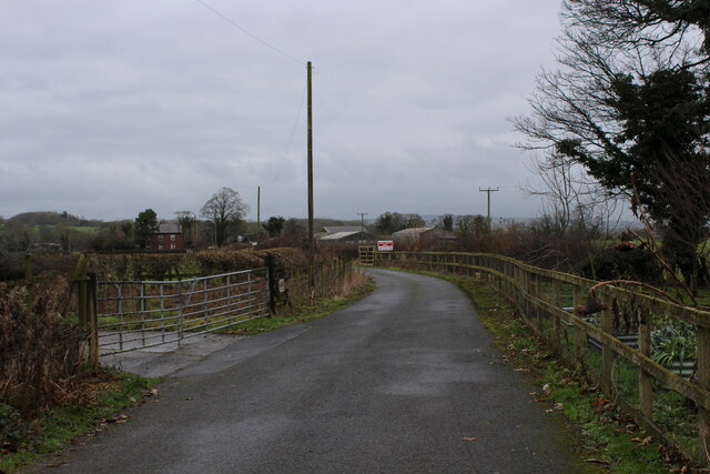
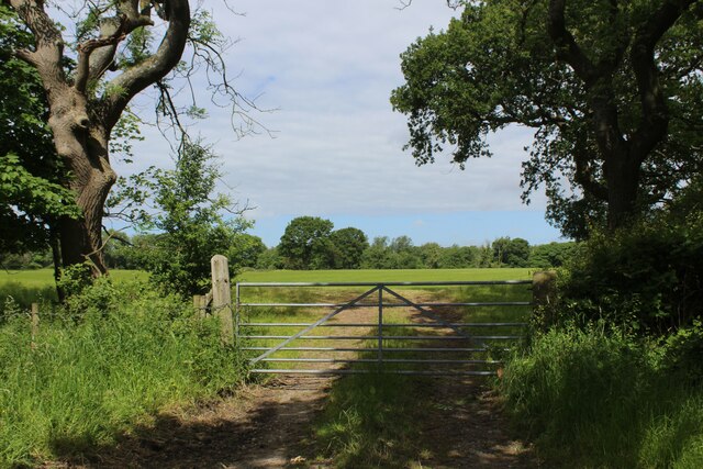
The wood is crisscrossed by a network of well-maintained footpaths and trails, making it easily accessible for visitors. These paths wind through the woodland, offering breathtaking views of the surrounding countryside and providing opportunities for peaceful walks and explorations.
Goose House Wood is also home to a diverse range of wildlife. Keen-eyed visitors may spot red deer, foxes, and rabbits, while birdwatchers can observe various species of birds, including woodpeckers, owls, and warblers. The wood is particularly renowned for its population of rare butterflies, adding to its ecological significance.
Managed by the local conservation trust, Goose House Wood is carefully preserved and protected to maintain its natural beauty and biodiversity. Visitors are encouraged to respect the environment and adhere to the guidelines set by the trust, ensuring the long-term sustainability of this unique woodland.
Overall, Goose House Wood offers a peaceful retreat from the hustle and bustle of everyday life, allowing visitors to immerse themselves in the tranquility of nature and indulge in its beauty.
If you have any feedback on the listing, please let us know in the comments section below.
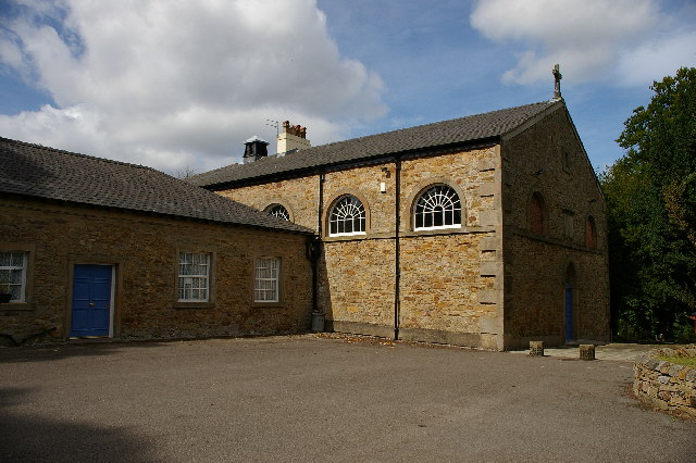
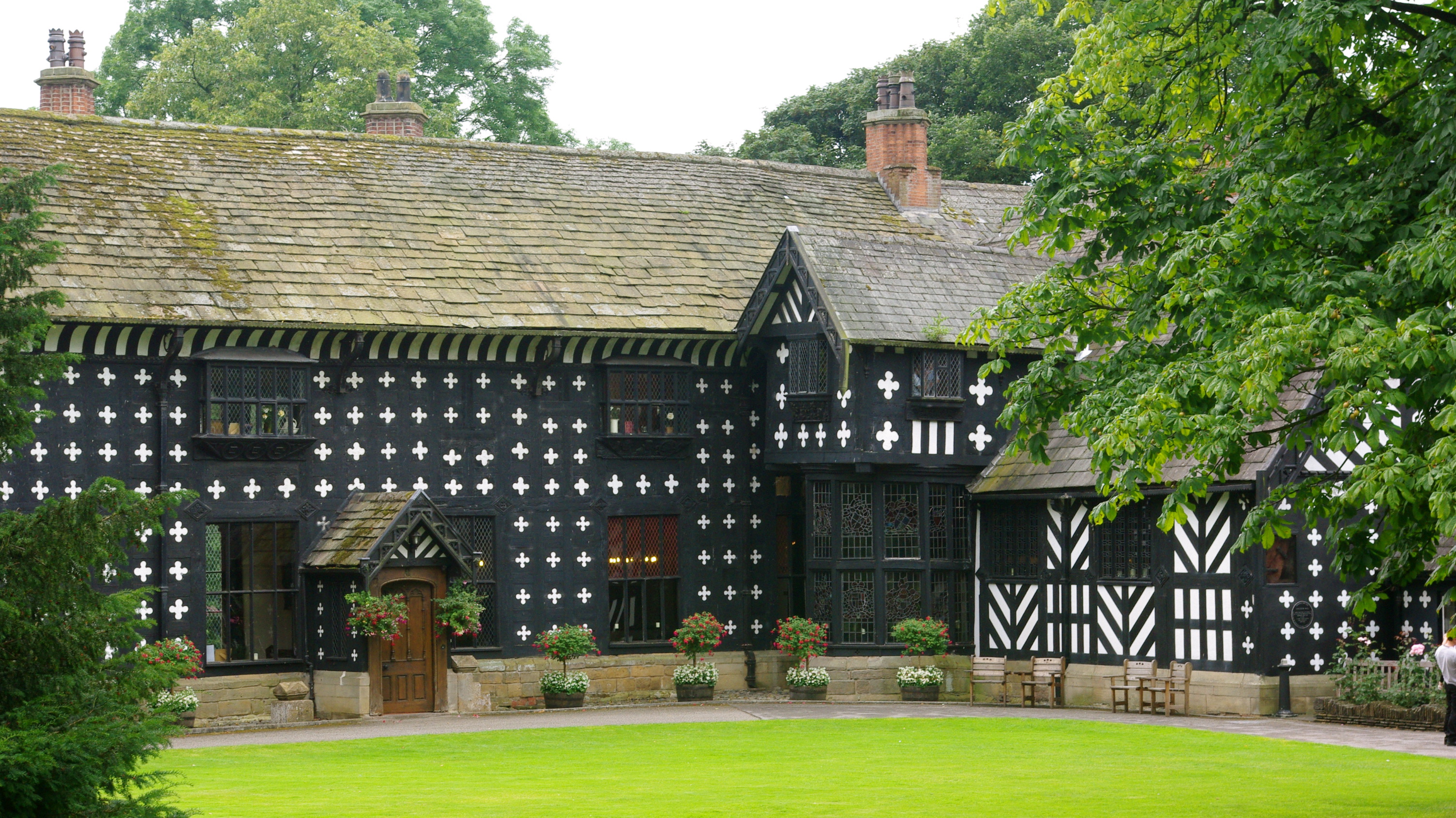
Goose House Wood Images
Images are sourced within 2km of 53.776646/-2.5928779 or Grid Reference SD6131. Thanks to Geograph Open Source API. All images are credited.


Goose House Wood is located at Grid Ref: SD6131 (Lat: 53.776646, Lng: -2.5928779)
Administrative County: Lancashire
District: South Ribble
Police Authority: Lancashire
What 3 Words
///glorified.flattens.horns. Near Longridge, Lancashire
Nearby Locations
Related Wikis
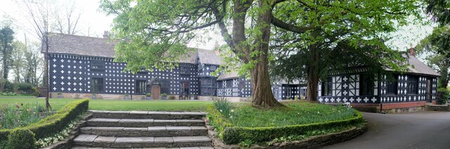
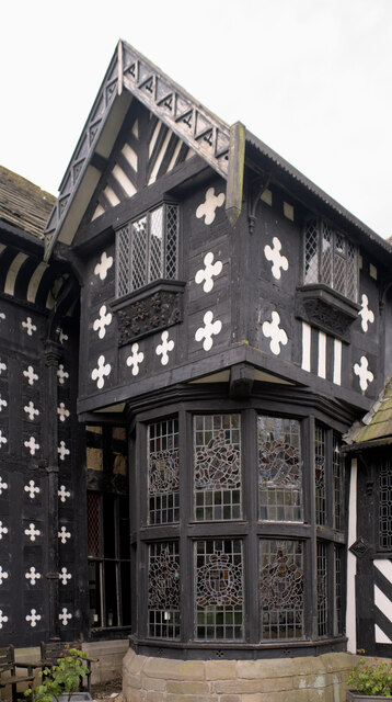
Samlesbury Hall
Samlesbury Hall is a historic house in Samlesbury, Lancashire, England, six miles (10 km) east of Preston. It was built in 1325 by Gilbert de Southworth...

Samlesbury Aerodrome
Samlesbury Aerodrome is a disused airfield at Balderstone near Samlesbury and Blackburn in the Ribble Valley district of Lancashire. The aerodrome is owned...

Samlesbury
Samlesbury ( or locally ) is a village and civil parish in South Ribble, Lancashire, England. Samlesbury Hall, a historic house, is in the village, as...

Church of St Leonard the Less, Samlesbury
The Church of St Leonard the Less is an Anglican church in the village of Samlesbury, Lancashire, England, situated close to the banks of the River Ribble...

St Leonard's Church, Balderstone
St Leonard's Church is in the village of Balderstone, Lancashire, England. It is an active Anglican parish church in the deanery of Whalley, the archdeaconry...

Balderstone, Lancashire
Balderstone is a village and civil parish in the Ribble Valley district of Lancashire, England. The population of the Civil Parish taken at the 2021 census...

Brockholes (nature reserve)
Brockholes is a nature reserve near Preston, Lancashire, England, just off Junction 31 of the M6 motorway. It is owned by the Wildlife Trust for Lancashire...

Alston Hall
Alston Hall is a 19th-century Victorian gothic style country mansion located in Longridge (near Preston) in Lancashire, England. It is not to be confused...
Nearby Amenities
Located within 500m of 53.776646,-2.5928779Have you been to Goose House Wood?
Leave your review of Goose House Wood below (or comments, questions and feedback).