Sheppard Pit Plantation
Wood, Forest in Somerset Mendip
England
Sheppard Pit Plantation

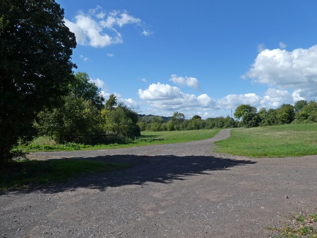
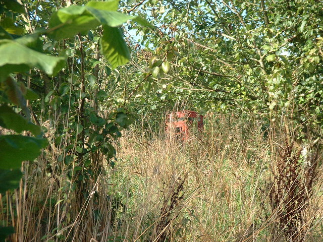
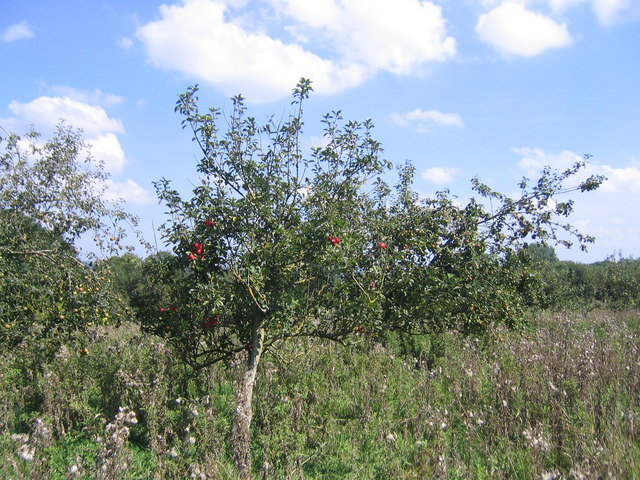
Sheppard Pit Plantation is a sprawling woodland located in Somerset, England. Covering a vast area, it is known for its serene beauty and rich natural diversity. The plantation is primarily composed of woodlands and forests, making it a haven for various flora and fauna.
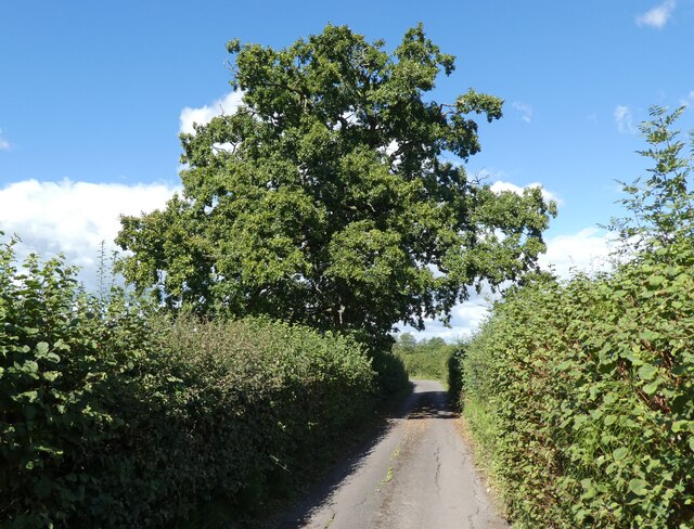
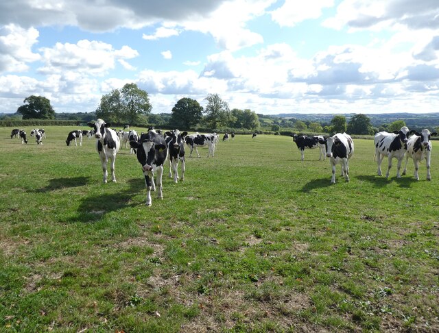
The woodland of Sheppard Pit Plantation is characterized by a mix of broadleaf and coniferous trees, creating a picturesque landscape in every season. The towering oak, beech, and chestnut trees dominate the area, providing ample shade and a habitat for a wide range of wildlife.
The plantation boasts a network of well-maintained walking trails that wind through the forest, allowing visitors to explore and appreciate the natural wonders it has to offer. These trails offer breathtaking views of the surrounding countryside and provide opportunities for birdwatching and wildlife spotting.
The diverse ecosystem of Sheppard Pit Plantation supports a plethora of wildlife, including deer, foxes, badgers, and a variety of bird species. It is also home to several rare and protected species, such as the dormouse and the lesser spotted woodpecker.
The plantation is a popular destination for outdoor enthusiasts, offering activities such as hiking, cycling, and nature photography. It also provides educational opportunities for schools and organizations interested in learning about the local environment and conservation efforts.
Overall, Sheppard Pit Plantation is a natural treasure in Somerset, offering a peaceful retreat for nature lovers and a valuable habitat for the region's wildlife. Its beauty and biodiversity make it a must-visit destination for anyone seeking a connection with nature.
If you have any feedback on the listing, please let us know in the comments section below.
Sheppard Pit Plantation Images
Images are sourced within 2km of 51.147973/-2.5639261 or Grid Reference ST6038. Thanks to Geograph Open Source API. All images are credited.


Sheppard Pit Plantation is located at Grid Ref: ST6038 (Lat: 51.147973, Lng: -2.5639261)
Administrative County: Somerset
District: Mendip
Police Authority: Avon and Somerset
What 3 Words
///forms.seducing.traded. Near Evercreech, Somerset
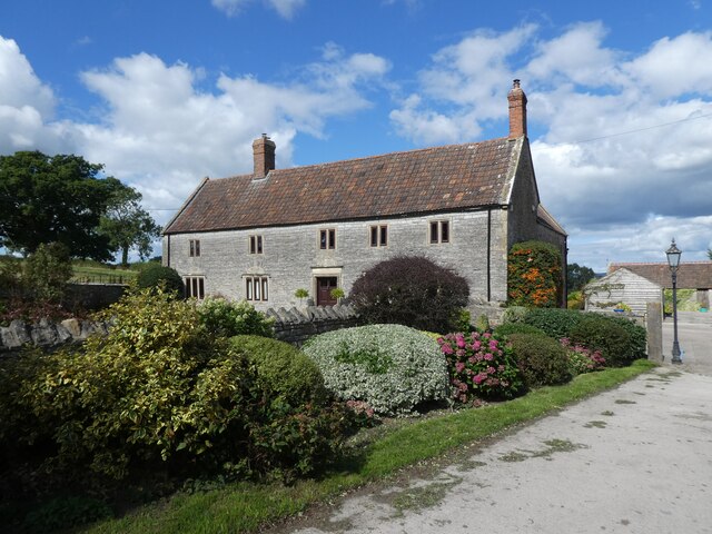
Nearby Locations
Related Wikis
Pylle
Pylle is a village and civil parish 4 miles (6.4 km) south west of Shepton Mallet, and 7 miles (11.3 km) from Wells, in the Mendip district of Somerset...
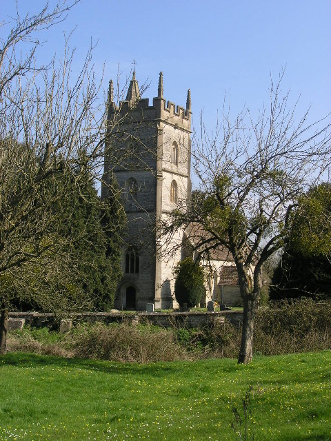
Church of St Thomas à Becket, Pylle
The Anglican Church of St Thomas à Becket in Pylle, Somerset, England, was built in the 15th century. It is a Grade II* listed building. == History... ==

Pylle railway station
Pylle railway station was a station on the Highbridge branch of the Somerset and Dorset Joint Railway. Opened 3 February 1862 on the original S&DJR main...

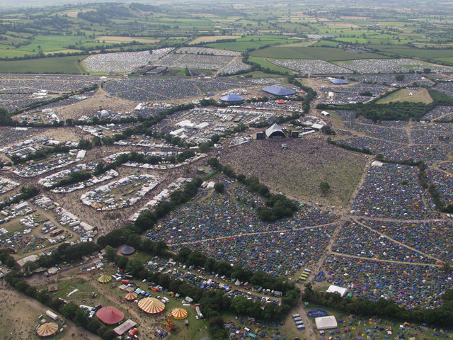
Glastonbury Festival
Glastonbury Festival (formally Glastonbury Festival of Contemporary Performing Arts and known colloquially as Glasto) is a five-day festival of contemporary...
Nearby Amenities
Located within 500m of 51.147973,-2.5639261Have you been to Sheppard Pit Plantation?
Leave your review of Sheppard Pit Plantation below (or comments, questions and feedback).