Jordan's Coppice
Wood, Forest in Herefordshire
England
Jordan's Coppice
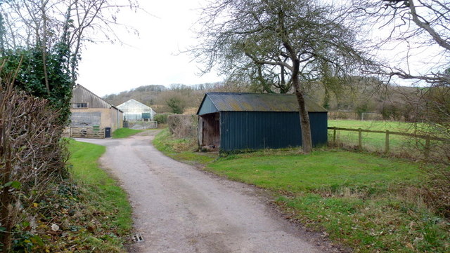
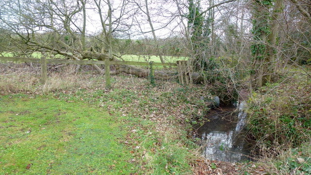
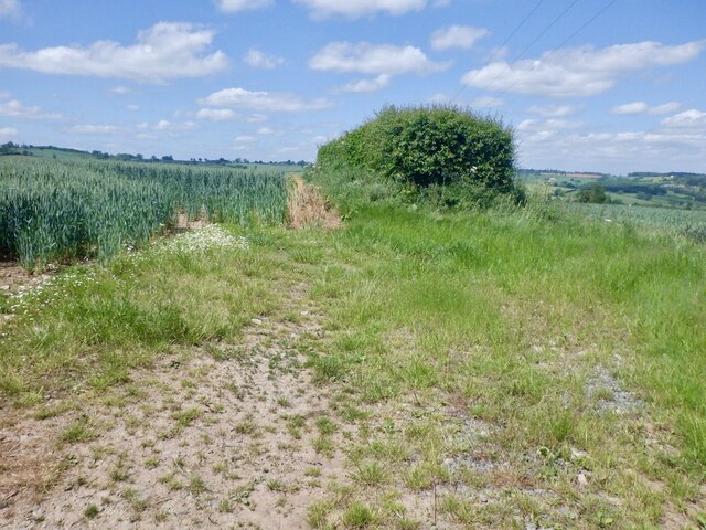
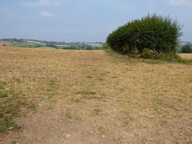
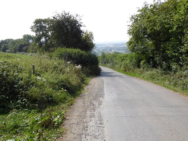
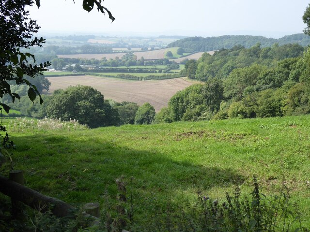
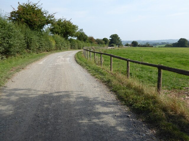
Jordan's Coppice is a picturesque woodland area located in Herefordshire, England. Covering an area of approximately 50 acres, this enchanting forest is known for its diverse range of flora and fauna, making it a popular destination for nature lovers and outdoor enthusiasts.
The woodland is characterized by its dense canopy of ancient oak trees, which provide a haven for various species of birds, including woodpeckers and owls. The forest floor is carpeted with a vibrant mix of wildflowers and ferns, creating a stunning display of colors throughout the seasons.
Jordan's Coppice is also home to a variety of mammals, such as deer, foxes, and badgers, which can often be spotted roaming the forest during quieter times of the day. The woodland is carefully managed to ensure the preservation of its natural habitat, making it an important site for conservation efforts.
Visitors to Jordan's Coppice can explore the numerous walking trails that wind their way through the woodland, allowing them to fully immerse themselves in the tranquil surroundings. The forest also offers opportunities for birdwatching, photography, and picnicking, making it an ideal destination for a day trip or a peaceful retreat.
Overall, Jordan's Coppice is a hidden gem in Herefordshire, offering a unique and idyllic setting for those seeking solace in nature. Its rich biodiversity and stunning landscapes make it a must-visit destination for anyone seeking to reconnect with the great outdoors.
If you have any feedback on the listing, please let us know in the comments section below.
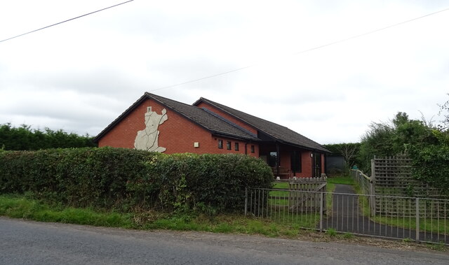
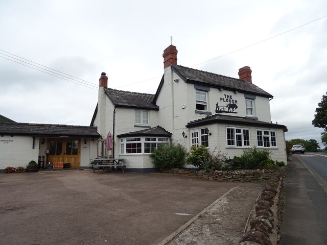
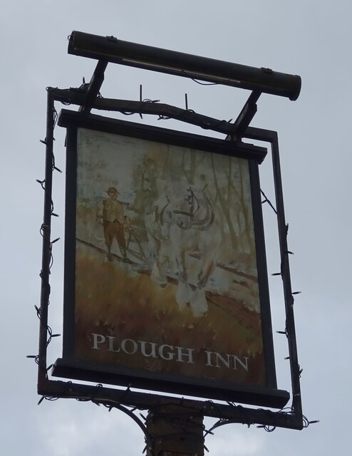
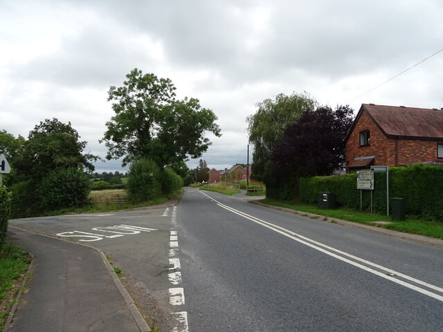
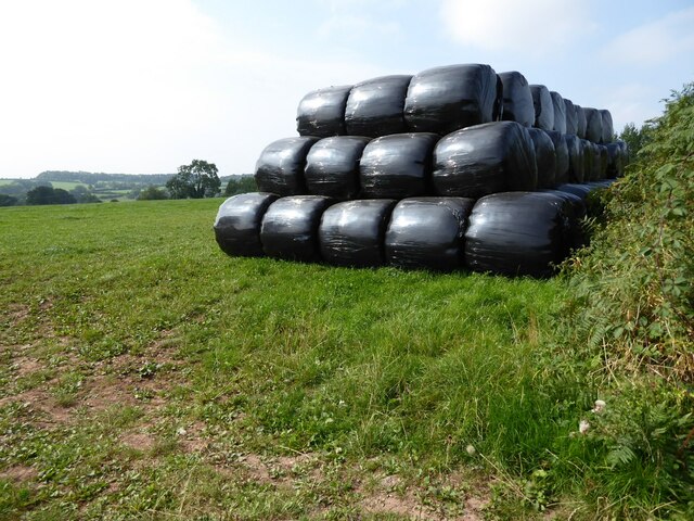
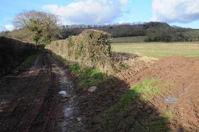
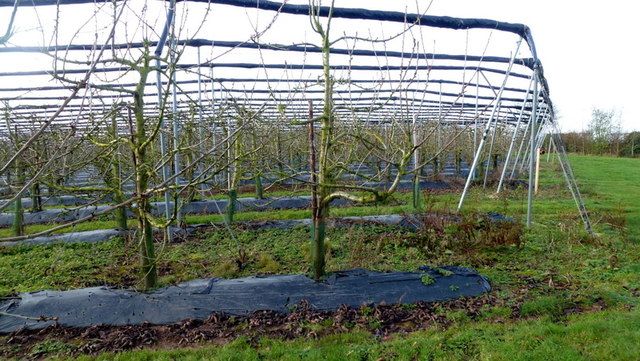
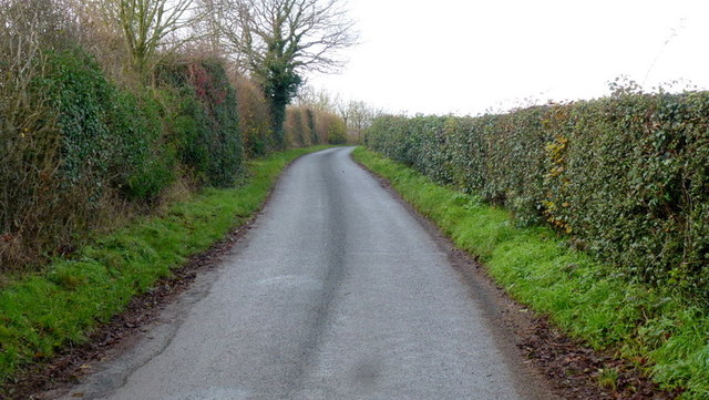
Jordan's Coppice Images
Images are sourced within 2km of 52.147434/-2.5781661 or Grid Reference SO6050. Thanks to Geograph Open Source API. All images are credited.


Jordan's Coppice is located at Grid Ref: SO6050 (Lat: 52.147434, Lng: -2.5781661)
Unitary Authority: County of Herefordshire
Police Authority: West Mercia
What 3 Words
///converged.logo.allergy. Near Moreton Jeffries, Herefordshire
Nearby Locations
Related Wikis
Little Cowarne
Little Cowarne is a village and civil parish in the county of Herefordshire, England, and is 9 miles (14 km) north-east from the city and county town of...

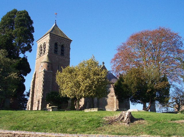
Stoke Lacy
Stoke Lacy is a small village and civil parish in the English county of Herefordshire. Stoke Lacy lies on the main A465 road that connects Hereford and...

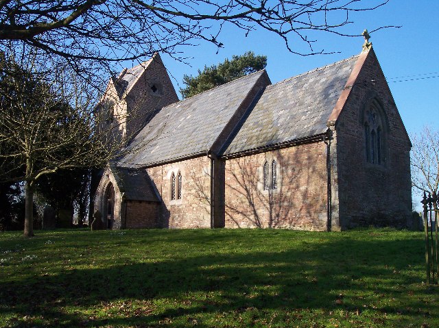
Moreton Jeffries Church
Moreton Jeffries Church is a redundant Anglican church in the hamlet of Moreton Jeffries, some 9 miles (14 km) northeast of Hereford, Herefordshire, England...

Ullingswick
Ullingswick is a small village in Herefordshire, England located about 6 miles (9.7 km) south west of Bromyard, 9 miles (14 km) north east of Hereford...
Moreton Jeffries
Moreton Jeffries (or Moreton Jefferies) is a hamlet in the English county of Herefordshire. It is situated off the A465 between Stoke Lacy and Burley Gate...
Pencombe
Pencombe is a village and former civil parish, now in the parish of Pencombe with Grendon Warren, in Herefordshire, England. The village is 3.5 miles...
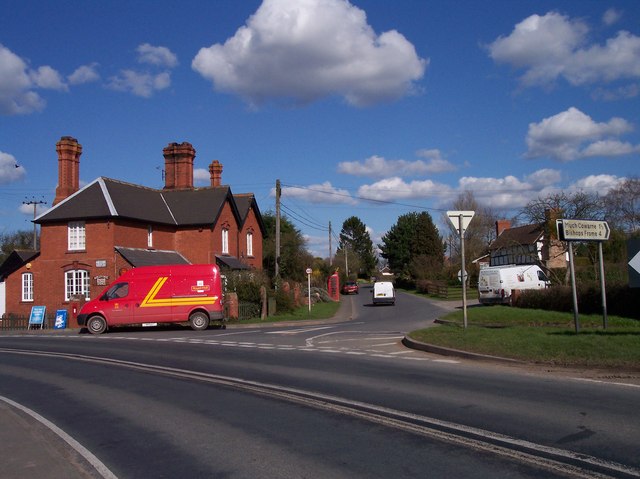
Burley Gate
Burley Gate is a hamlet in Herefordshire, England. It is north-east from the junction between the A465 road and the A417 road. The hamlet is divided between...
Pencombe with Grendon Warren
Pencombe with Grendon Warren is a civil parish in the county of Herefordshire, England. The parish was created in 1895 from the parishes of Pencombe and...
Nearby Amenities
Located within 500m of 52.147434,-2.5781661Have you been to Jordan's Coppice?
Leave your review of Jordan's Coppice below (or comments, questions and feedback).