Copcut
Settlement in Worcestershire Wychavon
England
Copcut
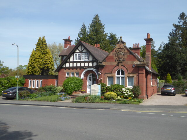
Copcut is a small village located in the county of Worcestershire, England. Situated approximately 2 miles north of Droitwich Spa, Copcut falls within the district of Wychavon. The village is predominantly residential and is home to a close-knit community.
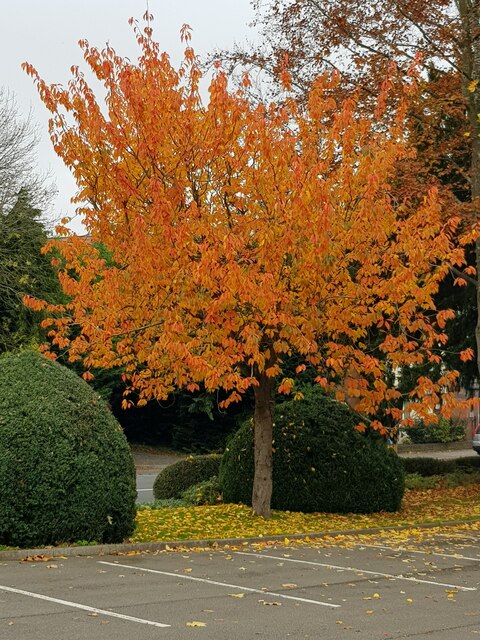
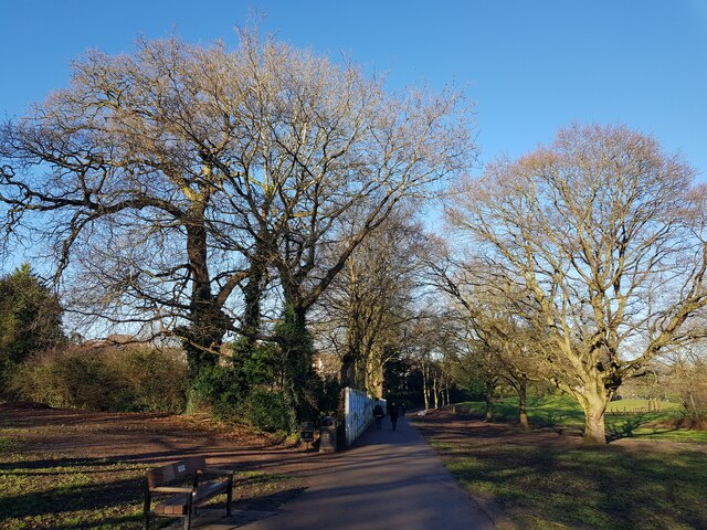
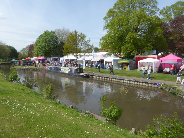
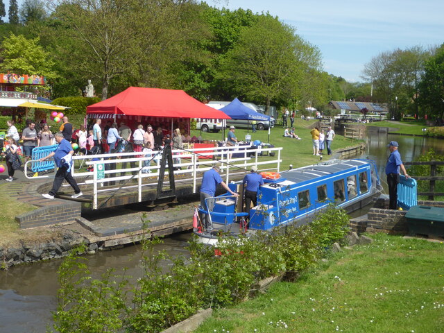
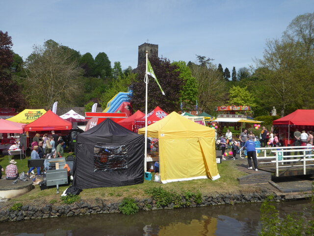
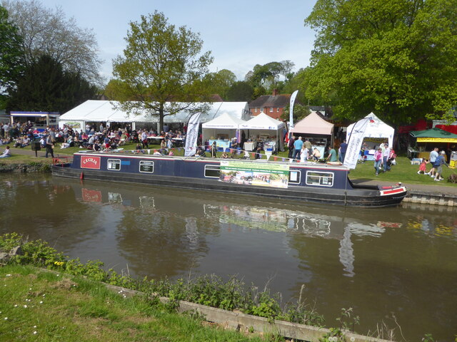
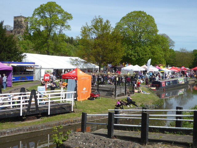
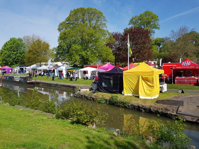
The landscape of Copcut is defined by its rural charm, with picturesque countryside and open farmland surrounding the area. The village benefits from its proximity to the nearby Droitwich Canal, which provides a scenic waterway for leisure activities such as boating and walking. Additionally, the canal is a popular spot for anglers.
Although Copcut is primarily residential, the village does offer some amenities to its residents. These include a primary school, a village hall, and a small convenience store. For more extensive shopping and leisure facilities, residents can easily access the nearby town of Droitwich Spa.
The village has good transport links, with the A38 road passing through the area, connecting Copcut to larger towns and cities such as Worcester and Birmingham. The closest railway station is Droitwich Spa, which provides frequent services to major destinations.
Copcut enjoys a peaceful and rural setting, making it an ideal location for those seeking a quieter lifestyle. The village's close proximity to Droitwich Spa ensures residents have access to a range of amenities and services, while still being able to enjoy the tranquility of village life.
If you have any feedback on the listing, please let us know in the comments section below.
Copcut Images
Images are sourced within 2km of 52.255976/-2.16588 or Grid Reference SO8861. Thanks to Geograph Open Source API. All images are credited.


Copcut is located at Grid Ref: SO8861 (Lat: 52.255976, Lng: -2.16588)
Administrative County: Worcestershire
District: Wychavon
Police Authority: West Mercia
What 3 Words
///rings.jazzy.bottom. Near Droitwich, Worcestershire
Nearby Locations
Related Wikis

Church of the Sacred Heart and St Catherine of Alexandria
The Church of the Sacred Heart and St Catherine of Alexandria is a Catholic church situated in Droitwich Spa, Worcestershire, England, noted for its remarkable...

Droitwich Spa High School
Droitwich Spa High School is a secondary school and specialist Sports College with academy status in Droitwich Spa, Worcestershire, England. It serves...

Salwarpe
Salwarpe is a small village and civil parish in the Wychavon district of Worcestershire, England, less than two miles south west of Droitwich, but in open...

Droitwich Spa railway station
Droitwich Spa railway station serves the town of Droitwich Spa in Worcestershire, England. It is located just to the south-west of Droitwich Spa Junction...

Droitwich Spa
Droitwich Spa (often abbreviated to Droitwich ) is a historic spa town in the Wychavon district in northern Worcestershire, England, on the River Salwarpe...
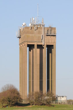
Droitwich Water Tower
The Droitwich Water Tower, also known as Yew Tree Hill Water Tower, is a structure on Yew Tree Hill in Droitwich, England, owned and operated by Severn...
Westwood Priory
Westwood Priory (priory of St. Mary) was a priory of Benedictine nuns founded in 1153, near Droitwich, Worcestershire, England. It was a daughter house...

Droitwich Spa Lido
The Droitwich Spa Lido is a lido in Droitwich Spa, Worcestershire, England. It is one of the few remaining inland, open-air salt-water swimming pools...
Nearby Amenities
Located within 500m of 52.255976,-2.16588Have you been to Copcut?
Leave your review of Copcut below (or comments, questions and feedback).