Acre Wood

Wood, Forest in Westmorland South Lakeland

England

Acre Wood

Livestock restraint Carved stone livestock neck holder now used ornamentally at door to Mansergh Hall
Livestock restraint Credit: Roy Chestnutt

Acre Wood, located in the picturesque region of Westmorland, is a captivating forest that stretches across a vast area of land. This enchanting woodland is renowned for its rich biodiversity and stunning natural beauty, making it a popular destination for nature enthusiasts and adventurers alike.

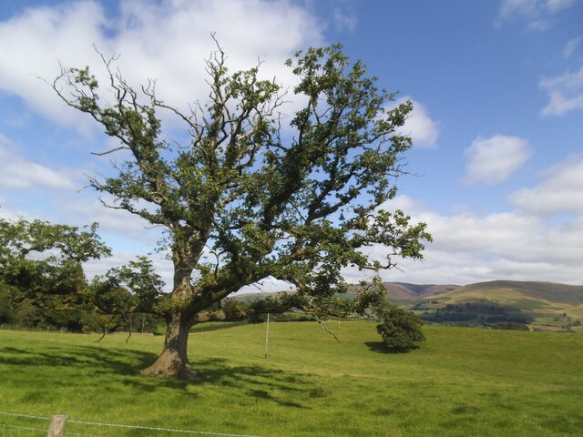
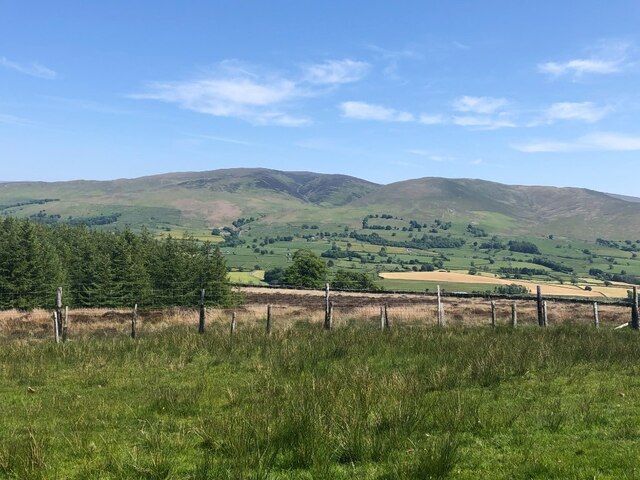
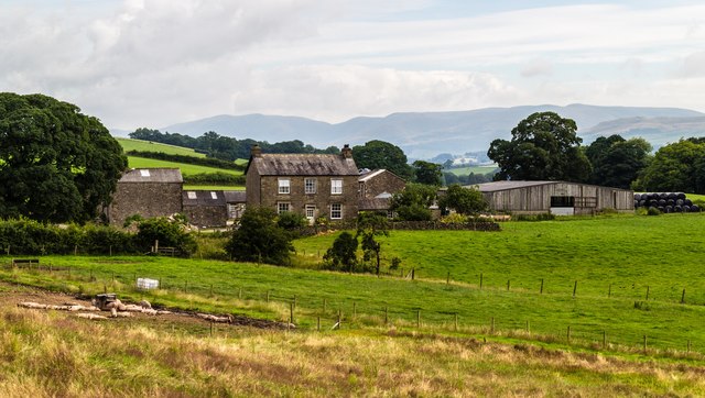
Covering an extensive area of approximately 500 acres, Acre Wood is home to a diverse array of flora and fauna. Towering oak and beech trees dominate the landscape, providing a lush canopy that filters sunlight and creates a serene atmosphere. The forest floor is adorned with a vibrant carpet of wildflowers, ferns, and mosses, creating a picturesque scene that changes with the seasons.

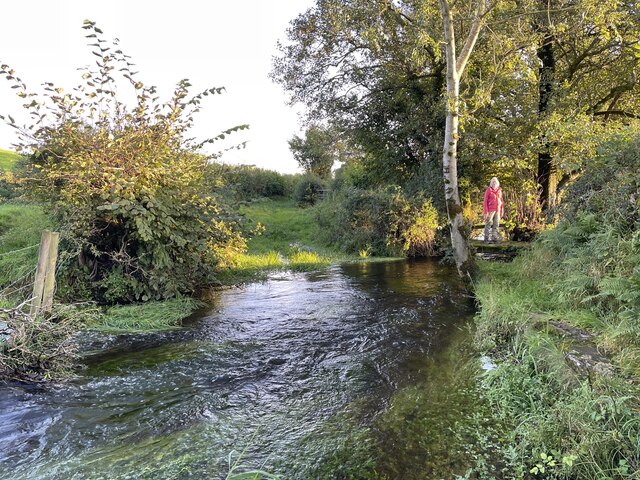
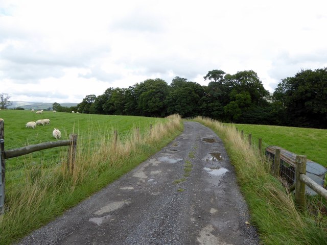
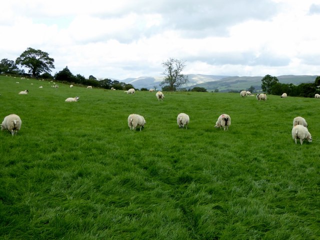
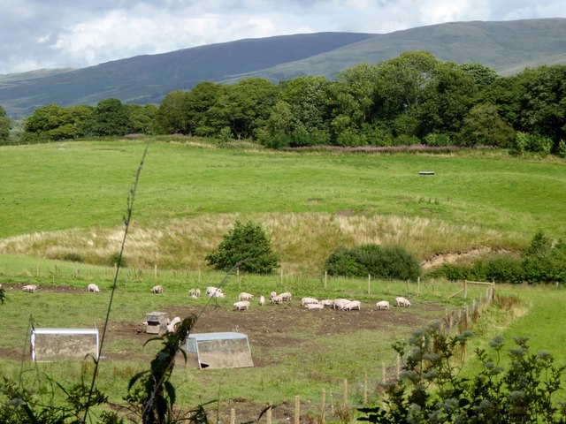
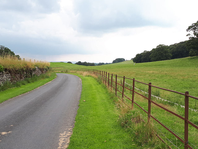
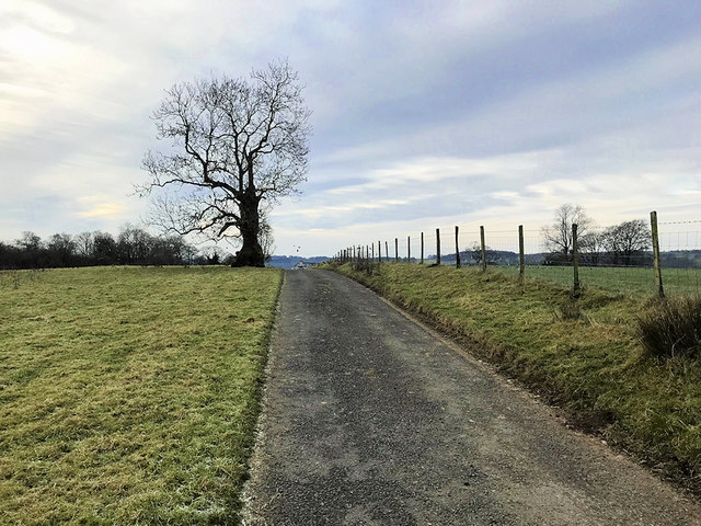
The wood is traversed by a network of well-maintained trails, allowing visitors to explore the forest and discover its hidden treasures. These pathways wind through the ancient woodland, revealing breathtaking viewpoints, babbling brooks, and secluded clearings. It is not uncommon to encounter wildlife such as deer, squirrels, and a variety of bird species while strolling through the wood.

Acre Wood is not only a haven for nature lovers but also serves as an important ecological sanctuary. The forest plays a vital role in maintaining the local ecosystem, providing a habitat for numerous species and contributing to the overall health of the surrounding environment.

Whether one seeks solitude and tranquility or an adventurous hike through nature's wonders, Acre Wood in Westmorland is a captivating destination that never fails to leave a lasting impression on its visitors.

If you have any feedback on the listing, please let us know in the comments section below.
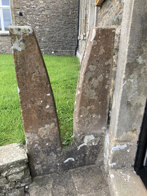
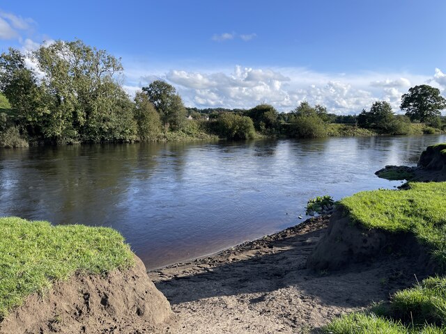
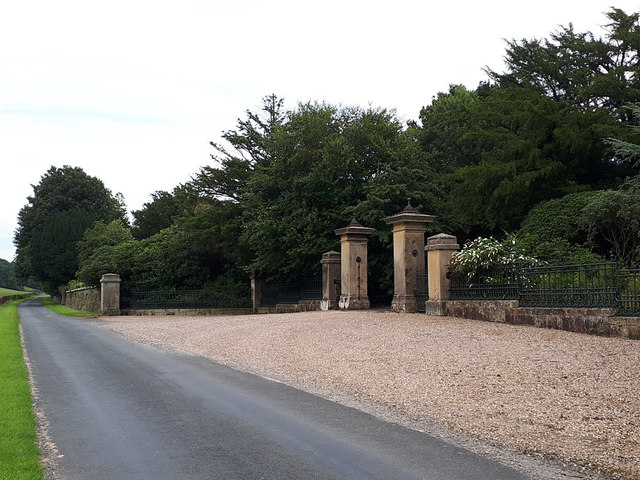
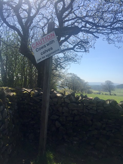
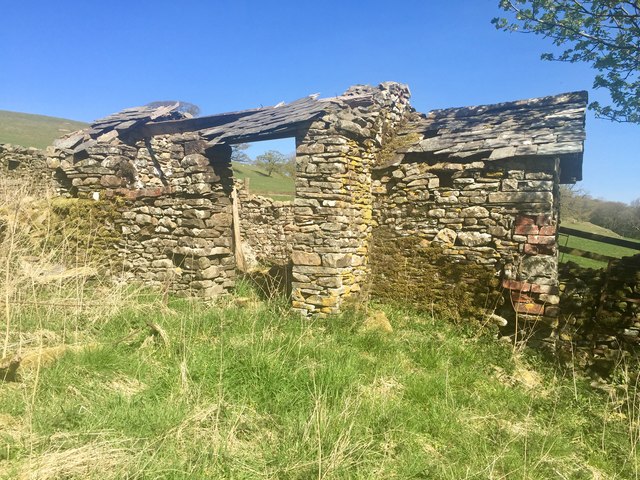
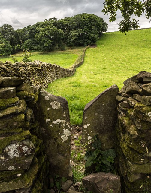
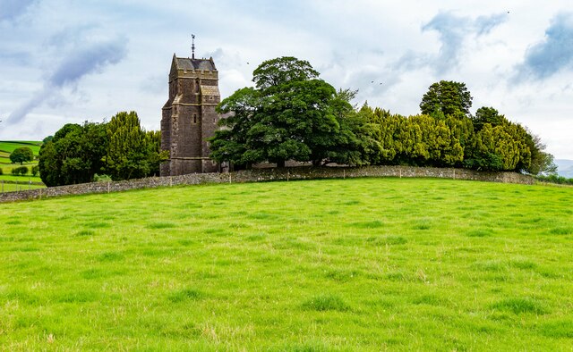
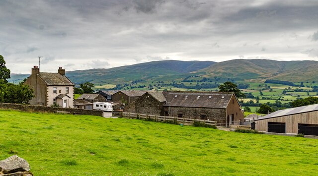
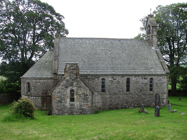
Acre Wood Images

Images are sourced within 2km of 54.243808/-2.6154567 or Grid Reference SD5983. Thanks to Geograph Open Source API. All images are credited.

Livestock restraint Carved stone livestock neck holder now used ornamentally at door to Mansergh Hall
Livestock restraint
Carved stone livestock neck holder now used ornamentally at door to Mansergh Hall
Old oak in a field This is the further tree beyond the pair seen in the foreground of <a href="https://www.geograph.org.uk/photo/6816077">SD6083 : Minor road towards Rigmaden</a> taken in the spring of the same year.
Old oak in a field
This is the further tree beyond the pair seen in the foreground of SD6083 : Minor road towards Rigmaden taken in the spring of the same year.
View across Lunedale From Shawrigg towards Calf.
View across Lunedale
From Shawrigg towards Calf.
River Lune Ford This is another old impassable ford on the River Lune near Nether Hall.
River Lune Ford
This is another old impassable ford on the River Lune near Nether Hall.
Treasonfield Ford This ford is found on High Beckfoot Lane, a track leading down from Treasonfield Farm.
Treasonfield Ford
This ford is found on High Beckfoot Lane, a track leading down from Treasonfield Farm.
Track to Holme House Holme House, a private residence, is on the bank of the River Lune.
Track to Holme House
Holme House, a private residence, is on the bank of the River Lune.
Pasture at Fleshbeck The lush grass should keep the sheep happy.
Pasture at Fleshbeck
The lush grass should keep the sheep happy.
Piggery at Mansergh Hall
Mansergh Hall Mansergh Hall Farm.
Mansergh Hall
Mansergh Hall Farm.
South entrance to Rigmaden Park See <a href="https://www.geograph.org.uk/photo/2288305">SD6184 : Rigmaden Park</a> for the house itself, which is listed grade II, as are these entrance gates, piers and railings designed in 1825 by Francis Webster.
South entrance to Rigmaden Park
See SD6184 : Rigmaden Park for the house itself, which is listed grade II, as are these entrance gates, piers and railings designed in 1825 by Francis Webster.
Rigmaden Park The public road runs through the estate, fenced with typical 'estate railings'.  The wall to the left may be intended to function as a ha-ha.
Rigmaden Park
The public road runs through the estate, fenced with typical 'estate railings'. The wall to the left may be intended to function as a ha-ha.
Bridleway towards Treasonfield Farm
Approaching Treasonfield Farm
Finger Post from Mansergh High Bridleway indicating public path to Old Town Public footpath through stone stile in dry stone wall adjoining public bridleway from Mansergh High Farm towards Mansergh Community Hall. Path leads over grass farmland to Old Scotch Road, Old Town
Finger Post from Mansergh High Bridleway indicating public path to Old Town
Public footpath through stone stile in dry stone wall adjoining public bridleway from Mansergh High Farm towards Mansergh Community Hall. Path leads over grass farmland to Old Scotch Road, Old Town
Derelict outbuilding Woodside Collapsing outhouse to the rear of the unoccupied farmhouse that has been empty for at least 50 years 
xref <a title="https://www.geograph.org.uk/photo/4396000" href="https://www.geograph.org.uk/photo/4396000">Link</a>
Derelict outbuilding Woodside
Collapsing outhouse to the rear of the unoccupied farmhouse that has been empty for at least 50 years xref Link
Acre Wood Footpath leading to Acre Wood.
Acre Wood
Footpath leading to Acre Wood.
St Peter's Church St Peter's Church at Mansergh.
St Peter's Church
St Peter's Church at Mansergh.
Mansergh High Mansergh High Farm.
Mansergh High
Mansergh High Farm.
Show me another place!

Acre Wood is located at Grid Ref: SD5983 (Lat: 54.243808, Lng: -2.6154567)

Administrative County: Cumbria

District: South Lakeland

Police Authority: Cumbria

What 3 Words

///forgot.grins.reacting. Near Kirkby Lonsdale, Cumbria

Nearby Locations

Acre Wood

Related Wikis

Nearby Amenities

Located within 500m of 54.243808,-2.6154567
Pipeline: manhole
Lat/Long: 54.2429337/-2.6190049
Pipeline: manhole
Lat/Long: 54.2401399/-2.6181345
Generator Method: photovoltaic
Generator Orientation: east
Generator Output Electricity: yes
Generator Solar Modules: 4
Generator Source: solar
Generator Type: solar_photovoltaic_panel
Location: roof
Power: generator
Lat/Long: 54.2409769/-2.6095203
Power: pole
Lat/Long: 54.2462421/-2.6098538
Power: pole
Lat/Long: 54.2460383/-2.6107473
Power: pole
Lat/Long: 54.2457245/-2.6122034
Power: pole
Lat/Long: 54.2455951/-2.6138989
Power: pole
Lat/Long: 54.2454776/-2.6155307
Power: pole
Lat/Long: 54.2453839/-2.6169894
Power: pole
Lat/Long: 54.2452515/-2.6187408
Power: pole
Lat/Long: 54.2451488/-2.6201562
Power: pole
Lat/Long: 54.2403677/-2.6190845
Power: pole
Lat/Long: 54.241415/-2.6193009
Power: pole
Lat/Long: 54.2422466/-2.6194918
Power: pole
Lat/Long: 54.2430841/-2.6196751
Power: pole
Lat/Long: 54.2439811/-2.619894
Power: pole
Lat/Long: 54.2458985/-2.6203344
Power: pole
Lat/Long: 54.2466021/-2.620477
Power: pole
Lat/Long: 54.242074/-2.621228
Power: pole
Lat/Long: 54.2411026/-2.6202224
Power: pole
Lat/Long: 54.2401193/-2.6171396
Power: pole
Lat/Long: 54.2401104/-2.6154645
Power: pole
Lat/Long: 54.2401074/-2.6138811
Power: pole
Lat/Long: 54.2400895/-2.6125293
The data included in this document is from www.openstreetmap.org. The data is made available under ODbL.

Have you been to Acre Wood?

Leave your review of Acre Wood below (or comments, questions and feedback).