Hangerberry Wood
Wood, Forest in Gloucestershire Forest of Dean
England
Hangerberry Wood

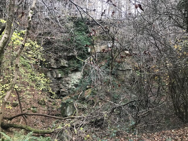
Hangerberry Wood is a picturesque woodland located in the county of Gloucestershire, England. Situated in the heart of the Cotswolds, this ancient woodland covers an area of approximately 500 acres and is renowned for its natural beauty and diverse wildlife.
The wood is characterized by a variety of tree species, including oak, beech, and birch, which create a dense and enchanting canopy overhead. The forest floor is adorned with carpets of bluebells in spring, creating a stunning display of color and fragrance.
Hangerberry Wood is home to numerous wildlife species, providing a haven for both flora and fauna. Deer, badgers, foxes, and squirrels can often be spotted roaming through the forest, while a multitude of bird species, such as woodpeckers, owls, and warblers, fill the air with their melodious songs.
The wood offers a network of well-maintained footpaths and trails that wind their way through the forest, allowing visitors to explore and appreciate the natural wonders it has to offer. These paths offer breathtaking views of the surrounding countryside, including rolling hills, open meadows, and picturesque villages.
Hangerberry Wood is a popular destination for nature enthusiasts, hikers, and photographers who seek tranquility and inspiration in its serene surroundings. Its accessibility and proximity to nearby towns and villages make it a perfect getaway for locals and tourists alike.
Overall, Hangerberry Wood is a cherished natural gem in Gloucestershire, offering a peaceful retreat where visitors can immerse themselves in the beauty of nature and experience the wonders of the British countryside.
If you have any feedback on the listing, please let us know in the comments section below.
Hangerberry Wood Images
Images are sourced within 2km of 51.835197/-2.5826615 or Grid Reference SO5915. Thanks to Geograph Open Source API. All images are credited.


Hangerberry Wood is located at Grid Ref: SO5915 (Lat: 51.835197, Lng: -2.5826615)
Administrative County: Gloucestershire
District: Forest of Dean
Police Authority: Gloucestershire
What 3 Words
///pokes.hardly.premiums. Near Lydbrook, Gloucestershire
Nearby Locations
Related Wikis
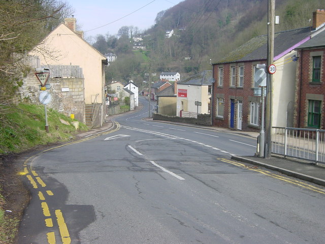
Lydbrook
Lydbrook is a civil parish in the Forest of Dean, a local government district in the English county of Gloucestershire and is located in the Wye Valley...
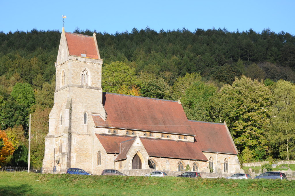
Holy Jesus Church, Lydbrook
Holy Jesus Church at Lydbrook is a Church of England parish church in the English county of Gloucestershire. == Structure == The greater part of the church...

Upper Lydbrook railway station
Upper Lydbrook railway station served the civil parish of Lydbrook, Gloucestershire, England, from 1875 to 1929 on the Severn and Wye Railway. == History... ==

Sarah Siddons' House
Sarah Siddons' House, also called the Old House, is a cottage in the village of Lydbrook, Gloucestershire, England. A Grade II* listed building, the cottage...
Nearby Amenities
Located within 500m of 51.835197,-2.5826615Have you been to Hangerberry Wood?
Leave your review of Hangerberry Wood below (or comments, questions and feedback).